Itinerary: Crossing the Vercors in 4 Days
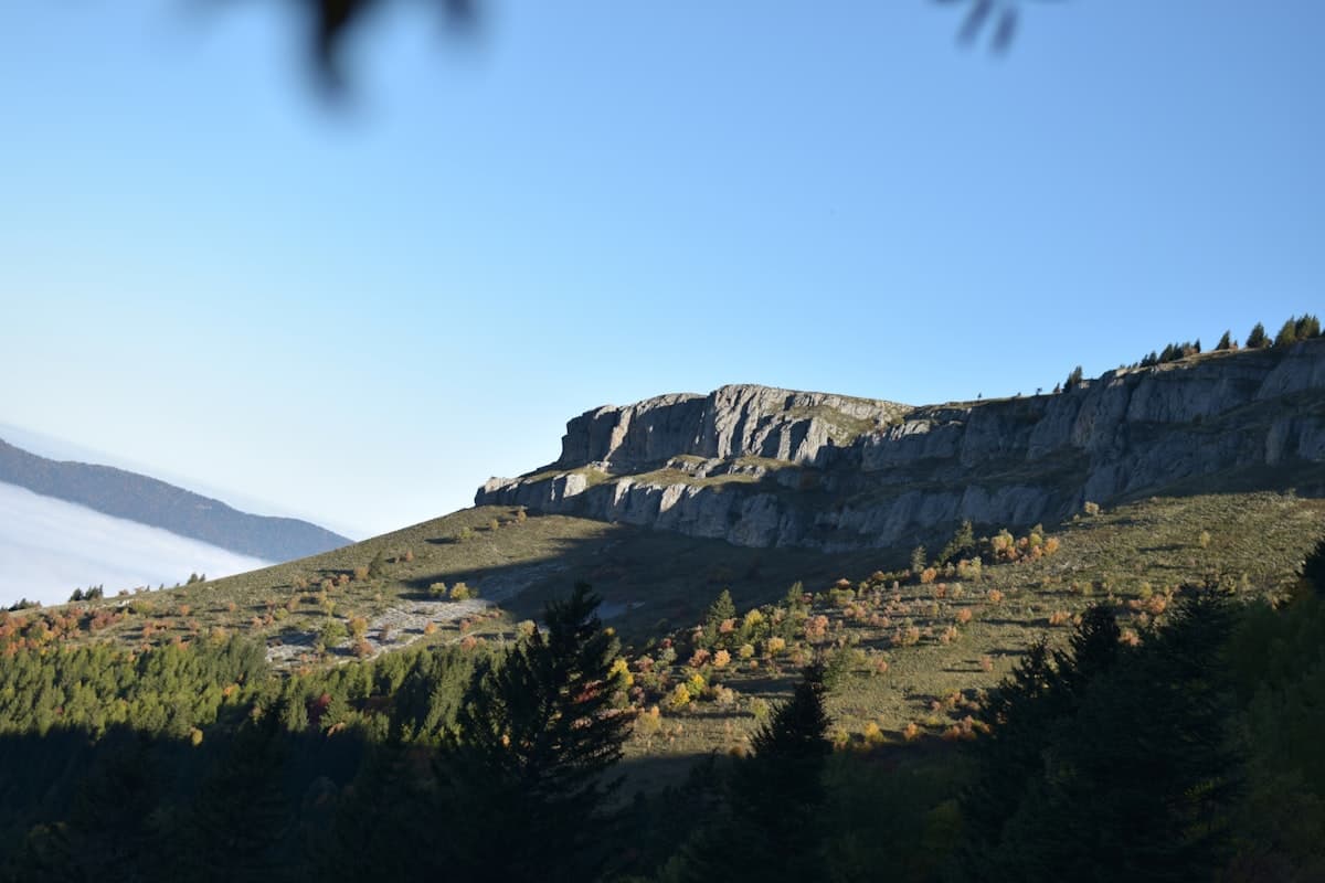
The Vercors is unlike any other massif. White limestone cliffs dropping sheer into the valleys below, dark conifer forests, and at its heart an immense, near-deserted plateau known as the Hauts Plateaux — there is nothing else quite like it in the French Pre-Alps. The four-day traverse of the Vercors, running north to south from Corrençon-en-Vercors to Gresse-en-Vercors, is one of the wildest and most demanding long-distance walking routes in south-eastern France.
The key to understanding this itinerary is simple: self-sufficiency is not optional, water is scarce, and that is precisely what makes this traverse unforgettable. On the Hauts Plateaux, there are no shops, no restaurants, no reliable fountains. Only wind, limestone lapiaz, raptors overhead, and in the distance the outline of the Grand Veymont.
The Hauts Plateaux Nature Reserve: the basics
The central section of this itinerary falls within the Réserve Naturelle Nationale des Hauts Plateaux du Vercors — the largest terrestrial nature reserve in metropolitan France at 17,000 hectares. Wild camping is restricted to authorised zones, fires are prohibited, and dogs are not permitted. The pastoral and forestry huts that dot the plateau are open to hikers free of charge but offer only basic shelter (floor sleeping platforms, sometimes a wood stove).
The GR91 long-distance trail, the backbone of this itinerary, crosses the plateau from north-west to south. It is waymarked in the standard red-and-white paint, though in places the wind and sun bleach the markings off the pale limestone. Always carry a paper IGN map and a fully charged GPS device.
- Total distance: approximately 70 km, point to point
- Cumulative elevation gain: approximately 3,200 m
- Level: experienced to expert — long days, rocky terrain, water autonomy required
- Best season: mid-June to mid-October (snow possible outside this window)
- IGN maps: Top 25 — 3236OT (Villard-de-Lans) and 3236ET (Southern Vercors)
Day 1 — Corrençon-en-Vercors → Cabane de Pré Peyret (22 km, 1,000 m gain)
Setting off from Corrençon
Corrençon-en-Vercors (1,110 m) is the classic starting point for the northern approach. The village is accessible by car from Grenoble (45 minutes) or Villard-de-Lans (10 minutes). Free parking is available at the GR91 trailhead on the edge of the village.
The first hour of walking passes through the fir and spruce forests that surround Corrençon's cross-country ski trails. The path climbs steadily towards the Col de la Chau (1,738 m), the symbolic gateway onto the plateau. At the col, the landscape transforms: dense forest gives way to the vast, open expanse of the plateau stretching south.
Beyond the col, the trail skirts the Darbounouse, a wide pastoral hollow where sheep graze in summer. The view across to the eastern cliff line of the Vercors — the Grande Combe escarpment — is arresting. Allow 5 to 6 hours for the full day to reach the first overnight stop.
Cabane de Pré Peyret
The Cabane de Pré Peyret (1,650 m) is an open pastoral hut maintained by the Vercors Regional Natural Park. It has a common room with basic sleeping platforms and a wood stove. Water is available at the Pré Peyret spring, 200 metres to the north — check in advance whether it is running (it can dry up in late summer).
The Cabane de Pré Peyret loop from Chamaloc (14 km, 637 m gain) gives you a sense of this sector approached from the eastern side.
What to carry for Day 1:
- At least 2.5 litres of water from the start — no reliable water between Corrençon and Pré Peyret
- Waterproof mountain hiking boots — the limestone lapiaz is treacherous when wet
- A sleeping bag (the hut is unheated)
Day 2 — Cabane de Pré Peyret → Grande Cabane (16 km, 600 m gain)
The heart of the plateau
Day two is the most bewitching and, in psychological terms, the most demanding stage. The plateau offers few landmarks, the horizons blur into one another, and the dryness of the terrain can be unsettling in high summer. Navigation is the core challenge of this leg.
From Pré Peyret, the GR91 descends slightly to the Pas des Chalets before climbing back into the heart of the plateau. The route crosses fields of lapiaz — those sculpted limestone pavements formed by centuries of rainwater dissolving the rock — and passes a series of dolines, shallow karst depressions that collect water after rainfall. Do not rely on them: the water they hold is usually unsafe to drink without treatment.
The Beurre plateau
The Plateau de Beurre (1,760 m) is the high point of the day. The 360° panorama takes in the entire massif: the Chartreuse cliffs to the north, the silhouette of the Grand Veymont to the south, the sheer eastern escarpment dropping towards Gresse-en-Vercors. Herds of transhumant sheep often occupy these pastures in summer; stay on the marked trail to avoid disturbing them.
La Grande Cabane
The Grande Cabane (1,700 m) is the main hut on the Hauts Plateaux. Larger than Pré Peyret, it has bunk-style sleeping platforms and a logbook. Water is available at the Baume Rousse spring, 500 metres to the north-east — one of the few reliable water sources on the plateau; do not pass it by.
What to carry for Day 2:
- Water treatment (tablets or filter) — plateau springs can run turbid
- Ultralight water filter — essential for a self-sufficient traverse
- Food for two nights' dinners and Day 2 lunches — no resupply is possible on the plateau
Day 3 — Grande Cabane → Pas du Serpaton → Grand Veymont (14 km, 950 m gain)
Approaching the Grand Veymont
Day three is the most spectacular of the four. The morning begins beneath the cliffs of the Tête Chevalière and climbs progressively towards the Pas du Serpaton (2,040 m), a narrow rocky col that opens onto the eastern flank of the massif.
From the Pas du Serpaton, views extend across the Bièvre plain and the Belledonne range. The trail then follows the eastern crest of the Vercors — an airy limestone ridge with sheer drops of several hundred metres on the Gresse-en-Vercors side.
The Grand Veymont, roof of the Vercors
The Grand Veymont (2,341 m) is the highest point of the Vercors massif. The final ascent from the Pas de la Selle (2,140 m) is steep but short — 30 to 45 minutes to gain the last 200 metres of elevation.
From the summit, the panorama is exceptional: Mont Blanc to the north-east, the Écrins to the east, Mont Ventoux to the south. On clear days the Mediterranean Sea is visible. The Grand Veymont hike from Gresse-en-Vercors (24.97 km, 1,140 m gain, expert level) is the classic day-hike approach to the summit if you want to return to this peak another time.
Bivouac at Pas de la Selle or Cabane de Chaumailloux
After the summit, two options present themselves:
- Bivouac at the Pas de la Selle (authorised bivouac zone) — a night under the stars at the foot of the Grand Veymont is a genuinely rare experience.
- Descend to the Cabane de Chaumailloux (1,720 m) — an open pastoral hut with a water source nearby.
What to carry for Day 3:
- Warm layers — even in summer, wind on the ridge is fierce and temperatures drop quickly above 2,000 m
- Lightweight waterproof jacket — afternoon storms build quickly on exposed crests
- High-protection sunglasses (glare off the white limestone is intense)
Day 4 — Grand Veymont → Gresse-en-Vercors (16 km, 400 m descent)
The final descent
The last day descends gradually towards Gresse-en-Vercors (1,200 m) via the eastern flank of the massif. The path first passes through beech and fir forest before opening onto grassy alpage with constant views east across the Vercors escarpment.
The village of Gresse-en-Vercors marks the official end of the traverse. The reward: a table on a restaurant terrace, looking back up at the Grand Veymont you summited the day before.
Getting back to Corrençon (the starting point): organise a second vehicle at the finish, or arrange a taxi — allow 45 minutes by road via the D1075 and D531.
The water question, huts and bivouac
This is the most critical aspect of the whole traverse. On the Hauts Plateaux du Vercors, surface water is almost entirely absent. The limestone is porous; rainfall infiltrates immediately. Reliable water points are few and can be dry in late summer (August–September).
Identified water sources on the route
| Stage | Water source | Reliability |
|---|---|---|
| Corrençon | Village | Reliable |
| Col de la Chau | Pastoral fountain | Seasonal |
| Cabane de Pré Peyret | Pré Peyret spring | Seasonal |
| Grande Cabane | Baume Rousse spring | Reliable (summer) |
| Pas du Serpaton | Dolines (after rain) | Unpredictable |
| Gresse-en-Vercors | Village | Reliable |
Golden rule: never leave a water source without filling every bottle and bladder to capacity. Carry a minimum of 3 litres per person at all times and a water treatment system (filter or purification tablets).
Open huts
The three main huts (Pré Peyret, Grande Cabane, Chaumailloux) are managed by the Vercors Regional Natural Park and the nature reserve authority. They are open and free of charge, but condition varies year to year. Bring your own sleeping bag and food — no facilities are provided.
Bivouac rules
Bivouac is permitted within the nature reserve only between 7 pm and 9 am, more than 1 km from any road and more than 200 m from any water source. Respect this rule strictly: nature reserve wardens patrol regularly.
Practical information
Getting to the start
Corrençon-en-Vercors is reached from Grenoble via the D531 (45 minutes) and from Villard-de-Lans (10 minutes). Free parking is available at the GR91 trailhead on the village edge.
By public transport: Grenoble–Villard-de-Lans bus (Transisère line 5100), then local shuttle to Corrençon (limited service — check timetables during the season).
Essential gear checklist
- 45–55 litre backpack for four days of fully self-sufficient hiking
- IGN Top 25 maps 3236OT + 3236ET (or offline app with downloaded GPX)
- Headlamp with spare batteries
- Lightweight bivouac kit (sleeping mat, sleeping bag rated for 5–8°C nights)
Safety and regulations
- Weather: check the Météo-France forecast before each day. Convective thunderstorms are frequent on summer afternoons — plan your ridge crossings for the morning.
- No fires: throughout the nature reserve.
- Mobile signal: virtually absent on the plateau. Leave your itinerary and planned overnight stops with a trusted contact.
- Emergency services: the PGHM mountain rescue team covers the Vercors — emergency number: 15 or 112.
Further reading
If you want to explore the Vercors on day hikes before committing to the full traverse, our selection of the best hikes in the Vercors covers the massif's finest single-day routes from the Drôme to the Grésivaudan. You can also browse all referenced trails in the Isère and Drôme on our Explore page.
The Vercors traverse is a serious undertaking — but for those who are ready for it, it leaves memories carved as permanently as the wind carves the white limestone of the Hauts Plateaux.
As an Amazon Associate, we earn from qualifying purchases. Links marked with an external icon are affiliate links.
Related reading
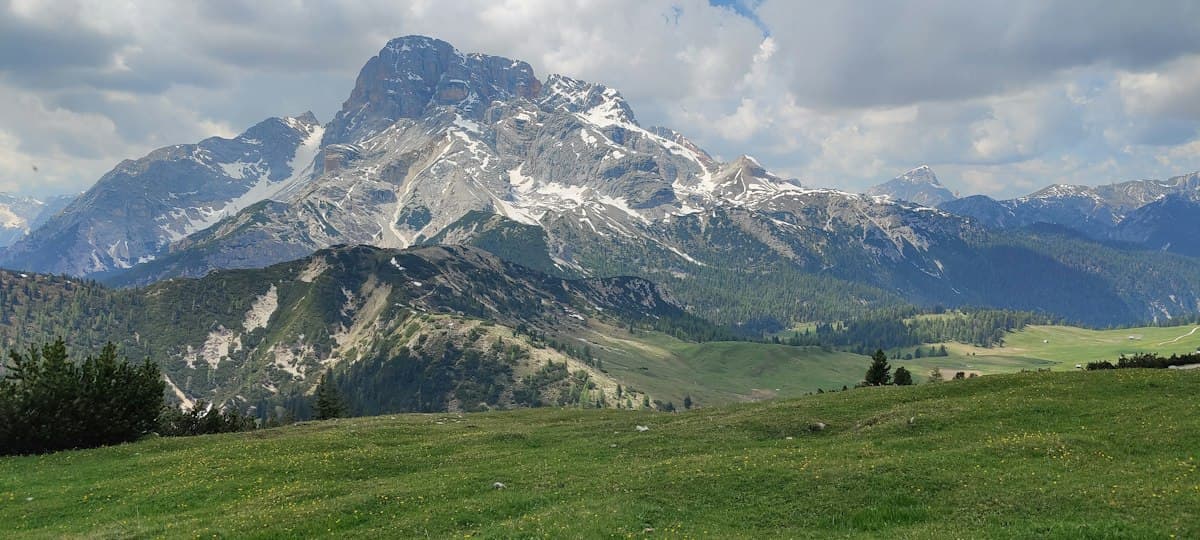
Itinerary: Tour of the Dévoluy in 3 Days
Hiking the full circuit of the Dévoluy massif in three days: stages, refuges, elevation profiles, and everything you need to know about water in this dry limestone range.
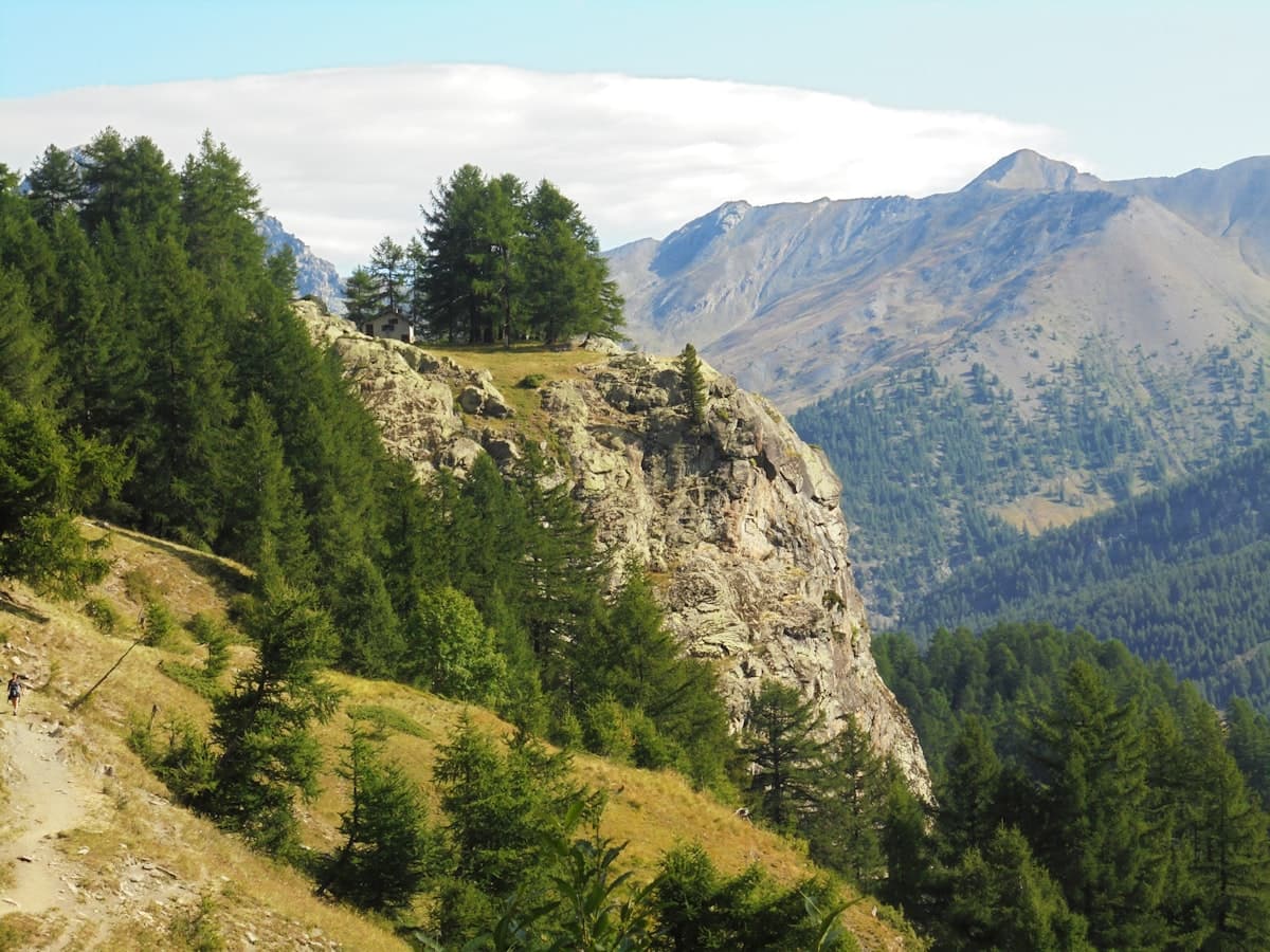
Itinerary: The Queyras Tour in 5 Days
Discover the Queyras Regional Natural Park on a 5-day hiking tour: from Arvieux to Ristolas via Saint-Véran, high-altitude lakes and the Italian border passes. Stages, elevation, accommodation and tips for an unforgettable trek in the Hautes-Alpes.
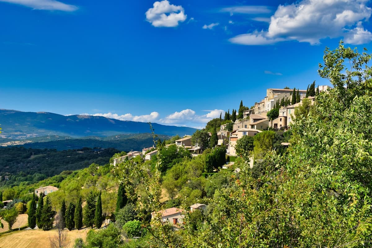
Detailed Itinerary: Crossing the Luberon in 3 Days
Set out to conquer the Luberon in 3 days of hiking: from Bonnieux to the Mourre Nègre summit, passing through cedar forests and ancient plague walls. Stage breakdown, accommodation tips, elevation profiles and practical advice for completing this iconic crossing of the Luberon Regional Natural Park.