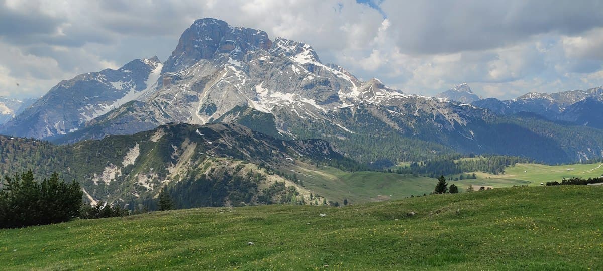
Itinerary: Tour of the Dévoluy in 3 Days
The Dévoluy barely registers on most hiking radars. Wedged between the Trièves, Champsaur and Écrins massifs in the Hautes-Alpes department, this limestone range sits just over an hour from Gap and less than two hours from Grenoble — yet it remains one of the least visited mountain areas in the southern French Alps. That anonymity is exactly what makes it worth seeking out: solitude, silence, and a geology that dictates every camp decision and every sip of water.
The full circuit of the massif starts and finishes at Superdévoluy and takes three days at a comfortable but determined pace. Total distance is around 42 kilometres with approximately 2,600 metres of cumulative elevation gain. The route is demanding but technically accessible to any hiker comfortable on alpine terrain.
The Dévoluy: a massif riddled with holes
Understanding the Dévoluy begins with understanding karst. Beneath its deceptively ordinary alpine meadows, the massif is a vast underground Swiss cheese: rainwater and snowmelt sink immediately into fissures in the limestone, vanish into invisible underground networks, and re-emerge as springs far away, sometimes several kilometres distant. At the surface, the result is almost nothing — no streams, no lakes, only dolines (collapsed sinkholes) by the dozen and endless expanses of grey limestone pavement.
The Obiou (2,789 m) is the massif's high point and one of the most recognisable silhouettes in the southern Alps. Its north face drops seven hundred metres in a near-vertical wall, dominating the plateaus with a calm authority. Hikers completing the circuit have it in view for two full days.
Wildlife in the Dévoluy is exceptional. Chamois and mouflon are common on the higher slopes, and the massif hosts one of the finest griffon vulture populations in the Alps. Do not be surprised to find a dozen wingspans of two and a half metres circling silently three hundred metres above your midday break.
Day 1: Superdévoluy to Refuge de Rama (13 km, 950 m ascent)
The starting point at the Superdévoluy ski station car park (1,480 m) has the pleasant advantage of a perfect loop: leave the car here, return to it in three days.
The first few hours follow a forest track climbing towards the Col d'Aurouze (2,062 m). The vegetation changes quickly: larch forest gives way to short-grazed turf, then to the first limestone bluffs. At the col, the view opens abruptly onto the high plateaus — an expanse of grey lapiaz swept by a constant wind that feels utterly unlike anything in the valleys below.
A brief descent leads into the Combe de Rama, a wild hollow ringed by limestone cliffs, where the Refuge de Rama (1,960 m, CAF) sits in a natural shelter. The hut holds around twenty guests and is staffed from June to September. Dinner is substantial and the guardian knows which water sources are currently active — critical intelligence for Day 2. Book ahead in July and August. For those who prefer sleeping under stars, several flat bivouac spots are available within two hundred metres of the hut.
Day 2: Under the Obiou — traverse to Agnières-en-Dévoluy (16 km, 1,100 m ascent / 1,300 m descent)
This is the longest and most spectacular day. Leave the refuge at first light to cross the high plateaus towards the base of the Obiou. The ground is mineral and occasionally chaotic — lapiaz requires constant attention underfoot — but the atmosphere is unlike anything else in the region. There is a sensation of walking across the roof of a hollow world.
The passage along the north face of the Obiou is the day's centrepiece. The seven-hundred-metre wall dwarfs the hiker with absolute verticality. The summit itself is reachable via a grassy couloir (off-route; crampons advisable outside midsummer), but most hikers completing the circuit choose to remain below — the view from the base is already commanding.
The descent to Agnières-en-Dévoluy (1,113 m) loses 1,300 metres, but the path is well-graded. The terrain softens noticeably as you drop: limestone pavements give way to pastoral meadows with Charolais cattle in alpage, and the occasional inhabited bergerie. At Agnières, the communal gîte (bed and dinner) is a welcome option after this full day. Reserve by phone from the refuge the evening before.
Day 3: Return via the Col du Noyer (13 km, 550 m ascent)
The final day is the gentlest. A gradual climb from Agnières leads to the Col du Noyer (1,664 m), a historic passage between the Dévoluy and the Champsaur valley. The col road is paved but lightly trafficked, and the hiking trail runs parallel, avoiding virtually all of it.
At the col, the panorama stretches to the Écrins on one side and the Vercors on the other — a natural viewpoint that earns a long lunch stop if the weather obliges. The descent back to Superdévoluy threads through forests of Scots pine and larch, quieter and shadier than the preceding days. You'll return to the car park in the late afternoon with the particular satisfaction that only a properly closed loop provides.
Water: rare sources and cisterns
Water management defines this circuit. Reliable water points across the three days are few:
- Day 1: a fountain in Superdévoluy village (reliable), and sometimes a trickle just below the refuge (ask the guardian on arrival).
- Day 2: fill up fully at the refuge before leaving. After that, nothing reliable until Agnières — except in early season when melting snowfields temporarily fill a few hollows. In midsummer, carry a minimum of three litres from the refuge.
- Day 3: one source is marked on the map roughly halfway between Agnières and the Col du Noyer (flow varies seasonally).
A compact water filter is strongly recommended — karst hollows can collect stagnant water that needs treatment before drinking. A 3-litre hydration bladder or bottle is the practical minimum for this traverse.
Weather, thunderstorms, and unstable terrain
The Dévoluy is prone to summer thunderstorms. Its proximity to the Champsaur depression encourages convection — cumulonimbus clouds can develop in under two hours even after a clear morning. The golden rule: be off the ridges by 1 p.m., and read the sky carefully from breakfast onwards.
Wet limestone is treacherous. Lapiaz slabs become slippery as ice with the first drops of rain. Trekking poles provide essential stability on descents and awkward traverses across the pavement. The karst terrain also conceals gaps and fissures not visible from the path — stay on marked trails across the high plateaus.
Practical information
- Getting there: Superdévoluy is 1 hr 15 min from Gap and 1 hr 45 min from Grenoble via the N85 then D994.
- Refuge de Rama: booking mandatory in July–August, strongly advised at other times. There is no phone signal in the Combe de Rama — book before leaving the village.
- Gîte at Agnières-en-Dévoluy: contact the mayor's office or the Dévoluy tourism office.
- Trail marking: GR/PR red-and-white waymarks for most of the circuit. Carry IGN Top 25 map 3338OT (Dévoluy, Obiou).
- Level: experienced. Suitable for hikers accustomed to alpine terrain and water autonomy.
- Best season: mid-June to mid-October. September brings the first autumn colours and fewer storms — arguably the finest window.
For more multi-day itineraries in the southern French Alps, browse routes on OpenRando or read our guide to the Vercors traverse in 4 days, a neighbouring limestone massif with a similarly wild character.
As an Amazon Associate, we earn from qualifying purchases. Links marked with an external icon are affiliate links.
Related reading
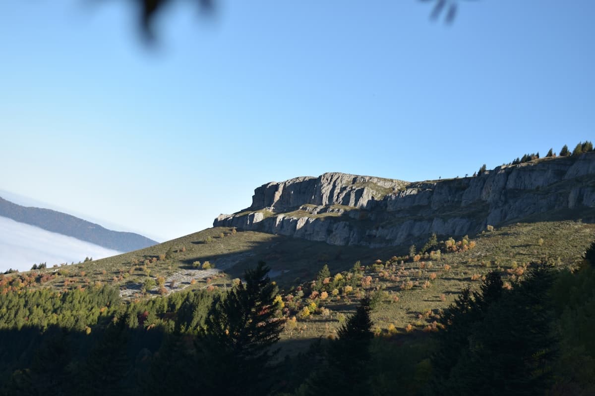
Itinerary: Crossing the Vercors in 4 Days
Crossing the Vercors in four days: stages, elevation profiles, refuges and mountain huts, rare water sources and GPX tracks for each day. A complete guide to the Hauts Plateaux traverse on the GR91.
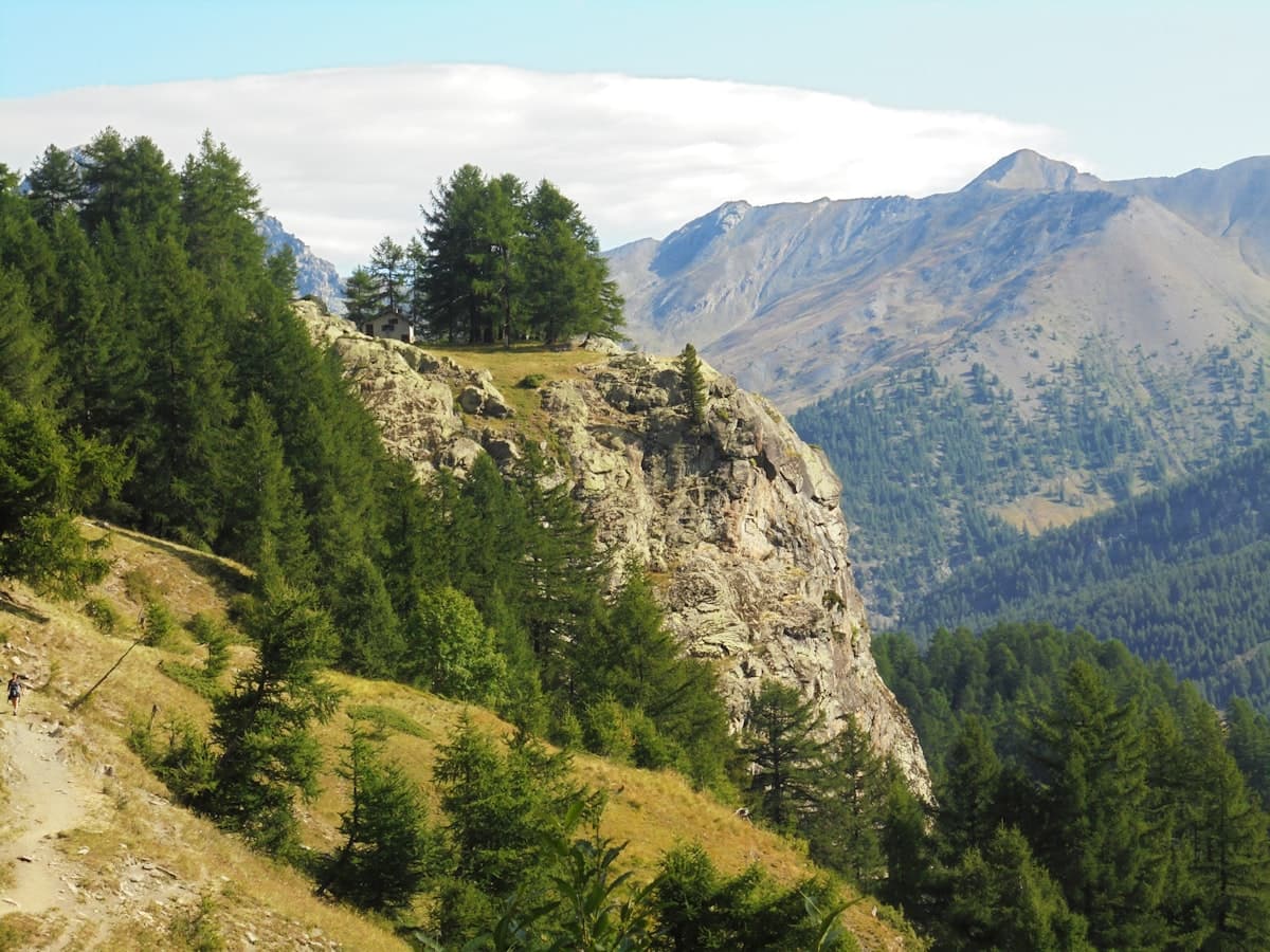
Itinerary: The Queyras Tour in 5 Days
Discover the Queyras Regional Natural Park on a 5-day hiking tour: from Arvieux to Ristolas via Saint-Véran, high-altitude lakes and the Italian border passes. Stages, elevation, accommodation and tips for an unforgettable trek in the Hautes-Alpes.
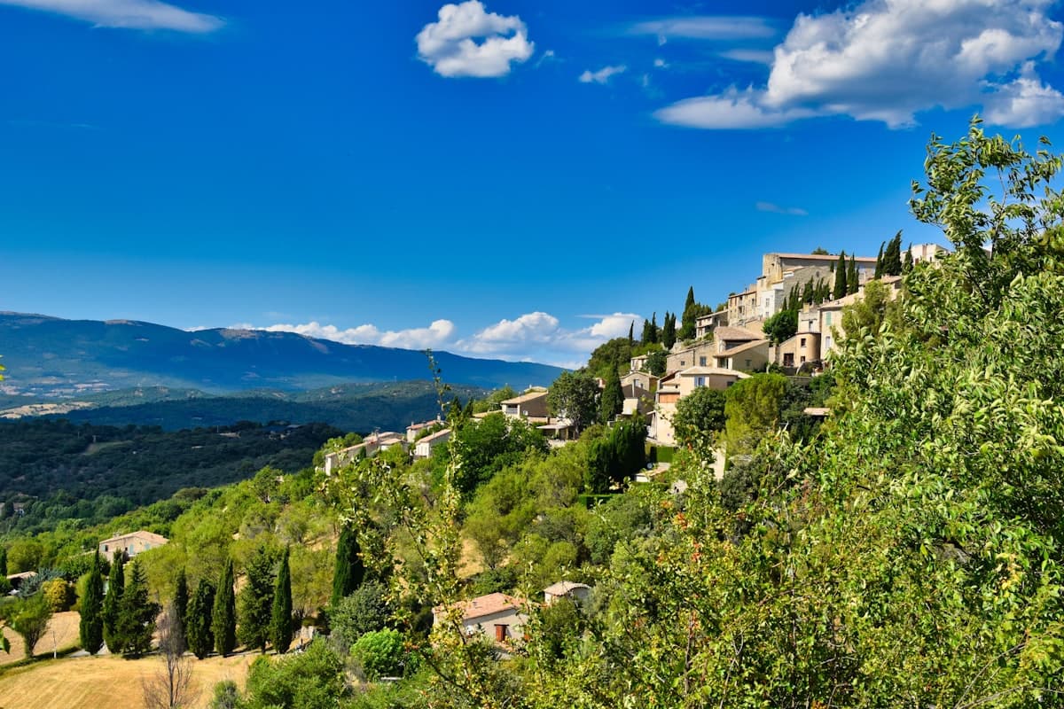
Detailed Itinerary: Crossing the Luberon in 3 Days
Set out to conquer the Luberon in 3 days of hiking: from Bonnieux to the Mourre Nègre summit, passing through cedar forests and ancient plague walls. Stage breakdown, accommodation tips, elevation profiles and practical advice for completing this iconic crossing of the Luberon Regional Natural Park.