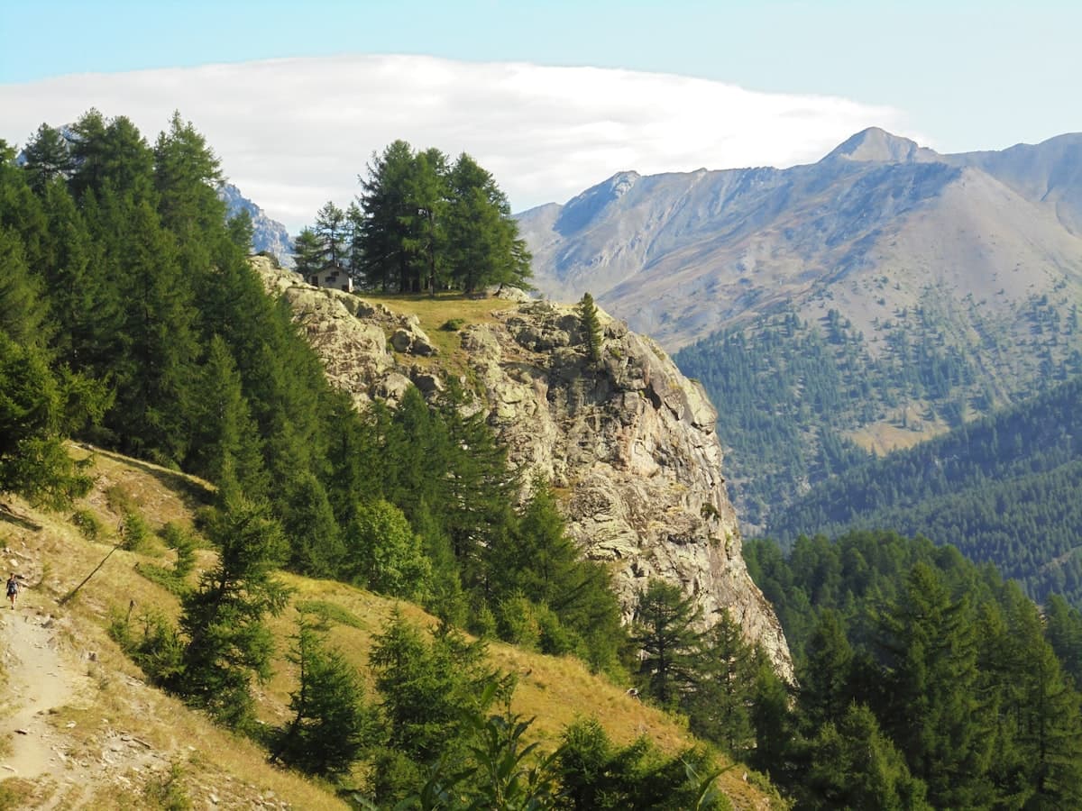
Itinerary: The Queyras Tour in 5 Days
The Queyras is one of the best-preserved alpine massifs in France. On the Italian border, this regional natural park in the Hautes-Alpes stretches between 1,000 and 3,000 metres of altitude, with over 300 sunny days per year, mountain villages with stone-slab roofs, turquoise lakes suspended between ridges, and an exceptionally rich wildlife. The 5-day Queyras Tour is an outstanding trekking itinerary, accessible to regular hikers, that circles the entire park crossing its emblematic valleys and passes.
Overview of the Tour
The Queyras Tour we propose connects the park's major valleys — Arvieux, Ceillac, Saint-Véran, Ristolas — via high passes, alpine meadows and altitude lakes. Over five days, you will cover approximately 90 to 95 km with a total positive elevation gain of around 5,500 m. The recommended level is experienced: long daily distances (17–19 km), significant elevation gains, and sometimes technical trails above 2,500 m.
Best season: mid-June to mid-September. In May and early June, the passes are often snow-covered and some high-altitude trails remain inaccessible. July and August are the most visited months but also the safest for conditions.
Start and finish: Arvieux (Hautes-Alpes village, accessible from Briançon in 45 min or Gap in 1h30). The itinerary is circular — you return to your starting point at the end of 5 days.
Accommodation: mountain huts and refuges dot the route. Book in advance from June to August — Queyras gîtes fill up by April for the summer season.
Day 1 — Arvieux and the Alpine Chalets (17 km, 934 m elevation gain)
Departure from Arvieux (1,550 m)
Arvieux is a typical Queyras village, with its overhanging-roofed houses and larch barns. It makes the perfect starting point for a park tour: well equipped (gîtes, provisions, parking), it allows you to acclimatise before tackling the following days.
The first day involves a gradual ascent towards high alpine pastures. The trail climbs from the village to the Clapeyto alpine chalets — stone granges set on the alp, used by sheep flocks in summer pasture. You then reach Le Collet (approximately 2,350 m), which offers a first panorama over the Queyras ridges and the Italian border.
Day's itinerary: Clapeyto Alpine Chalets – Le Collet Loop from Arvieux — 17.1 km, 934 m elevation gain
This first stage serves as a warm-up. The elevation remains reasonable and the scenery is already spectacular: century-old larch forests, flowering alpine meadows (gentians, arnica), views over the surrounding summits.
What to bring for Day 1:
- 1.5 to 2 litres of water (springs on the way up, but come prepared)
- Waterproof hiking shoes with a grippy sole — essential on sometimes muddy alpine trails
- Sun protection: altitude intensifies UV rays, even on cloudy days
Evening stage: Arvieux or Agnel chalets (depending on your pace).
Day 2 — Ceillac, the Cascade de la Pisse and Lac Sainte-Anne (18 km, 1,140 m elevation gain)
The Most Spectacular Day of the Tour
The second day is often considered the most spectacular of the tour. From Ceillac (1,640 m) — a charming village nestled in a valley surrounded by larch forests — the trail climbs towards two exceptional sites.
The Cascade de la Pisse is a powerful waterfall plunging more than 100 metres through a rocky couloir. Impressive in June (snowmelt), more peaceful in August, it remains a striking sight whatever the season. Above, the alpine meadows gradually open up to Lac Sainte-Anne (2,415 m) — a glacial lake with vivid blue-green water, framed by ridges exceeding 3,000 m. It is one of the most beautiful high-altitude lakes in the Queyras.
Day's itinerary: Cascade de la Pisse – Lac Sainte-Anne Loop from Ceillac — 18.2 km, 1,140 m elevation gain
The trail descends back to Ceillac on the opposite slope, with a sweeping view over the village and the distant Ubaye valley.
What to bring for Day 2:
- 2.5 litres of water minimum (long section without reliable water above the lake)
- Lightweight waterproof jacket — afternoon thunderstorms are common in July–August at altitude
- Trekking poles — invaluable on the technical descent after the lake
Evening stage: Ceillac — several gîtes and a refuge are available.
Day 3 — Saint-Véran and the Clausis Chapel (18 km, 597 m elevation gain)
Europe's Highest Village
Saint-Véran (2,042 m) is the highest permanently inhabited village in Europe. Its larch wood houses with flower-decked balconies, sundials adorned with Provençal maxims, and picturesque lanes make it one of the jewels of the Queyras. The third day departs from this exceptional village for a less strenuous hike rich in history and scenery.
The trail climbs to the Clausis Chapel (2,390 m), a place of pilgrimage since the 17th century, perched on a rocky spur facing the Italian glaciers. The view from the chapel spans the French-Italian border, the Val Varaïta on the Piedmontese side and the Queyras ridges. An unforgettable panorama.
Day's itinerary: Saint-Véran Village – Clausis Chapel Loop from Saint-Véran — 18.6 km, 597 m elevation gain
This is the ideal day to slow down and soak in the village's details: Soum museum, 17th-century church, local craft workshops. The descent crosses meadows carpeted in crocuses (late June) or pink moss campion.
What to bring for Day 3:
- Your camera — the views warrant lingering
- A mid-layer (evenings at altitude are cool even in summer)
Evening stage: Saint-Véran — numerous gîtes and guest houses.
Day 4 — Ristolas and the Lacs Lacroix (18 km, 777 m elevation gain)
In the Heart of the Upper Guil Valley
The fourth day descends to Ristolas, the last village in the upper Guil valley before the Italian border. Sitting at 1,634 m, it is a characterful hamlet with its stone houses and end-of-the-world feel. The trail then climbs back up through alpine pastures to the Lacs Lacroix (2,400 m) — a cluster of small glacial lakes connected by streams, surrounded by meadows with exceptional alpine flora.
Day's itinerary: La Monta – Lacs Lacroix Loop from Ristolas — 18.7 km, 777 m elevation gain
The day is gentler in terms of elevation, allowing you to appreciate the details: chamois tracks in late snowfields, marmots whistling from the screes, griffon vultures soaring over the ridges. The Guil valley is one of the richest in the park for wildlife.
What to bring for Day 4:
- Lightweight binoculars — for spotting chamois and bearded vultures
- High-factor sun cream (UV exposure is intense at these altitudes)
Evening stage: Ristolas or Abriès (neighbouring village with more accommodation options).
Day 5 — The Return via the Col de Mary and Border Lakes (19 km, 1,033 m elevation gain)
The Grand Finale Facing Italy
The fifth and final day is the most committing. From Ceillac, the trail climbs to the Col de Mary (2,641 m, Colle del Maurin on the Italian side) — a border pass used for centuries by merchants and shepherds transporting flocks between Provence and Piedmont. The view from the pass is breathtaking: on one side the Val Maira and the Piedmontese Alps, on the other the Queyras and its deep valleys.
Day's itinerary: Maljasset – Col de Mary (Colle del Maurin) Loop from Ceillac — 18.9 km, 1,033 m elevation gain
The descent towards Maljasset (hamlet of Uvernet-Fours) crosses wild alpine pastures before reaching the Blanche valley. A shuttle or taxi back to Arvieux is possible from Barcelonnette to complete the circuit.
Note: if you prefer to stay on the Queyras side for the return, the Pas du Cure offers a sporty alternative back to Arvieux via the park's northern ridges (Pas du Cure in the Queyras — 18.5 km, 1,519 m elevation gain). This is the wildest and most demanding option, reserved for very experienced hikers.
Practical Information
Getting There
From Briançon: 45 min drive via the N94 and D902 to Arvieux. Regular bus service from Briançon to Guillestre, then summer shuttle to Arvieux.
From Gap: 1h30 drive via the N94 and D902.
Parking: free parking in Arvieux village or at the Plan de Vars car park.
Accommodation Along the Route
| Stage | Village | Options |
|---|---|---|
| Evening J1 | Arvieux | Mountain hut, camping, hotel |
| Evening J2 | Ceillac | Mountain hut, refuge, camping |
| Evening J3 | Saint-Véran | Gîtes, guest houses |
| Evening J4 | Ristolas / Abriès | Gîte, camping |
| Evening J5 | Return to Arvieux | Gîtes |
Booking is essential from March onwards for summer stays. The Queyras is very busy from mid-July to mid-August.
Recommended Gear
- 45 to 55-litre backpack for 5 days using gîtes
- High-cut waterproof trekking boots — passes above 2,500 m require good ankle support
- Lightweight sleeping bag (gîtes sometimes provide sheets — check in advance)
- Headlamp
- IGN Top 25 map n°3637OT (Guillestre – Mont-Viso – Queyras) or app with GPX track downloaded offline
Food and Water
- Grocery shops in Ceillac, Saint-Véran and Abriès
- Bakeries in Arvieux and Molines-en-Queyras
- Public fountains in all villages
- Springs at altitude: generally reliable in the Queyras, but always carry a 2-litre reserve
Key Considerations
- Weather: the Queyras is famous for sunshine, but afternoon thunderstorms are common in summer. Start early to be off the passes by 2 pm.
- Altitude: some passes exceed 2,600 m. If you are not used to altitude, plan an acclimatisation night in Arvieux before starting.
- Mobile coverage: good in the valleys, unreliable on passes. Share your itinerary with someone before you go.
- Protected wildlife: the Queyras is a regional natural park. Do not pick flowers, do not feed animals, stay on marked trails.
Variants and Side Trips
If you want to enrich the itinerary, several excursions are possible from the overnight stops:
- Cima Mongioia (Italian side): from the border, climb to the summit of Cima Mongioia (2,964 m) in the Valle Varaïta — Cima Mongioia – Valle Varaïta (16.6 km, 1,400 m elevation gain). For experienced hikers.
- Lac Égorgeou and Lac Foreant: accessible from the Italian border, Crissolo side (Lac Égorgeou – Lac Foreant Loop — 17.9 km, 1,128 m elevation gain). A beautiful cross-border alternative.
Go Further
The Queyras deserves in-depth exploration. Our Explore page lists all the itineraries referenced in the park, with filters by difficulty, elevation and starting point. For other multi-day trek ideas in the Southern Alps, check out our articles on the Luberon 3-day traverse or hiking in the Mercantour.
As an Amazon Associate, we earn from qualifying purchases. Links marked with an external icon are affiliate links.
Related reading
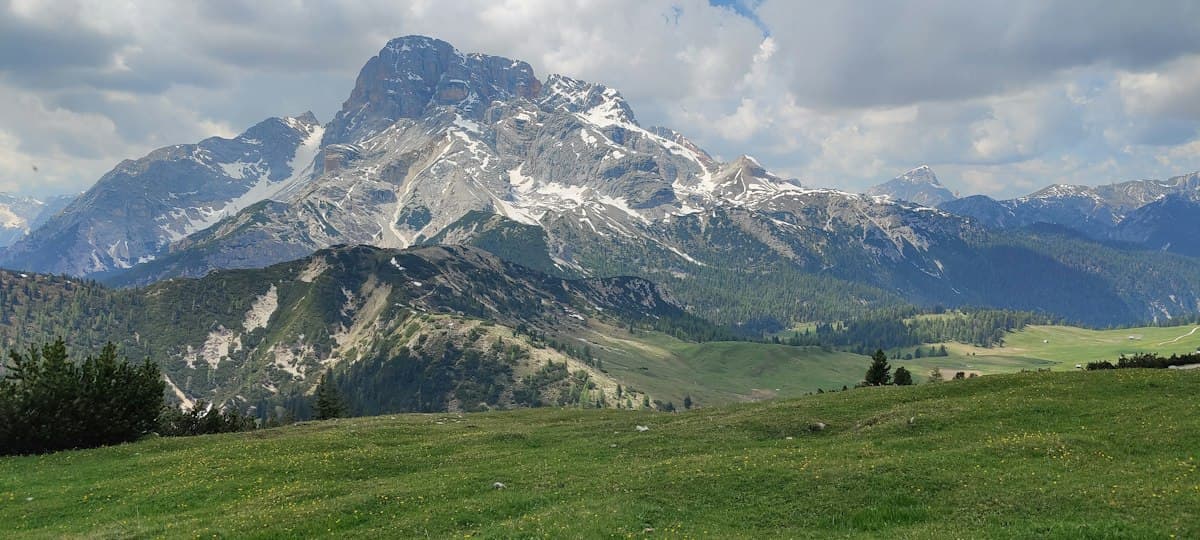
Itinerary: Tour of the Dévoluy in 3 Days
Hiking the full circuit of the Dévoluy massif in three days: stages, refuges, elevation profiles, and everything you need to know about water in this dry limestone range.
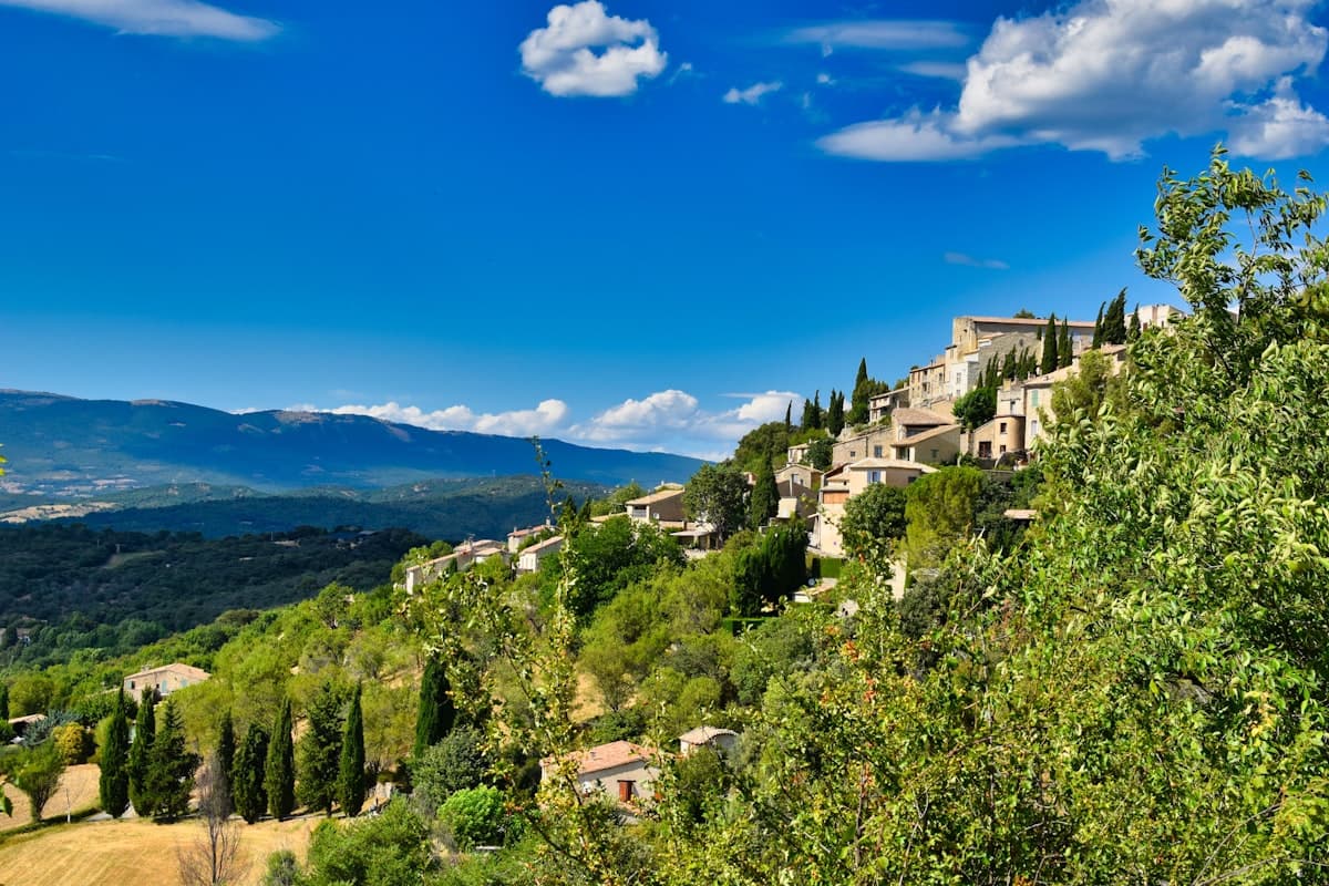
Detailed Itinerary: Crossing the Luberon in 3 Days
Set out to conquer the Luberon in 3 days of hiking: from Bonnieux to the Mourre Nègre summit, passing through cedar forests and ancient plague walls. Stage breakdown, accommodation tips, elevation profiles and practical advice for completing this iconic crossing of the Luberon Regional Natural Park.
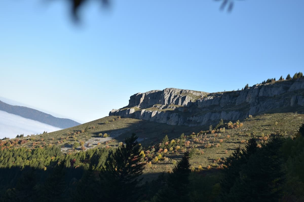
Itinerary: Crossing the Vercors in 4 Days
Crossing the Vercors in four days: stages, elevation profiles, refuges and mountain huts, rare water sources and GPX tracks for each day. A complete guide to the Hauts Plateaux traverse on the GR91.