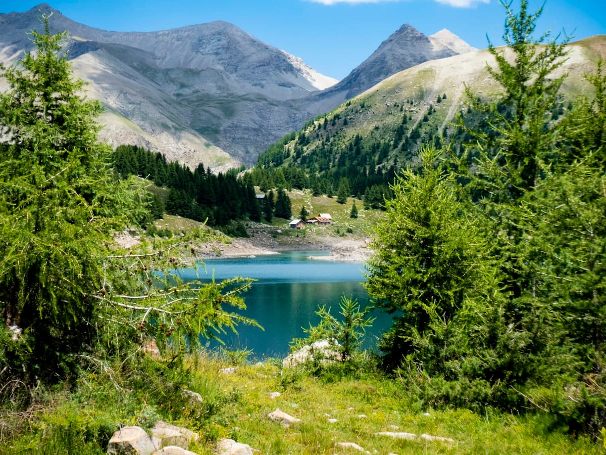
The Mercantour trails: 10 wild hikes
The Mercantour National Park is one of the best-kept secrets of the French mountains. Wedged between the Alpes-Maritimes and the Italian border, this 68,500-hectare territory harbours landscapes of rare, raw beauty: turquoise glacial lakes perched above 2,000 metres, larch forests that explode into gold in autumn, and summits topping 3,000 metres capped with snow for much of the year. And just a few dozen kilometres away, the Mediterranean already glitters below.
The Mercantour is also home to one of the richest biodiversities in Europe: wolves returned here in the 1990s, lynx are spotted sporadically, golden eagles nest on the high ridges, and the flora counts over 2,000 species including many endemics. The Vallée des Merveilles, with its 40,000 Bronze Age rock engravings, adds a unique archaeological dimension to this already extraordinary place.
Here are our picks for 10 wild hikes to explore this alpine gem.
1. Lac de Vens — the iconic loop
Distance: 17.4 km | Elevation: +956 m | Level: Intermediate | Duration: 6h
The Lac de Vens is one of the most beautiful high-altitude lakes in the Alpes-Maritimes. This loop through the Mercantour National Park climbs steadily from the Tinée valley up to a glacial basin where several lakes sit one after another in a spectacular mineral setting. In July and August, rhododendrons and narcissi carpet the hillsides.
The ascent via the Braïsse valley is steady and well-marked. At the top of the pass, the view opens simultaneously onto the Lac de Vens and the Italian summits — a reward well worth the effort. Bring good waterproof mountain hiking boots: the rocky terrain and late snow patches demand solid ankle support.
The highlight: the Vens lake complex, where several emerald-tinted pools nestle in glacial hollows surrounded by scree.
2. From the Valasco plain to the lower Valscura lake
Distance: 18.4 km | Elevation: +963 m | Level: Intermediate | Duration: 6h30
Starting from Saint-Martin-Vésubie, this circuit explores one of the most beautiful areas of the Mercantour: the Valasco plain, a vast glacially formed green combe, and the Valscura lakes that rise above it. The trail climbs through larch forests before reaching high-altitude pastures where sheep still graze in summer.
The lower Valscura lake is a deep blue, surrounded by glacially polished rocks and remarkable high-altitude wildlife — chamois are often visible on the ledges above. For this long day out, a 35-litre backpack with hydration bladder is ideal for carrying water, food and an extra layer.
The highlight: the Valasco plain at sunrise, when the grasslands are still dew-covered and the first rays light up the snowcapped peaks.
3. Lago Malinvern and the Lacs de la Paur
Distance: 19.9 km | Elevation: +1,585 m | Level: Strenuous | Duration: 8h
This is one of the most demanding hikes in the Mercantour. This cross-border circuit climbs to the Lago Malinvern on the Italian side before crossing the Lacs de la Paur through a high-mountain mineral landscape. The 1,585-metre elevation gain makes this a serious outing, suitable only for experienced hikers with proper gear.
The scenery changes dramatically from one side of the ridge to the other: the Mediterranean vegetation of the valleys gives way to a world of rock, ice and water as altitude increases. Telescopic trekking poles are strongly recommended for the long descents on scree.
The highlight: the panorama from the border ridge, with Lago Malinvern on the Piedmont side and the French lakes on the Mercantour side — two alpine worlds face to face.
4. Cima Ghiliè and Refuge Remondino — loop above Vinadio
Distance: 17.6 km | Elevation: +1,477 m | Level: Strenuous | Duration: 7h
This Italian-side loop, accessible from the upper Stura valley, climbs to the Cima Ghiliè and the Refuge Remondino — two exceptional viewpoints over the entire Franco-Italian massif. The border between France and Italy is porous here: trails cross freely between both sides, Italian mountain huts warmly welcome French hikers, and camping at altitude is legal on the Piedmont side.
The Remondino refuge, open June to September, serves generous mountain cuisine — an ideal stop for splitting this hike into two days with a night at altitude. To protect yourself from the intense sun above 2,500 metres, don't forget a high-protection SPF 50+ mountain sunscreen.
The highlight: the panoramic views from the Cima Ghiliè over the Italian valleys and the crumpled relief of the Maritime Alps.
5. Loop to the Rifugio Migliorero
Distance: 17.4 km | Elevation: +1,218 m | Level: Intermediate-Strenuous | Duration: 6h30
The Rifugio Migliorero is an Italian mountain hut perched above the Col de Larche (Col della Maddalena), at the junction between the Alpes-de-Haute-Provence and the Piedmont Alps. This loop offers an immersive high-valley experience: flower-filled alpine meadows in July, snowmelt lakes, jagged ridges and vertiginous views over the Po plain on clear days.
The route crosses a lightly marked sector where map-reading and GPS use are recommended. Download the GPX track from OpenRando before setting out and bring a GPS hiking device with topographic maps.
The highlight: arriving at the Rifugio Migliorero, where the wardens serve creamy polenta and hot coffee — a true luxury after six hours on the mountain.
6. Cime du Diable from La Bollène-Vésubie
Distance: 19.6 km | Elevation: +1,208 m | Level: Strenuous | Duration: 7h
La Bollène-Vésubie is one of the best-positioned villages for accessing the core zone of the National Park. This loop climbs to the Fort de la Redoute — an abandoned 19th-century military fortification perched on a strategic ridge — then continues to the Cime du Diable (Devil's Peak), a commanding viewpoint over the entire Vésubie valley.
The peak's name is deceptive: there is nothing diabolical about this hike, except the beauty of the landscapes and the fatigue in your legs on the descent. Views over Nice and the Mediterranean on clear days are staggering — a reminder that the sea is just 50 kilometres away.
The highlight: the Fort de la Redoute, a romantically ruined military structure lost in the mountains, and the panoramic view over the Vésubie valley from the Cime du Diable.
7. Ischiator valley to the Trois Lacs
Distance: 18.0 km | Elevation: +1,349 m | Level: Strenuous | Duration: 7h
This wild hike ventures into the Ischiator valley, one of the most pristine lateral valleys of the Mercantour. The trail climbs gradually through larch and alder forest before reaching one lake and then two more, nestled in a granite cirque of absolute serenity.
Foot traffic here is light compared to the park's main routes, and you have every chance of sharing these lakes only with chamois and marmots. This is also one of the sectors where wolves are regularly observed — keep a respectful distance if you spot one.
The highlight: the three lakes of the Ischiator valley, stacked like mirrors in a glacial cirque — a rare alpine solitude at this time of year.
8. The Vallée des Merveilles — Bronze Age rock engravings
Distance: ~16 km | Elevation: +950 m | Level: Intermediate | Duration: 6h
No guide to the Mercantour would be complete without the Vallée des Merveilles. A protected core zone of the National Park, it contains over 40,000 Bronze Age rock engravings dating from 2,000 to 1,800 BC — one of the largest concentrations of petroglyphs in Europe. Depictions of bulls, anthropomorphic figures and corniform shapes are carved across the polished rocks of Mont Bégo.
Access is from Casterino or Saint-Dalmas-de-Tende, with a climb through forest before reaching the plateau. A National Park-approved guide is recommended for interpreting the engravings. Explore trails around the Vallée des Merveilles.
The highlight: the bull engravings on the smooth rocks, 4,000 years old, in a high-mountain setting that has barely changed since.
9. Lac d'Allos — Europe's largest natural high-altitude lake
Distance: ~10 km | Elevation: +350 m | Level: Easy | Duration: 3h30
At 2,240 metres altitude, the Lac d'Allos is the largest natural high-altitude lake in Europe. Access from the Col d'Allos is relatively straightforward (only 350 metres of ascent), making it one of the most popular hikes in the Mercantour. But its beauty more than justifies the crowds: the deep-blue lake is ringed by the cliffs of the Grand Cheval de Bois, and its wild shoreline invites quiet contemplation.
Avoid August if you're seeking solitude, and opt for September when the larches begin to turn golden. Find trails around the Lac d'Allos.
The highlight: the reflections of the Grand Cheval de Bois on the lake's surface in calm weather — an alpine mirror of rare perfection.
10. Tour du Mont Bégo — the rooftop of the Alpes-Maritimes
Distance: ~22 km | Elevation: +1,400 m | Level: Expert | Duration: 8–9h
Mont Bégo (2,872 m) is the sacred summit of the Mercantour, venerated by Bronze Age peoples as a deity of thunder and storms. Its full circumambulation is a demanding all-day adventure, reserved for experienced mountain walkers. The route crosses several passes above 2,600 metres, skirts glacial lakes and delivers 360-degree panoramas over the Alpes-Maritimes and the Italian Ligurian Alps.
The descent through the Vallée des Merveilles allows you to see the rock engravings in the soft evening light — an unforgettable experience. Browse routes around Mont Bégo.
The highlight: reaching the Bégo ridge and seeing the French and Italian valleys spread out on either side simultaneously.
Practical guide to hiking in the Mercantour
Essential gear
High mountain terrain is unforgiving. For all these hikes, pack:
- Waterproof mountain hiking boots with Vibram soles — terrain is often rocky, wet and sometimes snowy
- A lightweight 3-layer waterproof jacket — altitude storms arrive without warning
- A warm mid-layer for breaks and cols (the temperature difference between valley and summit can exceed 15 °C)
- At least 2 litres of water or a filtration system — springs are plentiful but not always on the exact route
- An IGN Top 25 map or an app with offline tracks downloaded
National Park regulations
In the Mercantour's core zone, rules are strict: no wild camping except between 7 pm and 9 am and at least one hour's walk from roads and car parks; no fires; no picking plants; no dogs, even on a lead. These rules exist to preserve one of the most fragile alpine ecosystems in France.
Access and accommodation
Most hikes start from villages in the upper Vésubie (Saint-Martin-Vésubie, La Bollène-Vésubie, Belvédère), upper Tinée (Saint-Étienne-de-Tinée, Isola) or upper Roya (Tende, Saint-Dalmas-de-Tende). Staffed refuges are dotted along the routes — book well ahead in summer.
OpenRando in the Mercantour
Find all these hikes and many more on the OpenRando map, with downloadable GPX tracks, on-the-ground photos and reviews from fellow hikers. Filter by difficulty, distance or elevation gain to find the right outing for your day.
The Mercantour is the kind of place that changes hikers: you go in to see a beautiful lake and come back wanting to know every valley, every pass, every mountain hut. It is one of the few places in France where the mountains are still truly wild — where the silence of the ridges is broken only by the wind and the cry of a golden eagle.
Grab your trekking poles — the Mercantour is waiting.
As an Amazon Associate, we earn from qualifying purchases. Links marked with an external icon are affiliate links.
Related reading
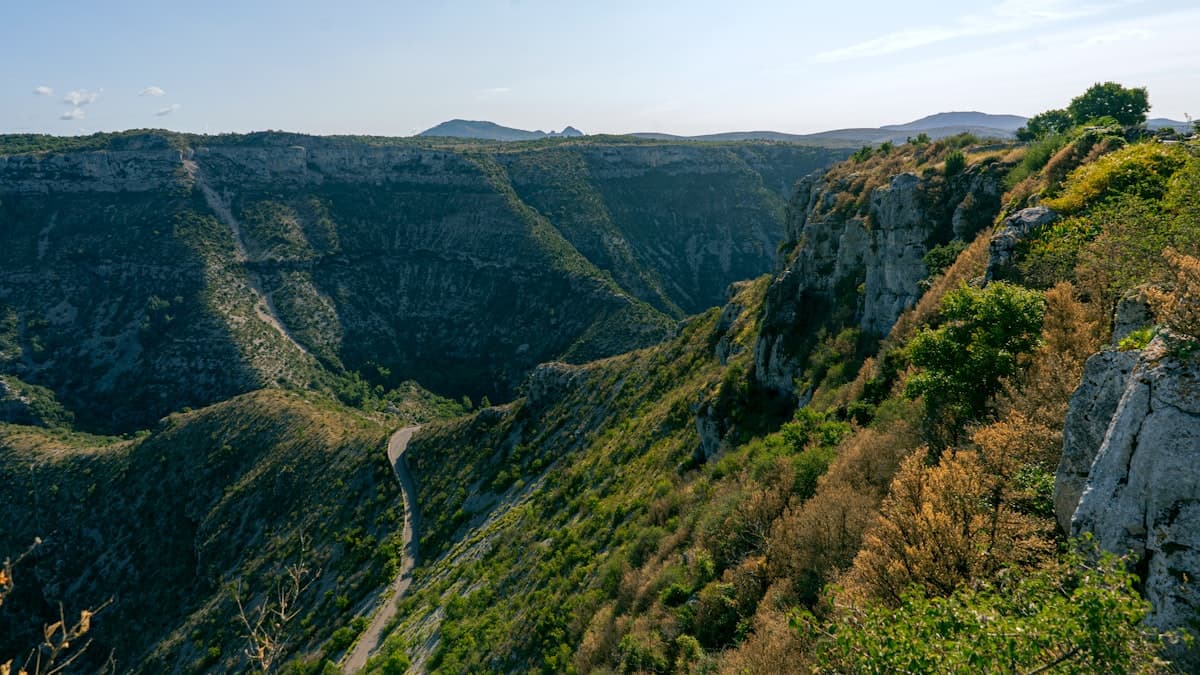
The 10 best hikes in the Cévennes
Discover the 10 best hikes in the Cévennes: wild gorges, schist villages, chestnut forests and sweeping views across the causses. Your complete guide.
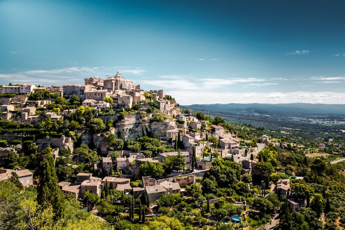
The 10 Most Beautiful Hikes in the Luberon
Discover our selection of the 10 most beautiful hikes in the Luberon: perched villages, wild gorges, cedar forests and stunning Provençal panoramas. Routes, tips and GPS tracks.
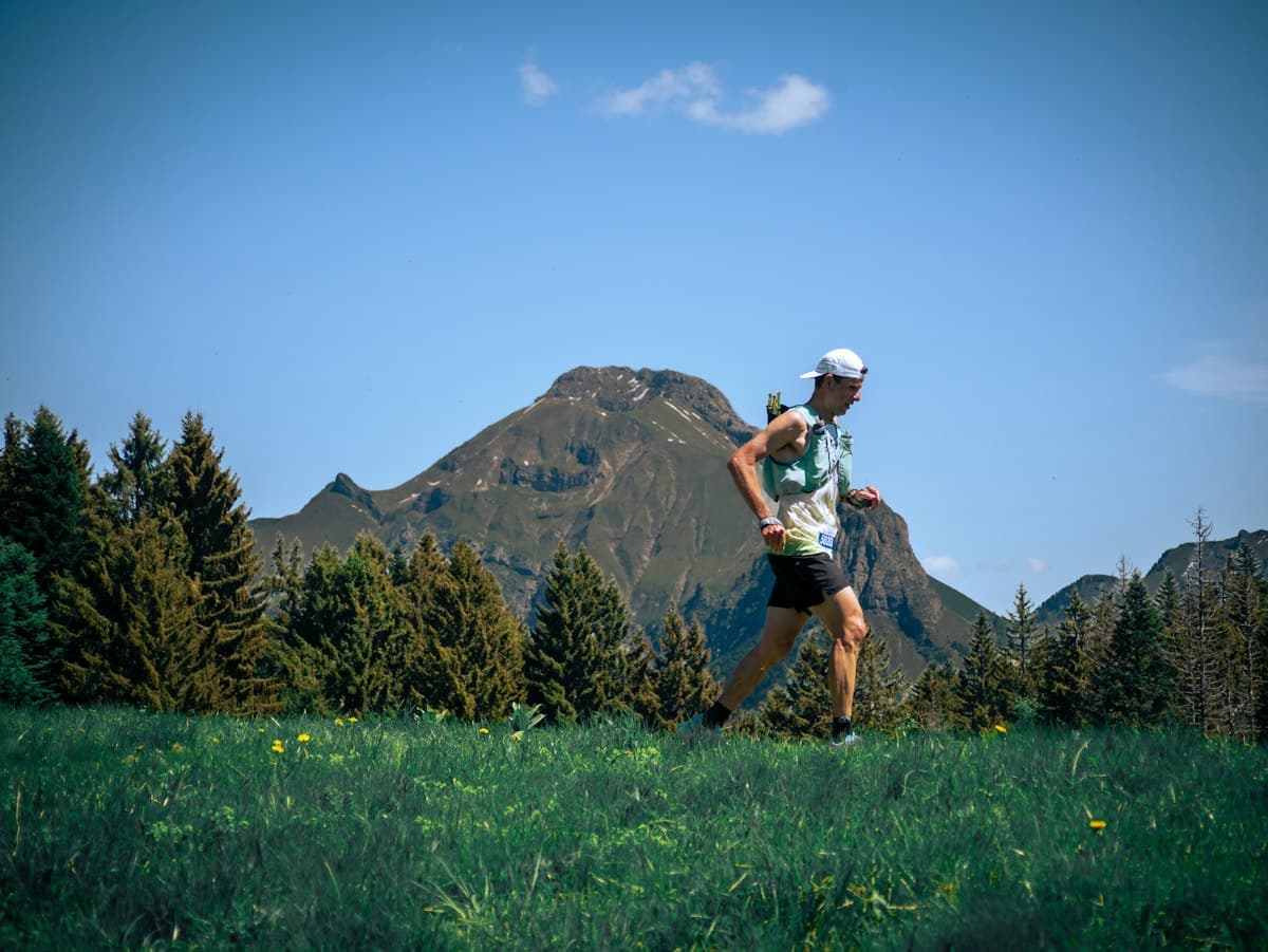
Summer in Review: The Most Hiked Trails on OpenRando
The ranking of the most hiked trails on OpenRando this summer: ten top-rated routes and what the numbers reveal about hiking habits.