Detailed Itinerary: Crossing the Luberon in 3 Days
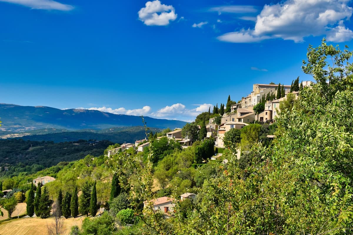
The Luberon is one of the most enchanting mountain ranges in southern France. Golden hilltop villages, oak and cedar forests, hidden gorges and sweeping panoramas across Provence — it offers exceptional terrain for hikers who want more than a simple day walk. The three-day traverse of the massif is a classic route that reveals the full diversity of this landscape. This is the itinerary.
About the Traverse
The Luberon traverse we propose links the northern and southern flanks of the massif via its highest point, Mourre Nègre (1,125 m / 3,691 ft). Over three days, you will cover approximately 45 to 50 km with around 2,200 m of cumulative elevation gain. The recommended level is intermediate to experienced: you should be comfortable with long distances and sustained climbs.
Start and finish: the traverse can be done in either direction, but we suggest an east-to-west route from the Claparèdes plateau (Bonnieux) toward Cabrières-d'Aigues, passing over the Mourre Nègre. This direction distributes elevation gain more evenly and passes through well-equipped villages.
Best season: April–May and September–October. In summer, temperatures on the ridges can exceed 35°C (95°F), the mistral wind can blow ferociously, and fire risk sometimes leads to trail closures. Check local prefectural orders before departing.
Day 1 — Bonnieux and the Cedar Forest (15 km, 500 m gain)
Starting point: Bonnieux (480 m)
The village of Bonnieux, perched on its rocky spur with medieval alleyways and sweeping views over the Luberon, is the ideal starting point. After a night in one of its gîtes or guest houses, load your pack with a good water reserve — springs are scarce.
The first day explores the Grand Luberon from the heights. From the village, the path climbs toward the Belvédère du Portalas, a spectacular viewpoint over the Luberon plain and the Alpilles chain. The Atlas cedar forest, planted in the 1860s, provides welcome shade and an almost alpine atmosphere.
Recommended route: the Cedar Forest Loop – Belvédère du Portalas from Bonnieux (15.5 km, 493 m gain) makes an excellent first day. Rather than completing the full loop, stop at Buoux for your first overnight.
Overnight at Buoux
The hamlet of Buoux is the perfect place to spend the first night. The Fort de Buoux, perched on limestone cliffs, is well worth exploring in the late afternoon. A handful of rustic, authentic guesthouses and a small hostel are available — book well ahead in high season.
What to bring for Day 1:
- 2 to 2.5 litres of water minimum (no springs on the plateau)
- Windproof jacket (the mistral can be fierce on the ridgeline)
- Waterproof hiking shoes — the forest can be damp in spring
Day 2 — Ascending the Mourre Nègre (17 km, 900 m gain)
This is the most physically demanding and most spectacular day of the journey. From Buoux, the path crosses the Aiguebrun Valley before the long climb to the Mourre Nègre begins.
The Falaise de la Madeleine and the Plague Wall
Before reaching the summit, several remarkable sites punctuate the route. The Falaise de la Madeleine (15.2 km, 407 m gain) offers vertiginous views over the Durance plain. Further along, the Mur de la Peste (Plague Wall) — an extraordinary dry-stone wall built in the 18th century to halt the spread of the plague — crosses the massif from north to south for more than 20 km. Following this plague wall is a historical experience as much as a physical one.
Mourre Nègre, the Rooftop of the Luberon
At 1,125 m, the Mourre Nègre is the highest point in the Luberon. On clear days, the view stretches from Mont Sainte-Victoire to the Alps, from Mont Ventoux to the Alpilles — one of the most sweeping panoramas in Provence.
Recommended route: the Mourre Nègre (1,125 m) Loop from Castellet-en-Luberon (14.1 km, 790 m gain) approaches the summit from the south face, the most direct line. From Buoux, expect a slightly longer variation.
Overnight at Castellet-en-Luberon or Apt
After descending, the villages of Castellet-en-Luberon or Apt (by shuttle or taxi from the southern slope) offer all the amenities for the night. Apt, the capital of the Luberon, has numerous restaurants, shops and accommodation options.
What to bring for Day 2:
- 3 litres of water (no reliable springs between Buoux and Mourre Nègre)
- Energy snacks: cereal bars, dried fruit, nuts
- Trekking poles — strongly recommended for the technical ascents and descents
Day 3 — Descent toward Cabrières-d'Aigues (16 km, 800 m gain)
The final day crosses the Petit Luberon with its gentler landscapes: olive groves, fragrant garrigue, honey-stone villages. This is the northern face of the massif, cooler and more wooded.
Views over the Luberon Valley
From Cabrières-d'Aigues, the trail follows the ridgeline with continuous views across the Luberon Valley. The Cabrières-d'Aigues – Mourre Nègre Loop (19.1 km, 904 m gain) is the most demanding stretch of this final day, but the one that offers the finest perspectives across the entire massif.
For hikers who prefer a shorter option, the Lovely Trail – Luberon Valley View from Buoux (14.7 km, 338 m gain) is a lower-elevation alternative with magnificent panoramas.
Arrival at Cabrières-d'Aigues
The village of Cabrières-d'Aigues marks the end of the traverse. Its quiet lanes, Renaissance castle and surrounding vineyards and olive groves make an idyllic setting to celebrate completing your adventure.
Practical Information
Getting There and Logistics
This traverse is point-to-point: arrange a vehicle at each end, or organise a return shuttle (taxi or car-sharing). Hiking shuttle services operate from Apt or Pertuis.
Start: Bonnieux is accessible from Apt (15 min by car) or Cavaillon (20 min). Free parking at the village entrance. End: Cabrières-d'Aigues, 25 min from Aix-en-Provence.
Accommodation Along the Route
| Stage | Options |
|---|---|
| Bonnieux (night 1) | Gîtes, guest houses, campsite |
| Buoux (night 1 alt.) | Youth hostel, rural gîte |
| Apt (night 2) | Hotels, gîtes, municipal campsite |
| Cabrières-d'Aigues (end) | Gîtes, guest houses |
Book well in advance from April to September — accommodation fills up quickly.
Water Resupply
Springs are scarce on the ridges. Always carry a minimum of 2 to 3 litres per day. Village stops (Bonnieux, Buoux, Apt) have public fountains for refilling.
Recommended Gear
- 35-litre hiking backpack for 3 days with guesthouse stays
- Hiking boots with grippy Vibram-type soles
- Ultralight packable windproof jacket for exposed ridges
- IGN Top 25 map n°3243OT (Pertuis – Luberon) or a GPS app with the GPX track loaded
Important Notes
- Wildfire risk: certain trails are closed in summer (June–September). Check the Vaucluse or Var Prefecture website before departure.
- Water: never count on springs being active — they may be dry in summer.
- Mobile coverage: patchy on the ridgeline. Share your itinerary with someone before you set off.
- Wildlife: the Luberon is home to wild boar, foxes and Bonelli's eagles. Walk quietly for the best wildlife spotting.
Variations and Extensions
If you have more time, several variants allow you to personalise the itinerary:
- 4-day version: add a stage through the Gorges d'Oppedette (northern slope) and split Day 2 into two shorter segments.
- Trail running version: experienced trail runners can cover the 3-day route in 2, running the more technical sections.
- GR92 extension: the GR92 long-distance trail continues to the Colorado Provençal near Rustrel — allow one additional day.
Explore Further
The Luberon is packed with single-day hikes for exploring the massif at your own pace. Our Explore page lists all referenced routes in the park, with filters by difficulty, elevation and duration.
For more Provence hiking weekend ideas, check our articles on the 10 most beautiful hikes in the Luberon or hiking in the Calanques.
As an Amazon Associate, we earn from qualifying purchases. Links marked with an external icon are affiliate links.
Related reading
Itinerary: The Queyras Tour in 5 Days
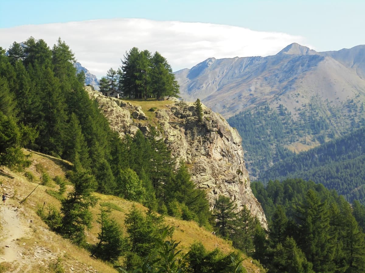
Discover the Queyras Regional Natural Park on a 5-day hiking tour: from Arvieux to Ristolas via Saint-Véran, high-altitude lakes and the Italian border passes. Stages, elevation, accommodation and tips for an unforgettable trek in the Hautes-Alpes.
Itinerary: Tour of the Dévoluy in 3 Days
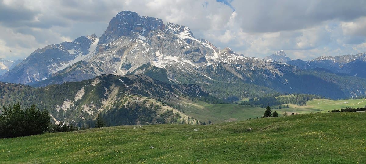
Hiking the full circuit of the Dévoluy massif in three days: stages, refuges, elevation profiles, and everything you need to know about water in this dry limestone range.
Itinerary: Crossing the Vercors in 4 Days
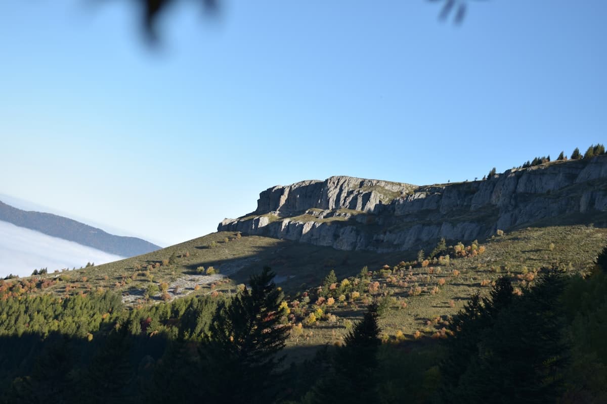
Crossing the Vercors in four days: stages, elevation profiles, refuges and mountain huts, rare water sources and GPX tracks for each day. A complete guide to the Hauts Plateaux traverse on the GR91.