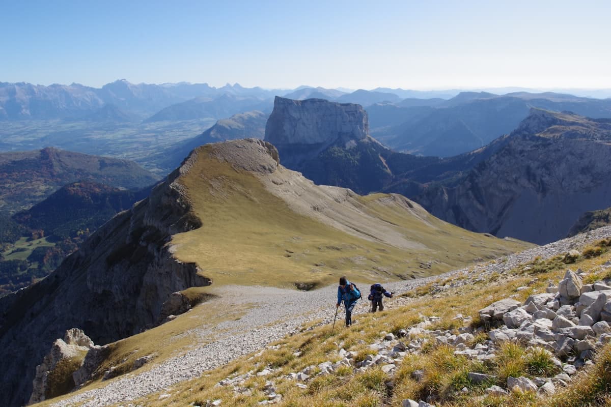
The Most Beautiful Hikes in the Vercors
The Vercors is one of the most captivating massifs in south-eastern France. With its wind-swept high plateaux, deep limestone gorges, dense conifer forests and sculpted summits like the legendary Mont Aiguille, the Vercors Regional Natural Park offers exceptional hiking for all levels. Two hours from Lyon, one hour from Grenoble and easily reachable from the Drôme valley, it is a must-visit destination from spring onwards.
Why Hike in the Vercors?
The Vercors mesmerises through its contrasts. Sheer limestone cliffs plunge down to cultivated plains, while the interior plateaux open onto near-alpine wilderness. The massif has been a Regional Natural Park since 1970 and shelters remarkable wildlife: griffon vultures, chamois, mouflon, lynx and even wolves roam these wild lands.
The geological richness of the Vercors reveals itself on every trail: karst formations, potholes, springs, decorated caves, natural arches… It is not uncommon to stumble upon a source bursting from the base of a cliff or to walk alongside ancient lapiaz limestone pavements.
From a historical perspective, the Vercors is deeply marked by the Resistance of 1944. The villages of Vassieux-en-Vercors and La Chapelle-en-Vercors bear the scars of a wartime tragedy, adding a poignant layer of memory to every walk in these hills.
The 8 Best Hikes in the Vercors
1. Col de la Machine and Combe Laval
The Col de la Machine is one of the absolute highlights of the Vercors. This old logging road, blasted into the cliff face in the early 20th century, runs along a vertiginous drop above Combe Laval. On foot, the loop from Saint-Laurent-en-Royans delivers breathtaking views over the Drôme plain, the Pre-Alps and, on clear days, deep into the Vercors interior.
Col de la Machine loop from Saint-Laurent-en-Royans — 16.9 km, 482 m elevation gain, intermediate level.
This is an accessible hike for most fit walkers and makes a perfect full-day outing. Bring a good insulated water bottle — water sources are scarce on this sun-exposed slope.
2. Choranche Caves and the Gournier Cirque
At the bottom of the Gorges de la Bourne, the Choranche caves rank among the finest natural cavities in France. The loop linking the Gournier Cave to the Coufin-Chevaline Cave starting from Presles is a demanding hike combining spectacular scenery, towering cliffs and natural wonders.
Gournier Cave – Coufin-Chevaline Cave loop from Presles — 17.3 km, 1,008 m elevation gain, experienced level.
The elevation gain is sustained, but the reward is proportional. The Gorges de la Bourne, hemmed in between 400-metre walls, provide a constant spectacle. Wear grippy waterproof hiking shoes — the damp paths at the bottom of the gorges can be slippery.
3. Fontaine de la Chau and the Coche Plateau
The Coche plateau, on the Drôme side of the Vercors, is one of the most peaceful and least-visited corners of the massif. Wooded with fir trees and dotted with dolines, it makes an ideal hike for families and walkers seeking tranquillity away from the crowds. The Fontaine de la Chau, a natural spring bursting from a cliff face, is a fascinating destination in itself.
La Coche – Fontaine de la Chau loop from Saint-Agnan-en-Vercors — 17.8 km, 350 m elevation gain, easy to intermediate level.
With its gentle elevation profile, this hike suits families or hikers looking to recharge without intense effort. Saint-Agnan-en-Vercors is an authentic village with a few gîtes and a small grocery shop for supplies.
4. Croix du Vellan and the Druise and Pissoire Waterfalls
Here is a hike that brings together everything the Vercors does best in a single route: a summit cross with a 360° panorama, two beautiful waterfalls and the heart of the Regional Natural Park. The Croix du Vellan (1,567 m) commands one of the most complete views over the massif.
Croix du Vellan – Druise and Pissoire Waterfalls loop in the Vercors NRP — 18.3 km, 644 m elevation gain, intermediate level.
The loop passes at the foot of both waterfalls, which are particularly impressive in spring as snowmelt swells the streams. Pack a lightweight packable waterproof jacket — the wooded sections near the falls can feel surprisingly fresh.
5. Pas des Écondus and the Pré Peyret Hut
The Chamaloc area, on the southern slope of the Vercors, is less visited than the more famous northern sites. The climb to the Pas des Écondus (around 1,800 m) offers magnificent views over the Drôme Valley and the Pre-Alps, while the Pré Peyret hut provides a peaceful rest stop deep in the plateau.
Pas des Écondus – Pré Peyret Hut loop from Chamaloc — 17.9 km, 663 m elevation gain, intermediate level.
This hike is best done on a weekday to make the most of the solitude on the plateau. The trail is well marked (GR93) but the forest sections require careful navigation.
6. Pas de la Clé and Refuge de Gève from Autrans
Autrans is one of the most convenient gateways to the northern Vercors, reachable from Grenoble in under 45 minutes. The Pas de la Clé is an iconic pass linking the inner plateau to the outer slope via an airy notch with sweeping views over the Isère plain and Grenoble.
Pas de la Clé – Refuge de Gève loop from Autrans — 17.0 km, 551 m elevation gain, intermediate level.
The unmanned Refuge de Gève offers a welcome break at the halfway point. This loop is particularly rewarding in spring or autumn, when the beech forests add a magical dimension to the landscape. Use telescopic trekking poles for the limestone descents.
7. Grand Veymont, Roof of the Vercors
At 2,341 metres, the Grand Veymont is the highest point of the massif. Its ascent from Saint-Agnan-en-Vercors via the Pas de la Ville is a Vercors classic, reserved for experienced hikers. The summit panorama is outstanding: Belledonne, Chartreuse, Mont Blanc on clear days, and in the foreground the unmistakeable silhouette of Mont Aiguille.
Pas de la Ville – Grand Veymont loop from Saint-Agnan-en-Vercors — 19.1 km, 949 m elevation gain, experienced level.
Important: the upper plateau is exposed to summer thunderstorms. Start early (before 8 am) to reach the summit before midday. Snow patches can linger on the eastern face until June — crampons or poles advised out of season. A well-packed 30-litre daypack (water, food, warm layers) is essential.
8. Mont Aiguille Views and the Pas de la Ville
Mont Aiguille (2,087 m) is arguably the most iconic summit in the Vercors — and in all the French Pre-Alps. This limestone tower with vertical walls, listed as one of the seven wonders of Dauphiné, is breathtaking from first sight. While its summit is reserved for technical climbers, the circuit that circles its base via the Pas de la Ville provides extended and majestic contemplation of this natural monument.
Mont Aiguille Views – Pas de la Ville loop from Saint-Agnan-en-Vercors — 19.8 km, 879 m elevation gain, experienced level.
This is the longest hike in our selection, but one of the most rewarding. The route follows the foot of Mont Aiguille's cliffs for several kilometres, with a permanent sense of verticality. Allow a full day and bring a UV-protection sun hat for this south-facing, highly exposed slope.
When to Hike in the Vercors?
| Season | Conditions | Recommendation |
|---|---|---|
| Spring (Apr–Jun) | Swollen waterfalls, wildflowers, snow patches at altitude | Ideal for low and mid-altitude hikes |
| Summer (Jul–Aug) | Moderate heat at altitude, afternoon thunderstorms | Start early, avoid ridges after noon |
| Autumn (Sep–Oct) | Beautiful colours, mild temperatures | Best season for long hikes |
| Winter (Nov–Mar) | Heavy snowfall, high-altitude trails closed | Snowshoes or ski touring |
Spring is particularly magical in the Vercors: the gorges echo with the sound of snowmelt torrents, wild orchids carpet forest clearings and griffon vultures soar high on thermal currents.
Equipment and Practical Advice
What to Bring
- Water: 2 to 3 litres per person — springs exist but are not always chemically reliable
- Waterproof mountain hiking boots — limestone terrain can be very slippery when wet
- Lightweight waterproof windproof jacket — storms build quickly at altitude
- IGN Top 25 map (3236OT Villard-de-Lans / 3137OT Die) or a GPS app with offline maps
- Phone charged with GPX track downloaded offline (patchy network on the plateaux)
Getting There and Accommodation
The Vercors is accessible from:
- Grenoble: northern gateway via Autrans, Villard-de-Lans (45 min)
- Valence: south-western gateway via Romans-sur-Isère and Saint-Laurent-en-Royans (45 min)
- Die: eastern gateway to the Drôme Vercors (30 min)
Gîtes d'étape (trail lodges) are plentiful in Autrans, Villard-de-Lans, Corrençon-en-Vercors and La Chapelle-en-Vercors. Book well in advance in July and August.
Park Regulations
In the Vercors Regional Natural Park, wild camping is tolerated (one night only, more than 200 m from marked trails and roads). Dogs must be kept on a leash in wildlife zones (indicated by signs). Wild harvesting is limited to personal consumption.
Discover More Vercors Hikes
Our Explore page lists hundreds of routes throughout the Vercors and surrounding areas, with filters by difficulty, elevation gain and duration. Whether you are looking for a gentle family walk on the plateau or a challenging summit push, you will find what you need.
For more hiking inspiration in south-eastern France, check out our articles on the Mercantour trails or the Luberon 3-day traverse.
As an Amazon Associate, we earn from qualifying purchases. Links marked with an external icon are affiliate links.
Related reading
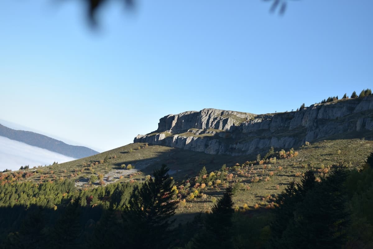
Itinerary: Crossing the Vercors in 4 Days
Crossing the Vercors in four days: stages, elevation profiles, refuges and mountain huts, rare water sources and GPX tracks for each day. A complete guide to the Hauts Plateaux traverse on the GR91.
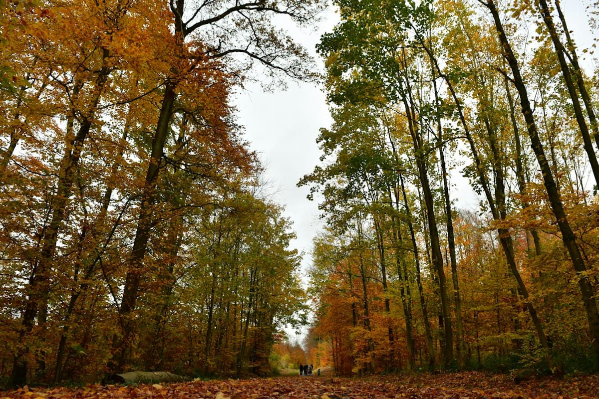
Hiking During Hunting Season: How to Stay Safe in Autumn
How to hike safely during hunting season in France: know the hunting dates by region, how to spot an active drive hunt, how to stay visible, and what to do if you encounter a battue.
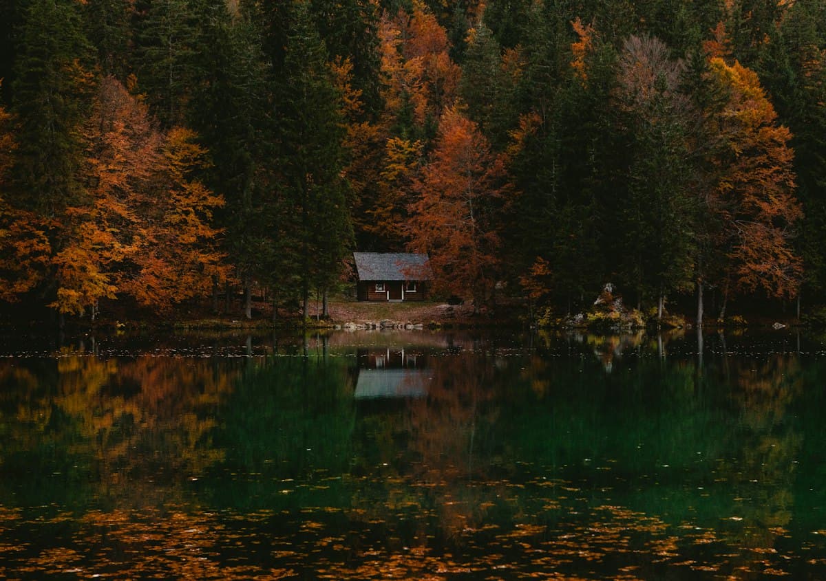
The Best Hikes in the Vosges Mountains
Eight hikes in the Vosges: summits, glacial lakes, highland meadows and ridge trails, through France's most spectacular autumn beech forests.