Mont Lozère on Foot: 6 Hikes to Discover the Roof of the Cévennes
Mont Lozère is an anomaly in the landscape of southern France. In a land of white limestone, sun-scorched garrigue and wind-swept plateaus, this massif raises its rounded black granite peaks like a continent apart. At 1,699 metres (the Finiels summit), it is the highest point of the Cévennes — and one of the most overlooked hiking destinations in France.
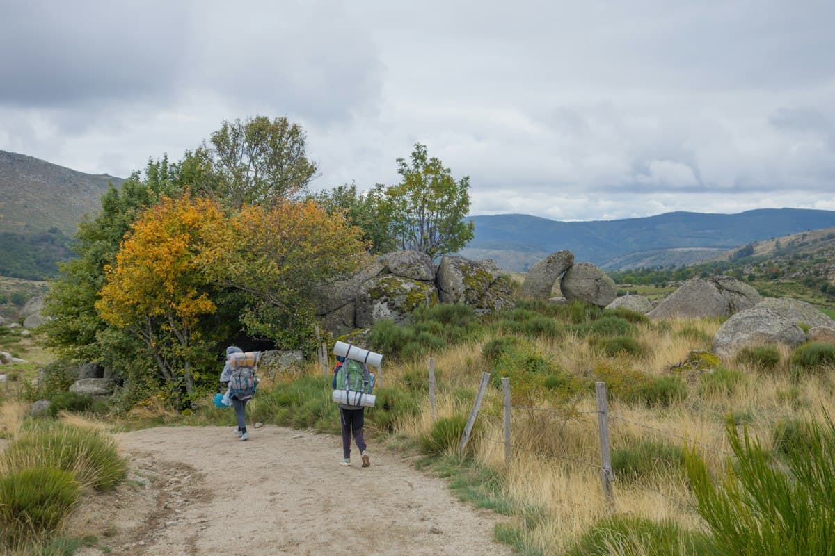
Heathland stretches to every horizon. Ancient transhumance paths — the drailles — carve pale lines across the moors. Stone hamlets built from the very rock of the massif appear suddenly in the hollows. And above it all, the wind blows with an authority that makes you feel very small.
It was here that Robert Louis Stevenson passed in September 1878 with his stubborn donkey Modestine during his twelve-day crossing of the Cévennes. His account, Travels with a Donkey in the Cévennes, remains one of the finest walking travel books ever written — and his route, now the GR 70 long-distance trail, still crosses the Mont Lozère massif in its most dramatic section.
Unlike its limestone neighbours — the Méjean, Noir and Sauveterre causse plateaus — Mont Lozère offers an entirely different landscape: high-altitude bogs, heather moors, granite tor fields and open ridgelines where the eye travels for a hundred kilometres on a clear day.
Here are six hikes to explore this exceptional massif, from wind-blown summits to quiet hamlets sunk in glacial combes.
1. The Finiels Summit from Le Bleymard
Distance: 13 km | Elevation gain: +580 m | Level: Intermediate | Duration: 4h30
This is the classic route, leading directly to the highest point in the southern Massif Central. From the village of Le Bleymard (1,078 m), the trail climbs steadily through heather moorland, following fences of the summer pastures before reaching the broad summit plateau. The ascent has no technical difficulties, but the altitude makes itself felt: the air is sharp, the wind constant, and clouds sometimes cling to the ridge.
At the Finiels summit (1,699 m), a 360-degree panorama opens up. To the north, the Massif Central rolls towards the Margeride mountains; to the south, the Cévennes plunge towards the Mediterranean, sometimes visible on the clearest days; to the east, the Ventoux and the distant Alps appear during foehn conditions.
The descent takes the eastern slope via the Finiels cross and the Peschio sheepfolds, looping back to Le Bleymard on a different path. This circuit suits any fit hiker — just make sure you wear waterproof ankle-support hiking boots, as the paths stay damp even in summer.
2. The Margeride Draille
Distance: 18 km (linear, shuttle required) | Elevation gain: +450 m | Level: Intermediate | Duration: 6h
The drailles are the ancient transhumance roads that shepherds used for centuries to lead their flocks from the Languedoc plains up to the Mont Lozère summer pastures. Wide, grassy and well-worn, these paths read the landscape like a book — every dip and ridge shaped by the annual movement of tens of thousands of sheep.
This linear walk follows the Margeride draille along its finest stretch, between Cubières and the Col de Finiels. The terrain is open and generous: vast moorland, sphagnum bogs where rare dragonfly species hover, and Aubrac cattle grazing freely at altitude. The raking light of early morning or evening transforms these spaces into something close to a Flemish landscape painting.
Medieval stone crosses punctuate the route, marking what was once a sacred road to Saint-Gilles-du-Gard. This walk suits photographers and those drawn to pastoral history. Pack a lightweight windproof jacket — the ridge is fully exposed to prevailing westerlies.
3. The Chaos of Nîmes-le-Vieux
Distance: 9 km | Elevation gain: +280 m | Level: Easy to Intermediate | Duration: 3h
On the boundary between Mont Lozère and the Causse Méjean, the site of Nîmes-le-Vieux is one of the most striking geological phenomena in the Cévennes. Hundreds of dolomitic and granite boulders, sculpted by erosion into anthropomorphic forms — columns, arches, giant heads — are heaped over several hectares like the ruins of a sunken city. The name itself was coined by local people who saw in this stone labyrinth the ghost of an ancient town.
The loop from Veygalier (a hamlet on the Causse Méjean) is short but unforgettable. The trail winds between the rocks, revealing a new perspective at every turn. Geologists will read the different strata of the massif's history: Lozérian granite, Caussenard dolomite, traces of Quaternary erosion.
For a longer day, continue to the Buffre belvedere overlooking the Jonte and Tarn gorges — one of the best spots in France for watching griffon vultures in flight, their 2.6-metre wingspans at eye level. Learn to read the geological landscape on your hikes and this site will reveal even more of its secrets.
4. In Stevenson's Footsteps — the GR 70 across Mont Lozère
Distance: 22 km (Le Bleymard–Florac stage) | Elevation gain: +400 m / -900 m | Level: Intermediate | Duration: 7h
In September 1878, Robert Louis Stevenson crossed these moors with his donkey Modestine, noting in his journal the absolute silence of the summits, the relentless wind, and stars visible to the naked eye as he had never seen them in Scotland. His account, Travels with a Donkey in the Cévennes, remains one of the founding texts of walking travel literature.
Today, the GR 70 faithfully traces his route from Le Puy-en-Velay to Alès. The stage that crosses Mont Lozère — between Le Bleymard and Florac — is the highest and most solitary stretch of the trail. After the climb to the Col de Finiels, the path drops into the Cévennes chestnut forests, follows mountain streams, and passes through schist hamlets like Pont-de-Montvert.
It's a long, committed day that demands good fitness and proper equipment. Lightweight carbon trekking poles will protect your knees on the long, steep descent to Florac.
5. The Granite Hamlet Circuit
Distance: 11 km | Elevation gain: +350 m | Level: Easy | Duration: 3h30
Mont Lozère is scattered with a dozen granite hamlets that seem to have been quarried from the massif itself. Grizac, Villeneuve-de-Ventalon, Lous Paysols, Le Mas de la Barque — these place names gather a few thick-walled farms, narrow windows and grey slate roofs. None counts more than fifty inhabitants; many shrank to near-abandonment during the rural exodus of the twentieth century.
This loop from Le Mas de la Barque (recommended starting point, with parking) links several of these hamlets by cobbled mule tracks. Dry-stone architecture is everywhere: boundary walls, cattle troughs, hay barns. Some farms have been converted into hiking gîtes — perfect for a multi-day traverse of the massif.
The route is accessible to families with children aged 7–8 and upwards, and well-suited to hiking with a dog. The open vegetation makes it easy to keep your animal in sight. Avoid the transhumance periods (June and October) when flocks are on the high pastures.
6. The North-Face Ascent — Bagnols-les-Bains to Finiels
Distance: 16 km | Elevation gain: +700 m | Level: Intermediate to Difficult | Duration: 5h30
Less frequented than the southern slopes, the north face of Mont Lozère offers a completely different atmosphere. From Bagnols-les-Bains, a thermal spa village nestled in the Lot valley, the trail climbs quickly through Scots pine and silver fir forest. The vegetation is denser, darker, and abundant springs create gorge-like ambiences unexpected at this altitude.
The ascent to the summit plateau breaks out suddenly into open moorland: in a few steps, you leave the shade of the forest for the raw, unfiltered light of the plateau, swept by wind. The contrast is striking. The abandoned sheepfolds of Le Mas de la Croix bear witness to an intense pastoral activity that ceased in the 1950s.
The descent follows the ridge path to Finiels, then a steep trail drops to the Bondons road. A shuttle or two cars are needed for this linear route, or take the seasonal bus back in low season. Carry enough water: springs become scarce on the plateau.
Recommended gear for Mont Lozère
Mont Lozère is an exposed high-altitude massif where conditions can change fast. The essentials:
- Waterproof high-top hiking boots — essential for the boggy terrain of the moors and heathland
- A 25–35 litre backpack with integrated rain cover
- A lightweight 3-layer waterproof jacket: afternoon convective storms build quickly at 1,600 m
- Carbon telescopic trekking poles for the north-face descents
- SPF 50+ sunscreen: UV exposure is extreme on the open moorland
- A filtering water bottle to make the most of the massif's springs
Going further
Mont Lozère sits at the heart of a larger world: the 10 best hikes in the Cévennes will take you further into the gorges of the Tarn, the Mont Aigoual and the Grands Causses. To understand why this massif looks so different from its limestone neighbours, dive into the basics of geological landscape reading for hikers — you'll never look at a ridge the same way again.
Mont Lozère is an invitation to slow down, to read rocks as archives and drailles as threads spun across centuries. Pick up your trekking poles — Lozère is waiting.
As an Amazon Associate, we earn from qualifying purchases. Links marked with an external icon are affiliate links.
Related reading
The 10 best hikes in the Cévennes
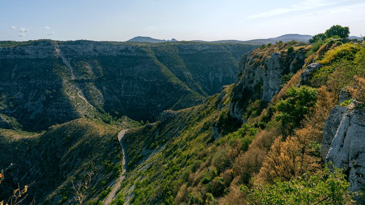
Discover the 10 best hikes in the Cévennes: wild gorges, schist villages, chestnut forests and sweeping views across the causses. Your complete guide.
Tarn Gorges in 3 Days: Rim Trails and River Bottom Hiking Itinerary
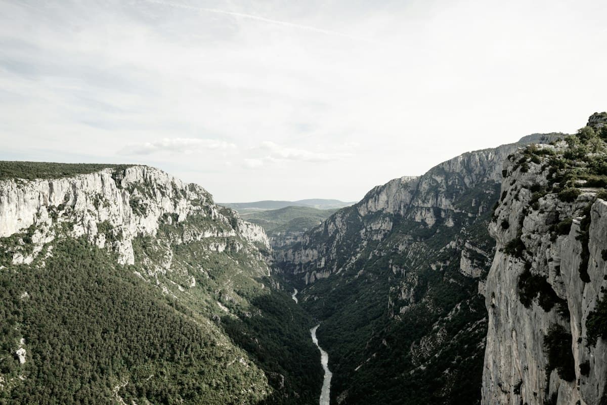
Hike the Tarn Gorges in three days: an itinerary alternating cliff-top rim trails and river bottom paths, with detailed stages, elevation profiles, swimming spots and practical tips.
Best Hikes in the Aubrac: Pastures, Burons and the Camino de Santiago
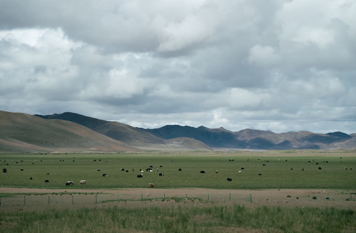
Seven hikes across the Aubrac plateau: mountain pastures, stone burons, waterfalls and sections of the Camino de Santiago between Aveyron and Lozère.