Best Hikes in the Aubrac: Pastures, Burons and the Camino de Santiago
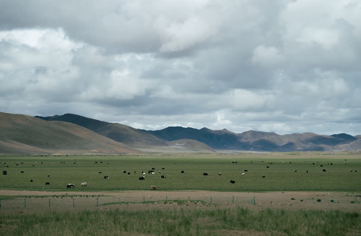
When people think of French high plateaus, the Aubrac often gets overlooked in favour of the Alps or the Verdon. That's a mistake. Here, the grandeur is horizontal. For 60 km from east to west, a gently rolling plateau sits at 1,200 metres altitude — an endless green tablecloth dotted with lakes, scattered with stone burons (old cheese-making huts), and crossed by the GR65, France's most-walked section of the Camino de Santiago.
Hiking the Aubrac means experiencing wind across short grass, weekday silence, and the bells of Aubrac cattle creating an ambient soundscape you won't find anywhere else. It's also a deeply underrated hiking destination — still uncrowded in peak season — making it an excellent choice for September.
The Aubrac: a plateau apart
The Aubrac plateau spans three departments: Aveyron, Lozère and Cantal. At 1,000–1,400 metres, it sits under an Atlantic mountain climate: mornings can be cold even in summer, afternoon storms build fast, and autumn fog rolls in without warning.
Geologically, the Aubrac is an ancient extinct volcano. Dark basalt rock gives the black stone walls of hamlets a unique patina. The estives — collective summer pastures leased to farmers — cover more than 80% of the land. The blonde Aubrac cattle with their black-ringed eyes are everywhere. Off marked paths the terrain can be tricky, but the burons serve as unmistakable landmarks.
For well-documented hikes across other French mountain ranges, browse OpenRando's Explore page.
The buron loop from Aubrac village
Difficulty: Easy | Distance: 12 km | Elevation: 250 m | Duration: 3h30
The village of Aubrac (commune of Saint-Chély-d'Aubrac, Aveyron) is the ideal starting point for discovering the plateau without getting lost. This loop circles the best-preserved burons in the area, skirting the state forest to the east before returning along the ridgeline.
Start from the car park beside the 12th-century Romanesque church. Head south on the GR65 for 2 km, then fork east towards the Cambrassatz buron. The track then passes Belvezet farm, one of the last to produce artisanal tome d'Aubrac cheese. Return via the ridgeline path for an unobstructed 360° view across the plateau.
The terrain is rolling but boggy after rain — pack a pair of lightweight trekking poles to stabilise wet sections.
The Déroc waterfall
Difficulty: Easy | Distance: 6 km | Elevation: 120 m | Duration: 1h45
The Déroc is the plateau's only true waterfall. Fed by the Bès river, it drops around 30 metres into a rocky cirque. Its appeal lies less in the height than in the setting: a dark basalt gorge, permanently damp, surrounded by ferns and rowan trees whose berries ripen red in September.
Start from the Brameloup car park (commune of Saint-Chély-d'Aubrac). Yellow-waymarked trail, well maintained. The final descent to the falls is steep over 200 m — watch your footing on wet basalt. The return path along the plateau rim offers a panorama over the Bès valley and the Lozère forests.
The GR65 from Nasbinals to Saint-Chély-d'Aubrac
Difficulty: Moderate | Distance: 15 km | Elevation: 450 m | Duration: 4h30
This stretch of the Camino de Santiago is arguably the finest in the Margeride-Aubrac section. It leaves Nasbinals (1,180 m), crosses the open high plateau, descends into the Dourdou de Marchastel valley, then climbs back to Saint-Chély via the Signalauze cross.
On weekdays outside July–August, you'll often pass fewer than four other walkers along the entire stage. The scallop shell waymarking is impeccable, making map-free navigation perfectly reasonable. The final descent to Saint-Chély (250 m of downhill over 3 km) puts pressure on the knees — a well-balanced 30-litre pack makes a real difference to your posture.
For the full pilgrim experience, stay at one of the Nasbinals gîtes d'étape the night before.
Bogs and altitude flora
Difficulty: Very easy | Distance: 5 km | Elevation: 80 m | Duration: 1h30
Between Nasbinals and Lac des Salces, an unfrequented wetland zone shelters rare altitude flora: sphagnum moss, cottongrass (those photogenic white tufts), and violet-flowered butterwort. In September, the cottongrass is still present if the summer wasn't too dry, and the bog grasses turn to gold and ochre.
The circuit follows a nature trail created by the Aubrac Regional Natural Park. The interpretation panels on the peatland are clear and well maintained. Lac des Salces at the end of the loop is an excellent picnic spot — cool water, grassy banks, virtually no other visitors.
Important: stay on the marked path. Off-trail, the peatbog can swallow your foot up to the knee.
The Mailhebiau summit
Difficulty: Moderate | Distance: 10 km | Elevation: 300 m | Duration: 3h
At 1,469 metres, the signal de Mailhebiau is the Aubrac's highest point. The summit is marked by a pylon — slightly anticlimactic — but the view is unmatched: on a clear day, you can see the Plomb du Cantal to the northwest, Mont Lozère to the southeast, and the Cévennes on the southern horizon.
Start from the hamlet of Lacalm in Aveyron. Steady ascent along a well-waymarked GR trail through cattle pasture and beech forest edge. Descent via the Lozère side to Pont de Gournier is possible if you have two vehicles.
The Truyère gorges
Difficulty: Strenuous | Distance: 18 km | Elevation: 600 m | Duration: 6h
The Truyère river has carved spectacular gorges to the east of the plateau, now partly submerged by the Grandval dam (Lac de Sarrans). The gorge trail follows the GR65 variant along an exposed ridgeline above the lake with dramatic drop-offs.
This is the most committing hike in this selection: broken terrain, little shade, scarce water in summer. In September temperatures are manageable, but carry at least 2 litres. A filtering water bottle lets you refill safely from the side streams.
When to go and where to stay
September is the prime window. The plateau empties after the summer holidays, trails return to their normal pace by 20 August, autumn wildflowers start to appear, and the cattle are still out on the pastures until the transhumance in October. Days remain long until mid-September (sunset around 20:15 in Aveyron).
October brings beautiful beech colours on the forest edges, but storms are frequent and some gîtes d'étape close from 1 October.
Accommodation
- Nasbinals has the greatest concentration of gîtes d'étape, chambres d'hôtes and pilgrim hostels.
- Saint-Chély-d'Aubrac has a small grocery shop and a café-restaurant open in season.
- Wild camping is possible on the plateau outside cultivated areas — check local prefectoral orders before setting up.
Getting there
The nearest station is Marvejols (Clermont–Paris line), 40 km away. By car: A75 motorway, exit 35 (Saint-Chély-d'Apcher, Lozère side) or exit 42 (Laissac, Aveyron side).
For more multi-day French hiking itineraries, see our guides on the 4-day Vercors traverse and hiking in September in the mountains.
As an Amazon Associate, we earn from qualifying purchases. Links marked with an external icon are affiliate links.
Related reading
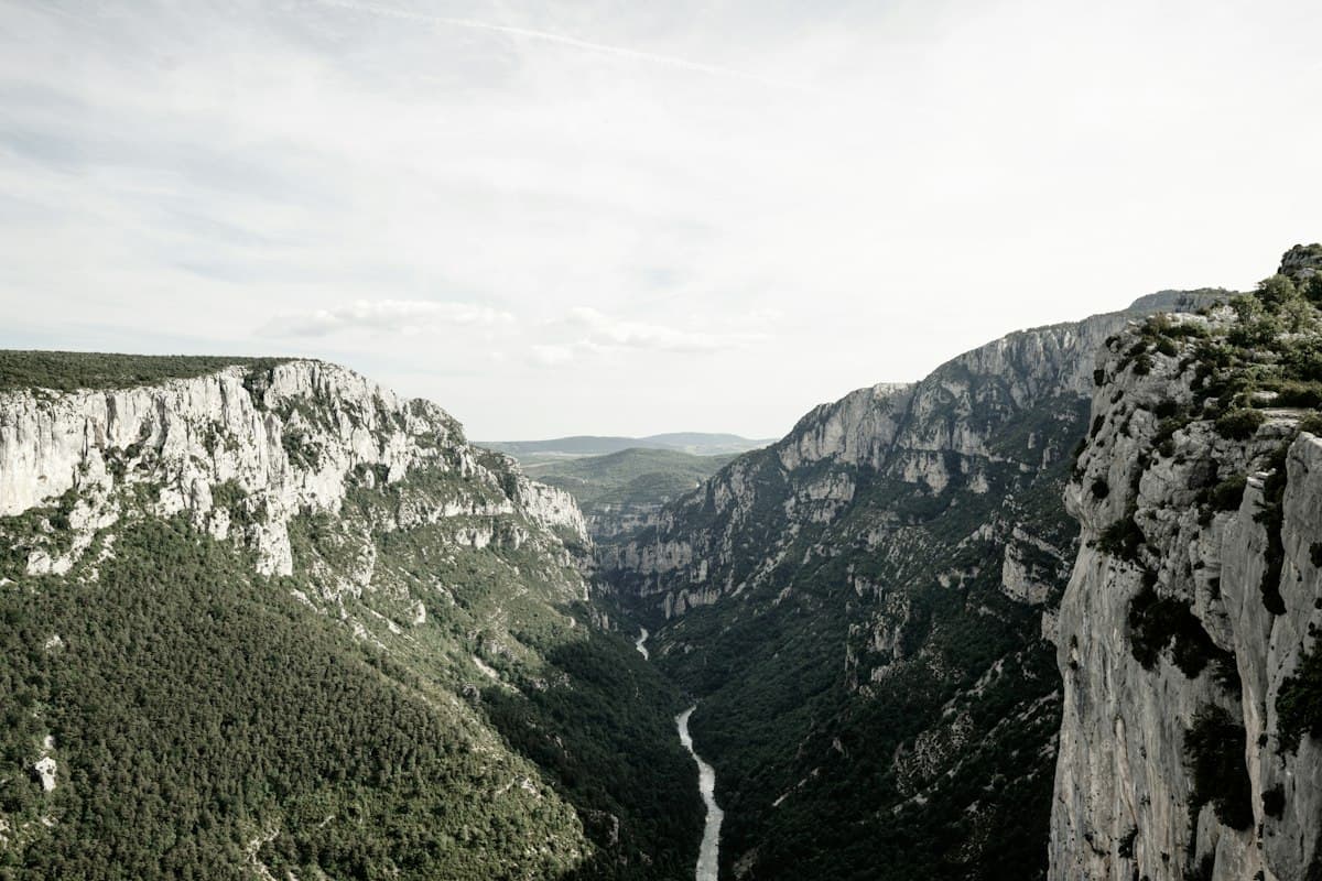
Tarn Gorges in 3 Days: Rim Trails and River Bottom Hiking Itinerary
Hike the Tarn Gorges in three days: an itinerary alternating cliff-top rim trails and river bottom paths, with detailed stages, elevation profiles, swimming spots and practical tips.
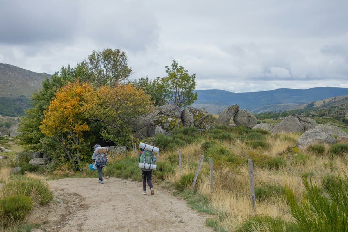
Mont Lozère on Foot: 6 Hikes to Discover the Roof of the Cévennes
Six hikes on Mont Lozère: Finiels summit, transhumance drailles, granite chaos and stone hamlets. The complete guide to the granite massif of the Cévennes.
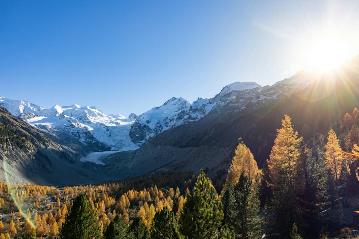
The Most Beautiful Hikes in the Queyras in Autumn
Seven hikes in the Queyras amid autumn colors: golden larches, high-altitude lakes and timber villages between 1,800 and 2,900 meters.