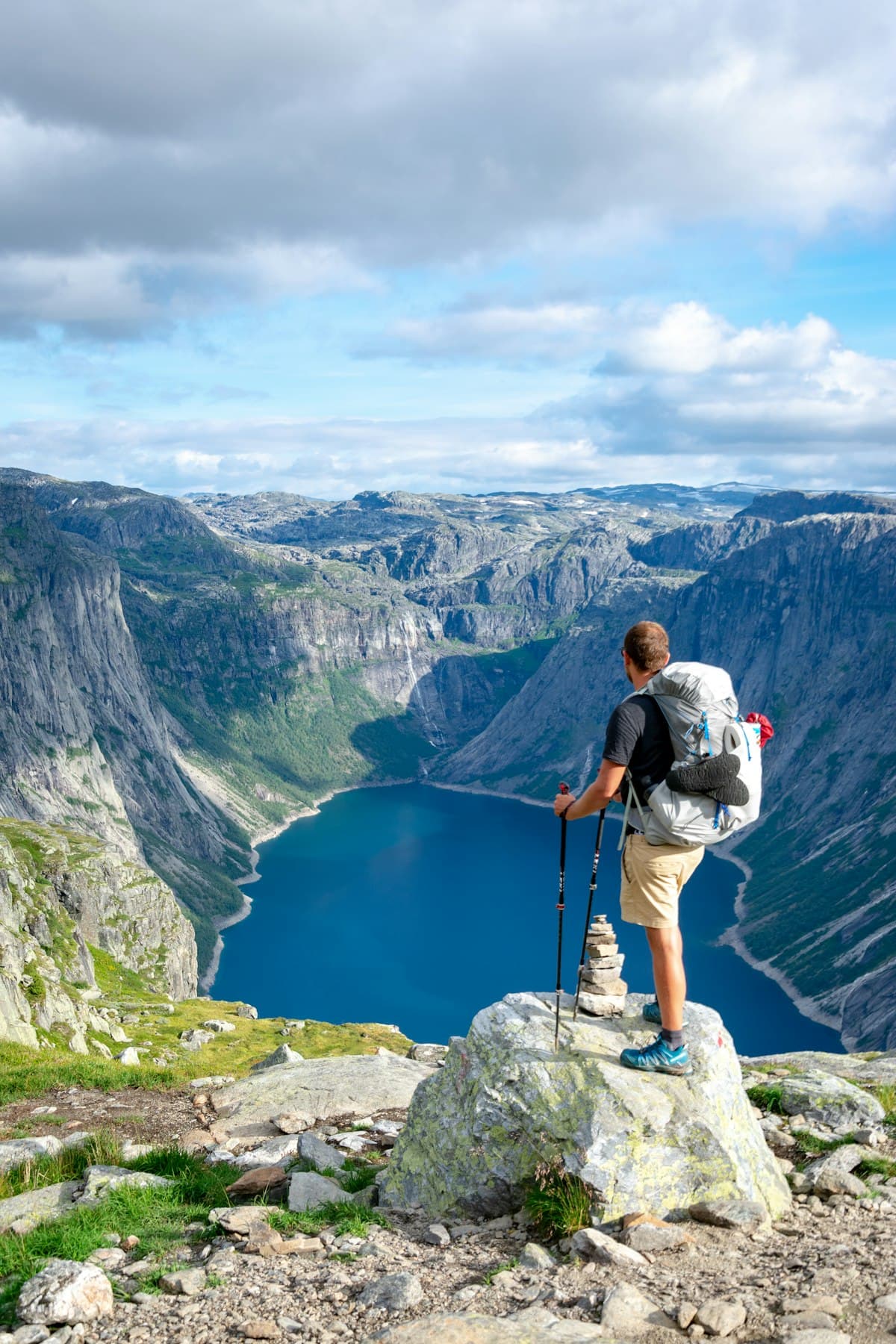
Geology While Hiking: Learning to Read the Landscape
A hike is not only an effort and a panorama: it is a journey through millions of years of Earth's history. Beneath your boots, every rock tells a chapter — an ancient seabed, a lava flow, the passage of a glacier. Learning to read these clues turns a simple walk into a reading of the landscape, where every cliff, every colour of soil and every valley takes on meaning.
You don't need to be a geologist. A few markers are enough to recognise the main rock families, understand the shape of the terrain and guess what happened there thousands of years ago. This guide gives you the keys to see the trails you walk in a new light.
Why Reading Geology Enriches Every Outing
Understanding the geology of a trail is not abstract knowledge: it concretely changes the way you see and hike.
- You anticipate the terrain: limestone ground is often dry and stony, granite ground sandier, clay ground slippery after rain.
- You find water: springs emerge where an impermeable layer (clay, marl) blocks the water seeping through the porous rock above.
- You understand the vegetation: flora changes radically between limestone soil (garrigue, holm oaks) and acidic granite soil (heather, chestnut trees).
- You read the relief: the shape of a valley or a ridge reveals erosion by water, ice or wind.
Geology is the invisible framework that explains everything else: the landscape, the plants, the water, and even the layout of the paths.
The Three Main Rock Families
All rocks fall into three main types, easy to tell apart in the field.
1. Sedimentary Rocks (the most common in France)
They form through the accumulation and compaction of sediments — at the bottom of ancient seas, lakes or deltas. Their signature: they are almost always arranged in layers (strata).
- Limestone: pale rock (white, grey, beige), often derived from seabeds. Forms the cliffs of the Calanques, Sainte-Victoire, the Verdon gorges. Dissolves in water, hence the caves and canyons.
- Sandstone: detrital rock made of cemented sand grains. Warm colours, sometimes rough surfaces.
- Marl and clay: soft, impermeable rocks that retain water and form gentle, often wooded slopes.
2. Igneous Rocks (born of fire)
They come from the cooling of magma, at depth or at the surface.
- Granite: pale, grainy rock in which crystals (quartz, feldspar, mica) can be seen with the naked eye. Cooled slowly at depth. Found in Corsica, the Mercantour, the Massif Central, the Vosges. Produces rounded reliefs ("boulders") and rocky chaos.
- Basalt: dark rock from lava flows cooled at the surface. Sometimes forms organ pipes (hexagonal columns), as in Auvergne or the Velay.
3. Metamorphic Rocks (transformed)
Former sedimentary or igneous rocks transformed by heat and pressure, at depth, during mountain building.
- Schist: foliated rock that splits into plates. Produces grey, shiny trails, as in the Cévennes or some Alpine valleys.
- Gneiss: banded rock, alternating light and dark layers. Common in the old Alpine massifs.
Reading the Relief: What the Shape of the Landscape Reveals
V-shaped or U-shaped valley?
This is one of the most telling clues:
- A V-shaped valley, narrow and steep-sided, was carved by a river cutting into the rock.
- A U-shaped valley, wide with a flat bottom and steep sides, was shaped by a glacier. The high valleys of the Écrins, the Vanoise or the Mercantour are perfect examples.
Folds and Faults
When you see tilted, wavy or broken strata, you are looking at the traces of mountain building. Plate movement folded once-horizontal seabeds until they stood vertical — spectacular in the Pre-Alps and the Vercors.
The Marks of Erosion
- Ochre and coloured earth: at Roussillon or Rustrel, the famous ochres come from iron-oxide-rich sands, shaped by weathering and erosion.
- Lapiaz (karren): these limestone surfaces chiselled with grooves are sculpted by the dissolution of rainwater.
- Moraines and erratic boulders: heaps of debris or isolated rocks left where the glacier abandoned them.
Recognising France's Major Geological Landscapes
| Landscape | Dominant rock | Where to see it |
|---|---|---|
| White cliffs, canyons | Limestone | Calanques, Verdon, Sainte-Victoire |
| Rounded reliefs, chaos | Granite | Corsica, Mercantour, Massif Central |
| Red and yellow earth | Ochre (ferruginous sands) | Roussillon, Rustrel (Luberon) |
| U-shaped valleys, high lakes | Various rocks, glacial shaping | Écrins, Vanoise, Pyrenees |
| Dark organ pipes | Basalt | Auvergne, Velay |
| Grey foliated trails | Schist | Cévennes, inner Alps |
Tools for Observing Geology in the Field
A few simple accessories are enough to go further:
- A field hand lens (10x) to distinguish the crystals of a granite or the fossils of a limestone.
- A pair of lightweight binoculars to read the strata and folds of cliffs from a distance.
- A field geology guide to identify rocks and reliefs as you go.
For maps, the BRGM (France's national geological survey) provides geological maps of the whole country through its InfoTerre portal: an excellent complement to your IGN map for understanding what you walk on. Learning to overlay the two readings — topography and geology — gives a complete view of the terrain.
Quick Field Glossary
- Stratum: a layer of sedimentary rock.
- Fold: deformation of layers under tectonic pressure.
- Fault: a fracture with displacement of two rock blocks.
- Lapiaz (karren): a limestone surface grooved by dissolution.
- Moraine: debris carried and deposited by a glacier.
- Erratic boulder: a large rock moved by a glacier, sometimes far from its source rock.
A Few Tips for Observing Without Damaging
Geology is to be observed, not collected. In national parks and reserves, gathering rocks, minerals and fossils is forbidden. Photograph, take notes, sketch — but leave the landscape intact for the walkers who follow you. That, too, is part of hiking responsibly.
Next time you set off on a trail, look up at the cliffs and down at your feet: the landscape becomes an open book. To extend this reading of nature, discover our other guides:
- Wildlife to Spot While Hiking in Provence
- Wildflowers of Provence: How to Recognise Them on the Trail
- How to Read an IGN Map for Hiking
- Discover Hiking Routes in Provence on OpenRando
As an Amazon Associate, we earn from qualifying purchases. Links marked with an external icon are affiliate links.
Related reading

How to Watch Wildlife Without Disturbing It: Best Practices
Watch mountain wildlife without disturbing it: flight distance, best times of day, wind positioning and sensitive periods to avoid.
Where to See the Most Beautiful Autumn Colours in France
The ten most beautiful French mountain ranges for hiking through autumn colours, with the optimal timing for each area.
Wildlife to Spot While Hiking in Provence
Mouflons, Bonelli's eagles, wild boar, ocellated lizards or cicadas: Provence shelters a rich, often discreet wildlife. Here's how and where to observe it on the trail — without disturbing it.