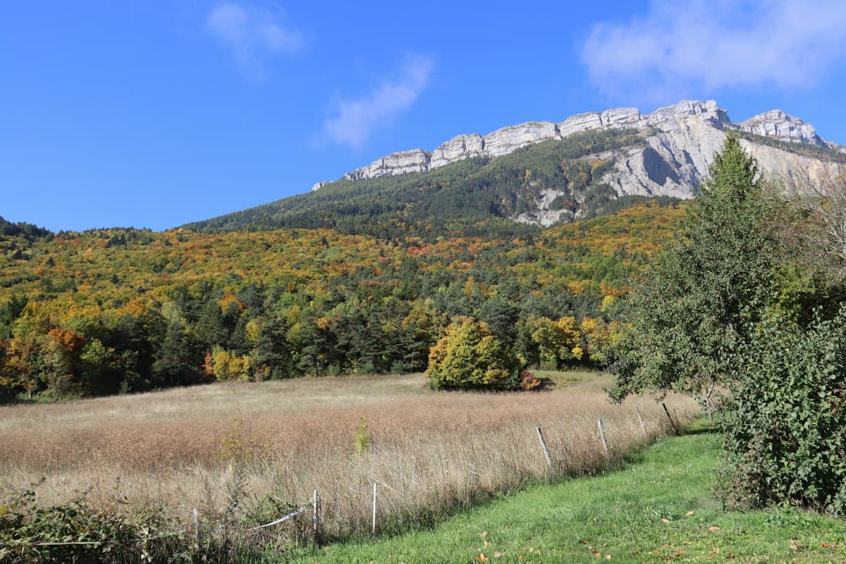
Hiking the Cantal Loop in 4 Days — Puy Mary, Plomb du Cantal and Volcanic Ridges
The Cantal massif is France's most underrated mountain range for what it truly is. Seventy kilometres in diameter, a base altitude of 1,000 metres and summits exceeding 1,800 m — Puy Mary, Plomb du Cantal, Peyre Arse, Font de Cère — all sitting on what was, ten million years ago, the largest stratovolcano in Europe. The Quaternary glaciations carved radial valleys into the eroded cone, cutting the ridges into sharp blades that hikers now traverse along the GR 400 trail.
This four-day loop is the most rewarding way to understand the relief from the inside. Each day ascends or descends one of these glacial valleys, crosses volcanic ridges and ends in a village or mountain shelter. The circuit is circular and starts from Le Lioran, accessible by train from Aurillac and Clermont-Ferrand — a rare advantage in mountain hiking.
Total distance: approximately 78 km Total elevation gain: 4,200 m Level: experienced hikers (some narrow exposed ridges) Recommended season: June to mid-October
Europe's Largest Volcano
The term "stratovolcano" conjures images of Etna or Vesuvius, not the Auvergne. Yet the Cantal would dwarf both in its original dimensions: geologists estimate the primitive cone reached 3,000 metres. What remains are the roots, stripped bare by glacial and river erosion over ten million years.
Looking out from the summit of Plomb du Cantal illustrates the structure perfectly: beneath you, valleys radiate outward in every direction — the Rhue valley to the north, the Truyère to the southwest, the Mars to the west, the Jordanne to the east. All carved by glaciers into the flanks of the volcanic cone. This is not a geographical accident; it is an architecture.
The rock composing the ridges is primarily trachyte, a viscous lava that formed the summit domes of the volcano. Lighter than basalt, it erodes into sharp arêtes and schistose couloirs — which is why the Cantal ridges have an alpine character despite their modest elevation. The passages between Peyre Arse and Puy Mary are genuine ridges requiring attention in strong winds.
For more on reading geological landscapes while hiking, our guide on understanding geology on the trail gives you the tools to interpret any volcanic massif.
Before You Leave: Logistics and Preparation
Getting to Le Lioran
Le Lioran station sits on the Aurillac–Issoire line (TER Auvergne-Rhône-Alpes regional rail). From Paris, allow 4h30 via Clermont-Ferrand. The station is right at the start of the route — no car needed.
By car from Aurillac: 40 km on the N122, free parking at the entrance to the ski resort.
Level and Equipment
This loop is designed for experienced hikers:
- No technical climbing, but exposed ridges in wind (Puy Mary, Peyre Arse)
- Long stages (16-22 km) with sustained elevation gain
- Altitude: between 800 and 1,855 m — weather can change rapidly
For footwear, the volcanic terrain combines wet grass, trachyte scree and muddy paths in the valleys: high-ankle waterproof boots are the best option for ankle support on the ridges and dry feet in the hollows.
Mountain weather in the Massif Central can shift dramatically in under an hour, especially in autumn. Always pack a lightweight waterproof and windproof jacket, even when you set off in sunshine.
Accommodation and Supplies
The route passes through four accommodation points:
- Le Lioran: gîtes, hotels, ski resort apartments
- Cabrespine or Mandailles: rural gîtes d'étape (booking essential)
- Dienne or Lugarde: village gîtes or farm auberges (limited capacity)
- Le Falgoux: Auberge du Falgoux (walker-friendly, good value)
Book everything before you set off. Accommodation is sparse along the route and there are no unstaffed refuges where you can improvise.
Day 1: Le Lioran → Plomb du Cantal → Cabrespine (22 km, +1,300 m)
The first day is the most spectacular. You head straight for the highest point of the Massif Central.
From Le Lioran station, follow the Font de Cère valley toward the cable car station. Don't take it: the GR 400 climbs to the right along a direct path through the high pastures. In 2h30, you reach the plateau leading to the Plomb du Cantal (1,855 m).
Plomb du Cantal (1,855 m)
The summit houses the only cable car in the massif — meaning you'll encounter some tourists in July-August. Out of season, total solitude. The panorama is exceptional in clear weather: you can make out the Puy-de-Dôme to the north, the Mézenc to the southeast, and on the most favourable days, the Pyrenees.
A permanent weather station occupies the summit, reflecting the scientific interest of the site: the Plomb is one of France's most wind-exposed measurement stations, with recorded gusts exceeding 100 km/h in winter.
Descend toward the Col de Curebourse (1,589 m) along the eastern ridges. The path is well-marked but narrows in places — warm gloves and rain gear in your pack. Continue down to Cabrespine (1,100 m) in the Rhue valley along 5 km of pasture descent.
This evening: the Cabrespine gîte serves dinner using local produce (tripoux, blonde lentils, Salers cheese). Book dinner when you reserve your bed.
Day 2: Toward Puy Mary via the Ridges (18 km, +1,100 m)
The second day is the most technically demanding. It follows the ridges westward toward Puy Mary via Peyre Arse.
From Cabrespine, climb back into the Rhue valley pastures. The GR 400 regains the ridges at Puy Bataillouse (1,791 m). Here the route turns west. To your left, the Rhue valley you left behind; to your right, the Mars valley falls toward Saint-Vincent-de-Salers.
The Peyre Arse Ridge
Peyre Arse (1,806 m) is one of the tour's defining moments. The ridge leading to it is narrow, exposed on both sides, and demands concentration in strong winds — common in autumn. No climbing involved, but you'll use your hands in a few spots. Children and hikers with uncertain footing should avoid this section in poor conditions.
The descent toward the Col de Cabre (1,722 m) is more straightforward. From here, Puy Mary becomes visible to the west, recognisable by its truncated pyramid silhouette.
Puy Mary (1,787 m)
Puy Mary is the Cantal's iconic summit — the one that appears on every photograph of the massif. Its popularity stems from its silhouette and its easy access from the Col du Pas de Peyrol (1,589 m), just 500 m away as the crow flies. Coming via the ridges, you'll approach from the opposite side, without the tourist coaches.
The climb from Col de Cabre takes 45 minutes. The view from the summit reveals the massif's radial architecture in complete clarity: six valleys open beneath you like the spokes of a wheel.
Descend toward Dienne or Lugarde via the northern pastures (GR 400, red-and-white waymarks), 6 km of steady descent on grassy track.
Day 3: The Jordanne Valley (16 km, +750 m)
The third day offers a welcome contrast to the first two. Less exposed, it crosses the most beautiful valley in the massif.
The Jordanne is a glacial river that descends from Puy Mary toward Aurillac, carving an enclosed valley bordered by rich meadows and beech forests. This is the pastoral heart of the Cantal: Salers cattle — the horned breed that gave its name to one of Auvergne's oldest cheeses — still graze here between May and October.
From your accommodation, descend to the valley floor at Mandailles-Saint-Julien (850 m). The GR 400 follows the Jordanne eastward for 8 km before climbing back onto the plateau via the Limon mountain.
This section requires the most careful navigation: waymarking is less frequent across the high pastures. Check your GPS track regularly. The high pasture views back over the massif you've traversed provide a good moment to take stock of the geography.
The evening stop at Le Falgoux (970 m), the last village before the ridges, allows you to rest before the final day.
Day 4: Return via Col de Cabre (22 km, +1,050 m)
The fourth day closes the loop with a final climb to Col de Cabre before the descent to Le Lioran.
From Le Falgoux, the GR 400 climbs the Mars valley eastward. You pass the Cirque du Falgoux, a glacial amphitheatre with 300-metre volcanic walls — one of the few places in the Cantal where you can appreciate the height of the cliffs. In summer, a waterfall drops from the cirque rim.
The climb to Col de Cabre (1,722 m) takes three hours from Le Falgoux. You return to the ridges and the views from Day 2, but from the other side. The panorama north toward the Chaîne des Puys and south toward the Pyrenees (on clear days) rewards the effort.
From the col, the descent toward Le Lioran along the eastern slopes of Plomb du Cantal is fast: 8 km on well-marked trail, with the Font de Cère valley — the one you climbed on Day 1 — visible ahead. The loop closes at Le Lioran station in the late afternoon.
Burons, Refuges and Resupply
A buron is the architectural signature of the Cantal: a low, vaulted stone building, originally used by cheesemakers who spent summers in the high pastures producing Salers and Cantal cheese. Hundreds remain scattered across the massif, most abandoned since the 1970s. A few have been converted into non-staffed shelters or agritourism guesthouses.
Along this tour, resupply points outside accommodation are rare:
- Le Lioran: year-round convenience store, seasonal bakery
- Mandailles-Saint-Julien: local grocery (limited hours)
- Le Falgoux: bar-grocery at the village (closed Mondays)
Water: springs are abundant at altitude thanks to the limited permeability of volcanic rocks. Village fountains are drinking water. In pasture areas, check for cattle upstream before filling your bottle.
Mobile coverage: good 4G signal on the ridges and in villages, patchy in valley bottoms.
Going Further
Hiking in Auvergne and around the volcanoes covers more itineraries in the region, from isolated puys on the plateau to the Truyère gorges, to extend your stay in the Massif Central.
On the geological side, if the Cantal has sparked an interest in reading landscapes differently, our guide on geology for hikers explains how to distinguish basalt, trachyte and granite by eye and interpret landforms in any mountain range.
Happy hiking in the Cantal mountains.
As an Amazon Associate, we earn from qualifying purchases. Links marked with an external icon are affiliate links.
Related reading
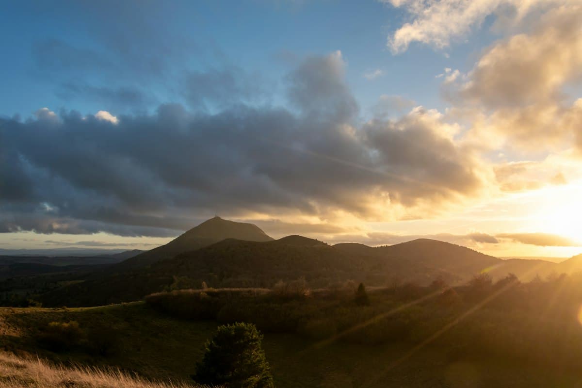
The Best Hikes in the Auvergne Volcanoes
Eight hikes through the volcanoes of Auvergne: the Chaîne des Puys, Sancy, Chaudefour valley and craters, with autumn colours at their peak.
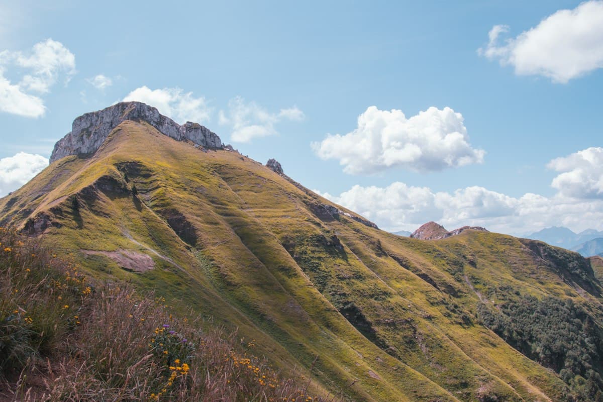
Trail Guide: The Mézenc Circuit in 2 Days
A two-day circuit of Mont Mézenc: volcanic domes, highland pastures, accommodation tips and GPX tracks between Haute-Loire and Ardèche.
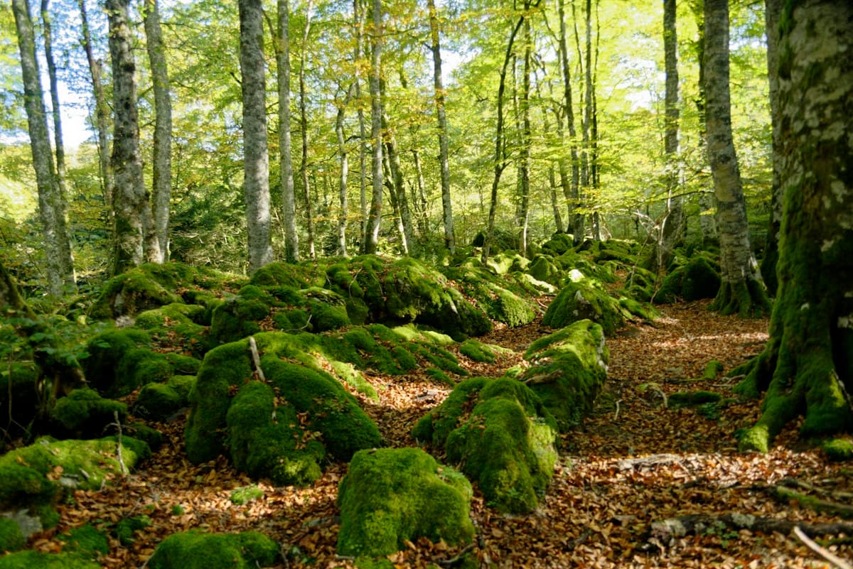
Itinerary: Sainte-Baume Massif in 2 Days
Two days on the Sainte-Baume massif: a glacial relic beech forest, Marie-Madeleine's cave, the ridgeline and Saint-Pilon summit, with practical tips for your stay.