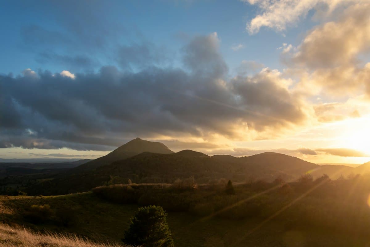
The Best Hikes in the Auvergne Volcanoes
Auvergne is home to one of France's most distinctive landscapes: a chain of extinct volcanoes whose rounded, open summits rise above the Massif Central plateau. Whether you hike the ridges of the Chaîne des Puys, summit the Plomb du Cantal or loop around a crater, every outing here is a geology lesson in the open air.
In autumn, beech forests drape the volcanic flanks in shades of amber and russet. Here are the essential hikes for exploring this UNESCO World Heritage site, one step at a time.
A Volcanic Landscape Listed by UNESCO
Since 2018, the Chaîne des Puys and the Limagne Fault have been inscribed on the UNESCO World Heritage List — a recognition of the geological significance of a territory that lines up more than eighty volcanic cones over 40 kilometres.
What makes this landscape so extraordinary is the variety of forms: symmetrical cones like the Puy de Dôme, excavated craters like the Puy de la Vache, solidified lava flows called cheires and crater lakes. Each shape reflects a different type of eruption — and a different era in the region's volcanic history.
The Parc naturel régional des Volcans d'Auvergne, the largest regional nature park in mainland France at 390,000 hectares, protects the entire area. Its marked trails wind through peatlands, highland pastoral landscapes and open ridges above 1,800 metres. In October, the ring of reddening beech forests around the puys rivals any autumn scenery in Europe. Our guide to autumn colours on hiking trails will help you plan the timing.
The Puy de Dôme via the Chemin des Muletiers
The Chemin des Muletiers is the historic route up the Puy de Dôme — the path by which local farmers once drove their animals to the summit, where a Roman temple dedicated to Mercury once stood. Today, it remains the most authentic way to reach the 1,465-metre crest of Auvergne's most iconic volcano.
The loop from the Panoramique des Dômes lower station covers 14.3 km with 625 m of elevation gain. It is rated expert — not for technical difficulty but for its length and exposure to wind, which is frequent and strong on this open ridge. On a clear day, the summit panorama extends to the Alps and Pyrenees.
Practical note: the Panoramique des Dômes cable car runs until late October and provides flexible options for combining the ascent or descent. Allow 2h30 on foot from the lower station car park.
The Puy de Sancy and Val de Courre
At 1,886 metres, the Puy de Sancy is the highest point in the Massif Central. Its ascent via the Val de Courre takes in one of the finest sequences of glacial cirques in France.
The loop from Mont-Dore covers 16.3 km and 924 m elevation gain — a demanding hike that requires good fitness and experience in mountain conditions. The Val de Courre is a hanging valley carved by Quaternary glaciers that shaped the flanks of the Sancy massif. In October, bracken turns copper on the slopes while the sources of the Dordogne river — which rises here — run with their autumn volume.
For a more aerial approach, the Sancy ridge circuit offers a 16.4 km loop (850 m D+) traversing the heights without dropping into the valleys. The section from the Puy de Sancy to the Puy de l'Angle provides unobstructed 360° views across the massif.
Tip: start early to avoid summit crowds and to catch the raking morning light across the craters.
The Chaudefour Valley
The Chaudefour nature reserve is one of the hidden gems of the Sancy massif. No motorised vehicles are permitted inside, giving it a rare tranquillity. Phonolite cliffs — a volcanic rock that rings like a bell when struck — frame a valley floor threaded by the Chaudefour stream.
The classic hike climbs from Chambon-sur-Lac to the Col de la Cabane (1,734 m) before descending through highland meadows. In autumn, broom yellows on the hillsides and the Salers cattle have long left the summer pastures, leaving tall grasses swaying in the wind.
Access note: the valley is reached by road from Murol or Chambon-sur-Lac. A small pay car park sits at the nature reserve entrance, a few hundred metres from the trailheads.
The Puy de la Vache and Puy de Lassolas
Around 8,500 years ago, two twin volcanoes erupted in the Limagne plain: the Puy de la Vache and the Puy de Lassolas. Their lava flow travelled 15 kilometres to the Allier river, creating the Cheire d'Aydat — a basalt lava field now covered by a pine forest.
The loop from Fontfreyde covers 16.4 km with just 398 m of elevation gain, making it one of the most accessible hikes on the Chaîne des Puys for this distance. The interior of the Puy de la Vache crater is perfectly preserved — roughly 20 metres deep — its flat floor contrasting starkly with the steep inner walls of the cone.
Route tip: ascend the Puy de Lassolas first (the northernmost one) to view the Puy de la Vache from a distance, then reverse direction for the final climb.
The Burons of the Cantal
To the west and south, the Monts du Cantal form the largest stratovolcano in Europe — its footprint covers a circle 60 kilometres in diameter. The landscape here is more open and pastoral, punctuated by burons: stone shelters with lauze-slate roofs where cheesemakers once produced Cantal and Salers during the summer transhumance.
The Plomb du Cantal loop from Saint-Jacques-des-Blats (16.4 km, 895 m D+) reaches the highest point of the Cantal massif at 1,855 metres. The ridges are often in cloud in autumn — check the forecast the evening before and carry waterproofs.
The Col de Redondet – Puy Chavaroche loop (16.5 km, 652 m D+) is gentler: it passes the Cabrespine buron, one of the best-restored in the region, and skirts meadows where Salers herds linger into late autumn.
Reading a Volcanic Landscape on Foot
Hiking in the Auvergne volcanoes means crossing millions of years of geological history in a few hours of walking. A few reading keys to get more from the scenery:
- Symmetrical cones (Puy de Dôme, Puy de la Vache) mark effusive eruptions, where low-viscosity lava flowed gently and preserved the cone shape.
- Maars (Lac Pavin, Lac d'Aydat) are craters formed by phreatomagmatic explosions — the violent contact between magma and a groundwater aquifer blasting material across square kilometres.
- Cheires — like the Cheire d'Aydat — are solidified basalt lava flows, rough and jagged, colonised over millennia by pine forest.
- Phonolites of the Chaudefour valley and the Bort organ-pipes are fine-grained, harder rocks that resisted erosion and form today's most dramatic cliff faces.
Our guide to reading geological landscapes while hiking goes deeper into these patterns with practical field references.
When to Go and How to Prepare
Autumn (mid-September to mid-November) is the finest season for hiking in Auvergne. Beech forests turn amber, the summer herds have left the pastures and the low autumn light accentuates every volcanic contour. Weekday crowds on the Puy de Dôme are minimal compared to summer peaks.
Above 1,500 metres, temperatures can drop to 5–8°C during the day in October. Pack accordingly:
- Waterproof hiking boots — autumn trails stay wet all day even without rain.
- A windproof shell and an insulating mid-layer for the exposed ridges.
- Poles: wet grass and basalt scree make descents slippery.
Getting there: the Auvergne volcanoes are 3h30 from Paris by car, or 2 hours by TGV to Clermont-Ferrand. A car is essential in autumn to reach trailheads beyond the summer bus network.
Recommended IGN maps: TOP 25 2432 OT (Massif du Sancy) and 2435 OT (Massif du Cantal).
As an Amazon Associate, we earn from qualifying purchases. Links marked with an external icon are affiliate links.
Related reading
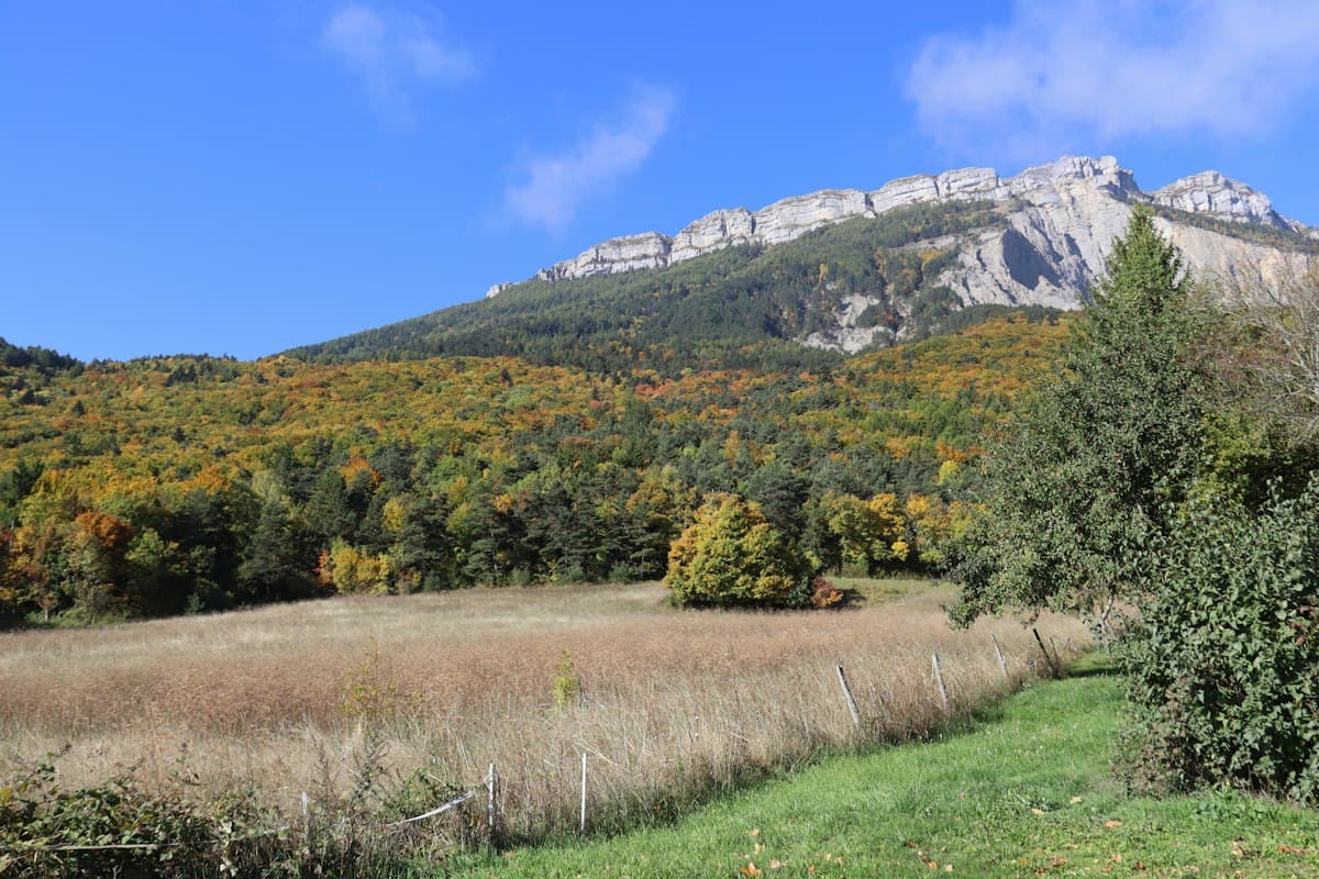
Hiking the Cantal Loop in 4 Days — Puy Mary, Plomb du Cantal and Volcanic Ridges
A four-day circular hike through the Cantal mountains: Puy Mary, Plomb du Cantal, burons and ridges of Europe's largest stratovolcano. Detailed stages, accommodation and practical advice.
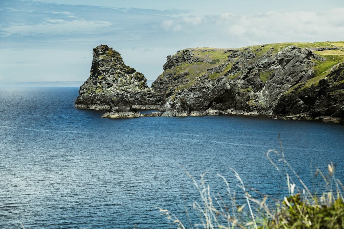
Off-Season Coastal Hikes in Brittany and Normandy
Eight coastal hikes in Brittany and Normandy off-season: GR34, Étretat cliffs, capes and headlands battered by autumn Atlantic storms.
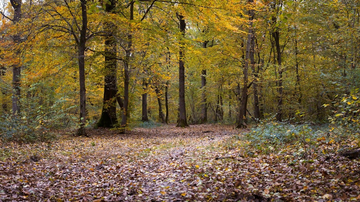
Where to See the Most Beautiful Autumn Colours in France
The ten most beautiful French mountain ranges for hiking through autumn colours, with the optimal timing for each area.