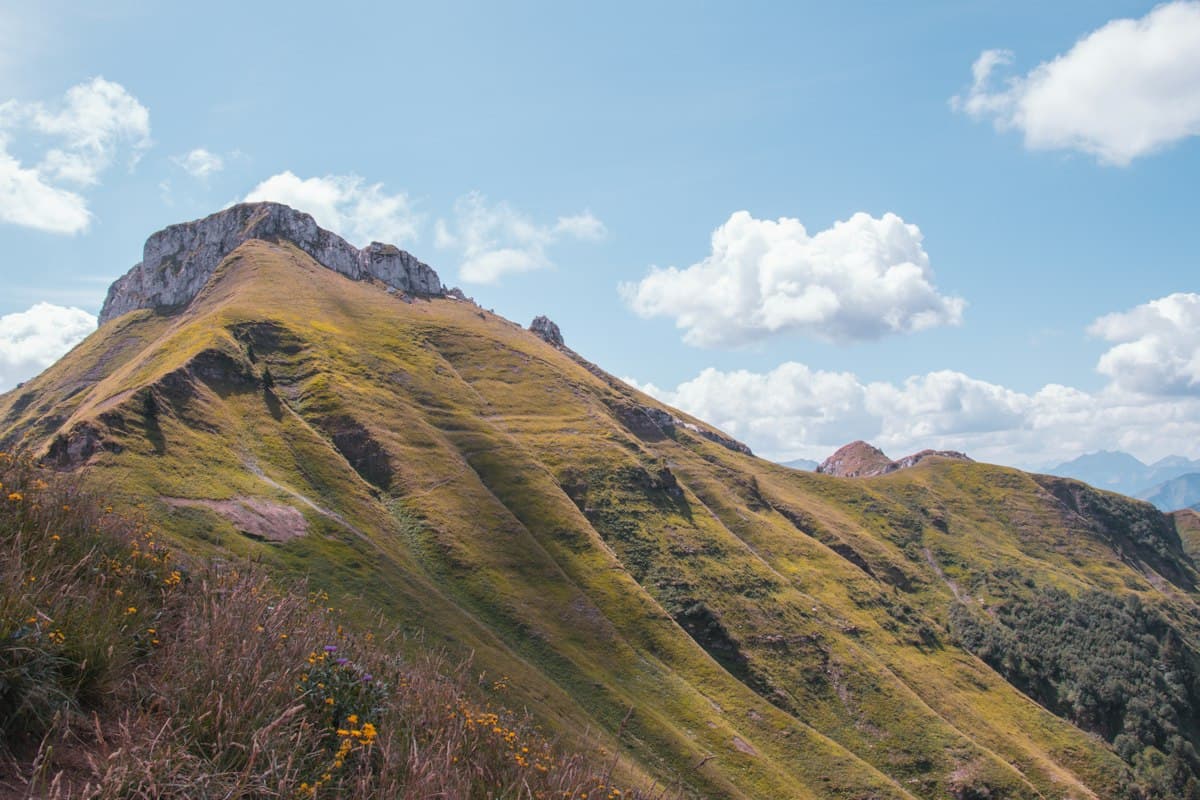
Trail Guide: The Mézenc Circuit in 2 Days
Some mountain massifs make themselves known immediately. The Mézenc is not one of them. Tucked between the Haute-Loire and Ardèche departments of south-central France, rising above 1,700 metres, this volcanic plateau remains surprisingly overlooked in hiking guides. Yet it concentrates everything you look for in a great two-day outing: sweeping views across the Alps and the Massif Central, dramatic geology, highland pastures bathed in autumn light — and a wind that reminds you, at every moment, that you are on an exposed summit.
This two-day circuit links the main highlights of the massif: the summit of Mont Mézenc (1,753 m), the volcanic domes known as sucs, the headwaters of the Loire river, and the unmistakable Gerbier de Jonc. The loop covers approximately 26 km and is suited to experienced hikers, best tackled in September or October.
The Mézenc: Volcanic Domes and Shepherd Shelters
To understand the Mézenc, you first need to understand its geology. Several million years ago, intense volcanic activity peppered this plateau with domes and cones — the sucs. These rounded reliefs, sometimes almost geometric in shape, give the landscape an eerie quality unlike anything in the Alps. You might think of the Scottish Highlands or Iceland.
The word suc comes from the local dialect and refers to these domes of phonolite or basalt that emerge from the plateau. There are dozens in the area: the Suc de Sara, the Suc de Ronzon, the Suc de la Tortue… Each one offers a natural vantage point over the surroundings.
Alongside these volcanic domes stand the burôns: small dry-stone shelters built by shepherds who spent their summers here with their flocks. Many are in ruins, but some have been restored. They dot the trails like discreet landmarks, witnesses to a pastoral life long gone. In autumn, the empty pastures and abandoned shelters give the landscape a particular melancholy — and a particular beauty.
The mountain straddles two departments: Haute-Loire to the west (the Les Estables side) and Ardèche to the east (the Gerbier side). You cross from one to the other without noticing, on well-marked trails.
Day 1: Les Estables to the Summit of Mont Mézenc (14 km, +650 m elevation)
Start: Les Estables (1,360 m)
The village of Les Estables is the natural starting point for the circuit. At 1,360 metres, it is already a vantage point. On a clear day, you can see the summit of Mont Mézenc from the car park — it looks close, almost within reach. Don't be fooled: the ascent is steady but exposed, and the wind can make the final two kilometres punishing.
The trail first climbs through pastures, following dry-stone walls. The view opens quickly to the east: you can spot the Gerbier de Jonc, recognisable by its conical silhouette, and on clear days, the Alpine summits in the distance. In spring, gorse floods the hillside with yellow; in autumn, the dark green of the bilberry bushes turns a deep bordeaux red.
Around 1,600 metres, the trail crests onto the summit plateau. The wind picks up. This is the moment to add a layer and make sure everything in your pack is secured. The summit cross appears at the end of a wide path: you are standing on the highest point of the eastern Massif Central, at 1,753 metres.
The Summit Panorama
On a clear day — which is not guaranteed — the panorama is exceptional. To the north, the Puy-en-Velay and its famous volcanic rock. To the east, the Dauphiné Alps, the Écrins range, sometimes even Mont Blanc. To the south, the Ardèche plateaux descending toward the Mediterranean. To the west, the Chaîne des Puys.
Allow at least 30 minutes here. This is the kind of summit where you sit down, eat your lunch while staring into the distance, and forget that the wind is blowing at 50 km/h.
Descent via the Volcanic Domes
The descent back to Les Estables follows a different route from the ascent. You pass through several volcanic domes, including the Suc de Sara (1,690 m), offering a second viewpoint over the massif. The trail then drops through the highland pastures, passes a few burôns, and returns to the village by late afternoon.
Recommended accommodation: The Les Estables gîte d'étape (walkers' hostel) offers half-board for hikers. Book ahead during peak season.
Day 2: Gerbier de Jonc and the Sources of the Loire (12 km, +400 m elevation)
Route: Les Estables → Gerbier de Jonc → Sources of the Loire → Les Estables
Day two is shorter but no less striking. Leave Les Estables on the eastern forest road, then drop onto the Ardèche trails. The landscape shifts slightly: the domes continue, but the vegetation is denser on the Ardèche side, and springs are everywhere.
The Gerbier de Jonc (1,551 m)
Halfway through the circuit, the Gerbier de Jonc makes itself known. This perfectly shaped volcanic cone is one of the symbols of Ardèche. The ascent from the Col de la Chavade takes about 40 minutes. The summit offers an unobstructed view of the entire plateau: the Mézenc to the north-west, the Cévennes to the south, and the Valence corridor to the east.
The Gerbier is famous across France for one reason: this is where the Loire river is born. Or rather, this is where three springs compete for that claim.
The Three Sources of the Loire
Below the Gerbier, three small springs all carry the name of the Loire, with slight distinctions. The geographical source — the highest in altitude — is the first to join the river's true course. The archaeological source is mentioned in ancient texts. The true source has the most consistent flow.
All three are accessible within minutes of the main trail. It is a strange and moving place: a stream barely wider than your hand, which will eventually become one of France's great rivers, 1,013 kilometres away at its mouth in the Atlantic at Saint-Nazaire.
Return to Les Estables
The final stretch follows the Ardèche pastures before climbing back to Les Estables along a ridge trail. The late afternoon light, low and golden, illuminates the dry grasses and bilberries. The kind of light that makes you want to come back.
To explore more of the forests and valleys of the Ardèche in this area, the Volane Valley circuit on OpenRando (9.7 km, 415 m elevation gain) is a rewarding forest walk inside the Monts d'Ardèche Regional Natural Park.
Wind: the Permanent Constraint
It needs to be said directly: the Mézenc is one of the windiest massifs in France. This is not a minor footnote in the guide — it is a structural constraint for the entire itinerary.
The dominant winds come from the south (the vent du midi) and the north-west. In autumn and winter, gusts above 100 km/h are not uncommon at the summit. Even in summer, the summit plateau is rarely calm. Trees grow bent, cairns collapse, signposts are bolted down.
This has several practical implications:
- Never leave without a windproof shell. A lightweight windproof jacket in your pack is non-negotiable, even if the forecast looks fine.
- Anticipate rest stops. Wind chill can be brutal. Put a layer back on as soon as you stop moving.
- Take exposed ridges on the descent, not the ascent. In strong winds, it is better to avoid the most exposed sections when you still have the full day ahead of you.
- Trekking poles help with stability. On the summit plateau in strong wind, a sudden gust can knock an unprepared hiker off balance.
The weather window on the Mézenc is often tighter than elsewhere. Check forecasts the evening before, particularly for gusts at altitude. Météo-France publishes specific bulletins for Massif Central ranges.
Accommodation and Supplies
Options are limited but sufficient:
In Les Estables: The municipal gîte d'étape is the most practical option. Open from May to November, with roughly 50 dormitory places. A few private rooms are available in local guesthouses. A small grocery shop opens in season.
At the Gerbier de Jonc: Several restaurants and a farmhouse auberge welcome visitors during the day. There is no accommodation at the Gerbier itself.
Wild camping: Technically permitted on the plateau between 11 pm and 9 am, in line with local regulations. Choose a spot sheltered from the wind — the volcanic domes make effective windbreaks.
For supplies, Les Estables has no supermarket. Stock up in Yssingeaux (30 km away) or Le Puy-en-Velay before you arrive.
When to Go: The Autumn Window
The Mézenc can be hiked year-round, but autumn — mid-September to mid-October — offers a unique spectacle. Bilberries redden, bracken turns rust, pastures take on ochre tones. The light is lower and more golden. The crowds have gone.
It is also the season when the wind begins to strengthen. Clear days alternate with sudden gusts. The rule is simple: leave early, return by 3 pm. Disturbances often arrive in late afternoon over this plateau.
Spring (May-June) is the other good window, with alpine flowers and horses grazing freely on the plateau. Avoid July and August: hikers are numerous and the midday light is harsh.
In winter, the circuit is possible on snowshoes, but requires mountain experience and proper equipment. Snow can accumulate rapidly on the plateau, and the wind makes conditions significantly harder than they look on paper.
The Mézenc tour is not on France's list of iconic circuits. There are no queues at the summit, no overflowing car parks, no group photos with matching fleeces. Just a volcanic plateau, a few cairns dismantled by the wind, cattle grazing at 1,700 metres, and a view that sometimes stretches to the Alps. That is enough.
As an Amazon Associate, we earn from qualifying purchases. Links marked with an external icon are affiliate links.
Related reading
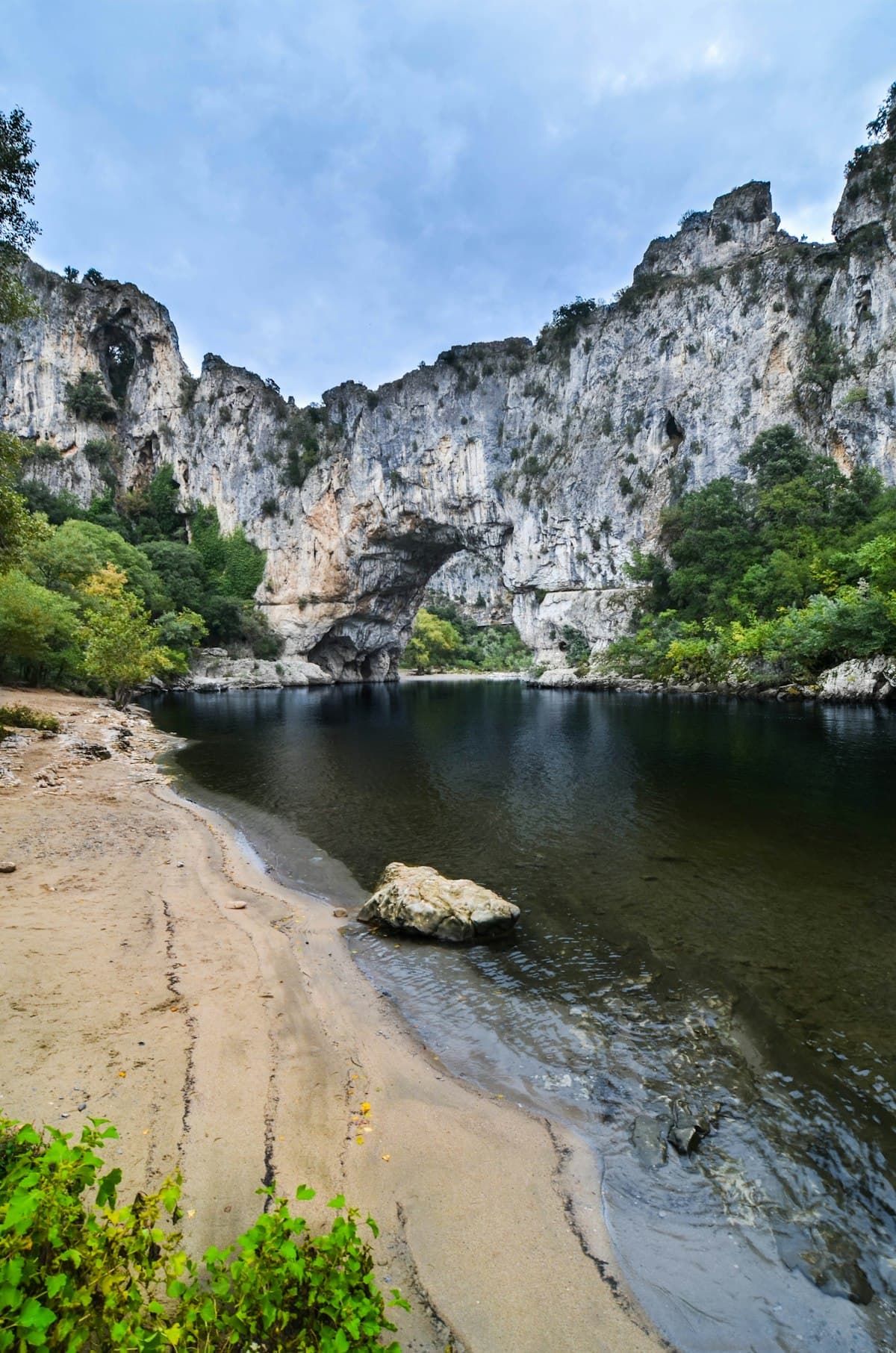
Hiking the Ardèche Gorges: 8 unmissable trails
Discover 8 spectacular hikes in the Ardèche gorges and wild landscapes: volcanoes, canyons, medieval villages and breathtaking panoramas.
Hiking During Hunting Season: How to Stay Safe in Autumn
How to hike safely during hunting season in France: know the hunting dates by region, how to spot an active drive hunt, how to stay visible, and what to do if you encounter a battue.
The Best Hikes in the Vosges Mountains
Eight hikes in the Vosges: summits, glacial lakes, highland meadows and ridge trails, through France's most spectacular autumn beech forests.