Itinerary: Sainte-Baume Massif in 2 Days
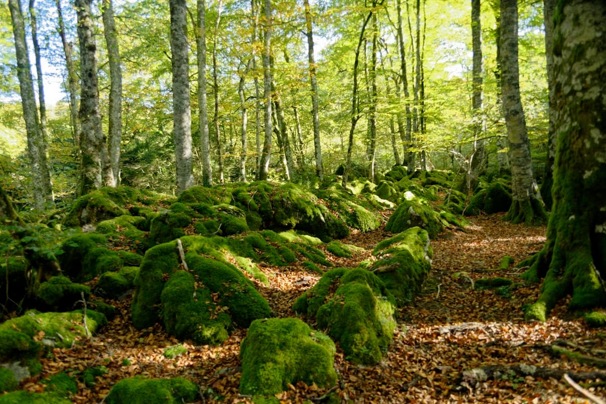
Forty kilometres from Marseille and an hour's drive from Aix-en-Provence, the Sainte-Baume massif hides one of Provence's best-kept secrets: a forest of beech, lime and yew trees that would not look out of place in Normandy or the Vosges. This climatic anomaly — a temperate forest in a Mediterranean setting — is a glacial relict. It survives here thanks to the massif's north-facing slope, which never receives direct winter sunlight and maintains exceptional humidity all year round.
Two days are enough to explore the highlights: the relic forest, the cave of Mary Magdalene, the ridgeline and the Saint-Pilon summit. Here is the full itinerary.
See also: All hikes on the Sainte-Baume massif
Key Facts
| Total distance | ~22 km (both days) |
| Total elevation gain | ~1,200 m |
| Duration | 2 days (5–7 h hiking per day) |
| Difficulty | Moderate to strenuous |
| Best season | October – April (autumn colour in the forest) |
| Start / Finish | Plan d'Aups-Sainte-Baume |
| Accommodation | Hôtellerie de la Sainte-Baume |
A Glacial Relict Forest in a Mediterranean Landscape
The first thing that strikes you when you step into the Sainte-Baume understorey is the silence and the cool air. Deep in Provence, on an autumn afternoon, you are walking beneath century-old beech trees glowing copper and gold — a sight that feels completely out of place in this landscape of garrigue and white limestone.
This forest is a glacial relict. It already existed more than ten thousand years ago, when the European climate was much colder and wetter. Post-glacial warming normally pushed this type of vegetation northward and upward. But here, the massif's north-facing slope — permanently shaded and regularly shrouded in mist — has maintained the conditions the forest needs to survive.
You will find beeches (Fagus sylvatica), yews (Taxus baccata — the oldest individual European trees sometimes exceed 1,000 years), limes, Montpellier maples and ash. The forest has been classified as an Integral Biological Reserve since 2003. Picking plants, hunting and wild camping are strictly forbidden inside it.
Want to identify the trees you encounter on the trail? Our guide Identifying trees during a hike gives you all the keys.
Day 1: Plan d'Aups — the Cave — Saint-Pilon (11 km)
Duration: 5–6 hours | Elevation gain: ~750 m
Starting from Plan d'Aups
Set off from the village of Plan d'Aups-Sainte-Baume (elev. 695 m), the terminus of the departmental road from Saint-Zacharie. Free parking is available opposite the Dominican guest house. Take a moment to look at the north face of the massif from below: the limestone wall rising before you tops out above 1,000 metres, with the dark mass of the forest covering its lower half.
The red-and-white waymarked trail (GR 98) heads due south from the village. It enters the forest within a few hundred metres. The atmosphere changes immediately: light filters through dimly, the air is cool, and moss carpets every stone. In autumn, the beeches have turned to copper — one of the most spectacular sights in Provence.
The Cave of Mary Magdalene
After 3 km and roughly 350 m of climbing, you reach the Cave of Mary Magdalene (elev. 946 m). Christian tradition holds that Mary Magdalene spent the last thirty years of her life in this cavity. The site has been an active place of pilgrimage since the Middle Ages. A troglodyte basilica carved into the cliff face hosts daily masses in every season.
Inside, it is dark, cold, and heavy with history. Even if you are not a believer, the atmosphere is striking: hundreds of candles, votive offerings, the murmur of prayers and bare rock overhead.
The ascent from Plan d'Aups is sustained but well waymarked. Chains fixed into the rock ease the few tricky sections. The route is accessible year-round except in icy conditions in winter — bring trekking poles and waterproof hiking boots with good grip.
Saint-Pilon (994 m)
From the cave, continue east on the GR 98 to reach the ridgeline and Saint-Pilon, the massif's most visited summit (elev. 994 m). An oratory was erected here in 1879. The view is spectacular: northward, the Massif Central and the Alps in clear weather; southward, the Mediterranean, the Bay of La Ciotat and the offshore islands. On still days, Corsica is visible from the summit.
The climb from the cave takes about 45 minutes. The path is well defined but can be exposed to wind — the mistral sometimes exceeds 80 km/h on these ridges in winter and spring.
Descend to the guest house either via the southern slope or by retracing your steps, depending on your preference. Allow 1 h 30 to 2 hours for the return from Saint-Pilon.
Accommodation at the Hôtellerie de la Sainte-Baume
The Hôtellerie de la Sainte-Baume is run by the Dominican community. It offers simple, comfortable rooms at very affordable rates. The food is excellent — the brothers cook themselves. The atmosphere is welcoming to everyone, believers and non-believers alike. It is a place of quiet that is worth the journey in its own right.
Book well in advance, especially from May to October. Weekends around the feast of Mary Magdalene (22 July) fill up weeks ahead.
Website: hotellerie-saintebaume.com
Alternatively, Plan d'Aups itself has a few bed-and-breakfasts and gîtes. The town of Saint-Zacharie, 10 km away, offers a wider range of accommodation.
Day 2: The Ridgeline Traverse (11 km)
Duration: 5–6 hours | Elevation gain: ~450 m
The Main Ridge, from Saint-Pilon to La Glacière
The second day follows the massif's main ridge heading east. From the guest house, climb back to Saint-Pilon (1 hour), then take the ridge eastward towards La Glacière (elev. 1,013 m — the massif's high point).
Walking the ridge is a completely different experience from the forest of the previous day. Here the landscape is bare, mineral and windswept. Views open in every direction. In clear conditions you can see the Luberon to the north-east, the Sainte-Victoire to the west and the Verdon to the north.
The trail follows the ridge for about 5 km. It is well waymarked but can be exposed in bad weather. Off-trail, the slopes are steep limestone — stay on the marked path.
North Slope versus South Slope
One of the most striking experiences of the ridge traverse is stepping from the north face to the south face in a matter of metres. On one side: the dense, cool, almost dark beech forest. On the other: Mediterranean garrigue, Aleppo pines, white limestone, heat and light.
This duality is unique in France. It illustrates in a single step why the Sainte-Baume is an exceptional massif: two opposing botanical worlds separated by a few tens of metres of elevation change.
Descent to Plan d'Aups
From La Glacière, several descent options are available:
- GR 98 westward: back to Plan d'Aups in 2 hours, via the beech forest
- Sentier des Roys: down to Parc de Saint-Pons at Gémenos (accessible by public transport)
- Col de l'Espigoulier: descent to Gémenos, with connections to Aubagne and Marseille
If you left your car at Plan d'Aups, the westward GR 98 is the most practical and most scenic return route.
Rules and Regulations
The Sainte-Baume forest is a Integral Biological Reserve and a protected GR trail zone. Essential rules to follow:
- Wild camping is forbidden in the forest and on the ridges
- Fires are forbidden (high fire risk all summer, and the forest is classified)
- Picking plants is forbidden — including mushrooms
- Dogs must be kept on a lead at all times
- Leave no trace — carry out everything you carry in
In summer (July–August), access to certain sectors may be restricted during high fire-risk periods. Check the prefectoral regulations before you go.
Getting There
By car: Plan d'Aups-Sainte-Baume is reached from Aubagne (D2n, 20 km) or from Saint-Zacharie (D80, 10 km). The A50 motorway (Marseille–Toulon) has an exit at Aubagne Est. From Aix-en-Provence, allow 45 minutes.
By public transport: There is no direct service to Plan d'Aups. The closest train station is Aubagne (TER from Marseille Saint-Charles, 20 min). From Aubagne, a taxi or rideshare is needed for the final stretch.
Maps: IGN Top 25 no. 3245ET (Aubagne–La Ciotat–Massif de la Sainte-Baume). Download the GPX track from the hike page on OpenRando before you leave.
Recommended Kit
For this two-day route with sustained elevation gain on limestone terrain:
- Waterproof ankle-height hiking boots — morning dew and muddy autumn tracks under the beech canopy will soak trail shoes
- Collapsible or telescopic trekking poles — helpful on descents and at the chained sections
- A lightweight waterproof jacket — ridges are exposed to the mistral
- Lightweight gloves for exposed ridge sections in autumn and winter
- A headlamp if you start early or finish late — November days are short
See also: Identifying trees during a hike to make the most of the beech forest
The Takeaway
The Sainte-Baume is not the most dramatic massif in Provence in an alpine sense. No 2,000-metre summits, no via ferratas, no dizzying ridgeline panoramas. What you find here is something else: silence, a genuinely rare botanical phenomenon, a landscape steeped in history and spirituality, and a world that shifts at every step between the temperate forest of the north slope and the sun-baked garrigue of the south.
It is a massif that rewards patience. Put it on your list for next autumn — the beeches will be waiting.
As an Amazon Associate, we earn from qualifying purchases. Links marked with an external icon are affiliate links.
Related reading
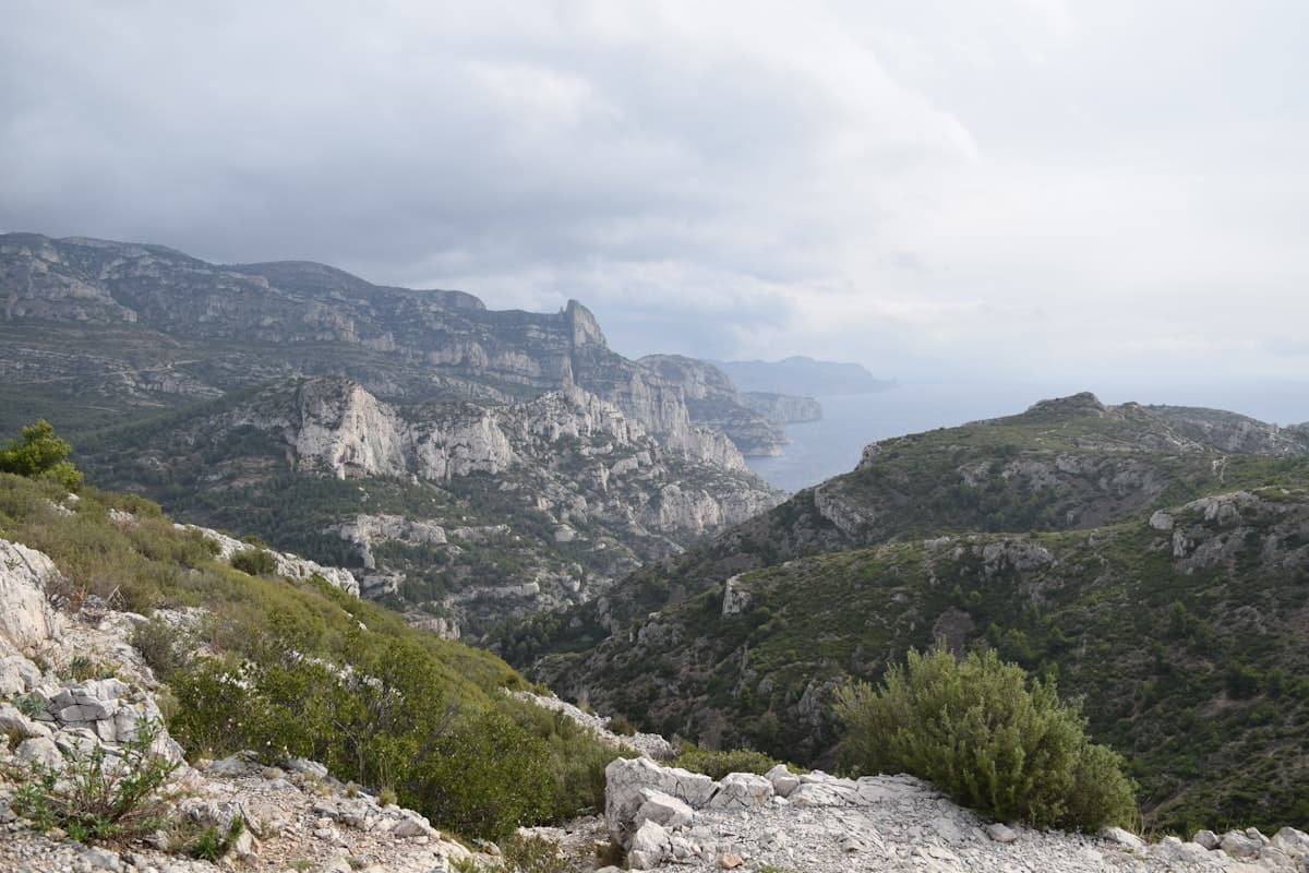
Itinerary: the GR51 Balcons de la Méditerranée in 3 days
Turquoise calanques, the ancient Sainte-Baume forest and Pagnol's beloved Garlaban hills: hike the GR51 Balcons de la Méditerranée in 3 days, from Marseille to Aubagne through Provence's most breathtaking landscapes.
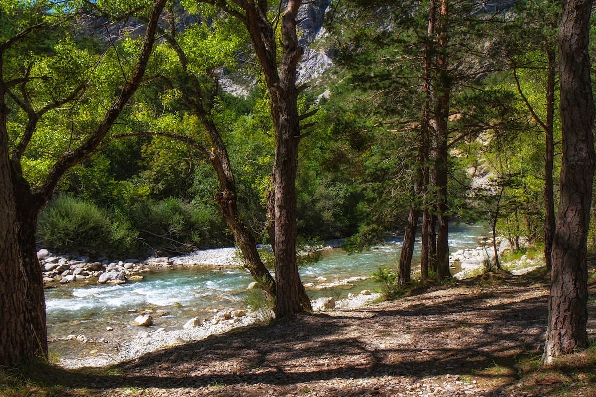
Hiking in the Massif de la Sainte-Baume: the 8 best trails
Explore the Massif de la Sainte-Baume: ancient forest, Mary Magdalene's grotto, panoramic views over the Côte d'Azur. The 8 best hikes in the PNR in Provence.
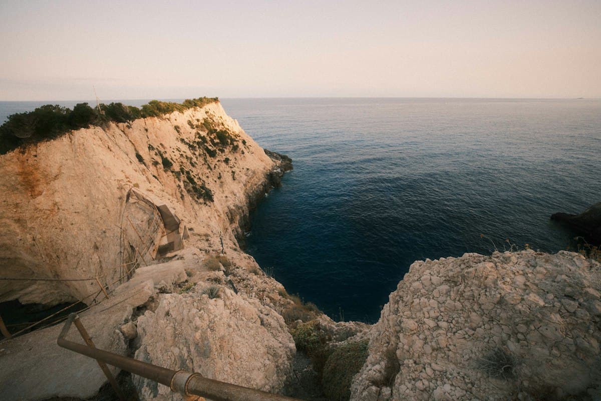
Itinerary: the Côte Bleue coastal path in 2 days
Hike the Côte Bleue coastal path in two days, from Carry-le-Rouet to Martigues: calanques, hidden coves and GPX tracks. A quieter alternative to the famous Calanques.