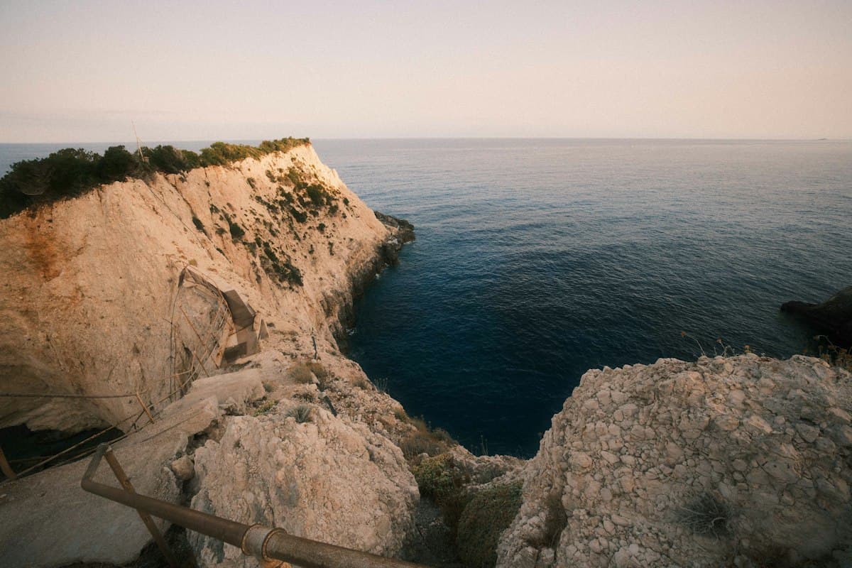
Itinerary: the Côte Bleue coastal path in 2 days
Between Marseille and Martigues, the Côte Bleue stretches 25 kilometres of limestone cliffs, hidden calanques and deserted coves. It is one of the last coastal trails in the Mediterranean where you can walk for two full days without crossing a road. And yet it remains surprisingly unknown compared to the fame of the Calanques.
Here is a two-stage itinerary to walk this coastline from Carry-le-Rouet to Martigues, with everything you need to know before you set off.
The Côte Bleue: the quieter alternative to the Calanques
The Calanques attract hundreds of thousands of hikers every year. The scenery is spectacular and wild, but the trails are often crowded. The Côte Bleue offers a comparable experience — turquoise sea, white limestone, pine forest — with far fewer visitors, even at the height of summer.
Another advantage: the terrain is more accessible. There are no vertiginous climbs or technical passages. The itinerary suits regular walkers without any particular alpine experience.
Finally, the Côte Bleue train — the famous Marseille–Miramas line — runs alongside the route and allows flexible departures and returns from any station along the coast. You can walk east or west, start from a different station depending on the weather or your energy levels. This is the decisive logistical argument.
Practical information
| Total distance | ~25 km (both stages) |
| Total elevation gain | ~600 m |
| Duration | 2 days (5–7 hours of walking per day) |
| Difficulty | Moderate |
| Best season | September – June (avoid July–August) |
| Start | Carry-le-Rouet (SNCF train station) |
| End | Martigues (bus back to Marseille) |
Day 1: Carry-le-Rouet — Sausset-les-Pins (12 km)
Duration: 5–6 hours | Elevation gain: ~350 m
Carry-le-Rouet and the Cap Rousset calanque
The start from Carry-le-Rouet is immediate: from the station, walk down to the harbour in 10 minutes, then take the GR 2013 heading east. The trail quickly climbs onto the cliffs, offering a plunging view over the sea.
After 2 km, the Cap Rousset calanque is worth a stop. Accessible from the trail via a short detour (5 minutes), this cove with its transparent water is one of the most beautiful on the coast. In September–October, it is virtually deserted.
From La Couronne to La Redonne
The trail threads between pines and cliff edges for several kilometres. Pass by the villas of La Couronne — a hamlet perched on the clifftop — before dropping down to the Anse de la Figuière.
The descent to La Redonne is one of the highlights of the day. This tiny fishing port, enclosed between cliffs, feels like it belongs to another era. It is the ideal place for a lunch break: there is a grocery-café open all year round.
Arriving in Sausset-les-Pins
From La Redonne, the trail climbs back up onto the heights before descending to Sausset-les-Pins. The yellow waymarking is clear and well-maintained throughout this section. Allow 2–3 hours from La Redonne.
Accommodation in Sausset-les-Pins is varied: hotels, B&Bs, campsites. Book in advance from May to October.
Day 2: Sausset-les-Pins — Martigues (13 km)
Duration: 5–7 hours | Elevation gain: ~250 m
From Sausset to Carro
The second day begins with the crossing of Cap Couronne, the limestone headland that dominates the entire coast. The view from the point — Marseille to the east, the Étang de Berre to the west — is exceptional.
The trail then descends to Carro, a fishing village with a colourful harbour and a sandy beach. It is one of the few places on this section where you can swim from a sandy beach. Take the opportunity: the rest of the route is rockier.
The La Couronne coastline
Between Carro and La Couronne, the trail follows a low, rocky coast dotted with tiny calanques. The atmosphere is wild, almost desert-like. Yet you are just 30 minutes by car from Martigues.
The Calanque de la Cigale is a hidden gem on this section: a notch in the rock, accessible via a 10-minute detour, with limpid blue water.
Entering the Martigues marshes
The final kilometres bring a dramatic change of scenery. The trail leaves the white limestone to follow the marshes and lagoons leading into Martigues. The atmosphere becomes almost lagoon-like, with flamingos often visible in the late season.
Arriving in Martigues — the "Provençal Venice" with its painted canals and bridges — marks the end of the route. The town deserves a short visit before catching the bus back to Marseille.
The Côte Bleue train: the perfect logistics
This is the route's trump card. The Marseille–Miramas line (via Carry-le-Rouet) runs almost exactly parallel to the trail, with stations at Carry-le-Rouet, La Couronne, Sausset-les-Pins and Carro.
This means you can:
- Cut the itinerary short if you get tired or the weather turns, by heading to the nearest station
- Start mid-way if you only want to do one day
- Return easily from Martigues by bus (line 50 to Marseille Saint-Charles)
Check the timetables on the SNCF website before you leave: some trains do not stop at all the small stations.
Coves and late-season swimming
October is one of the best months for hiking the Côte Bleue. The sea is still warm (20–22°C), the crowds have gone, and the light is exceptional. Several coves along the route allow for a spontaneous swim.
Coves to note:
- Cap Rousset calanque (day 1, km 2) — easy access, shallow water
- Anse de la Figuière (day 1, km 7) — more isolated, pebble bottom
- Calanque de la Cigale (day 2, km 7) — the bluest water on the route
Pack a swim hat and light water shoes if you plan to swim from the rocks.
For underwater comfort and exploring rocky seafloors, a snorkelling mask and fins can turn a swim stop into a proper underwater exploration.
Recommended equipment
For a two-day coastal path itinerary, standard hiking kit applies. A few points specific to the Côte Bleue:
- Sun cream and hat: the sun is strong even in autumn, and the trail offers little shade
- Water: water points are rare between villages. Carry at least 1.5 L at the start of each stage
- Shoes: lightweight hiking shoes are sufficient — the terrain is limestone but not technical
- Clothing: pack a light layer against the sea breeze, which can pick up quickly
Access restrictions during fire risk periods
The Côte Bleue is subject to the same access restrictions as the Calanques during periods of high fire risk. From July to mid-September, the prefect of Bouches-du-Rhône can close the massif.
Orders are updated daily. Check massifs-paca.fr the evening before your hike and, if in doubt, call the Carry-le-Rouet Tourist Office.
Outside of July–August, restrictions are rare. October generally offers stable weather and excellent hiking conditions, with very low fire risk.
Accommodation along the route
Several options for splitting the itinerary over two days:
- Sausset-les-Pins: the natural halfway point. Seafront hotels, B&Bs in the lanes of the old village.
- La Redonne: a more intimate option for those who want to soak up the fishing village atmosphere. Only one B&B — book very early.
- Carro: if you prefer to cover more ground on the first day. Well-equipped municipal campsite.
Also read: Hiking around Marseille beyond the Calanques | Hiking in the Calanques of Marseille
The Côte Bleue is one of those itineraries that never disappoints, whatever the season. The alternation of cliffs, hidden coves and small fishing ports gives the route a variety that few coastal paths in France can match. And with the train running alongside the coast as a safety net, it is an accessible and flexible itinerary — perfect for a first experience of multi-day hiking.
As an Amazon Associate, we earn from qualifying purchases. Links marked with an external icon are affiliate links.
Related reading

The Most Beautiful Coastal Trails of the Mediterranean
Discover 8 hikes along the most stunning Mediterranean coastal trails: Cap Camarat, Cap Canaille, the Banyuls coastal path, the Étang de Berre and the Mugel Calanques. Routes, tips and GPX tracks.
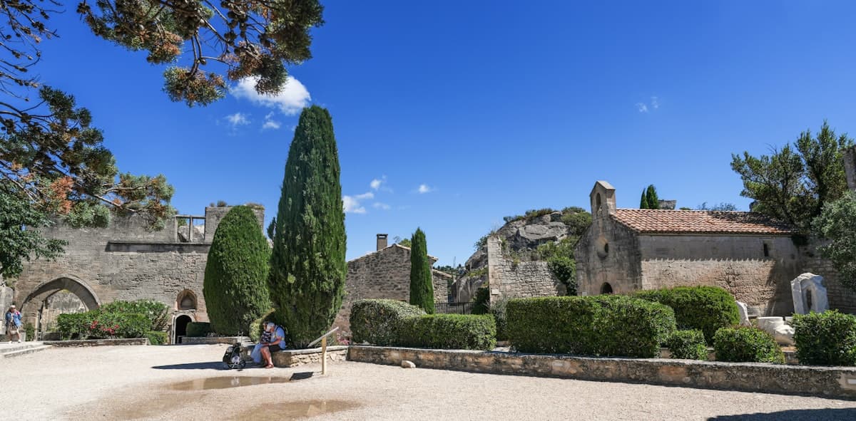
French Heritage Days 2026: 8 Hikes to Reach a Historic Monument on Foot
Eight hikes leading to monuments open for the Journées du patrimoine: abbeys, hilltop chapels, forts and ancient oppida accessible on foot on September 19–20.
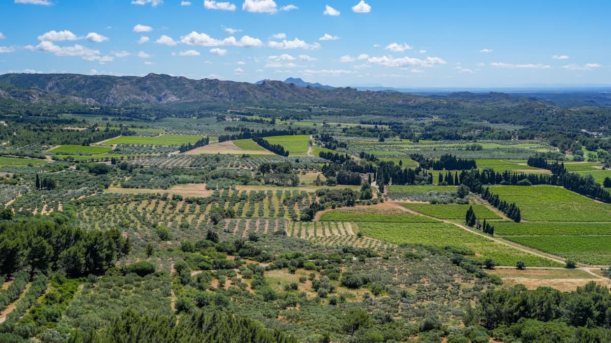
Itinerary: Crossing the Alpilles in 2 Days
Cross the Alpilles from east to west in two days: detailed stages, elevation profiles, water sources, accommodation and downloadable GPX tracks.