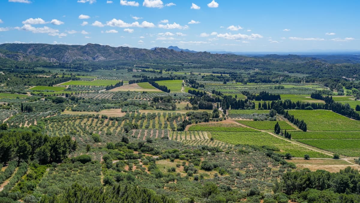
Itinerary: Crossing the Alpilles in 2 Days
The Alpilles offer one of the most iconic landscapes in Provence: jagged white limestone ridges, fragrant garrigue, perched villages, and golden light that photographers and painters have chased for centuries. This compact massif — roughly 30 kilometres from east to west, barely 12 from north to south — is perfectly suited to a complete crossing in two days. Accessible from Arles, Avignon or Marseille, it makes for an ideal long-weekend adventure away from the crowded Luberon.
This itinerary covers 34 km, linking Saint-Rémy-de-Provence to Eygalières via the Opies summit, the Caume ridgeline and the medieval village of Les Baux-de-Provence. Total elevation gain: around 820 metres over two days, with an overnight stop at Les Baux or Maussane-les-Alpilles.
Overview: 34 km East to West
The Alpilles Regional Natural Park covers approximately 50,000 hectares across two departments. Its highest point, the Caume (498 m), offers a 360° panorama on clear days: the Luberon, Camargue marshlands, Mont Ventoux and the Alpilles themselves spread out in every direction.
The GR6 long-distance trail, marked in red and white, forms the backbone of this crossing. It is supplemented by local variants and village paths. We recommend bringing the IGN map 3043OT (Saint-Rémy-de-Provence / Les Baux-de-Provence) or downloading the GPX tracks available on OpenRando.
Level: Intermediate — no technical difficulty, but sustained climbs under open sun.
Best season: September to June. Avoid July–August (extreme heat and wildfire access restrictions, see below).
Day 1: Saint-Rémy-de-Provence → Les Baux-de-Provence (17 km, +480 m)
Setting Off from Saint-Rémy
Start from the centre of Saint-Rémy-de-Provence, heading up towards the archaeological site of Glanum at the foot of the massif. The trail skirts the ancient ruins before entering the garrigue via a stony path lined with thyme and rosemary.
A rewarding morning option: follow the path alongside Lac de Peïron, one of the few water sources in the massif, with a sweeping view of the cliffs above Les Baux. This 14 km segment with 332 m of positive elevation suits a comfortable morning start — find the GPX track on OpenRando.
The Caume Ridgeline
Beyond the lake, the GR6 climbs to the Caume ridge. This is where the landscape transforms: you leave the plain and orchards behind and enter a mineral world of pine-scented garrigue and open views over the Crau plain to the south. The Tour des Opies, the highest point of the crossing, rewards a climb of 360 m elevation gain over less than 5 km — see the 13.7 km track from the valley floor.
Descent to Les Baux
The descent to Les Baux-de-Provence hugs the limestone cliffs before arriving on the rocky plateau that towers over the village. An evening arrival is spectacular — particularly at sunset, when the white stone glows amber. Allow 2 hours from the summit.
To explore the Baux site from the plateau, you can integrate this short 2.7 km loop, ideal for visiting the castle ruins and taking in the panoramic view over the Alpilles — track available here.
Estimated arrival: 5–6 pm depending on pace.
Day 2: Les Baux-de-Provence → Eygalières (17 km, +340 m)
Leaving Les Baux
The second day is slightly lower in elevation but longer in distance. Leave early from Les Baux — the first hours of morning are magical in the garrigue — and pick up the GR6 heading west.
The trail crosses white limestone pavements, open ridges and holm-oak forests. The cliffs seen from the north side, towards Maussane, have a gentler character than the dramatic drops on the southern face.
The Northern Slope and Ridge
Around kilometre 8, the path follows the ridge between Les Baux and Eygalières. This section feels genuinely wild — raptors (red kites, peregrine falcons) circle overhead and, in spring, wild orchids dot the garrigue on either side of the path.
A spectacular 25 km loop connects Eygalières to Glanum via this ridge, including the view over Les Baux and the Roman Triumphal Arch — complete track on OpenRando. For a shorter variant, the ridge loop from Eygalières (13.5 km, 238 m D+) approaches the western end of the massif from the village — see the track.
Arriving in Eygalières
The village of Eygalières marks the end of the crossing. Its cobbled lanes, medieval watchtower and shaded terraces make for a perfect finish. The local loop around the village (10.6 km, 120 m D+) allows you to wind down gently while discovering the surroundings — track available here.
Estimated arrival: 3–4 pm.
Water Sources and Supplies
Water is the main constraint in the Alpilles. The massif is almost completely dry outside a few village fountains:
- Saint-Rémy-de-Provence: fill up in town before you leave. Numerous bakeries and shops for picnic supplies.
- Lac de Peïron: not drinking water (suitable for cooling down only).
- Les Baux-de-Provence: drinking fountain in the village, small grocery store and restaurants.
- Maussane-les-Alpilles (3 km from the GR6): supermarket and bakery.
- Eygalières: fountain in the village centre, grocery store.
Recommendation: carry 2.5 to 3 litres per person per stage, more in warm weather. A lightweight collapsible bottle or hydration bladder helps you manage your water supply on the go.
Where to Sleep Overnight
Several options exist at Les Baux or nearby:
- Camping du Mas de Nicolas (Saint-Rémy): ideal for the night before departure.
- Hôtel La Reine Jeanne (Les Baux): charming hotel in the village; advance booking essential.
- Guesthouses in Maussane: numerous options 3 km from the GR6, generally more affordable.
- Bivouac: prohibited inside the Regional Natural Park's forest perimeter. Outside fire-risk zones, a discreet solo bivouac away from the trails is tolerated — check with the park authority beforehand.
When to Go and Wildfire Regulations
The Alpilles are subject to strict access restrictions from 1 June to 30 September during high fire risk conditions. Prefectural orders can close access to certain forested areas, particularly when mistral winds exceed 40 km/h.
- Ideal: April–May (flowers, cool temperatures, no restrictions) and September–October (autumn colours, bearable heat).
- Avoid: July–August (extreme heat, near-permanent access restrictions).
- Check: the Bouches-du-Rhône prefecture website or the Météo France app before every outing.
Specific Rules
- Fires and barbecues are prohibited all year long in the park.
- Dogs are welcome on marked trails but must be kept on a lead.
- Parking around the Les Baux village is restricted in high season (shuttle buses run from Maussane).
What to Pack
For two days with partial autonomy in the Alpilles:
- Footwear: low-cut hiking shoes with a Vibram sole — limestone terrain is dry and grippy; full-shank boots are overkill unless conditions are wet.
- Sun protection: essential on the exposed ridgelines. White limestone reflects UV intensely.
- Hat and sunglasses: several kilometres of open ridge with no shade.
- 30–40 L pack, lightweight sleeping bag if bivouacking, generous water reserve.
Explore the Alpilles on OpenRando
OpenRando lists dozens of tracks in the Alpilles massif, complete with elevation data, distances and terrain previews. From the /explore page, filter by area to find hikes suited to your level.
For fans of multi-day crossings, also check our guide to hiking in the Luberon or the Sainte-Victoire — two more Provençal massifs worth discovering in autumn.
As an Amazon Associate, we earn from qualifying purchases. Links marked with an external icon are affiliate links.
Related reading
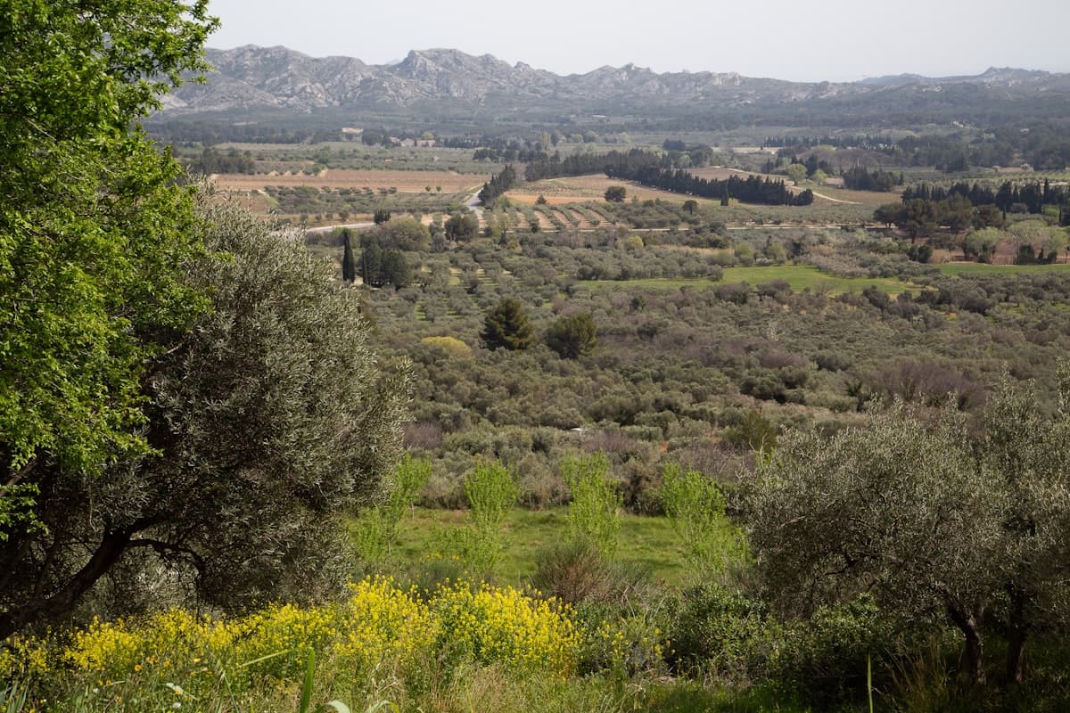
Hiking in the Alpilles: 8 Trails Through Garrigue and Olive Groves
Discover 8 must-do hikes in the Alpilles: limestone cliffs, centuries-old olive groves, perched medieval villages and sweeping views across Provence.
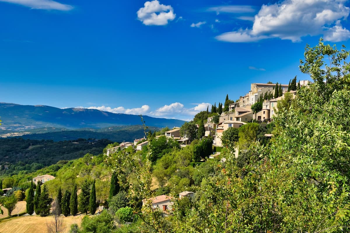
Detailed Itinerary: Crossing the Luberon in 3 Days
Set out to conquer the Luberon in 3 days of hiking: from Bonnieux to the Mourre Nègre summit, passing through cedar forests and ancient plague walls. Stage breakdown, accommodation tips, elevation profiles and practical advice for completing this iconic crossing of the Luberon Regional Natural Park.
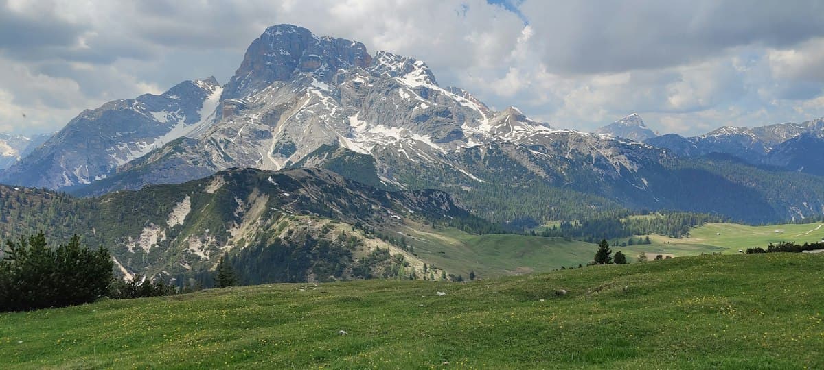
Itinerary: Tour of the Dévoluy in 3 Days
Hiking the full circuit of the Dévoluy massif in three days: stages, refuges, elevation profiles, and everything you need to know about water in this dry limestone range.