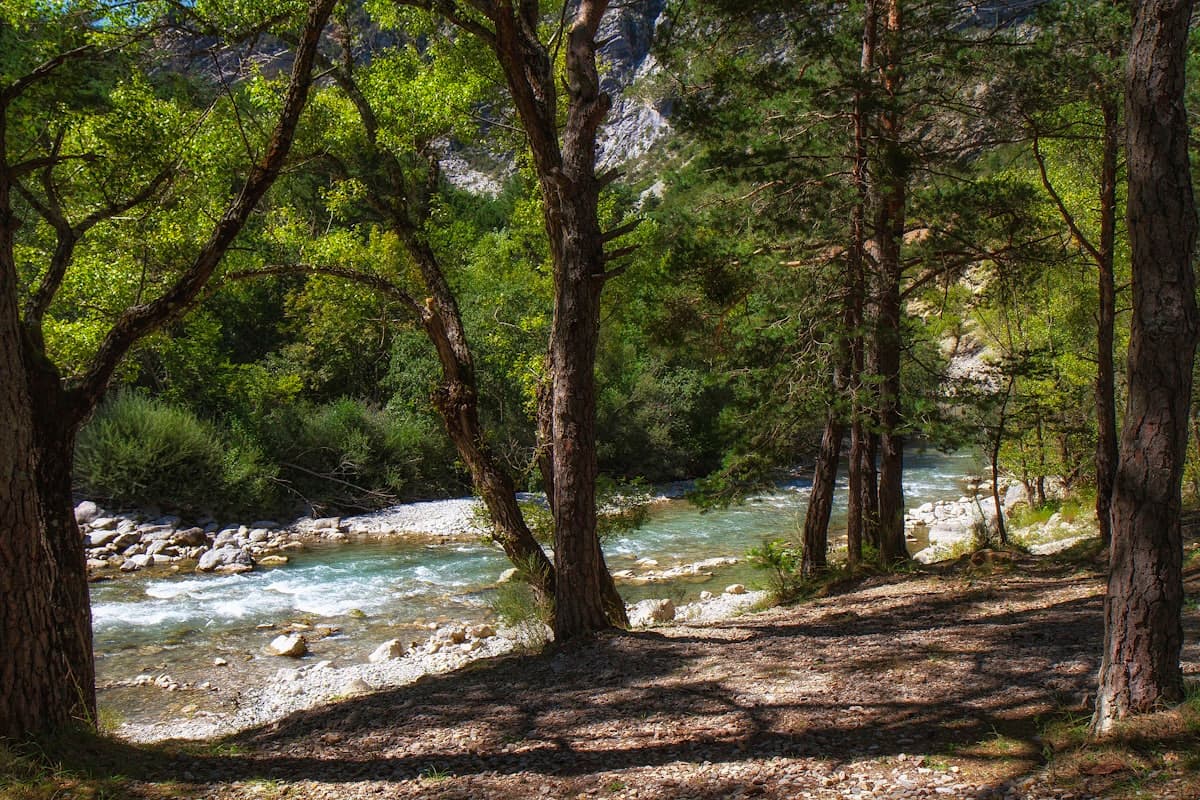
Hiking in the Massif de la Sainte-Baume: the 8 best trails
The Massif de la Sainte-Baume is one of Provence's most extraordinary landscapes. Straddling the Var and Bouches-du-Rhône departments, it shelters a relic forest unique in France: centuries-old beech trees, millennial yews, linden trees and giant ferns that feel as though they belong to another geological age. Less than 40 km from Marseille and Aix-en-Provence, this limestone massif is simultaneously a natural sanctuary, one of the oldest Christian pilgrimage sites in Europe, and an outstanding playground for hikers.
The Parc Naturel Régional de la Sainte-Baume, created in 2017, now protects over 137,000 hectares across the Var and Bouches-du-Rhône. The north-facing cliffs form an imposing limestone ridge that peaks at 1,147 m at the Signal de la Sainte-Baume. Below, the state forest — one of the very few temperate mountain forests in the entire Mediterranean South of France — stays cool even in mid-summer, sheltered from the sun by steep north-facing walls.
At the heart of the massif, the Grotto of Mary Magdalene (Grotte Sainte-Marie-Madeleine) has drawn pilgrims and curious visitors for over two thousand years. According to tradition, Mary Magdalene withdrew to this cave after the death of Christ and spent thirty years in penance here. Dominicans, Knights Templar and kings of France all passed through; Pope John Paul II himself prayed here in 1992. Beyond its spiritual dimension, it is a breathtaking natural site, perched at 946 m beneath a sheer cliff.
Here are our 8 favourite hikes in the Massif de la Sainte-Baume, for all levels.
1. Circuit through the Sainte-Baume ridge — heart of the PNR
Distance: 14.6 km | Elevation: +478 m | Level: Intermediate | Duration: 4h30
This is the ideal trail for discovering the essence of the massif. The loop crosses garrigue scrubland before plunging into the ancient forest that resembles primeval wilderness, then climbs to the ridgeline with views over the Aubagne plain and the sea. The contrast between Mediterranean scrub and northern beech forest is striking: within a few hundred metres you go from kermes oaks and Aleppo pines to huge beeches with mossy, serpentine roots.
Highlight: the dramatic vegetation transition — unique in Provence.
2. Mary Magdalene's Grotto – Saint-Pilon chapel from Riboux
Distance: 15.2 km | Elevation: +594 m | Level: Intermediate | Duration: 5h
Starting from the hilltop village of Riboux on the Var side, this trail approaches the Sainte-Baume from its wildest face. The ascent to the ridge winds through the forest in a series of zigzags, opening onto views of the Loube massif and the Var plain. Once on the ridgeline, you follow the cliff edge to the Grotto, then climb to the Saint-Pilon chapel at 994 m — one of the most spectacular viewpoints in all of Provence.
On a clear day, the panorama from Saint-Pilon is stunning: the Mediterranean, the Frioul islands, the Sainte-Victoire range, the Alpilles, and even snow-capped Alps in winter. The descent back to Riboux via the southern slopes follows shaded forest tracks.
Highlight: the 360° panorama from the Saint-Pilon chapel — absolutely breathtaking.
3. Views over the Côte d'Azur – Grotto from Plan-d'Aups
Distance: 18.4 km | Elevation: +531 m | Level: Intermediate | Duration: 5h30
Plan-d'Aups-Sainte-Baume is the classic entry point into the massif from the Bouches-du-Rhône side. This grand loop is the most complete option for those wanting to combine the Grotto visit with sea views. The route climbs to the Saint-Pilon level, descends to the Grotto (reached via a ledge cut into the cliff face), then returns along the wooded southern slopes.
What makes this trail special is that it simultaneously looks out towards the Côte d'Azur (Toulon, Cap Sicié, the Îles d'Hyères) and across the Provençal interior. It is a long day that rewards thorough preparation and a good packed lunch.
Highlight: grotto + sea panorama + dense forest all in a single day.
4. Loop Nans-les-Pins – Grotte de Castelette
Distance: 14.5 km | Elevation: +476 m | Level: Intermediate | Duration: 4h30
This loop starting from the village of Nans-les-Pins explores the less-visited Var foothills of the Sainte-Baume. The Grotte de Castelette — entirely different from the main Grotto — is a discreet rock shelter tucked into the vegetation, offering a welcome shady break in summer. The trails weave through vineyards, garrigue and holm oak forest, with successive views over the Var hills.
This is a great option for hikers who want to avoid the crowds around the main Grotto while still enjoying the varied landscapes of the massif.
Highlight: the diversity of landscapes (vineyards, garrigue, forest) on a single accessible route.
5. Sources of the Huveaune from Saint-Zacharie
Distance: 15.1 km | Elevation: +199 m | Level: Easy | Duration: 4h
The Huveaune river rises at the foot of the Sainte-Baume, in a wooded valley of surprising gentleness. This nearly flat trail follows the river from Saint-Zacharie to its source, through a forest of poplars and ash trees that murmur with the sound of water. It is one of the very few lowland walks in the massif, perfect for families, beginners, or rest-day strolls.
The path is well-marked and shaded almost throughout, making it also an excellent choice on hot summer days. Well-filled water bottles are still essential: the springs are there but the water is not safe to drink untreated.
Highlight: a peaceful, water-side itinerary ideal for a family outing.
6. Ermitage Saint-Jean du Puy and Le Regagnas
Distance: 14.6 km | Elevation: +455 m | Level: Intermediate | Duration: 4h30
Le Regagnas (928 m) is one of the quieter summits on the fringes of the massif. From this 12th-century hermitage tucked among pines, the loop climbs gradually through pubescent oak scrub to the summit, where views stretch across the Arc plain, the Sainte-Victoire and the sea. The hermitage itself is worth exploring: a Romanesque chapel, a medieval cistern and a timeless atmosphere.
This walk is particularly beautiful in spring, when blooming broom fills the trails with fragrance.
Highlight: the medieval hermitage and discreet panoramas over the Provençal countryside.
7. Caramy River – Saint-Probace Chapel from Mazaugues
Distance: 13.9 km | Elevation: +393 m | Level: Intermediate | Duration: 4h
The Caramy stream runs through a narrow gorge along the eastern edge of the massif, between Mazaugues and Tourves. This loop alternates between shaded gorge-bottom paths along the river and climbs to the Saint-Probace chapel, perched on a ridge with views over the Var hills. The gorge trail is sometimes technical, and good waterproof hiking shoes are strongly advised: stream crossings are frequent in spring.
The riverside vegetation is remarkable: alders, ash trees, willows, and a few deep pools that tempt brave swimmers in summer.
Highlight: the Caramy gorge — little-known and wonderfully wild.
8. Views over the Saint-Pons valley from Plan-d'Aups
Distance: 14.5 km | Elevation: +711 m | Level: Difficult | Duration: 5h
This is the most demanding trail in our selection. From Plan-d'Aups, the loop climbs the western ridges of the massif to its highest points, with over 700 m of cumulative elevation gain. The reward is commensurate: a plunging panorama over the Saint-Pons valley, the Étoile massif, and on clear days all the way to the Calanques of Cassis and Marseille in the distance.
The descent through wooded combes is spectacular, with passages beneath vertical white limestone cliffs. Recommended for hikers comfortable with technical terrain and map reading.
Highlight: the massif's wildest ridgeline, with the best western panorama.
Practical information for hiking in the Sainte-Baume
Getting there and parking
- From Marseille or Aix: take the D560 via Auriol to Plan-d'Aups-Sainte-Baume — free parking at the Hôtellerie de la Sainte-Baume.
- From Toulon or Brignoles: access via Nans-les-Pins (D560) or Saint-Zacharie (D45).
- Riboux: an isolated village reached by a narrow road from Cuges-les-Pins or Signes.
Waymarking and maps
Trails in the massif are marked in yellow (PR local trails) and red-and-white (GR long-distance routes). The GR 98 crosses the massif from east to west along the ridgeline. The IGN 1:25,000 map "Sainte-Baume" (3345 OT) is recommended for the harder routes. Find all GPX tracks available for download on OpenRando.
Water and food
The Sainte-Baume forest is one of the wettest in Provence, but potable water points are rare on the ridges. Always bring at least 1.5 L of water per person. The Hôtellerie des Dominicains in Plan-d'Aups offers simple catering in season.
Wildlife and flora
The massif is home to red deer (sometimes spotted at dawn in clearings), wild boar, squirrels and over a hundred bird species. On the botanical side, the state forest is a strict biological reserve: pick nothing and stay on marked trails.
The Massif de la Sainte-Baume rewards a visit in every season. Mystical in autumn fog, luminous in spring with early flowers, cool in summer beneath century-old beeches — few massifs in Provence offer such a variety of moods and trails. Before you head out, explore all the available hikes in the area on our Explore page.
As an Amazon Associate, we earn from qualifying purchases. Links marked with an external icon are affiliate links.
Related reading
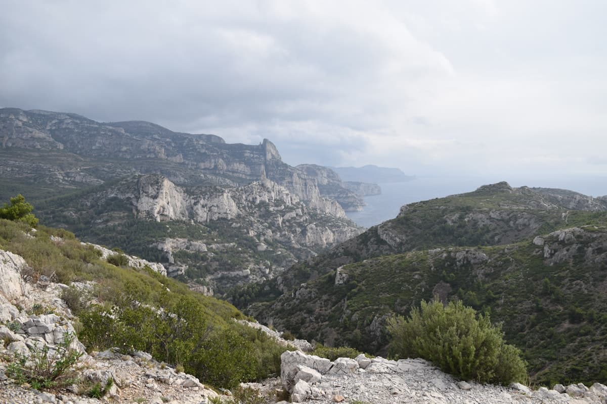
Itinerary: the GR51 Balcons de la Méditerranée in 3 days
Turquoise calanques, the ancient Sainte-Baume forest and Pagnol's beloved Garlaban hills: hike the GR51 Balcons de la Méditerranée in 3 days, from Marseille to Aubagne through Provence's most breathtaking landscapes.
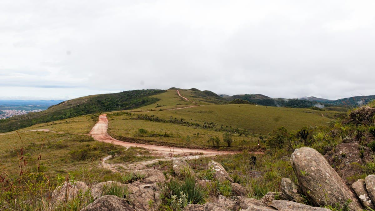
Hiking in the Monts de Vaucluse: Gorges, Bories and Lavender Plateaus
Seven hikes in the Monts de Vaucluse: combes, bories, faded lavender plateaus and perched villages between Sault and Gordes.
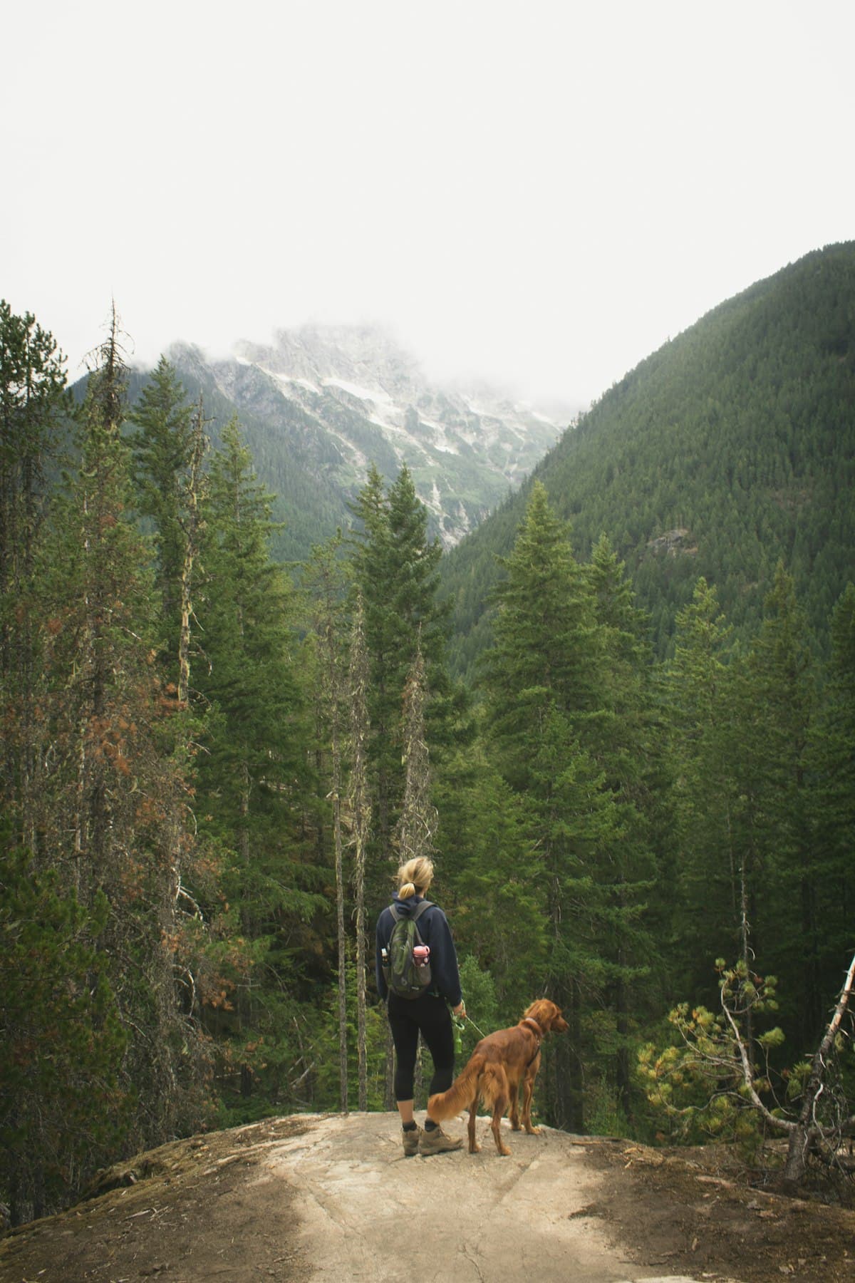
Hiking with your dog: the complete guide
Everything you need to know about hiking with your dog: gear, regulations, heat safety and 8 dog-friendly trails in Provence. The complete guide for successful hikes with your faithful companion.