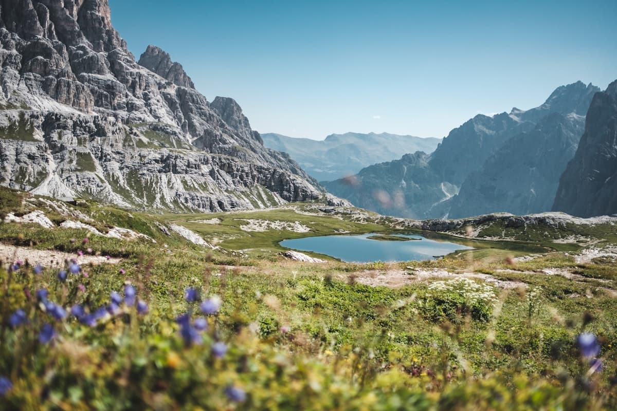
High-Altitude Hikes in the Ubaye Valley: 8 Routes to Stay Cool
In August, when the plains are scorching and low-altitude trails turn to dust, the Ubaye keeps its cool. This valley carved by the upper Ubaye River, nestled in the Alpes-de-Haute-Provence between 1,100 and 3,400 metres, offers ideal conditions for hiking in brisk air and spectacular mineral landscapes — without the crowds of the neighbouring Queyras or the Mercantour.
Barcelonnette is the gateway. Two hours from Gap, two and a half from Nice, the town is sufficiently remote to remain unspoilt yet accessible enough for a weekend trip. Here are eight itineraries that showcase what high-altitude Ubaye has to offer, from a family stroll to a serious ridge-to-summit raid.
Why the Ubaye in Late Summer
Three concrete reasons make the Ubaye a destination of choice in August.
Cool temperatures. Above 2,000 metres, afternoon highs stay around 15–20 °C even during heatwaves. High-altitude lakes never really warm up: Lac des Neuf Couleurs sits at about 8 °C in mid-August.
Snow-free trails. Unlike June outings where certain passes are still snowbound, the July–August window gives you clear paths up to 2,900 metres, with plentiful water sources from snowmelt.
Light. The Ubaye belongs to the southern Alpine sector, drier than the northern Alps. In August, afternoon thunderstorms are possible but mornings are typically bright and clear — perfect for lake photography.
To explore other high-altitude massifs, browse our hiking map.
1. Lac des Neuf Couleurs: The Must-Do
Start: Fouillouse (1,900 m) — Duration: 4 h — Elevation gain: +580 m — Difficulty: Intermediate
This is the emblem of high Ubaye. The Lac des Neuf Couleurs (Nine-Colour Lake) owes its name to the iridescent reflections produced by minerals on the lake bed: depending on the time of day and light, the water shifts from turquoise to emerald green, from cobalt to slate grey. No filter, no retouching — this is reality.
The trail starts at the hamlet of Fouillouse, the last inhabited village in the Bachelard valley. The path first follows a stream, then climbs in steady switchbacks through high pastures dotted with daisies and gentians. At 2,480 metres, the lake appears abruptly after a rocky step: the surprise effect is total.
Variant: Lake circuit and upper viewpoint
Adding 45 minutes, you can walk the full perimeter of the lake and climb to the small pass above it (2,560 m). The view plunges down one side to the lake, the other to the Chambeyron ridges. A loop itinerary is recommended.
Practical tip: Leave before 8 a.m. to avoid crowds and catch the morning reflections. Carry a SPF 50+ sunscreen — the UV index regularly exceeds 9 above 2,000 m on summer afternoons.
2. Col de la Bonette and Its Walking Variants
Start: Restefond (2,680 m, car park below the pass) — Duration: 1 h 30 to 3 h depending on variant — Elevation gain: +200 to +500 m — Difficulty: Easy to intermediate
The Col de la Bonette (2,715 m) connects the Ubaye to the Niçois hinterland. While the road is world-famous among cyclists, hikers make far less use of it. Yet the trails from the Restefond car park are among the most accessible in the southern Alps: your car brings you to 2,680 metres, making outings feasible for beginners or families with children aged 8 and up.
Variant 1: Cime de la Bonette (2,860 m)
The actual summit, reached via a circular path from the road pass, takes 45 minutes. The 360° panorama sweeps across the Mercantour, the Maritime Alps and, on a clear day, the Mediterranean on the horizon.
Variant 2: Descent to Lac des Fourches
In 1 h 30, descend toward the Ubaye side to reach Lac des Fourches (2,540 m), a quiet, cold lake ringed by old larches. Return via the same trail.
Variant 3: Granges Communes Ridge
For walkers comfortable on rocky terrain, the Granges Communes ridge (2,890 m) can be reached in 2 h from the Restefond. Sweeping views over the Argentera massif on the Italian side.
3. The Lacs de Marinet
Start: Saint-Paul-sur-Ubaye, Barge hamlet (1,750 m) — Duration: 5 h 30 — Elevation gain: +950 m — Difficulty: Intermediate
The Lacs de Marinet form a string of three lakes stacked between 2,530 and 2,640 metres in the upper Ubaye valley. This is one of the wildest itineraries in the region: no refuge, no refreshment stand. Solitude is almost guaranteed on weekdays in August.
The trail leaves La Barge and climbs the Marinet valley along a well-worn shepherd's path. The ascent is gradual for the first two kilometres before steepening across limestone slabs. At 2,530 m, the first lake appears — small and dark, edged with erratic boulders. The next two, ten and twenty minutes away, are larger and clearer.
Wildlife tip: This area is prime habitat for ibex and chamois. Binoculars are worth carrying. Fauna is most visible in the early morning.
4. The Chambeyron Summit, for Seasoned Hikers
Start: Fouillouse (1,900 m) — Duration: 7 h — Elevation gain: +1,500 m — Difficulty: Strenuous
The Chambeyron (3,412 m) is the highest point in the Alpes-de-Haute-Provence department. Its ascent requires no technical climbing, but it demands excellent fitness, careful time management and reliable weather.
The trail starts at Fouillouse, following the same path as the Lac des Neuf Couleurs ascent before branching off into the Chambeyron valley. The upper section alternates between boulder fields and scree slopes. The final ridge is narrow but not dangerously exposed in dry conditions.
Note: The Refuge du Chambeyron (2,626 m, CAF-operated) allows you to split the ascent over two days with a night at altitude. Advance booking is essential in August.
Additional hikes in the Chambeyron area
- Lac du Lausfer (2,690 m) from Fouillouse — 4 h, a superb cirque lake that few people know
- Col de Marinet (2,855 m) — allows a crossing to Saint-Paul-sur-Ubaye, ideal for a two-day traverse
5. Lac d'Allos, the Neighbouring Landmark
Start: Lac d'Allos car park (2,170 m) — Duration: 1 h 30 (round trip) — Elevation gain: +200 m — Difficulty: Easy
Technically in the Mercantour rather than the Ubaye, Lac d'Allos is worth mentioning for visitors based in Barcelonnette: 45 minutes by road, it provides an accessible outing for all, including children from age 5. It is the largest natural high-altitude lake in France and Western Europe (54 ha).
Road access is regulated in season (shuttle bus from the valley bottom from mid-July onwards). The trail is signed and well maintained.
6. The Laverq Valley: Off the Beaten Track
Start: Saint-Vincent-les-Forts, Serre-Ponçon dam car park (1,080 m) — Duration: 6 h — Elevation gain: +1,400 m — Difficulty: Intermediate to strenuous
The Laverq valley is one of the least-marked and least-frequented sectors in the Ubaye. The path climbs from the dam to the Laverq plateau (2,400 m), a suspended alp of solitary beauty. A 1:25,000 IGN map is essential.
7. The Péouvou Circuit
Start: Jausiers (1,240 m) — Duration: 5 h — Elevation gain: +1,100 m — Difficulty: Intermediate
The Péouvou (2,782 m) is the summit that dominates Barcelonnette to the north. Its complete circuit crosses grassy ridges, larch forests and viewpoints over the main valley and the Col de la Cayolle. A local favourite that remains little known outside the area.
8. Aiguille de Chambeyron Loop
Start: Meyronnes (1,400 m) — Duration: 6 h 30 — Elevation gain: +1,350 m — Difficulty: Strenuous
The Aiguille de Chambeyron (3,264 m) offers a quieter alternative to the main summit. The itinerary passes through the Gypières shepherd's hut and climbs a well-defined scree couloir. Magnificent views over the Malaval couloir and the Franco-Italian border ridges.
Getting There, Accommodation and Weather
How to Reach the Ubaye
- By car: Gap → N85 → Barcelonnette (1 h 30). Nice → Col de la Cayolle (scenic route, 2 h 30). Cuneo (Italy) → Col de Larche (45 min).
- By public transport: Zou! regional coach lines (Région SUD) from Gap and Digne-les-Bains, but limited outside peak season. A car remains essential for reaching trailheads.
Accommodation
- Barcelonnette: hotels, gîtes and campsites in town, a convenient base for all itineraries.
- Fouillouse: walkers' gîte (advance booking essential) for those who want to sleep at the end of the world.
- Refuge du Chambeyron (CAF, 2,626 m): the only high-altitude hut, bookable via the CAF website.
- Camping at Saint-Paul-sur-Ubaye: ideal for self-sufficient hikers.
Weather and Safety Tips
The Ubaye follows a classic mountain weather pattern: stable mornings, possible thermal storms in the afternoon from around 2 p.m. in August. Leave early (before 7 a.m. for long ascents) and aim to be back below 2,000 m by 1–2 p.m. if instability is forecast.
Check Météo-France before each outing and consult the "Alpes du Sud" mountain bulletin. UV levels are extremely high above 2,000 m: a UPF 50+ hat is a worthwhile addition alongside sunscreen.
Wildlife and Flora
The high Ubaye supports a remarkable alpine fauna. The Alpine ibex, reintroduced in the neighbouring Mercantour, has progressively spread into this sector. In summer, groups of males in velvet are easy to spot on limestone ridges between 2,500 and 3,000 m. The bearded vulture (lammergeier) nests nearby: its 2.80 m wingspan makes it unmistakable in flight.
For flora, edelweiss grows above 2,200 m on well-exposed slopes. Alpenrose (rhododendron) lines the paths up to 2,400 m, blooming in June–July and giving way to marsh gentians and arnica in August.
Discover More on OpenRando
The Ubaye valley is progressively being added to our trail database as part of our southern Alps expansion. In the meantime, explore our available trails and share your own GPX tracks with the community.
Gear enthusiasts preparing for a mountain stay will also find our guide on 30–40 L daypacks a useful companion before packing up.
As an Amazon Associate, we earn from qualifying purchases. Links marked with an external icon are affiliate links.
Related reading
The Most Beautiful Hikes in the Queyras in Autumn
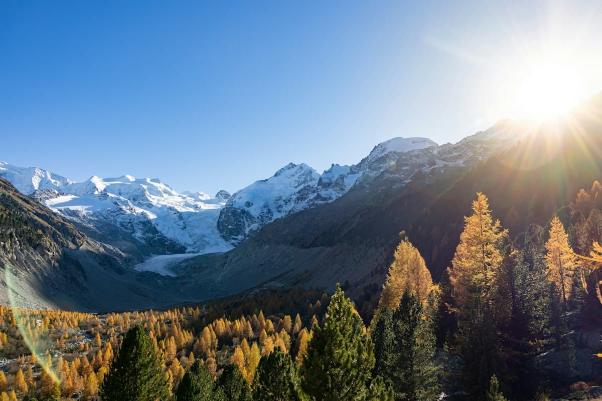
Seven hikes in the Queyras amid autumn colors: golden larches, high-altitude lakes and timber villages between 1,800 and 2,900 meters.
Best Hikes in the Aubrac: Pastures, Burons and the Camino de Santiago
Seven hikes across the Aubrac plateau: mountain pastures, stone burons, waterfalls and sections of the Camino de Santiago between Aveyron and Lozère.
Hiking in the Gard Garrigue, Beyond the Pont du Gard
Eight hikes in the garrigue of Gard, away from the Pont du Gard crowds: gorges, stone huts, hilltop villages and olive trails.