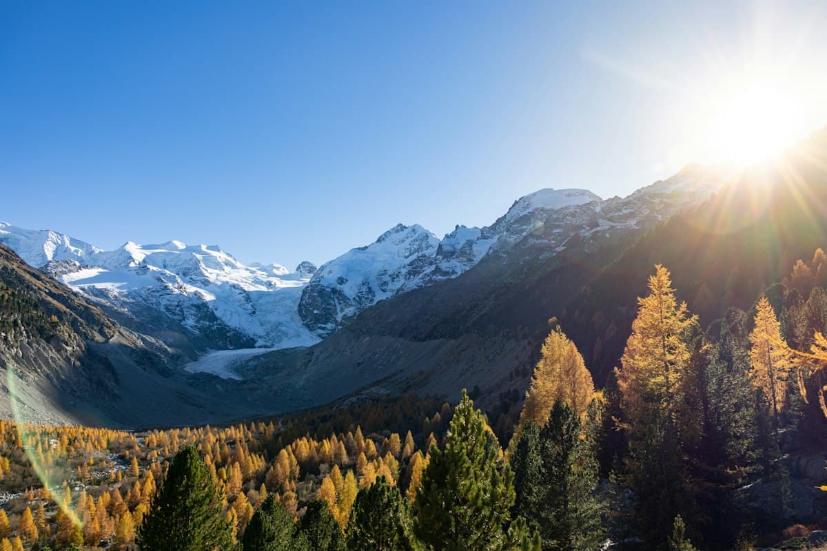
The Most Beautiful Hikes in the Queyras in Autumn
There is a precise, brief and unforgettable moment in the French Alps when the mountains turn to gold. That moment is the yellowing of the larch trees in the Queyras. For two to three weeks — usually between October 5th and 20th — the high-mountain forests shift from green to pale yellow, then to deep gold, before the needles fall. The spectacle is unique in Europe: the Queyras concentrates one of the continent's largest larch forests, and its trails offer viewpoints on this phenomenon that no other valley can match.
Here are the seven hikes not to miss this autumn to fully experience this brief window of color.
The Larch: Europe's Only Deciduous Conifer
Before lacing up your hiking boots, a botanical fact that changes everything about understanding the spectacle: the larch (Larix decidua) is the only native conifer in Europe that loses its needles each winter. This adaptation allows it to withstand the extreme winters of the inner Alps, where snowfall and sub-zero temperatures would otherwise persist on evergreen conifers until May.
This characteristic is what creates the "larchember" — the blending of larch and September/October — that hikers from around the world travel to witness in the Swiss, Austrian and French Alps. In the Queyras, the altitude of the forests (between 1,800 and 2,200 m) and the dry continental climate produce particularly intense colors: a luminous gold that the late-season sun makes almost surreal.
1. Lac de Roue from Arvieux
Level: difficult — 10.8 km — 292 m elevation gain
Starting with Lac de Roue is discovering the Queyras gently. The hike departing from Arvieux follows the Combe du Queyras torrent, crosses dense larch forests and reaches the lake at 2,227 meters altitude. In October, the shores are lined with gold, the lake mirrors the needles on its calm surface, and silence is broken only by the wind in the branches.
The return via the Souliers mountain chalets adds a pastoral dimension: alpages emptied of their herds, dark timber huts, stone crosses marking passes since the Middle Ages. This is a perfect hike for a first day in the valley, or for a family outing with children comfortable in the mountains.
What to bring: trekking poles for the descent on morning-damp scree, and a warm layer for the lakeside break where the wind can catch you off guard.
2. Lac de Souliers and Col Tronchet from Arvieux
Level: difficult — 9.7 km — 663 m elevation gain
A more physically demanding variant from the same starting point. Lac de Souliers at 2,484 meters is surrounded by grey cliffs that contrast with the golden carpet of larches below. The climb to Col Tronchet (2,637 m) rewards hikers with a panorama over the upper Durance and the Italian massifs.
Plan a full day and start early: in October, the sun disappears behind the ridges by 4:30 pm and temperatures drop quickly. A light softshell jacket and gloves become essential above 2,400 meters.
3. Col Agnel from Pontechianale
Level: moderate — 5.3 km — 306 m elevation gain
Col Agnel (Colle dell'Agnello in Italian) at 2,744 meters is the third-highest road pass in Europe. The hike leading there from the French side passes through Col Vieux at 2,806 meters — the border point between France and Italy — with views of Monte Viso, the distinctive peak that dominates the Po plain on clear days.
In autumn, the larches cover the slopes up to 2,200 meters altitude. Above begins the subalpine zone: close-cropped grassland, dwarf junipers, orange lichens on boulders. The contrast between the colorful lower vegetation and the bare upper rock is striking.
4. Saint-Véran via the Ridges and Chapelle de Clausis
Level: expert — 14.8 km — 920 m elevation gain
Saint-Véran is the highest permanently inhabited village in Europe (1,990 m), and the ridge trail connecting it to the Chapelle de Clausis is one of the finest in the massif. It crosses the high mountain chalets of the Combe du Queyras, follows ancient cairns and offers views over the Viso glaciers and the Écrins massif.
The village itself deserves an extended stop. The houses built from centuries-darkened larch timber, the sundials painted on facades, the medieval communal oven and the 17th-century church form an architectural ensemble unique in France. In October, the contrast between the dark facades and the golden forests below is spectacular.
For photographers: arrive in late afternoon for the raking light on the facades. A compact tripod is useful for long exposures at sunrise or sunset.
5. The Grand Canal Trail from Saint-Véran
Level: difficult — 11.9 km — 385 m elevation gain
Less well-known in hiking guides, this trail follows the ancient irrigation canal that supplied villages with water since the 16th century. It traverses larch forests along the hillside, with plunging views over Saint-Véran and the Guil valley below.
The trail's special quality: it remains at low altitude (between 1,900 and 2,300 m) and is therefore walkable until late October, even after the first snowfall on the summits. The larches here are at their finest between October 10th and 20th.
6. Pic de Molines from Molines-en-Queyras
Level: expert — 12.4 km — 855 m elevation gain
For experienced hikers seeking altitude, Pic de Molines and Col du Clot du Loup offer a 360° panorama over the massif. The Queyras valleys lie on one side, the Écrins on the other, with Monte Viso as backdrop and larch forests stretching to the horizon below.
Reserve this hike for high-pressure days: the route crosses exposed ridges where wind can be fierce from October onwards. Check the mountain weather forecast the evening before.
7. Chapelle Saint-Simon from Molines-en-Queyras
Level: difficult — 11.8 km — 549 m elevation gain
An atmospheric hike blending religious heritage with larch forests. Chapelle Saint-Simon, perched on its promontory above the village, has been a pilgrimage site since the Middle Ages. The trail climbs through dense woodland, then crosses alpages where chamois and marmots are still active before hibernation.
In autumn, this is also an excellent hike for birdwatching: the Queyras lies on the migration axis of raptors descending from the Alps toward the Mediterranean in September and October.
When Exactly to Go for the Colors
The golden window is short and depends on altitude and the year's conditions.
- Early October (Oct. 1–7): the first colors appear on the highest slopes (above 2,100 m). Larches at medium altitude are still partially green.
- Mid-October (Oct. 8–20): peak color, with forests entirely golden between 1,800 and 2,200 m. This is the ideal window for most hikes in this article.
- Late October (Oct. 21–31): needles begin to fall. Sheltered slopes retain their colors longer. Summits may be snow-covered.
To track the yellowing in real time, check local forums from mountain guides based in Guillestre or Molines-en-Queyras — they post weekly photos during the season.
Getting There and Logistics
The Queyras is accessible from Gap (1h30) or Briançon (45 min) via the D902. The Col Agnel road closes after significant early snowfall (usually mid-October or November). On weekdays outside school holidays, trailhead parking areas are lightly used — a welcome comfort for enjoying the colors in peace.
For overnight camping, the Queyras Regional Natural Park allows wild camping at least one hour's walk from roads and villages. A lightweight tent and a proper sleeping bag (nights drop below 0°C at altitude from September onwards) allow exploration from isolated base camps at elevation.
Further Reading
- The first autumn colors on the trail — the tour du Queyras in five days for longer immersion
As an Amazon Associate, we earn from qualifying purchases. Links marked with an external icon are affiliate links.
Related reading
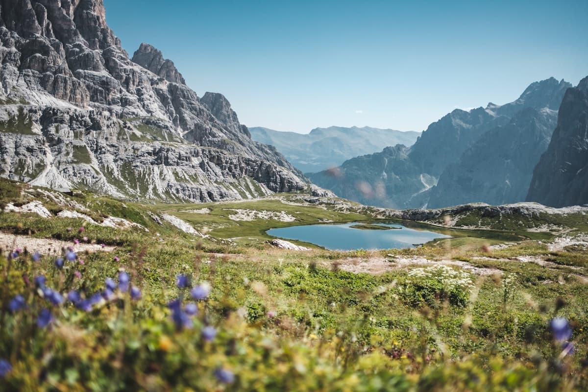
High-Altitude Hikes in the Ubaye Valley: 8 Routes to Stay Cool
Eight high-altitude hikes in the Ubaye valley to walk in the cool air at the end of summer: lakes, passes and ridges between 2,000 and 2,900 metres.
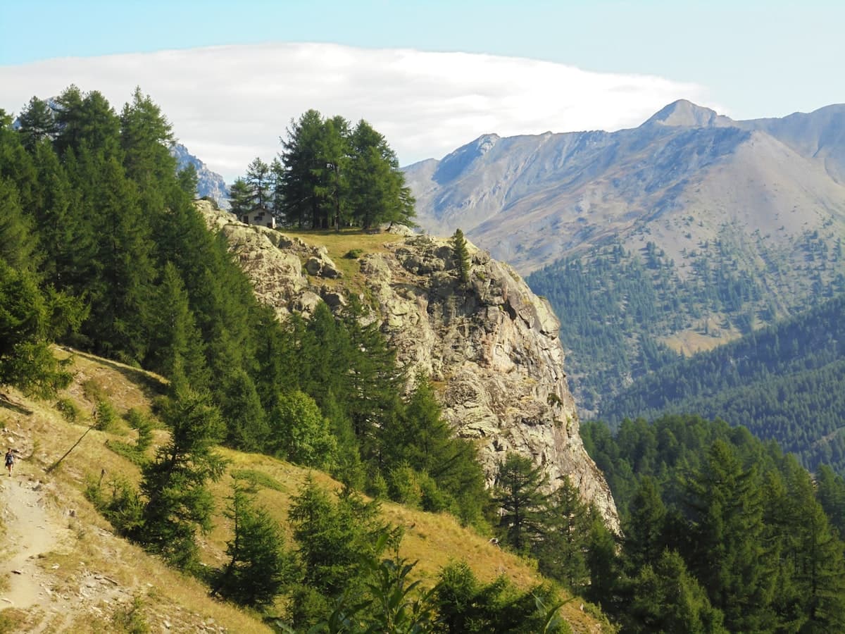
Itinerary: The Queyras Tour in 5 Days
Discover the Queyras Regional Natural Park on a 5-day hiking tour: from Arvieux to Ristolas via Saint-Véran, high-altitude lakes and the Italian border passes. Stages, elevation, accommodation and tips for an unforgettable trek in the Hautes-Alpes.
Best Hikes in the Aubrac: Pastures, Burons and the Camino de Santiago
Seven hikes across the Aubrac plateau: mountain pastures, stone burons, waterfalls and sections of the Camino de Santiago between Aveyron and Lozère.