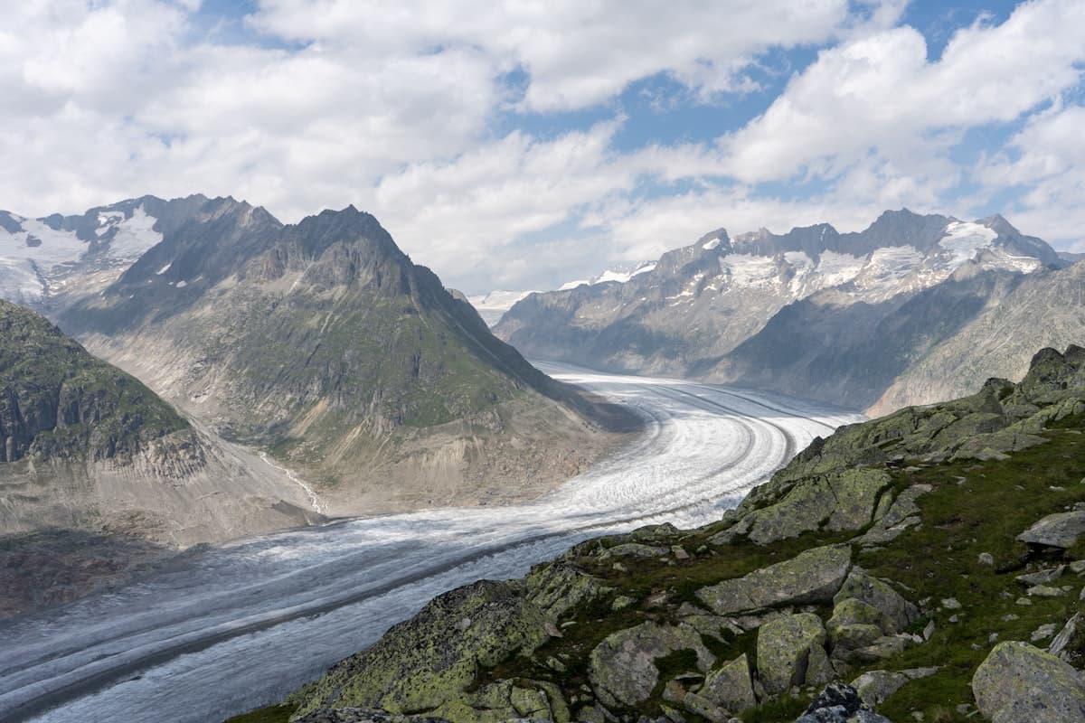
Itinerary: a 5-day tour of the Écrins massif
Four thousand two hundred metres of altitude, a hundred square kilometres of glaciers, passes that soar above 3,000 metres: the Écrins National Park is the most untamed alpine territory in France. Less crowded than Mont-Blanc, less beaten than the GR20, it rewards those who venture into it with landscapes of rare grandeur — jade-coloured high-altitude lakes, grey moraines beneath blue-tinged séracs, flower-dotted alpine meadows barely touched by the centuries.
This 5-day circuit crosses the massif from north to south, from the Guisane valley to the Valgaudemar, via the park's finest sectors: the Glacier Blanc, the Pilatte valley and Lac de Vallonpierre. Around 85 km, 5,000+ m cumulative elevation gain, two high-altitude refuges and a full traverse of the park — an itinerary for experienced hikers seeking a genuine alpine adventure.
The Écrins National Park: a brief introduction
Created in 1973 and covering 918 km², the Écrins National Park protects the highest massif in the Alps south of Mont-Blanc. The Barre des Écrins rises to 4,102 m — the highest peak in the Southern French Alps. The park shelters more than 120 glaciers, including the Glacier Blanc (the longest in the Southern Alps at 7 km) and the Glacier Noir, as well as emblematic wildlife: ibex, chamois and bearded vulture.
This is not an easy massif. Paths are often less marked than elsewhere, refuges are further apart and the weather can deteriorate rapidly. But that very ruggedness is what gives the Écrins its character — here, nature remains firmly in charge.
Preparation and logistics
Required level
This itinerary is for experienced hikers in good physical condition. Stages frequently exceed 1,000 m of elevation gain. Some sections, particularly above the Glacier Blanc or in the Pilatte valleys, require comfort on alpine terrain and heightened vigilance in poor weather.
When to go?
The ideal window runs from mid-July to mid-September. Before July, snowfields are widespread and some passes can be tricky without crampons. In September, nights at altitude are cool but days are often stable. Avoid the frequent thunderstorm periods (mid-August) for exposed sections.
Getting there
- By car: Le Monêtier-les-Bains is 12 km from Briançon on the N91. Parking at Les Guibertes (trailhead for most northern park itineraries). Leave your car at La Chapelle-en-Valgaudemar or arrange a shuttle.
- By train + bus: TGV to Briançon (Paris → Briançon in 6h30 via Oulx or Valence), then bus line 37 to Le Monêtier-les-Bains (30 min).
Accommodation
- Nights 1–2: Gîte or hotel in Le Monêtier-les-Bains, then Refuge du Glacier Blanc (CAF, 2,541 m — advance booking essential)
- Night 3: Refuge du Sélé (CAF, 2,511 m) or Saint-Christophe-en-Oisans
- Night 4: Gîte in La Chapelle-en-Valgaudemar
- Night 5: Return by car or transport
Book CAF refuges several weeks in advance in July–August. A place at the Glacier Blanc refuge is highly sought after.
Day 1 — Le Monêtier-les-Bains: acclimatisation in the Celse Nière valley
Distance: 15.7 km | Elevation gain: 1,134 m | Duration: 6h–7h
The first day serves as acclimatisation and an introduction to Écrins landscapes. From Le Monêtier-les-Bains (1,480 m), the path plunges into the Celse Nière valley, a wild hollow that climbs due south towards the Franco-Italian ridges.
The footbridge at the start crosses the Petit Tabuc torrent and launches the ascent through a spruce forest before opening onto grassy alpages scattered with gentians and arnicas. At 2,400 m, the scenery shifts: trees disappear, scree fields dominate and the first permanent snowfields appear on the ridges above. From the circuit's high point (around 2,700 m), the view plunges down to the Guisane valley on one side and out across the Écrins massif on the other.
Return to Le Monêtier in the late afternoon. This is a perfect approach stage: physical enough to begin altitude acclimatisation, short enough to arrive rested.
View the OpenRando trail — Boucle La passerelle - Vallon de Celse Nière — 15.7 km, 1,134 m elevation gain
Day 2 — Glacier Blanc: at the foot of the 4,000-metre peaks
Distance: 18.5 km | Elevation gain: 920 m | Duration: 6h–7h30
This is the centrepiece day of the circuit. From Le Monêtier-les-Bains, the path reaches Ailefroide (1,510 m) via the Col d'Arsine or road, then climbs towards the Glacier Blanc — the most extensive temperate glacier in the Southern Alps.
The ascent from Ailefroide is gradual: pasture, moraine, then the first blocks of ice emerging beyond a rise. The Refuge du Glacier Blanc (2,541 m) reveals itself above the glacial tongue, with the white pyramid of the Barre des Écrins (4,102 m) and the sharp ridge of the Pic sans Nom as a backdrop. In fine weather, the panorama is unrivalled in the Southern Alps.
Hikers without crampons and a rope should stay off the glacier itself. The moraine and marked paths to the viewpoint "terrace" are enough to spend an unforgettable day.
View the OpenRando trail — Boucle Vallee du Glacier Blanc — 18.5 km, 920 m elevation gain
Day 3 — Crossing to the Pilatte valley
Distance: 16.3 km | Elevation gain: 521 m (plus descent) | Duration: 6h–7h
The third day swings the circuit westward. From the refuge, the descent to Ailefroide is quick, then the path climbs towards Saint-Christophe-en-Oisans (1,480 m) — gateway to the La Bérarde valley.
From there, the ascent to the Porte du Glacier de la Pilatte reveals a high-mountain landscape rarely seen by non-climbers: a glacial cirque enclosed by the Pic de la Pilatte (3,638 m) and the Pic de Bonvoisin. The path follows the left moraine of the Pilatte Glacier, a dark and crevassed mass of ice descending to 2,200 m. It is a mineral, silent world, broken only by the deep rumble of the working glacier.
The Porte de la Pilatte (2,651 m) offers a vertiginous view over the massif. Night at Saint-Christophe-en-Oisans or the La Bérarde refuge.
View the OpenRando trail — Porte du Glacier de la Pilatte — 16.3 km, 521 m elevation gain
Day 4 — La Chapelle-en-Valgaudemar: the Lacs de Pétaret
Distance: 18.6 km | Elevation gain: 1,346 m | Duration: 7h–8h
Day four is the most demanding — and arguably the most beautiful. From La Chapelle-en-Valgaudemar (1,100 m), the Séveraisse valley plunges into the heart of the park amid cascades and forest.
The path climbs first through forest before breaking into the open meadows of the Haute Séveraisse. Then, in a seemingly endless false flat, it rises towards the Lacs de Pétaret — a series of high-altitude lakes nestled in a glacial cirque between 2,200 and 2,500 m. The water is an almost unreal translucent green, contrasting with grey walls and late-lying snowfields that persist even into August.
The Pont des Oules is a key moment: the torrent here tumbles through a narrow gorge in a roar of cascades. The return by an alternative spur offers different views over the valley and the Pic de Bonnefoy.
View the OpenRando trail — Boucle Le pont des Oules - Lacs de Pétaret — 18.6 km, 1,346 m elevation gain
Day 5 — Lac de Vallonpierre: the grand finale
Distance: 17.1 km | Elevation gain: 816 m | Duration: 5h30–6h30
The final day delivers a stunning conclusion. Lac de Vallonpierre (2,271 m) is one of the finest lakes in the Écrins park — a vast expanse of dark water framed by limestone cliffs and flower-filled meadows. The Refuge de Vallonpierre (CAF, 2,270 m), perched at the water's edge, is an icon of French alpine hiking: a staffed refuge, hot meals, views over the lake from dawn.
The path from La Chapelle climbs steadily over 1,000 m, crossing pastoral zones still alive with sheep and cattle before reaching the glacial threshold that conceals the lake. Arrival always carries an element of surprise, even when you know what's coming: the landscape switches suddenly from grassy hillside to this end-of-the-world scene.
The descent follows the Vallonpierre torrent, punctuated by cascades, before returning to La Chapelle-en-Valgaudemar in mid-afternoon — a gentle re-entry into civilisation.
View the OpenRando trail — Boucle Lac de Vallonpierre - Refuge de Vallonpierre — 17.1 km, 816 m elevation gain
Gear for 5 days in the Écrins
The Écrins massif is a demanding alpine mountain. Your gear must match the challenge:
- Footwear: High-ankle waterproof hiking boots are essential. The terrain combines scree, wet crossings and rocky sections — leave low-cut shoes at home.
- Backpack: a 40–50 litre pack for 5 days in refuges, with a change of clothes, first-aid kit and camera gear.
- Waterproof jacket: the mountains can cloud over in 20 minutes. A lightweight 3-layer waterproof jacket is the single most important item in your pack.
- Trekking poles: telescopic poles significantly reduce fatigue on long descents — a major asset over the circuit's 5,000+ m of elevation gain.
- Insulation layer: nights in refuges at 2,500 m are cool, even in July. Pack a lightweight compressible down jacket for the evenings.
- Hydration: water sources in the high mountains are plentiful, but a filtered water bottle is recommended for treating meltwater.
Variants and extensions
This 5-day circuit can be extended or modified according to your level and interests:
-
Lac de l'Eychauda: as an add-on to Day 1 or 2, a magnificent loop from Monêtier covering 16 km and 1,070 m, with a glacial lake less visited than the Glacier Blanc. View the trail — 16.0 km, 1,070 m elevation gain
-
Refuge du Sélé and Pelvoux: for a more ambitious variant, the Vallouise sector offers one of the massif's greatest glacial cirques, between the Pelvoux (3,943 m) and the Glacier des Violettes. View the trail — 19.5 km, 1,551 m elevation gain
Practical information
Waymarking and maps
The GR® 54 (Tour de l'Oisans et des Écrins) runs alongside much of the circuit described here. It is waymarked in red and white by the FFRandonnée. Download GPX tracks from OpenRando and also carry IGN map 3436 OT (Écrins) — weather conditions can make navigation challenging in fog.
Mountain safety
- Check PGHM Briançon and Mountain Forecast weather bulletins before each day
- Always inform someone of your route and planned timings
- CAF refuges have radio and can contact rescue services — don't expect mobile coverage above 2,500 m
Estimated budget (per person)
| Item | Estimate |
|---|---|
| 2 nights in CAF refuge | €80–120 |
| 2 nights in gîte/hotel | €70–130 |
| Meals on the circuit | €90–120 |
| Transport | €40–70 |
| Estimated total | €280–440 |
Before you go, explore all available hikes in the area on OpenRando — hundreds of trails across the Écrins National Park are waiting to extend your adventure.
Other multi-day itineraries to discover:
- Itinerary: the GR51 Balcons de la Méditerranée in 3 days
- Hikes in the Haut-Var and northern Verdon gorges
As an Amazon Associate, we earn from qualifying purchases. Links marked with an external icon are affiliate links.
Related reading
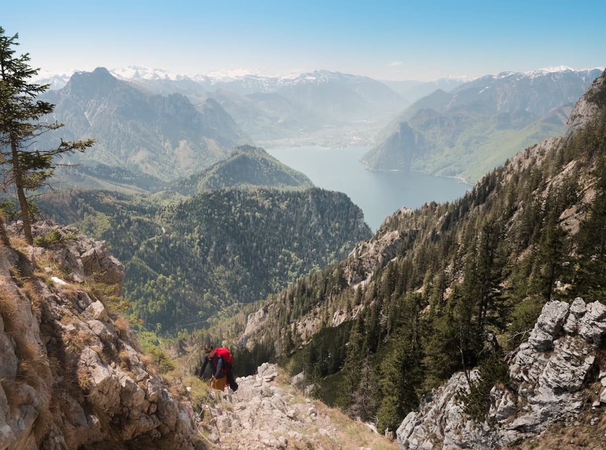
Itinerary: the Haute Route de la Vanoise in 4 days
Glacial refuges, high-altitude lakes and sweeping alpine panoramas: discover the Haute Route de la Vanoise in the Haute-Maurienne over 4 days, from Aussois to the Mont-Cenis plateau.
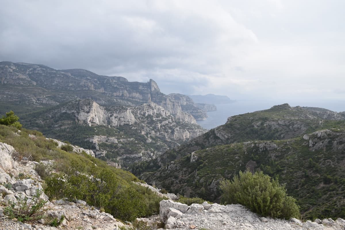
Itinerary: the GR51 Balcons de la Méditerranée in 3 days
Turquoise calanques, the ancient Sainte-Baume forest and Pagnol's beloved Garlaban hills: hike the GR51 Balcons de la Méditerranée in 3 days, from Marseille to Aubagne through Provence's most breathtaking landscapes.
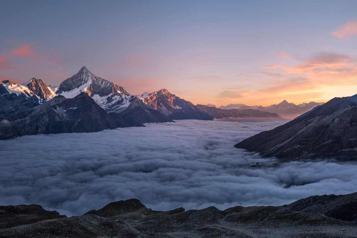
Mountain Refuges in Provence-Alps: Where to Sleep on the Trails
Staffed refuges, unmanned shelters, trail lodges… Discover where to sleep in the mountains of the Southern Alps and Provence for multi-day hiking adventures.