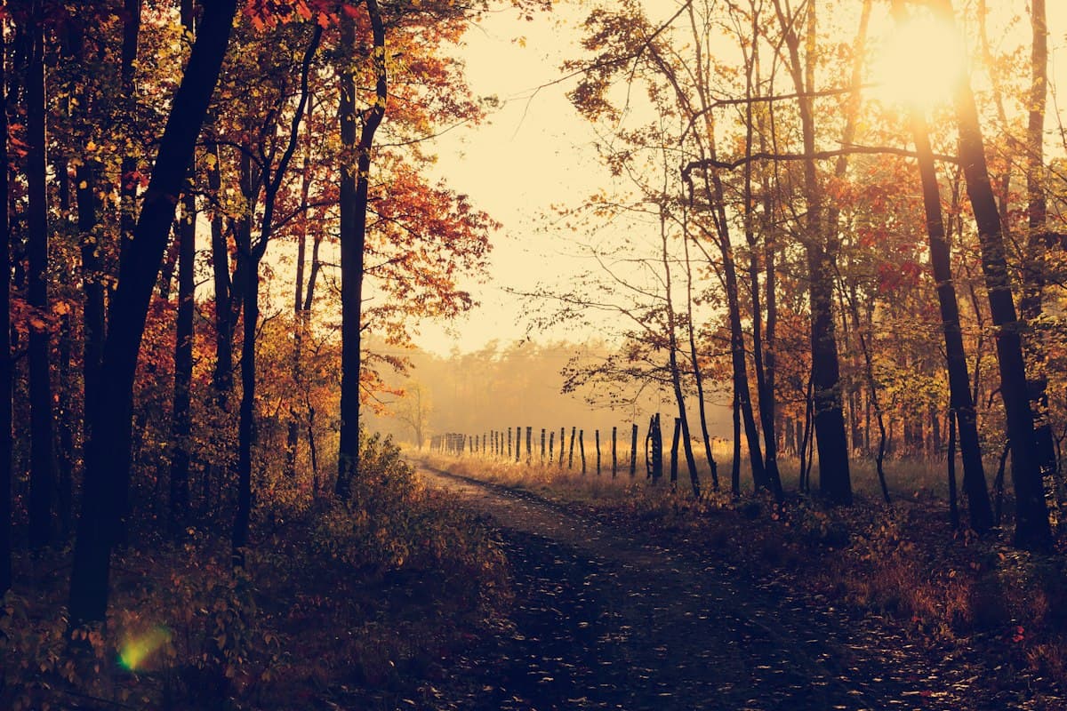
Remembrance Day: 6 memorial hiking trails tracing the footsteps of History
Remembrance Day naturally invites reflection. But there is a more active, more embodied way to pay tribute to those who lived through the wars: walking in their footsteps. Memorial trails are not simply marked paths. They are spaces where the landscape itself speaks — ridgelines scarred by shells, forests replanted over former battlefields, stone plaques at the bend of a track. Here are six hikes to approach History through the soles of your boots.
Walking on a battlefield
Before you set out, a methodological note: a memorial trail requires different preparation from an ordinary hike. Distances are often short, but the density of the terrain slows you down. Allow time to read the information panels, to study the ground — often pitted, irregular, uneven where other landscapes are smooth. A good topographic map and a pair of compact hiking binoculars help you read the landscape in depth.
The IGN 1:25,000 map remains the reference tool. For protected or heavily visited areas, local tourist offices often provide free educational booklets that complement the map.
1. Hartmannswillerkopf in the Vosges
The Vieil Armand, as French soldiers called it, is one of the most charged summits in the Alsatian Vosges. The peak (956 m) changed hands twenty-two times between 1914 and 1918. The Franco-German national memorial inaugurated in 2017 stands here — the only binational memorial of the Great War.
Route: from the Crête car park, ascend to the summit via the marked historical trail (45 min, 250 m elevation gain). The path runs alongside preserved trenches and blockhouses beneath the vegetation. Clear-day views extend across the Alsace plain to the Alps. Descend via the Sentier des Chasseurs for a full 8 km loop.
Bring along: the booklet published by the Hartmannswillerkopf association, available at the memorial, explains the phases of the battle sector by sector. Telescopic trekking poles are recommended on the rocky descents.
2. The trails of Verdun
Verdun names a 300-day battle that killed 300,000 people. The landscape still bears the scars of fighting of unimaginable violence: the Zone rouge, land still unfit for agriculture; military cemeteries dotting the hills; and mine craters permanently reshaping the topography.
The Voie Sacrée route: this is not a pedestrian path but a historic road (D1916) linking Bar-le-Duc to Verdun. Walking sections exist from Verdun itself. The forts circuit (Douaumont, Vaux) covers 12 km from the Mémorial de Verdun, with stops at the ossuary and reconstructed trenches.
Practical advice: the forests around Verdun may still contain unexploded ordnance. Stay strictly on marked paths. Access to the Bois des Caures — site of Colonel Driant's resistance on 22 February 1916 — is open but must be approached with care.
3. The Glières Plateau (Haute-Savoie)
The Glières plateau, at 1,400 m in the Bornes massif, is one of the most significant sites of the French Resistance. In March 1944, 465 maquis fighters held it for two months against German forces and the Milice. The national Resistance memorial, a work by Émile Gilioli, has watched over this vast alpine plateau since 1973.
Plateau hike: from Entremont-le-Vieux, climb via the Pas de l'Ours (2 hrs, 700 m elevation gain). The plateau offers a 360° view over the Aravis, Bargy and Fiz ranges. The souvenir trail follows the former maquis camp positions. A plaque marks the command post of Lieutenant Tom Morel. Return descent via the Pas de la Cochette.
Recommended gear: in November, the plateau may be snow-covered. Pack lightweight gaiters and waterproof boots with solid grip. Weather conditions can change rapidly at this altitude.
4. The Resistant Vercors
The Vercors is a natural fortress — a limestone massif cut by gorges, accessible via a few winding roads. In July 1944, 4,000 resistance fighters proclaimed the Republic of the Vercors before being crushed by Operation Bettina. The villages of Vassieux-en-Vercors and La Chapelle-en-Vercors still bear the scars of that repression.
Vassieux memorial trail: from the Resistance Museum in Vassieux (not to be missed — allow 90 minutes), a 6 km trail circles the village's martyr sites. Interpretive panels line the route. Access to the German glider landing site (a partially visible Ju 52 remains there) is included.
Vercors plateau circuit: for a longer hike, the Combe Laval circuit (12 km from Col de la Machine) descends into the gorges while following the historic via ferrata used by resistance fighters for supply runs. Check OpenRando's Explore section for available GPX tracks in the area.
5. The military cemeteries of the Vosges
The Vosges massif contains several dozen military cemeteries, often overlooked because they are less well-known than those of the Somme or the Meuse. The Vieil-Armand sector (see section 1) concentrates several of them, but the Schlucht and Hohneck area offers the most interesting combinations of hiking and remembrance.
Hohneck circuit: from the Schlucht pass, ascend to the Hohneck (1,362 m, the Vosges' high point, 2 hrs return). The route follows the GR 5 Sentier des Crêtes. Several commemorative plaques are scattered along the way. This area is also covered in our article on hiking in the Vosges.
6. Reading the traces in the landscape: trenches, craters, blockhouses
Reading the landscape is a skill in itself. On a former battlefield, certain clues allow you to reconstruct the layout of the lines:
- Craters: circular depressions left by mines or heavy-calibre shells. In the Meuse forests, some still measure 10 to 15 metres across.
- Truncated ridgelines: ridge crests were often cut to install observation or firing positions. An irregular profile on a topographic map should catch your attention.
- Replanted forests: state forests on former battlefields were replanted from the 1920s onward. They are often the same age, with unusual alignments.
- Blockhouses: built in concrete between 1914 and 1944, they resist erosion and are often visible off the trails. Never enter them — risk of collapse.
For a deeper reading of the landscape, Jean-Yves Le Naour's book La Terre qui ne ment pas (Perrin, 2020) is an excellent reference. A lightweight headlamp is useful for guided visits to accessible blockhouses.
Going further
These six sites are only an entry point into a much broader network of places. All Saints' Day and Remembrance Day are particularly well-suited moments for this kind of hike — forests are cleared by the first frosts, the light is low and raking, and the trails are quieter. If you are looking for other heritage itineraries in Provence or the Southern Alps, see our guide to All Saints' and heritage hikes.
OpenRando's Explore section lists hundreds of hikes across France, with filters for area, difficulty and elevation gain. Several GPX tracks in the Vercors, the Vosges and the Jura are available for direct download.
As an Amazon Associate, we earn from qualifying purchases. Links marked with an external icon are affiliate links.
Related reading
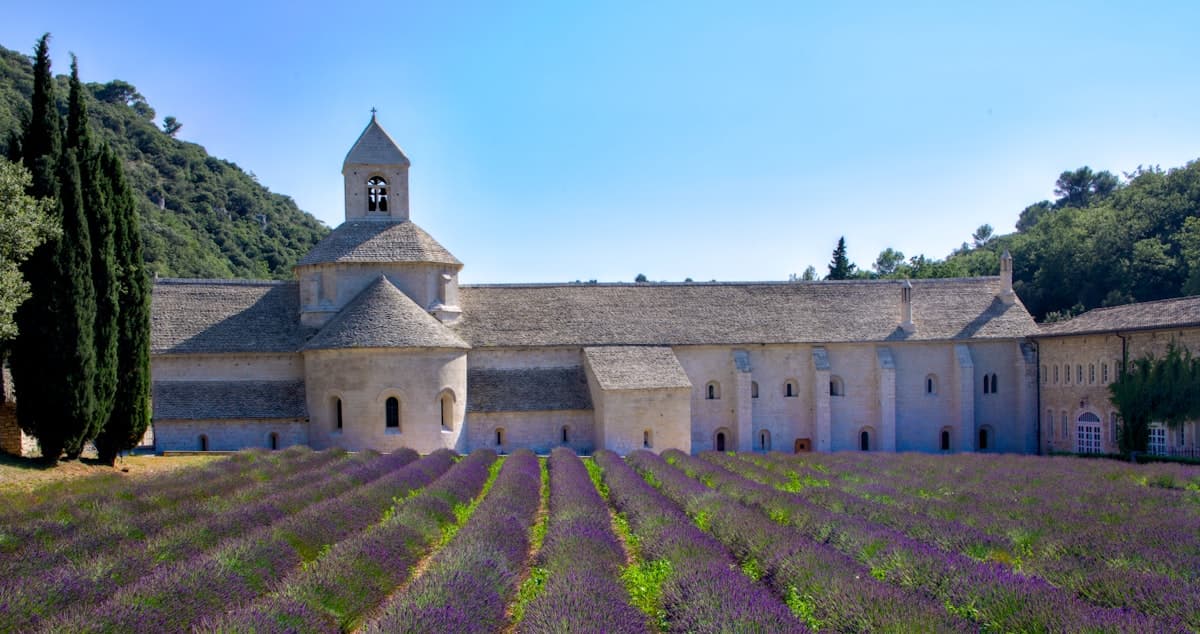
Hiking in Provence: 8 Heritage Trails
Senanque Abbey, Boulbon castle, Sainte-Victoire priory: eight hiking trails through Provence's heritage, from garrigue to hilltop villages.
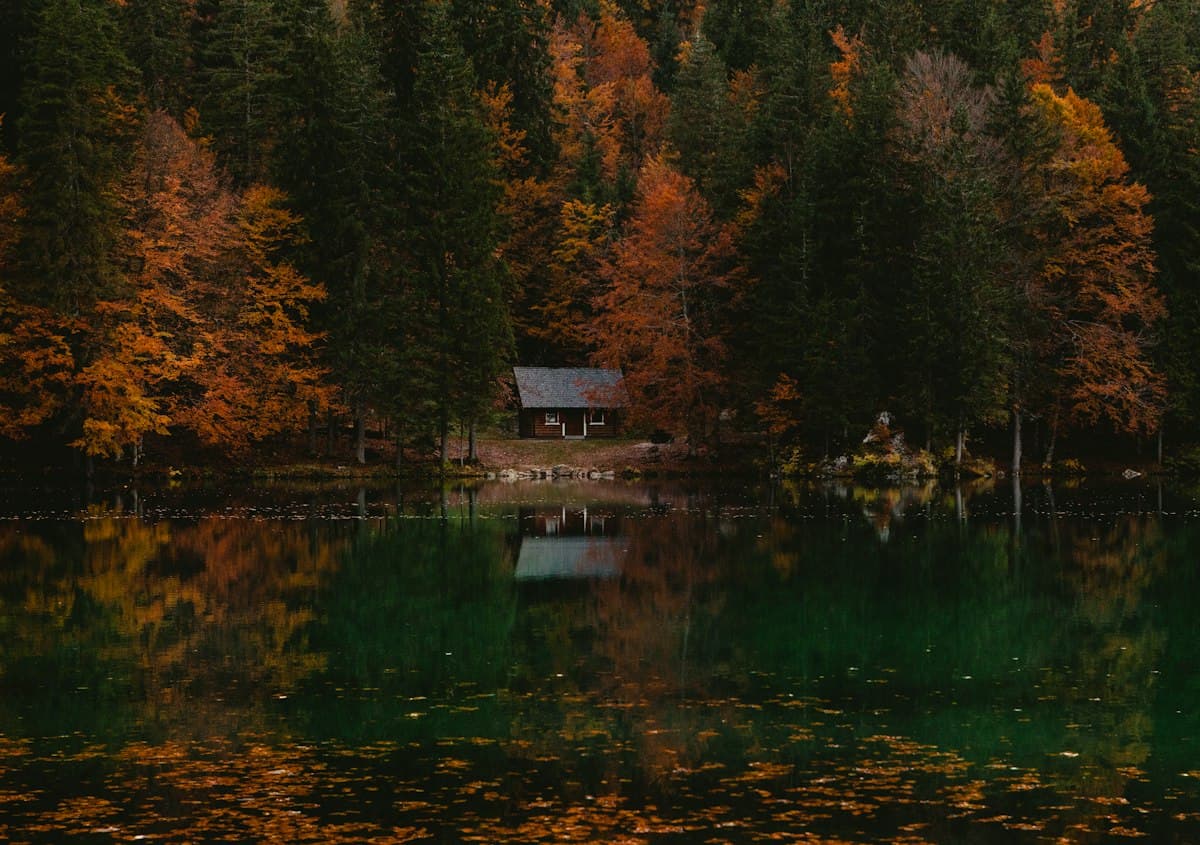
The Best Hikes in the Vosges Mountains
Eight hikes in the Vosges: summits, glacial lakes, highland meadows and ridge trails, through France's most spectacular autumn beech forests.
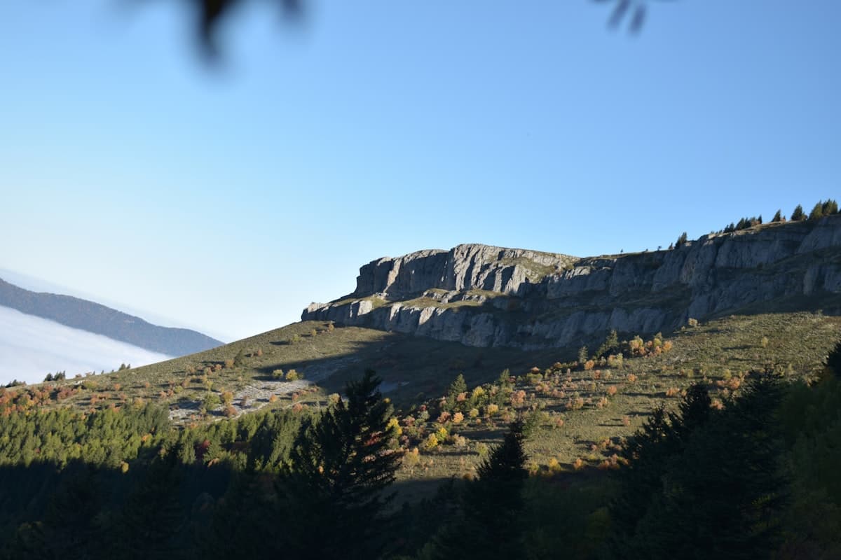
Itinerary: Crossing the Vercors in 4 Days
Crossing the Vercors in four days: stages, elevation profiles, refuges and mountain huts, rare water sources and GPX tracks for each day. A complete guide to the Hauts Plateaux traverse on the GR91.