Hiking in Provence: 8 Heritage Trails
Provence is one of France's most historically rich regions. Cistercian abbeys hidden among lavender fields, medieval castle ruins perched on limestone cliffs, Romanesque chapels buried in the garrigue, caves steeped in legend — every trail here is also a journey through time. Hiking in Provence means following in the footsteps of monks, troubadours and shepherds who shaped these landscapes since the Middle Ages.
Here are 8 hikes that combine the best of Provence's natural beauty and its cultural heritage, with routes all available on OpenRando for GPX downloads and on-the-ground photos.
Why Hike for Heritage in Provence?
The garrigue and hills of Provence conceal an archaeological and architectural richness that tourist roads often bypass entirely. On foot, you can reach sites that only hikers see: abbeys isolated in roadless valleys, chapels tucked into cliff faces, Gallo-Roman oppida on windswept ridges, centuries-old windmills silhouetted against the sky.
The terrain itself tells a geological and human story: the calanques and limestone cliffs, riddled with caves, served as shelters for prehistoric humans, refuges for medieval hermits and quarries for cathedral builders. Every stone on the path carries a memory.
Provence also offers remarkable landscape diversity — thyme-and-rosemary-scented garrigue, white oak forests, lavender plateaux, terraced vineyards — that enriches each outing with an incomparable sensory palette. To fully enjoy these sun-exposed limestone trails, a solid high-SPF sports sunscreen and plenty of water are essential.
The 8 Historical Trails
1. Sénanque Abbey Loop from Gordes
View OpenRando Track — Sénanque Abbey Loop — 17.9 km, 444 m elevation gain
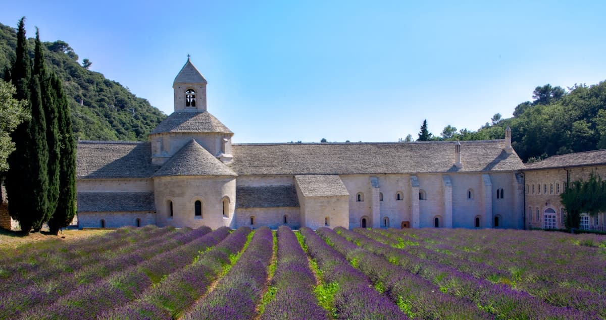
Sénanque Abbey is perhaps Provence's most iconic image: this 12th-century Cistercian monastery, nestled in a narrow valley between lavender fields, seems suspended outside of time. The loop from Gordes descends through garrigue trails to the abbey, follows the Sénancole river through a wooded gorge, then climbs back to the hilltop village.
The Cistercian monks, faithful to Saint Bernard's rule, chose this isolated site in the 12th century for its simplicity and silence. The abbey is still home to an active monastic community — the guided tour, available outside peak season, reveals a cloister of sober elegance, Romanesque columns and architecture deliberately free of ornament. The hike approaches the site from a perspective that the tourist road never offers.
Level: Intermediate | Duration: 5 h | Start: Gordes village car park
2. Sainte-Victoire Priory and Croix de Provence from Vauvenargues
View OpenRando Track — Sainte-Victoire Priory Loop — 14.9 km, 660 m elevation gain
Sainte-Victoire mountain is inseparable from Cézanne, but long before the Impressionist painter, eight centuries of medieval history unfolded on its slopes. The Priory of Notre-Dame de la Victoire, founded in the 14th century, clings to the white limestone ridge at 1,000 m. A short distance away, the Croix de Provence towers over the Aix plain at 946 m.
This demanding hike from Château de Vauvenargues (where Pablo Picasso is buried in the park) climbs through pine forests via a switchback trail before reaching the ridge. On a clear day, the panorama from the Croix de Provence — the Aix plain, the Berre lagoon, the sea, the Maures massif — is exceptional. High-ankle waterproof hiking boots are strongly recommended on the mountain's limestone slabs.
Level: Difficult | Duration: 6 h | Start: Château de Vauvenargues
3. Saint-Probace Chapel and Gorges du Caramy from Tourves
View OpenRando Track — Saint-Probace Chapel Loop — 18.0 km, 472 m elevation gain
This loop through the Var hinterland is one of the most secluded in our selection. The Saint-Probace Chapel, tucked into the forest between Tourves and Brignoles, is an 11th-century Romanesque building whose reddish stone walls seem to emerge from the trees. The trail then descends into the Gorges du Caramy, a limestone canyon with vertiginous walls carved by a fresh-running river — a cool refuge in the summer heat.
The Gorges du Caramy also contain rock shelters and traces of prehistoric occupation, evidence of human presence far predating the medieval chapel. In June, the springs feeding the Caramy are running at full flow and the gorge vegetation is lush. Bring a filter water bottle so you can refill directly from the river.
Level: Intermediate | Duration: 5–6 h | Start: Tourves, church car park
4. Montagnette and Boulbon Castle Ruins
View OpenRando Track — Montagnette / Boulbon Castle Loop — 15.0 km, 221 m elevation gain
The Montagnette is a small limestone range between Tarascon and Avignon, modest in altitude (max 201 m) but extraordinarily rich in heritage. This accessible loop from Boulbon follows the Montagnette cliffs before reaching the medieval castle ruins of Boulbon, perched on a rocky spur overlooking the Rhône corridor.
The village of Boulbon itself is worth exploring before or after the hike: its medieval lanes, 12th-century church and golden limestone houses are remarkably well preserved. The Montagnette's dense aromatic garrigue is home to wild boar, ocellated lizards and raptors — common buzzards and kestrels hovering over the cliffs. This is the perfect hike for a beginner or a family day out.
Level: Easy | Duration: 4 h | Start: Boulbon village car park
5. Cliffs, Rock Shelters and Lagnes Castle
View OpenRando Track — Lagnes Cliffs and Castle Loop — 16.3 km, 564 m elevation gain
Between the Luberon and Fontaine-de-Vaucluse, the area around Lagnes hides limestone cliffs honeycombed with rock shelters bearing evidence of prehistoric and medieval occupation. This loop crosses these troglodyte cliffs before climbing to the ruins of Lagnes medieval castle, which provide a remarkable viewpoint over the Calavon plain and the Vaucluse plateau.
The path passes dry-stone bories — dome-roofed shepherd shelters — and the crumbling walls of terraces abandoned in the 19th century, witnesses to an intensive agriculture that has since vanished. The climb to the castle is fairly steep; lightweight trekking poles make progress easier on the rocky slopes.
Level: Intermediate to Difficult | Duration: 5–6 h | Start: Lagnes village car park
6. Mary Magdalene's Grotto and Saint-Pilon Chapel from Riboux
View OpenRando Track — Grotte Sainte-Marie-Madeleine Loop — 15.2 km, 594 m elevation gain
This is the most spiritually charged hike in our selection. The Grotte de Sainte-Madeleine in the Sainte-Baume massif is a sanctuary carved into a cliff face at over 1,000 m altitude, associated by Christian tradition with Mary Magdalene since the 9th century. Millions of pilgrims — including French kings — have made this journey since the Middle Ages. The Saint-Pilon Chapel (1,147 m), reached via a GR trail from the grotto, offers a breathtaking panorama over the Mediterranean, the Marseille plain and the Var ranges.
This demanding hike from Riboux climbs through forest trails before reaching the Sainte-Baume cliffs. The path from Plan d'Aups to the grotto via the "Chemin des Roys" is a legally protected historic route. Come fully prepared: the limestone walls of the Sainte-Baume create their own microclimate — cool and damp even in summer.
Level: Difficult | Duration: 6–7 h | Start: Riboux
7. Views over Gordes and Sénanque Abbey from Cabrières-d'Avignon
View OpenRando Track — Gordes Views / Sénanque Loop — 16.3 km, 405 m elevation gain
This loop from Cabrières-d'Avignon offers a different angle on Sénanque Abbey and the village of Gordes. The trail crosses the garrigue plateaux of the western Luberon, passes within sight of the famous hilltop village (one of France's "Most Beautiful Villages") then descends into the Sénanque valley to approach the abbey from above.
The contrast between the golden stone of Provençal farmhouses, the lavender fields in bloom in July and the white limestone façade of the Cistercian abbey is striking. In the late afternoon, after the tour buses have left Gordes, the golden light on the village walls is a reward in itself. Pack a 25–30 litre daypack for water, lunch and a windproof layer — conditions can change quickly on the Vaucluse plateaux.
Level: Intermediate | Duration: 5 h | Start: Cabrières-d'Avignon
8. Old Mérindol Castle and the Forest of Cedars
View OpenRando Track — Mérindol Castle / Cedar Forest Loop — 15.2 km, 532 m elevation gain
This western Luberon hike carries a weight of tragic memory. Mérindol was the scene in 1545 of the Mérindol Massacre, one of the most brutal persecutions of the Provençal Waldensians ordered by the Aix Parliament. The old castle of Mérindol, of which only impressive ruins remain on a limestone spur, silently overlooks a ghost village razed during those events.
The trail climbs from Mérindol to the castle ruins, then continues to the Luberon ridge and the Forest of Cedars — a stand of Atlas cedars planted in the 19th century that provides merciful shade in summer and spectacular views across the Luberon. This route weaves together human history, architectural heritage and natural beauty in a uniquely moving way.
Level: Intermediate to Difficult | Duration: 5–6 h | Start: Mérindol
Practical Tips for Hiking Provence's Historical Trails
When to Go
- April–June: the best period. The garrigue vegetation is lush, wildflowers perfume the air (thyme, rosemary, cistus), lavender hasn't yet bloomed (except at altitude from late June) and the heat is still manageable.
- July–August: reserve for high-altitude hikes (Sainte-Victoire, Sainte-Baume) or shaded gorges. Start no later than 8 a.m. to avoid the afternoon heat.
- September–October: golden light on the limestone, grape harvests in the vineyards, fewer crowds. The ideal season for photographers.
- November–March: some trails may be icy at altitude. But the winter garrigue, under a blue sky swept clean by the mistral, has an incomparable clarity.
What to Bring
Provence's limestone trails can be slippery and exposed. Always pack:
- Shoes with good grip — dry limestone slabs can be surprisingly treacherous.
- Plenty of water: in summer, count on 1.5 litres per hour of effort. Fountains are rare on the plateaux.
- A lightweight windshell: the mistral can spring up suddenly on ridges even in midsummer.
- An IGN 1:25,000 map or the GPX track downloaded offline on your navigation app.
Explore Provence's Heritage with OpenRando
All the hikes featured in this article are available on OpenRando with GPX tracks, elevation profiles and on-the-ground photos. You can filter by region, level and elevation gain to find the outing that suits you best.
To continue exploring Provence on foot, check out our articles on hiking in the Upper Var and northern Verdon gorges and our Sainte-Victoire mountain itinerary.
As an Amazon Associate, we earn from qualifying purchases. Links marked with an external icon are affiliate links.
Related reading
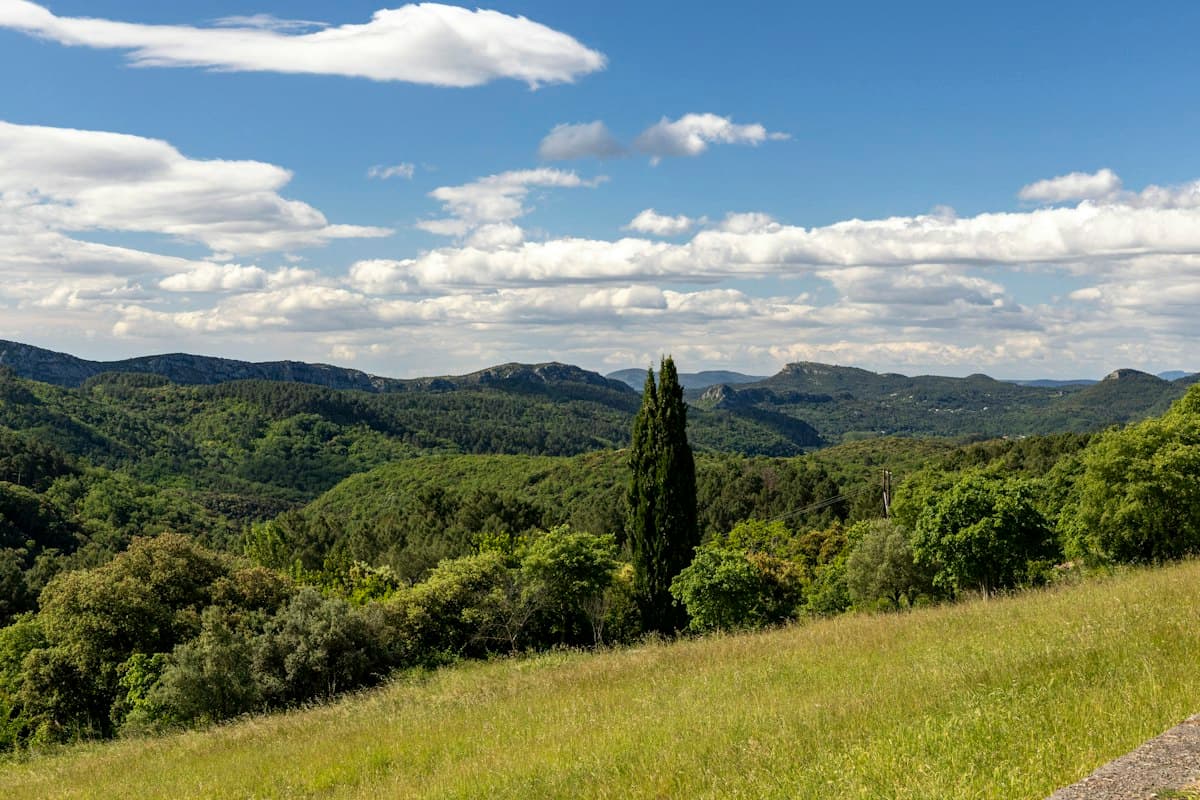
Easy Hikes around Aix-en-Provence: Concors, Trevaresse and Arbois
Eight easy hikes around Aix-en-Provence beyond Sainte-Victoire: discover the Concors, Trevaresse, Arbois plateau and Vauvenargues hills.
Hiking in the Monts de Vaucluse: Gorges, Bories and Lavender Plateaus
Seven hikes in the Monts de Vaucluse: combes, bories, faded lavender plateaus and perched villages between Sault and Gordes.
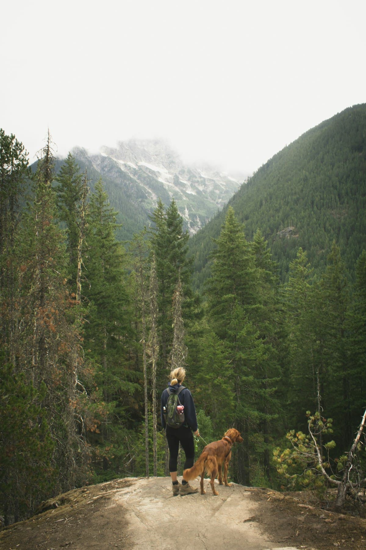
Hiking with your dog: the complete guide
Everything you need to know about hiking with your dog: gear, regulations, heat safety and 8 dog-friendly trails in Provence. The complete guide for successful hikes with your faithful companion.