Hiking Mont Sainte-Victoire: 8 Routes for All Levels
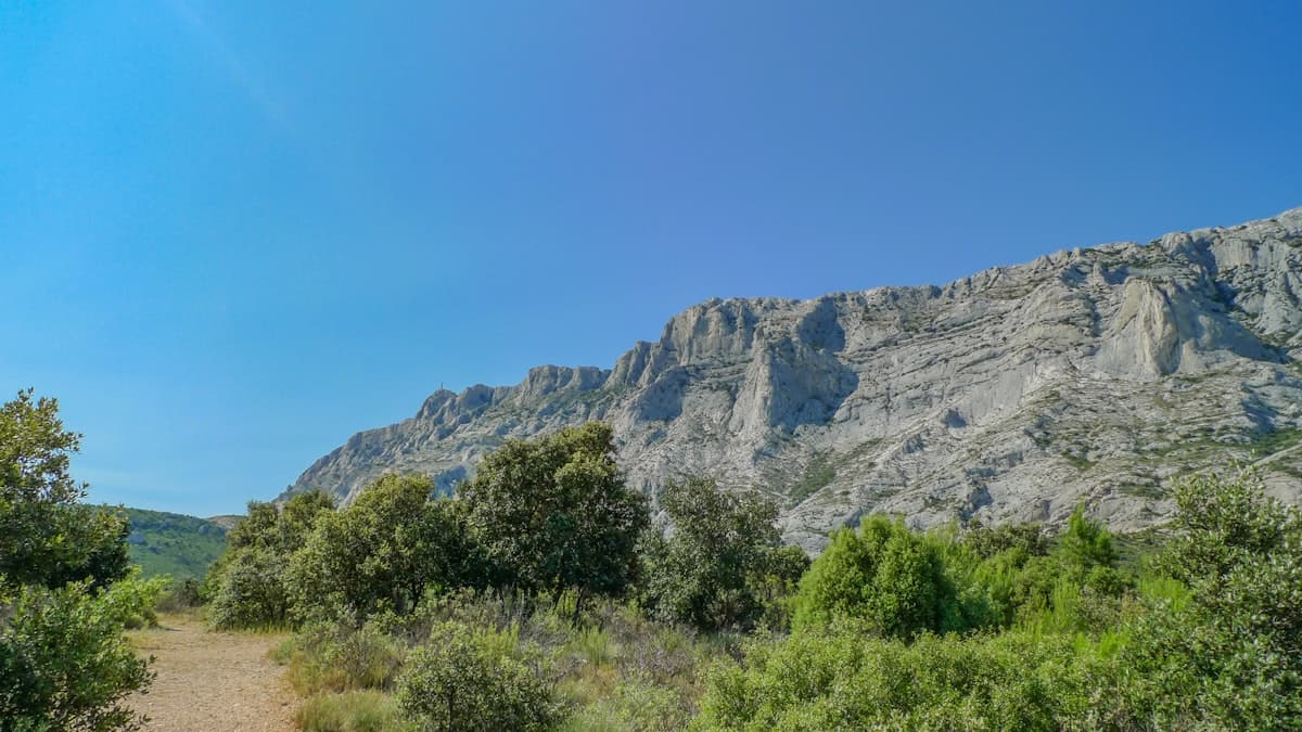
East of Aix-en-Provence, a white limestone ridge rises above the pine forests and vineyards like a wall of light. Mont Sainte-Victoire — 1,011 m at Pic des Mouches, its highest point — is one of France's most recognisable landscapes, made universal by the brush of Paul Cézanne, who painted it more than 87 times throughout his life. But behind the artistic icon lies an exceptional hiking destination: vertiginous limestone cliffs, fragrant pine forests, 360° panoramas over Provence all the way to the Alps, and trails suited to beginner walkers and seasoned hikers alike.
In this guide we present 8 routes for exploring Sainte-Victoire from every angle — starting from Beaurecueil, Vauvenargues, Saint-Antonin-sur-Bayon and Puyloubier. Each loop is available on OpenRando with downloadable GPX tracks, elevation profiles and field photos.
Sainte-Victoire: A Massif of a Thousand Faces
Sainte-Victoire is a limestone massif running east–west for about fifteen kilometres. Its northern face, sheer and mineral, drops towards Vauvenargues; its southern face, gentler and more wooded, slopes gradually down towards Beaurecueil and Puyloubier. Between these two flanks, the summit plateau — the Crête des Trois Sauts — offers an exceptional aerial walkway between the Prieuré de Sainte-Victoire to the east and the Croix de Provence to the west.
The massif has held Grand Site de France status since 2004 and is subject to strict conservation rules: fires are prohibited year-round, access is restricted from June to September during fire-risk periods (generally 13:00–23:00), and dogs must be kept on a lead at all times. Before each outing, check the Bouches-du-Rhône Prefecture website for any access restrictions in force.
The 8 Recommended Routes
1. Croix de Provence Loop from Saint-Antonin-sur-Bayon
View the OpenRando route — 18.6 km, 1,038 m elevation gain
This is the most demanding of Sainte-Victoire's loops — and probably the most beautiful. Starting from Saint-Antonin-sur-Bayon at the western end of the massif, it climbs due east along the northern face on a steep path threading between cliffs and garrigue scrubland. After sustained ascent, you reach the Croix de Provence (945 m), the iconic landmark on the ridge: the panorama over Aix-en-Provence, the Étang de Berre and the Alpilles is breathtaking.
The loop then descends onto the southern face, weaving through pine forests and vineyards before climbing back to the start. A demanding outing, best reserved for hikers accustomed to significant elevation gain. Aim for an early start (7:00–8:00) in summer to beat the heat and access restrictions.
Level: difficult | Duration: 5–6 h | Start: Saint-Antonin-sur-Bayon
2. Prieuré–Croix de Provence Loop from Vauvenargues
View the OpenRando route — 16.9 km, 771 m elevation gain
Vauvenargues — the village where Pablo Picasso is buried in the castle grounds — is also one of the finest starting points for Sainte-Victoire. This loop climbs to the Prieuré, a 16th-century hermitage perched on the ridge at 994 m, then traverses the entire summit plateau to the Croix de Provence before descending the northern face.
The traverse of the ridge over roughly 5 km is the most spectacular section: to the left, sheer cliffs dropping to Vauvenargues; to the right, plunging views over the vineyards and pine forests of the southern slope. The path follows the ridgeline with exposed sections (no danger if you stay on the GR, but not recommended for those with vertigo).
Level: difficult | Duration: 5 h | Start: Vauvenargues
3. Prieuré–Croix de Provence Loop from Château de Vauvenargues
View the OpenRando route — 14.9 km, 660 m elevation gain
This variation starting from the Château de Vauvenargues car park shortens the loop slightly and offers a more easily accessible starting point. The route uses the same spectacular ridge sections between the Prieuré and the Croix de Provence but in a slightly condensed form that suits intermediate hikers keen to experience the summit plateau without committing to excessive elevation gain.
In autumn, when the chestnut trees around Vauvenargues turn russet, this starting point is particularly beautiful. High-ankle hiking boots are recommended on the ridge sections where the limestone terrain can be unstable.
Level: intermediate to difficult | Duration: 4–5 h | Start: Château de Vauvenargues
4. Croix de Provence Loop from Beaurecueil
View the OpenRando route — 14.4 km, 662 m elevation gain
Beaurecueil, a charming village on the southern face, is the most popular starting point for reaching the Croix de Provence. The route follows the mythical Chemin des Venturiers, an ancient pilgrimage path marked in yellow, which climbs steeply in switchbacks through the pine forest to the ridge. The ascent is direct and unflinching: allow 1.5–2 hours to reach the summit depending on your pace.
From the Croix de Provence (945 m), the view sweeps across the Aix plain, the Alpilles, the Étang de Berre and, on a clear day, the summit of Mont Ventoux. The loop descends by an alternative path before rejoining the lower pine forests. Ideal as a first introduction to the massif.
Level: intermediate | Duration: 4 h | Start: Beaurecueil
5. Barrage Zola–Panorama Loop from Saint-Marc-Jaumegarde
View the OpenRando route — 12.6 km, 293 m elevation gain
For hikers who want to discover the Sainte-Victoire foothills without venturing onto the ridge, this loop from Saint-Marc-Jaumegarde is an excellent family option. It circumnavigates the Barrage Zola — built between 1847 and 1854 by engineer François Zola, father of the novelist Émile Zola — and offers constant views of the massif's sheer northern limestone face from below.
The modest elevation gain (293 m) and absence of technical sections make this the ideal route for introducing children to Sainte-Victoire, or for a peaceful Sunday stroll. The dam and its reservoir add a touch of romantic industrial heritage to the Provençal landscape.
Level: easy | Duration: 3–4 h | Start: Saint-Marc-Jaumegarde
6. Pic des Mouches–Chapelle Saint-Ser Loop from Puyloubier
View the OpenRando route — 12.6 km, 799 m elevation gain
At the eastern end of the massif, Puyloubier is the gateway to Pic des Mouches (1,011 m), the highest point of Sainte-Victoire. This loop combines the ascent of the peak — with its 360° panorama over the Alps, the Luberon and the sea — with a descent to Chapelle Saint-Ser, a medieval hermitage clinging to the cliff in a stunning setting.
The Chapelle Saint-Ser is one of the massif's hidden gems: carved into the living rock beneath a limestone overhang, it dates from the 11th century and houses a statue of the Virgin Mary. Pack a picnic — the stone tables at the foot of the chapel are perfect for a breather after the ascent. A light 20 L day pack is sufficient for a full-day outing.
Level: difficult | Duration: 4–5 h | Start: Puyloubier
7. Croix de Provence Out-and-Back from Barrage Zola
View the OpenRando route — 6.5 km, 546 m elevation gain
The most direct route to the Croix de Provence: a there-and-back from the Barrage Zola area, short in distance but intense in elevation (546 m over just 3.25 km on the way up). This is the trail used by guides and climbers who want to be at the summit in under an hour.
The out-and-back is also the perfect sunset outing: from the Croix, the golden end-of-day light over the rooftops of Aix-en-Provence is spectacular. Be warned — the descent on limestone and tree roots can be slippery. Shoes with aggressive grip are essential.
Level: intermediate (sustained gradient) | Duration: 2–3 h | Start: Barrage Zola area
8. Croix de la Mission Loop from Lotissement Pujol
View the OpenRando route — 13.0 km, 233 m elevation gain
This discovery loop through the southern foothills is the most accessible route in this guide. Starting from Lotissement Pujol (near Beaurecueil), it winds through the pine forests and garrigue of the lower Sainte-Victoire, passing the Croix de la Mission — an intermediate viewpoint offering a fine overview of the massif's southern face and the Aix plain — without setting foot on the ridge.
This route can be walked year-round, even in summer during cooler hours, and is suitable for families with children aged 5 and above. It is also an excellent winter trail-running track, when the low December sun turns the white limestone a warm shade of gold.
Level: easy | Duration: 3–4 h | Start: Lotissement Pujol (near Beaurecueil)
When to Hike on Sainte-Victoire?
The massif is open for hiking year-round, but each season has its constraints and attractions:
- March–May: the best season. The limestone is still cool, almond trees and cistus are in flower, and access restrictions have not yet come into force. Ridge mornings can be chilly (5–10°C) — bring a windproof layer.
- June–August: intense heat on the white limestone (30–40°C on the ridge in full sun). Access restrictions are frequently in place in the afternoon. Mandatory early start (before 7:30), back before 13:00. Carry at least 2 litres of water per person — there are no water sources on the massif.
- September–October: ideal temperatures, exceptional photographic light. The ridge recovers its peaceful atmosphere after the summer crowds. The first autumn days, with the fragrant garrigue and raking light, are magical.
- November–February: few walkers, superb winter light. Risk of frost on the ridge and violent mistral. North-west winds can reach 80–100 km/h at altitude — not dangerous but very uncomfortable without a warm jacket.
Recommended Kit for Sainte-Victoire
Sainte-Victoire is a dry, mineral massif — no rivers, no fountains, no shade on the ridge. Your kit must be adapted accordingly:
- Water: at least 1.5 L per person for a 3-hour outing, 3 L for a full day in summer. There are no drinking water sources on the massif.
- Footwear: aggressive soles are essential. The limestone polished by foot traffic is slippery, and certain ridge sections require firm footing.
- Sun protection: hat, sunglasses, SPF 50 cream. The white limestone reflects light like a mirror — sunburn comes quickly on the ridge.
- Warm layer: even in summer, the mistral can make the summit very uncomfortable. A light windproof jacket is enough.
- Navigation: the ridge is well-marked (GR9 red-and-white), but the foothills paths can be confusing. Download the GPX tracks on OpenRando before leaving for offline use.
Explore Sainte-Victoire with OpenRando
All the routes featured in this guide are available on OpenRando with downloadable GPX tracks, elevation profiles and on-site photos. You can filter by level, elevation gain and duration to find the route that matches your day's ambitions exactly.
Sainte-Victoire is part of our selection of hikes in the Bouches-du-Rhône. If you'd like to extend your stay in Provence, explore our guides to hiking in the Haut-Var and northern Gorges du Verdon and hiking in the Alpilles.
As an Amazon Associate, we earn from qualifying purchases. Links marked with an external icon are affiliate links.
Related reading
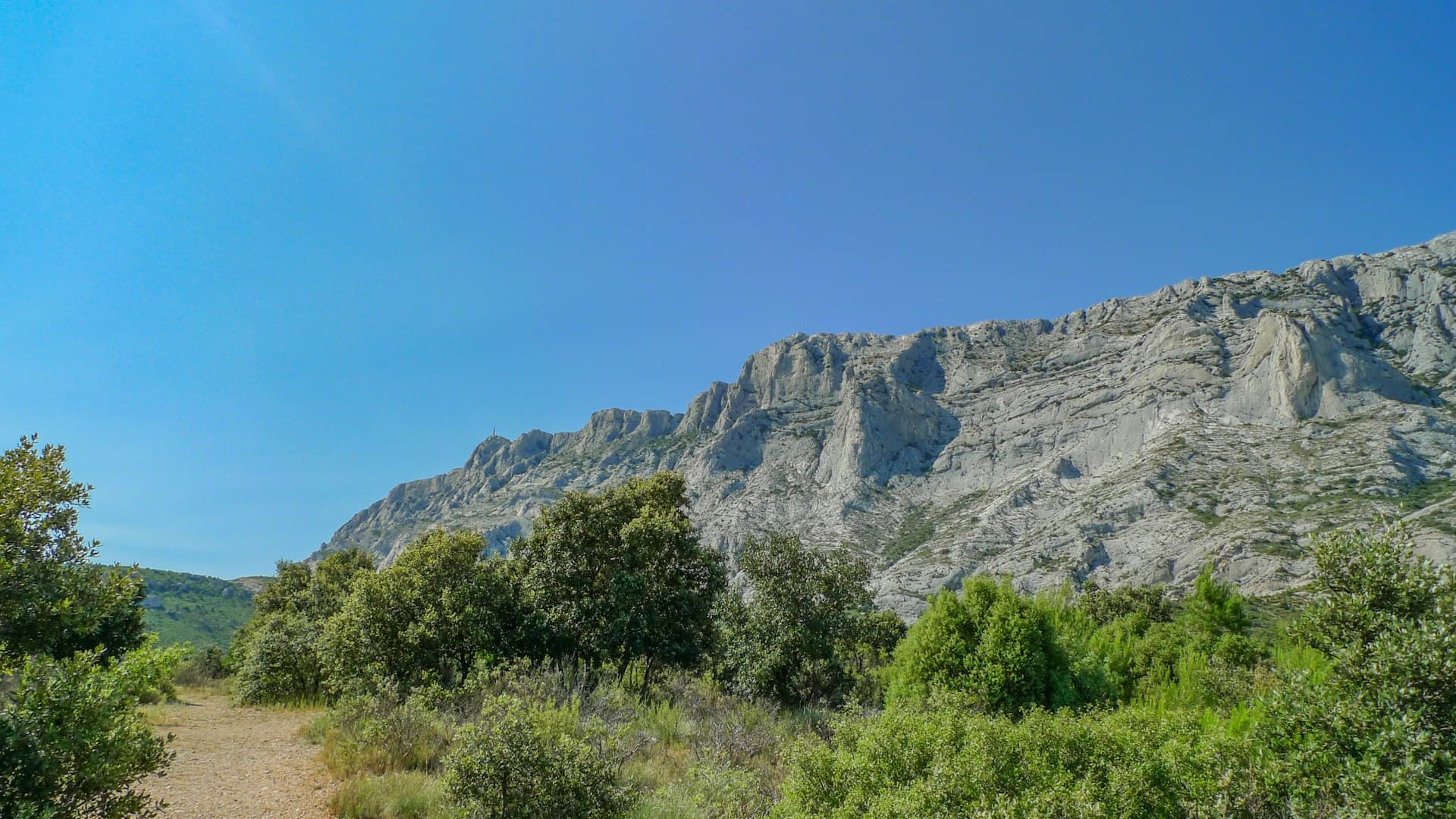
Hiking Near Aix-en-Provence: 10 Best Trails
The 10 best hiking trails around Aix-en-Provence: Sainte-Victoire, Bibemus, Zola and other accessible routes, with GPX files to download.
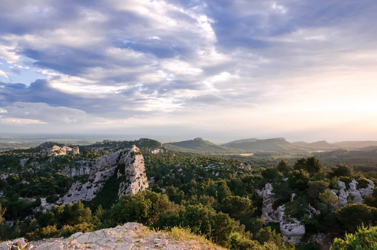
The 10 Easiest Hikes in Bouches-du-Rhône
Discover the 10 easiest hikes in Bouches-du-Rhône: seaside walks, calanques viewpoints and Provençal panoramas accessible to all levels.
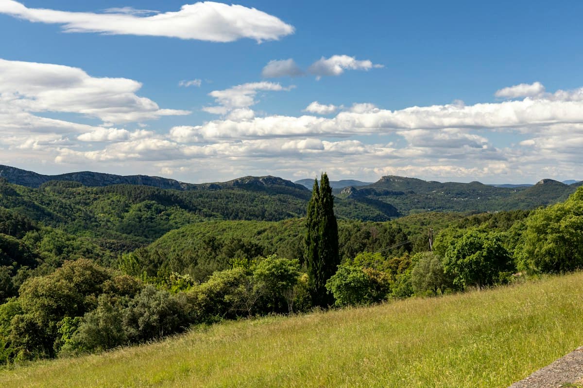
Easy Hikes around Aix-en-Provence: Concors, Trevaresse and Arbois
Eight easy hikes around Aix-en-Provence beyond Sainte-Victoire: discover the Concors, Trevaresse, Arbois plateau and Vauvenargues hills.