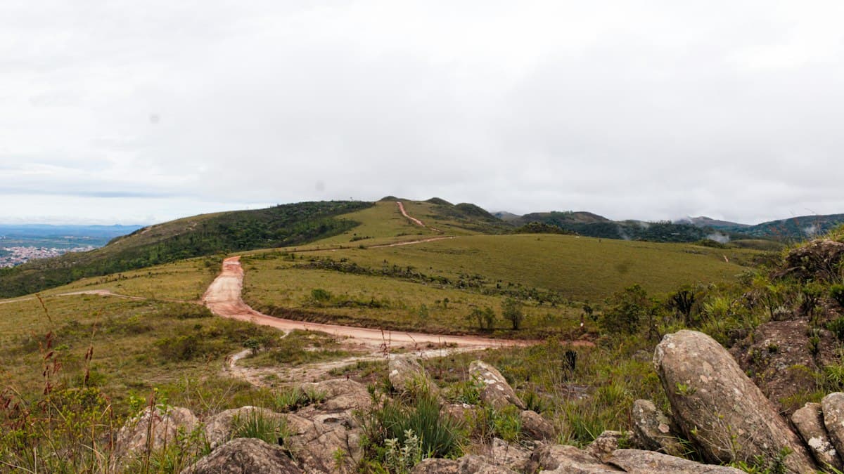
Hiking in the Monts de Vaucluse: Gorges, Bories and Lavender Plateaus
Wedged between the Luberon to the south, Mont Ventoux to the north, and the famous spring of Fontaine-de-Vaucluse to the east, the Monts de Vaucluse form a limestone plateau that most visitors drive past without stopping. That's a mistake. This massif hides spectacular gorges, some of France's most beautiful perched villages, limestone formations sculpted over centuries, and an untouched Provençal biodiversity.
This guide covers the essential hikes between Gordes and Sault, with trailhead details, distances, and practical tips for planning your visit.
1. The Monts de Vaucluse: a Limestone Plateau Between Two Giants
The Monts de Vaucluse are not dramatic peaks. The highest point, Signal de Saint-Pierre, barely reaches 1,256 meters. But this karst plateau, lifted between the Luberon faults and the Ventoux foothills, offers a particularly rewarding landscape for hikers.
Limestone is everywhere: underfoot (lapias, clapiers, stone fields), in the centuries-old walls of dry-stone bories, in the enclosed gorges carved by seasonal streams over millennia. Water disappears underground only to re-emerge spectacularly at Fontaine-de-Vaucluse, one of Europe's most powerful springs.
Best Time to Visit
- Spring (April-May): Vegetation explodes with almond and cherry blossoms. Best for the gorges.
- Summer (June-August): The Sault plateau lavender fields bloom until mid-July. Start very early (before 8am) — heat is intense.
- Autumn (September-October): Provençal light at its finest. Summer crowds have left. Our recommended season.
- Winter: Some limestone trails are slippery. The upper plateau can receive snow in January-February.
2. The Gorges de la Véroncle: the Massif's Signature Hike
The Véroncle Gorges, starting from the village of Murs, are the Monts de Vaucluse's most emblematic hike. This dry canyon, carved into white limestone, shelters the ruins of five medieval hydraulic mills — exceptional industrial heritage that few visitors know about.
Trailhead: Parking in Murs village (84220), route de Lioux. Distance: 9 to 11 km (loop). Elevation gain: 350 m. Duration: 3h30 to 4h30.
The trail follows the dry streambed (bone dry in summer), passes under natural arches, and hugs cliffs 30 to 40 meters high. The restored mills, dating from the 14th century, have interpretive panels. Wear shoes with grippy soles — wet limestone in spring is treacherous. The return is across the plateau with views over the Luberon and Ventoux.
Vibram-soled hiking shoes are strongly recommended on this limestone terrain.
3. The Sault Plateau After the Lavender
At 800 meters altitude, the Sault plateau is famous for its lavandin fields, which bloom from late June to mid-July. But hiking here is rewarding throughout the season: the stubble-cut stems in August and September form ochre lines that stripe the plateau as far as the eye can see, and temperatures run five to six degrees cooler than in the valley below.
Chapel of Saint-Trophyme Loop (start: Sault) Distance: 12 km. Elevation gain: 280 m. Duration: 3h30.
The trail heads northeast from Sault through lavandin fields, climbs to the Romanesque chapel of Saint-Trophyme (12th century), crosses the grassy plateau, then descends along the Nesque river edges. In September, the view of Ventoux — its observatory visible on the summit — is exceptionally clear.
Practical note: Sault has good dining options (Provençal specialties, artisanal nougat). The Wednesday morning market is unmissable in summer.
4. Gordes and the Bories: Hiking Through Dry-Stone Country
The village of Gordes, classified among the most beautiful villages in France, is also the starting point for hikes that explore the garrigue landscape and bories surrounding it. Bories are dry-stone huts built between the 16th and 18th centuries, without mortar, by stacking hand-cut limestone slabs.
Bories and Village des Bories Loop (start: Gordes) Distance: 8 km. Elevation gain: 150 m. Duration: 2h30.
The trail starts from the Bouquets parking area, descends to the Village des Bories (an exceptional open-air museum, paid entry but highly recommended), crosses lavender fields, then climbs back through terraced walls and olive groves to Gordes. The view of the Renaissance castle on the return loop is a highlight.
A regional walking guidebook will help you identify bories and understand their history during the walk.
For more on the neighboring Luberon, see our guide to the best Luberon hikes.
5. The Combe de Lioux: the Secret Hike
A few kilometers from Gordes, the perched village of Lioux sees far fewer visitors than its famous neighbor. The combe (valley) that bears its name descends toward the Calavon through an enclosed valley between ochre cliffs and pine forests, offering complete immersion in authentic Provence.
Combe de Lioux Loop (start: Lioux village) Distance: 10.5 km. Elevation gain: 380 m. Duration: 3h30 to 4h.
The trail starts with a steep descent into the combe (watch your knees on the way down), climbs back up via the plateau past abandoned farmhouses with an almost surreal atmosphere, then returns to Lioux via the ridge path with panoramic views of the Luberon. Limited official waymarking: bring a GPS or download the GPX track on OpenRando before heading out.
A GPS watch is particularly useful on this poorly waymarked trail.
6. Fontaine-de-Vaucluse Spring and the Vallon du Puits de Lioux
The Fontaine-de-Vaucluse spring is Europe's largest spring by average flow. It surges from the base of a 230-meter cliff at a point impossible to reach by swimming: the spring is an underwater abyss whose depth has never been reached despite several diving attempts. On the surface, the canyon leading to the spring is a 30-minute walk from the tourist village.
"Source and Plateau de la Vène" Hike (start: Fontaine-de-Vaucluse) Distance: 13.5 km. Elevation gain: 460 m. Duration: 4h30.
After visiting the spring (very busy in the morning — prefer after 3pm off-season), the trail climbs to the limestone plateau de la Vène, crossed by ancient Roman irrigation channels. The plunging view down into the Fontaine-de-Vaucluse basin from the plateau cliffs is breathtaking. Note: little shade on the plateau — carry enough water.
A filtered water bottle is very useful in this area where natural surface water is scarce but some municipal taps exist.
7. Water, Heat, and Access: Practical Information
Water
The Monts de Vaucluse is a karst plateau: rainwater immediately percolates through the limestone and disappears underground. There are virtually no springs on the plateau itself between May and October. The absolute rule: bring at least two liters per person for a half-day hike, three liters for a full day.
Exceptions: the Fontaine-de-Vaucluse spring (at the bottom of the gorge), some labeled municipal taps around Gordes and Sault.
Heat
In July and August, plateau temperatures can reach 38 to 42°C midday. Always start before 8am or after 5pm. Outside summer, temperatures are more manageable but the mistral wind can blow hard on ridges.
SPF 50+ sun protection and a sun hat are essential on the exposed sections of the plateau.
Access and Parking
- Gordes: free parking in the upper village (limited) and Bouquets parking lot (paid in summer, P1 recommended).
- Sault: free parking in the town center, open year-round.
- Fontaine-de-Vaucluse: paid parking at the foot of the village (mandatory from early April to late October).
- Murs (Véroncle Gorges): free parking at the trailhead, route de Lioux.
Public transport is limited in this area: a car is almost essential except for reaching Fontaine-de-Vaucluse from l'Isle-sur-la-Sorgue by summer shuttle.
Exploring Further in the Region
The Monts de Vaucluse forms a natural triangle with the Luberon and the Rustrel Ochres. If you're in the area, don't miss:
- The best hikes in the Luberon: Mourre Nègre summit, the Cedar Forest at Lacoste, the pine forest around Bonnieux.
- The Colorado Provençal at Rustrel: multicolored ochres just 20 km from Gordes — a short but striking hike.
Want to discover more itineraries in the Monts de Vaucluse? Browse the GPX tracks on OpenRando filtered by zone to find the community's top-rated trails.
As an Amazon Associate, we earn from qualifying purchases. Links marked with an external icon are affiliate links.
Related reading
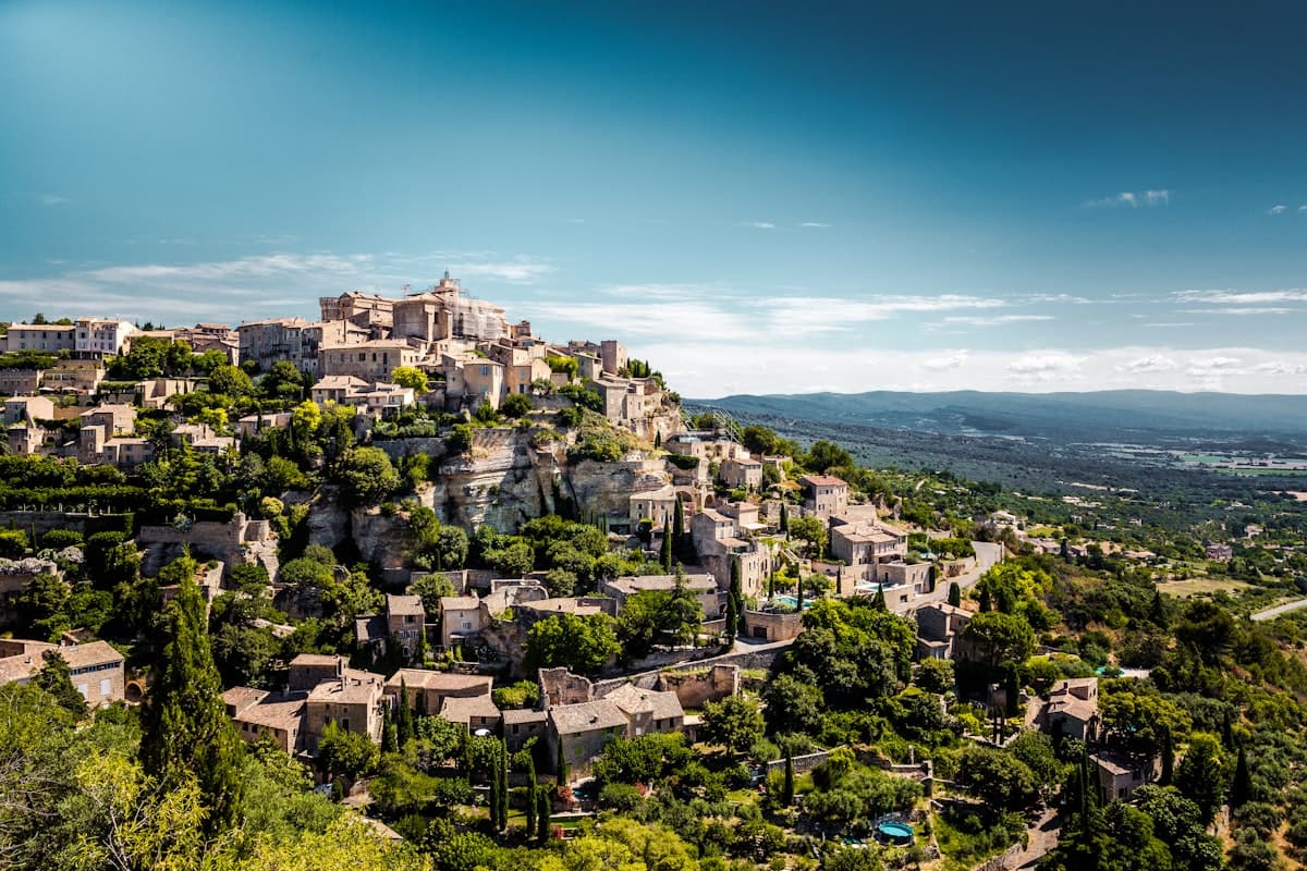
The 10 Most Beautiful Hikes in the Luberon
Discover our selection of the 10 most beautiful hikes in the Luberon: perched villages, wild gorges, cedar forests and stunning Provençal panoramas. Routes, tips and GPS tracks.
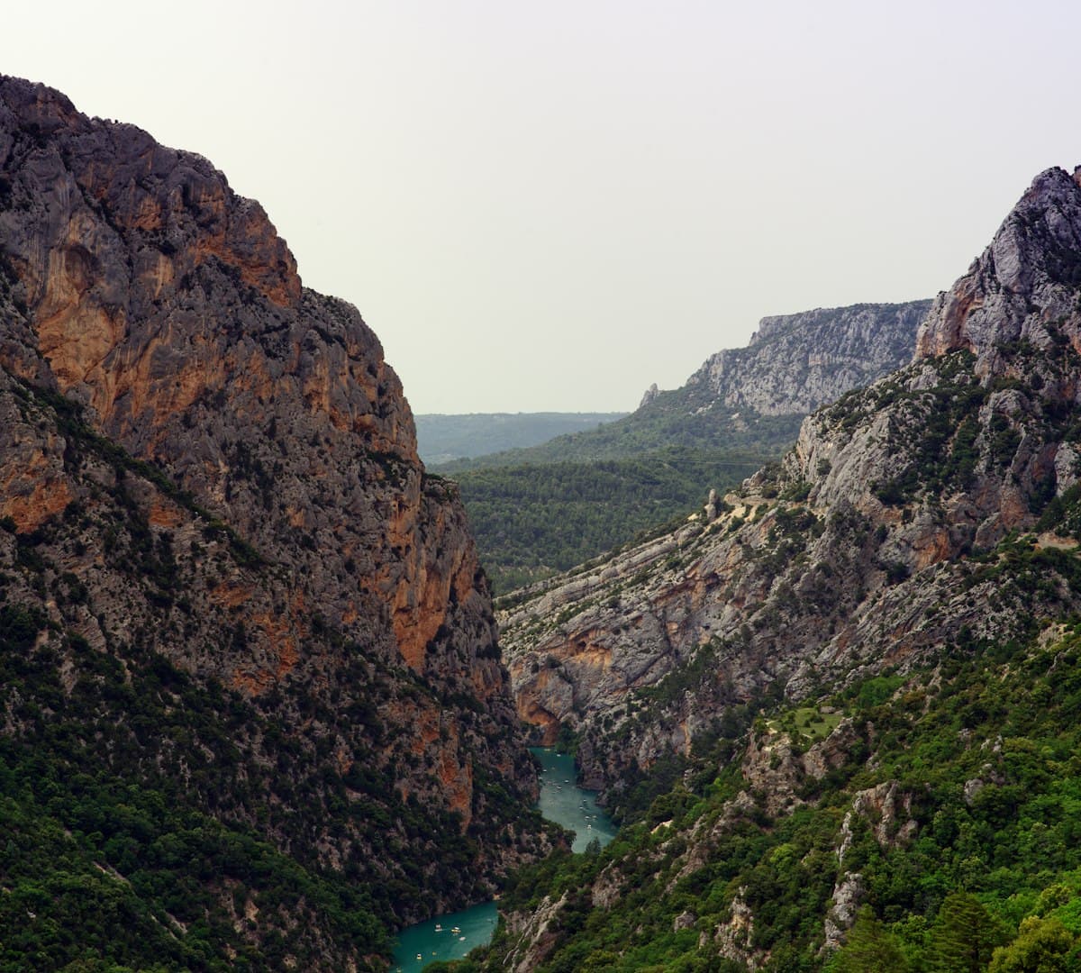
Hiking in the Haut-Var and Northern Verdon Gorges: The Complete Guide
Discover the most beautiful trails in the Haut-Var and the northern rim of the Verdon Gorges: Blanc-Martel, Mourre de Chanier, Cadières de Brandis and more. Trail details, difficulty levels and practical tips.
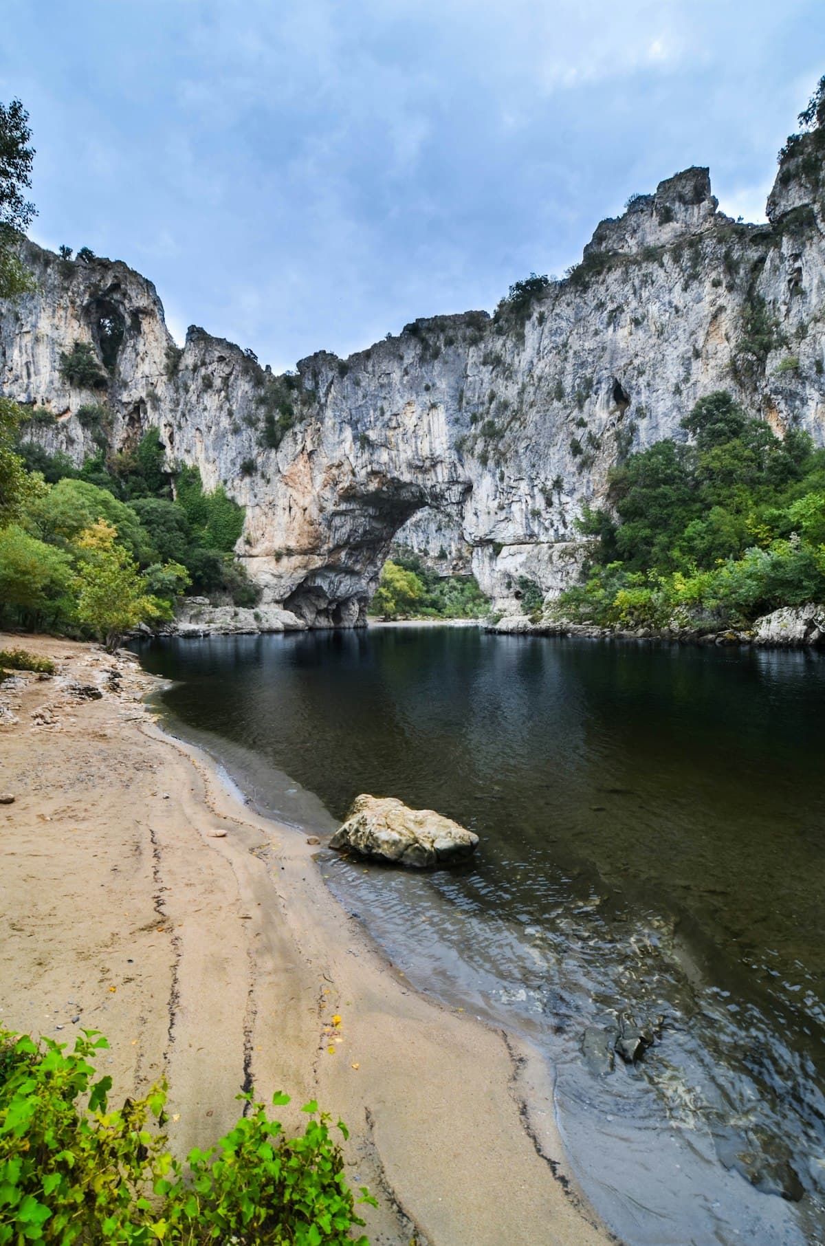
Hiking the Ardèche Gorges: 8 unmissable trails
Discover 8 spectacular hikes in the Ardèche gorges and wild landscapes: volcanoes, canyons, medieval villages and breathtaking panoramas.