Easy Hikes around Aix-en-Provence: Concors, Trevaresse and Arbois
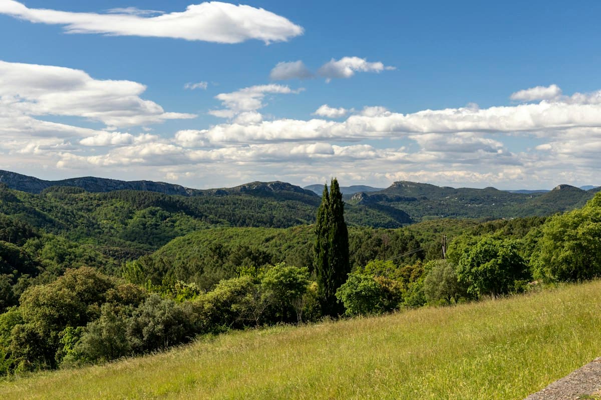
Aix-en-Provence is famous for its iconic Sainte-Victoire mountain, immortalised by Paul Cézanne. But the city is surrounded by lesser-known massifs that are just as rewarding: the Concors ridge to the north-east, the Trevaresse chain to the north-west, the Arbois plateau to the west, and the Vauvenargues hills in between. These quieter landscapes offer easy trails, open views and far fewer crowds than the Sainte-Victoire mountain routes.
This guide presents eight easy hikes accessible from Aix, all situated outside the famous mountain massif. Whether you are a beginner, hiking with family, or simply looking for a change of scenery, these routes will not disappoint.
Why venture beyond Sainte-Victoire
The Sainte-Victoire mountain is the undisputed symbol of the Aix countryside. Cézanne painted it over 80 times, and today it attracts thousands of hikers every weekend. The result: solitude has become a rare commodity on the busiest trails.
The alternative massifs around Aix offer several concrete advantages:
- Fewer people: on the Concors or Trevaresse, you can spend an entire morning without meeting many other walkers.
- Different landscapes: dry garrigue, cork-oak forests, terraced orchards, views over the Étang de Berre or the Luberon.
- Gentler elevation gains: most trails stay below 400 m of ascent, ideal for family outings.
- Easy access: all these massifs are within 30 minutes' drive from the Aix city centre.
Here is a selection of eight itineraries spread across four areas, from the most leisurely to the most engaging.
The Concors Massif
The Concors is a long forested ridge stretching between Vauvenargues and Saint-Paul-lès-Durance, north-east of Aix. Little known outside the local hiking community, it is excellent terrain for peaceful forest walks.
Croix du Concors Loop (beginner)
Distance: 7 km | Elevation gain: +220 m | Duration: 2h15 | Difficulty: Easy
Starting from the hamlet of Vauvenargues, this loop climbs gradually to the summit cross at 905 metres above sea level. From the top, the view sweeps across the Sainte-Victoire, the Luberon, the Durance plain and, on clear days, the Alps.
The ascent passes through a beautiful forest of pines and pubescent oaks. The trail is well-marked in yellow. The descent follows a different path along a grassy ridge with open views over the state forest.
Highlight: a 360° panorama completely unlike that offered by Sainte-Victoire. The Concors lets you admire the iconic massif from the outside.
Discover hikes near Vauvenargues on OpenRando
Vallon de Saint-Ser Trail
Distance: 5.5 km | Elevation gain: +160 m | Duration: 1h45 | Difficulty: Very easy
The Vallon de Saint-Ser is one of the most peaceful corners of the Aix countryside. A Romanesque chapel sits at the head of the valley, surrounded by sandstone boulders and dense vegetation. The path is almost flat and accessible to everyone, including children from age six.
The route starts from the Saint-Ser car park and winds up the valley to the chapel, then follows a woodland trail back to complete the loop. Wear good lightweight hiking shoes as the sandstone boulders can be slippery.
Highlight: the lush valley vegetation, unexpected in Provence. Even in midsummer, the valley floor stays cool and shaded.
The Trevaresse Chain
The Trevaresse is a small elongated massif between Lambesc and Pélissanne, roughly 25 km north-west of Aix. Sadly known for the 1909 earthquake that destroyed several villages, it now harbours a pine forest and ridges overlooking the Étang de Berre.
Trevaresse Ridge Loop
Distance: 9 km | Elevation gain: +280 m | Duration: 2h45 | Difficulty: Easy
From Lambesc, this loop follows the main Trevaresse ridge. You will discover views over the Étang de Berre, the Alpilles and the Crau plain, with the first Alpine peaks visible in the background on fine days.
The pine forest is pleasantly dense and shady. You will pass ruins of farmhouses abandoned after the earthquake, silent witnesses to local history. The return leg takes a different woodland path that is cool and almost flat.
View the Ventabren itinerary on OpenRando
Ventabren Village and Étang de Berre Loop
Distance: 3.5 km | Elevation gain: +55 m | Duration: 1h | Difficulty: Very easy
Ventabren is a medieval village perched on a rocky spur overlooking the Étang de Berre. This short, accessible loop skirts the ruins of Queen Jeanne's castle and delivers a spectacular view over the lagoon.
Ideal for a late-afternoon outing or for families with young children. Bring an insulated water bottle as water sources are scarce on this route.
The Arbois Plateau
The Arbois plateau spreads to the west of Aix, between the A8 motorway and Vitrolles. It is a vast limestone plateau covered with garrigue, little known yet easily reached from the Aix city centre (20 minutes on foot or by bus from the centre).
Parc de la Torse and Arbois Plateau Loop
Distance: 7 km | Elevation gain: +90 m | Duration: 1h45 | Difficulty: Very easy
This hike starts from the Parc de la Torse, Aix's main park, and climbs gradually onto the Arbois plateau. The contrast is striking: within a few minutes of walking you leave the busy city behind and enter an almost deserted limestone plateau.
On the plateau, views open eastward towards the Sainte-Victoire and southward towards the Étoile massif. The chalky ground crunches underfoot and aromatic herbs — thyme, rosemary, lavender — perfume the warm air.
View the Parc de la Torse itinerary on OpenRando
Aix-West Garrigue Trail
Distance: 10.5 km | Elevation gain: +180 m | Duration: 3h | Difficulty: Easy
For a longer outing on the Arbois plateau, this panoramic trail circumnavigates the plateau along limestone cliffs overlooking the Arc valley. You will pass temporary wetlands that shelter frogs and dragonflies in spring.
Be sure to protect yourself from the sun on this very exposed plateau: a wide-brimmed hat and SPF50 sunscreen are essential from May through October.
The Vauvenargues Hills
Between the Concors and the Sainte-Victoire, the village of Vauvenargues — made famous by Pablo Picasso, who is buried there — marks the gateway to little-visited forested hills.
Château Picasso Loop
Distance: 6 km | Elevation gain: +150 m | Duration: 1h30 | Difficulty: Very easy
This short circuit loops around the Château de Vauvenargues, purchased by Pablo Picasso in 1958. Without entering the private estate, the trail skirts the park walls and climbs through surrounding wooded hills, with beautiful views of the Renaissance château and the pine forest.
A perfect combination of culture and nature: the château remains visible from the trail throughout the walk.
Peynier Walk with Sainte-Victoire View
Distance: 4 km | Elevation gain: +60 m | Duration: 1h | Difficulty: Very easy
From Peynier, south-east of Aix, this family-friendly walk offers a superb perspective on the eastern face of the Sainte-Victoire. The path crosses farmland and low garrigue, accessible even for children aged 4–5 with an all-terrain pushchair.
View the Peynier itinerary on OpenRando
Getting there by public transport from Aix
Unlike the Sainte-Victoire, which almost always requires a car, several of these massifs are reachable by public transport:
- Arbois plateau and Parc de la Torse: Aix en Bus lines 10 and 23 from the city centre. The La Torse stop lets you start directly.
- Ventabren: summer shuttle from Aix bus station (check with the Régie des Transports Métropolitains).
- Vauvenargues: bus 110 from Aix bus station, with several morning departures on weekdays.
- Lambesc (Trevaresse): bus connection from Aix but infrequent. A car is more practical.
For car-free hikers, the Arbois plateau is the most accessible terrain from central Aix.
Recommended equipment
These eight hikes are easy and require no technical gear. That said, a few essentials deserve a place in your pack:
- Lightweight hiking shoes: Provençal limestone is hard on standard trainers.
- A water bottle or hydration system: water sources are rare on these massifs. Allow at least 1.5 L per person in summer.
- Sunscreen: the Arbois and Trevaresse plateaux are very exposed.
- A light windproof jacket: the Concors ridges can be swept by the Mistral even in summer.
Going further
Want to explore more of the Aix countryside? Our complete guide 10 hikes around Aix-en-Provence covers the unmissable classics, including several on the Sainte-Victoire. And if you are ready for a more serious commitment, discover our Sainte-Victoire mountain tour itinerary over two days.
To browse all available hikes around Aix, use the OpenRando map and filter by area and difficulty level.
As an Amazon Associate, we earn from qualifying purchases. Links marked with an external icon are affiliate links.
Related reading
Easy Hikes in the Southern Alps: 8 Accessible Routes for All Levels
Discover 8 easy hikes in the Southern Alps: mountain lakes, picturesque valleys and stunning panoramas accessible to beginners and families. Routes, practical tips and GPX tracks.
The 10 Easiest Hikes in Bouches-du-Rhône
Discover the 10 easiest hikes in Bouches-du-Rhône: seaside walks, calanques viewpoints and Provençal panoramas accessible to all levels.
Hiking Mont Sainte-Victoire: 8 Routes for All Levels
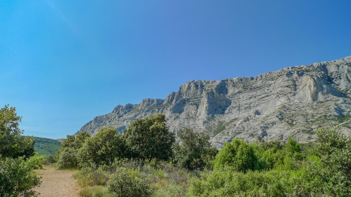
Cézanne painted it 87 times. Discover how to hike Mont Sainte-Victoire: from the Croix de Provence summit to the Prieuré, including Pic des Mouches, here are 8 detailed routes for all abilities starting from Beaurecueil, Vauvenargues or Puyloubier.