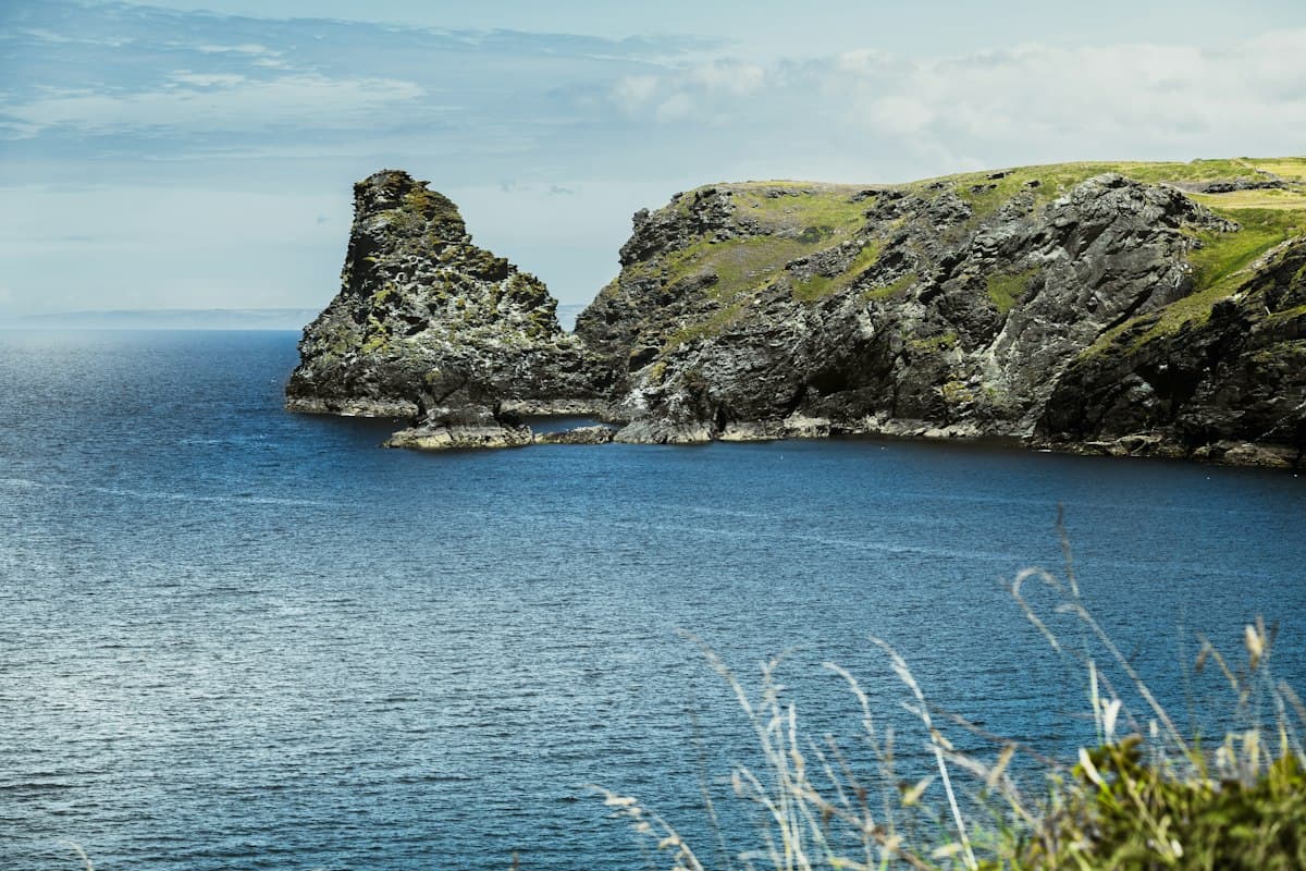
Off-Season Coastal Hikes in Brittany and Normandy
The beaches are empty, the car parks free, the clifftop trails yours alone. Autumn on the Atlantic coast is anything but bleak: raking light stretches every shadow, swells build against the headlands, and the cliffs reveal a quiet violence that summer hides behind beach umbrellas. Brittany and Normandy offer some of their finest days in October and November — as long as you treat wind, waterproofs and tide tables as essential planning tools.
Here are eight coastal itineraries to do off-season, running from Finistère to Seine-Maritime.
Why Autumn Is the Best Season on the Coast
The short answer: light and solitude.
From June to August, the coastal GR trails carry crowds you'd never encounter in the mountains. Some stretches of the GR34 on the Pink Granite Coast see several hundred people per day in high season. In October, that number drops to a handful.
Beyond the lower footfall, the quality of the experience changes entirely. Autumn days deliver raking light all day long — in summer the sun climbs overhead and flattens the relief. In autumn it stays low even at noon, drawing out every striation in the pink granite, every drape in the Norman chalk cliffs.
The sea is more spectacular too: Atlantic depressions roll in at a pace summer never sees, and even without a storm, the background swell running onto the headlands turns them into free spectacles. The freshly exposed kelp at low tide, the salt-laden air, the raw smell of iodine — everything is amplified.
One parameter demands attention: tides. Some passages on the GR34 are submersible at high coefficients. Autumn is no more dangerous than summer in this regard, but shorter days leave less margin for dawdling.
Reading the Tides Before You Go
A few essentials before the itineraries:
The tidal coefficient (20 to 120) indicates the amplitude of the tide. Above 80, the lowest coastal passages can be flooded for several hours. Above 100, some access routes at the Pointe du Raz and Cap de la Chèvre require schedule adjustments.
The twelfths rule: the sea rises (or falls) at different speeds through the cycle. The first hour sees 1/12 of the total range, the two middle hours 3/12 each, then slows again. A path clear two hours before high water can be swamped in forty minutes.
The practical rule: check the tide times for the nearest port on the SHOM website (French Hydrographic Service) or via the Marea app, and plan your low-lying passages within two hours of low water.
On GR34 itineraries with submersible passages, this information is usually posted on panels at the trail head — don't ignore them.
1. Pointe du Raz and Cap Sizun (Finistère)
Grade: Easy to Moderate | Distance: 12 km | Elevation gain: 280 m
Pointe du Raz is the most famous of Brittany's headlands — the place where Atlantic swell meets a rocky promontory with a drama rarely matched anywhere in Europe. Out of season, the site recovers the dignity that 700,000 summer visitors strip from it.
The most rewarding approach doesn't point straight to the tip but circles Cap Sizun from the north before dropping down to the Baie des Trépassés — a sheltered beach tucked between two rocky spurs whose name (once translated as "Bay of the Dead") marks the spot where Celtic tradition held that the souls of the departed were ferried out to sea.
From the bay, the path climbs to the Pointe de Van, less visited than the Raz but offering equally powerful views across the Raz de Sein — the turbulent channel separating the mainland from the Île de Sein.
Tip: Aim for late afternoon in autumn for the light on La Vieille (the offshore lighthouse). The car park at the Maison de la Pointe is charged in season and free off-season.
2. Crozon Peninsula and Cap de la Chèvre (Finistère)
Grade: Easy | Distance: 10 km | Elevation gain: 180 m
The Crozon Peninsula is often described as Finistère's own Finistère: a ragged spit of land whose limestone and schist cliffs drop straight into the Mer d'Iroise. Cap de la Chèvre at its southern tip delivers one of the widest views in all of Brittany on a clear day — west to the Île de Sein, northeast to the Monts d'Arrée.
The path runs above a rocky shoreline extraordinarily rich in marine life between September and November: grey seals from the Douarnenez Bay occasionally haul out in these coves, and common dolphins are not unusual offshore.
Tip: The GR34 access from Morgat to the cap and back (20 km) is a full-day walk. The shorter loop from the cap car park is the better choice if you have only half a day.
3. Quiberon Peninsula — Wild Coast (Morbihan)
Grade: Easy | Distance: 14 km (full wild coast) | Elevation gain: 120 m
The Côte Sauvage is Quiberon's Atlantic face: seven kilometres of cliffs and inlets carved into schist, where the sea pours in with a violence that rules out swimming but produces permanent free theatre.
Off-season, the contrast with the peninsula's calmer eastern side — lined with beaches and, in summer, an infernal ribbon of camper vans — is vivid. In October you'll have the wild coast to yourself. The few surfers still working the Saint-Barbe and Gohland breaks do so quietly, and the black-legged kittiwakes nesting on the cliff at the peninsula's tip are beginning their winter migration.
Equip yourself with waterproof hiking shoes — the path is permanently damp and autumn stream crossings can catch you off-guard.
4. Pink Granite Coast: Perros-Guirec to Trébeurden (Côtes-d'Armor)
Grade: Moderate | Distance: 35 km (3 days) | Elevation gain: 650 m
This is Brittany's crown jewel, and arguably the most photogenic coastal route in France. Autumn light brings out the deep pink of Harcourt granite — an alkali granite rich in orthoclase feldspars that give it its distinctive hue — better than any other season.
The flagship itinerary, Perros-Guirec to Trébeurden over three days, follows the GR34 between the anthropomorphic boulder chaos of Ploumanac'h and the beaches of Trégastel. It's one of the GR34's busiest stretches, but off-season the accommodation is less pressured and the gaps between other walkers run to hundreds of metres rather than tens.
What you can only see in autumn: grey seals from the Sept-Îles reserve (visible from shore) pup between September and November. The seabird colonies — northern gannets, Atlantic puffins, razorbills — are still present until October before the winter migration begins.
Tip: The Sept-Îles nature reserve imposes some access restrictions on nearby paths, signposted on site. In October, accommodation at Ploumanac'h cuts its hours — book ahead even out of season.
5. Cap Fréhel and Fort la Latte (Côtes-d'Armor)
Grade: Easy | Distance: 12 km | Elevation gain: 230 m
Cap Fréhel stands 70 metres above the sea on cliffs of pink sandstone and porphyry. Its two lighthouses (one seventeenth-century, one twentieth-century) are visible thirty kilometres offshore, and the heathland plateau — a classified nature reserve — turns deep purple in September and tawny in November.
The loop between the cap and the fort de la Latte follows the GR34 along a ridge permanently exposed to the westerly wind. In autumn, gusts can exceed 80 km/h during passing depressions. It's one of the few places where you can hear yourself walking: the sound of swell on the cliffs below carries clearly 400 metres back from the edge.
Tip: If you choose a day of passing depression, the view from the cap is all the more striking — but pack a hooded waterproof shell rather than a cape. A Gore-Tex membrane shell holds wind-driven rain far better than a poncho.
6. Mont Saint-Michel Bay (Manche)
Grade: Easy to Moderate | Distance: 14 km (full crossing) | Elevation gain: 80 m
The on-foot crossing of the Mont Saint-Michel bay belongs in its own category: not a coastal walk in the usual sense but a walk in the sea — across the sand banks and salt meadows uncovered at low tide.
Off-season, the licensed guides offer crossings far less crowded than the summer versions. The bay is a Ramsar site (internationally important wetland) and concentrates substantial numbers of migrating waders in autumn — bar-tailed godwit, grey plover, Eurasian curlew — to the delight of birdwatchers.
Important: The crossing must be done with a licensed guide (the quicksands are not a myth, and the incoming tide at high coefficient is extremely fast). The list of official guides is available from the Mont Saint-Michel tourist office.
7. Étretat Cliffs (Seine-Maritime)
Grade: Easy | Distance: 8 km | Elevation gain: 180 m
Étretat is the most photographed site in Normandy — and yet summer crowds have turned it into a theme-park attraction. In November, you reclaim the cliffs on their own terms.
The Falaise d'Aval (west of the village), with its natural arch and hollow needle, is accessible from the beach in under 20 minutes on foot. The Falaise d'Amont (east) offers a wilder path, with the Notre-Dame-de-la-Garde chapel perched 80 metres above the sea.
Linking both cliffs via the clifftop paths gives a figure-of-eight route of about 8 km, with plunging views over the shingle beach from the heights.
What they don't tell you: The Étretat cliffs are chalk. This rock is friable and collapses are frequent, especially after autumn rain. Always stay at least a metre from the edge and never lie down at the rim — chalk collapses are silent and unpredictable.
8. La Hague and Nez de Jobourg (Manche)
Grade: Moderate | Distance: 16 km | Elevation gain: 320 m
Nez de Jobourg is the westernmost point of the Cotentin Peninsula and one of the highest cliffs in France (130 metres above sea level). Less famous than Étretat or Pointe du Raz, its wildness is intact: no shops, minimal tourist signage, and views over the Raz Blanchard — one of the fastest tidal streams in Europe.
The route between the hamlet of Biville and Nez de Jobourg crosses the La Hague plateau — a wind-scoured granite upland where vegetation stays below 40 cm and Cotentin sheep graze year-round. In autumn, the spectacle of waves breaking on the rocks 130 metres below justifies the journey.
Tip: The elevation gain is modest but the distance and wind can drain energy faster than expected. Allow 5 to 6 hours without breaks.
Wind and Safety on Clifftop Paths
Cliffs are environments where accidents have irreversible consequences. Non-negotiable rules:
- Stay at least a metre from the edge at all times, even where the path passes above it. Soil can be destabilised by erosion across a width the eye can't detect.
- Don't lean out to look down. The composition of the view is not worth it.
- In strong wind, lower your centre of gravity and avoid wearing a high-packed rucksack on narrow ridgeline paths — gusts can unbalance you.
- Chalk cliffs (Étretat, Normandy) are particularly unstable after rain. Granite cliffs (Brittany) are more stable, but recent collapse zones are identifiable by lighter-coloured rock.
What to Pack
Off-season on the Atlantic coast, weather can change within 30 minutes. The minimum kit:
- Waterproof footwear: the permanent damp of a coastal path (salt, spray, dew) destroys untreated shoes in a season.
- Membrane waterproof jacket (not a windshell): wind-driven horizontal rain penetrates non-membrane clothing in seconds.
- Headlamp: the short days of October and November can catch you at the end of a route.
- Tide table: printed or downloaded offline before departure.
For multi-day itineraries (GR34 Pink Granite Coast, Nez de Jobourg), browse the GPS tracks available on OpenRando — many hikers have shared their own passages with water points, accommodation and tricky sections annotated.
As an Amazon Associate, we earn from qualifying purchases. Links marked with an external icon are affiliate links.
Related reading
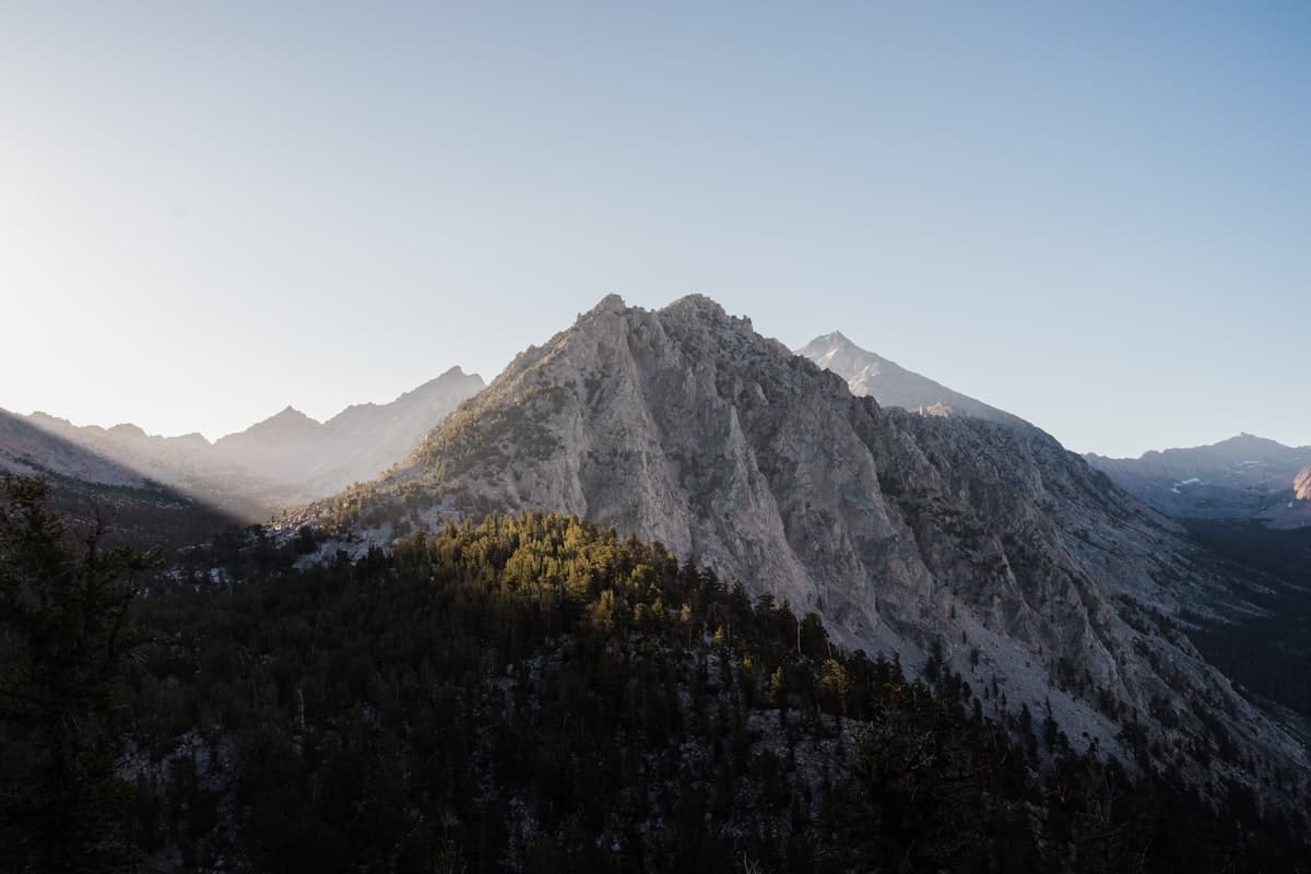
September in the Mountains: The Best Hiking Window of the Year
Why September is the best month for mountain hiking: stable weather, empty trails, golden light, and ideal temperatures. A complete guide.
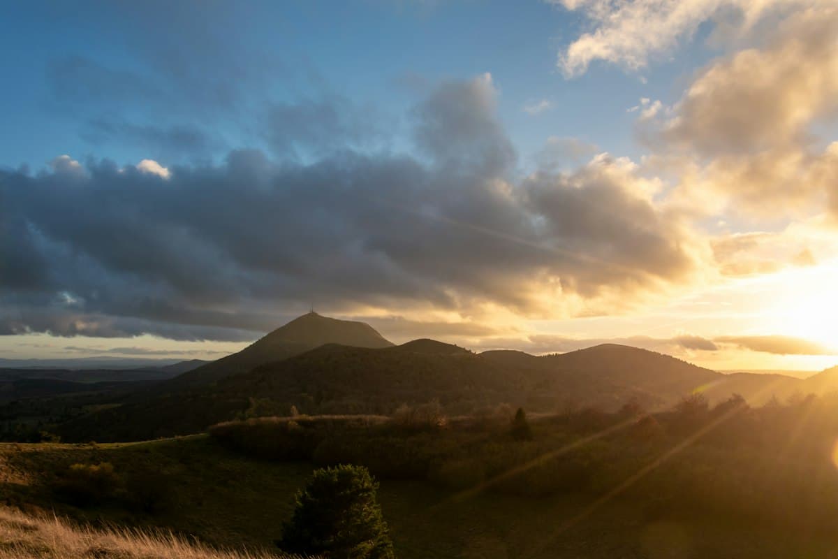
The Best Hikes in the Auvergne Volcanoes
Eight hikes through the volcanoes of Auvergne: the Chaîne des Puys, Sancy, Chaudefour valley and craters, with autumn colours at their peak.
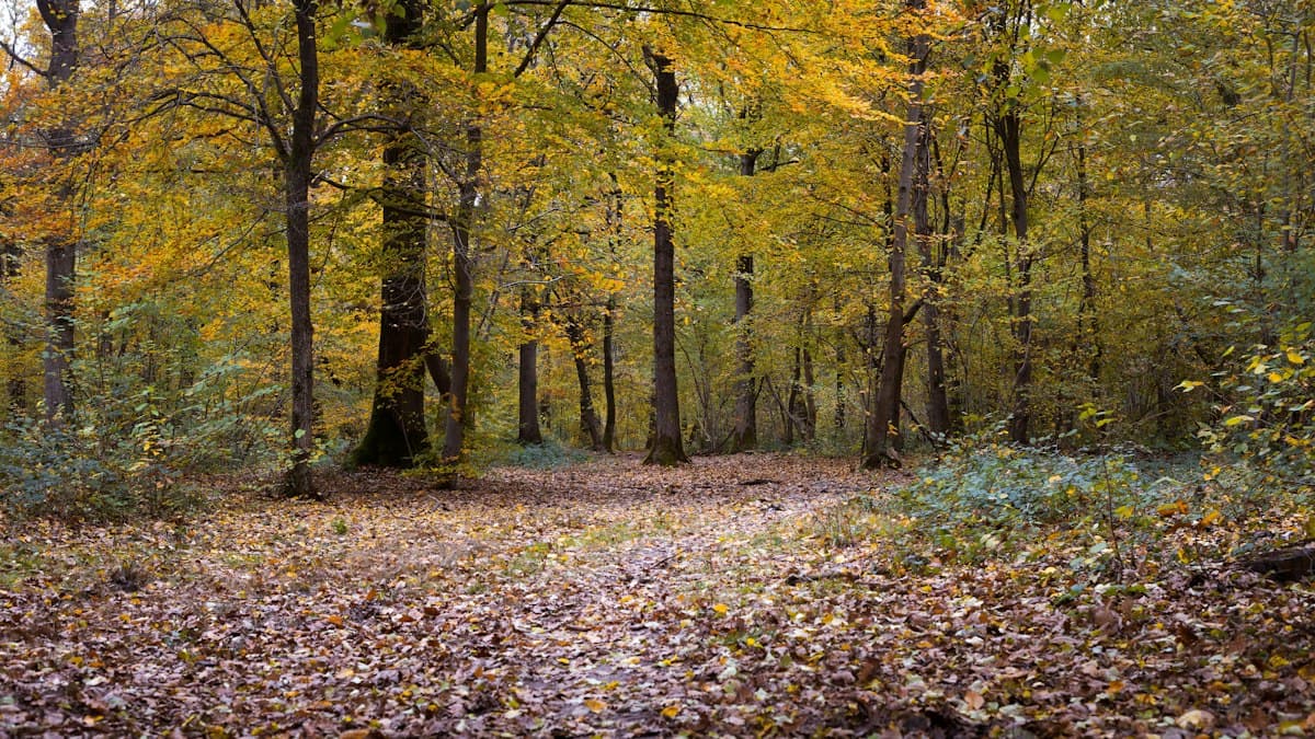
Where to See the Most Beautiful Autumn Colours in France
The ten most beautiful French mountain ranges for hiking through autumn colours, with the optimal timing for each area.