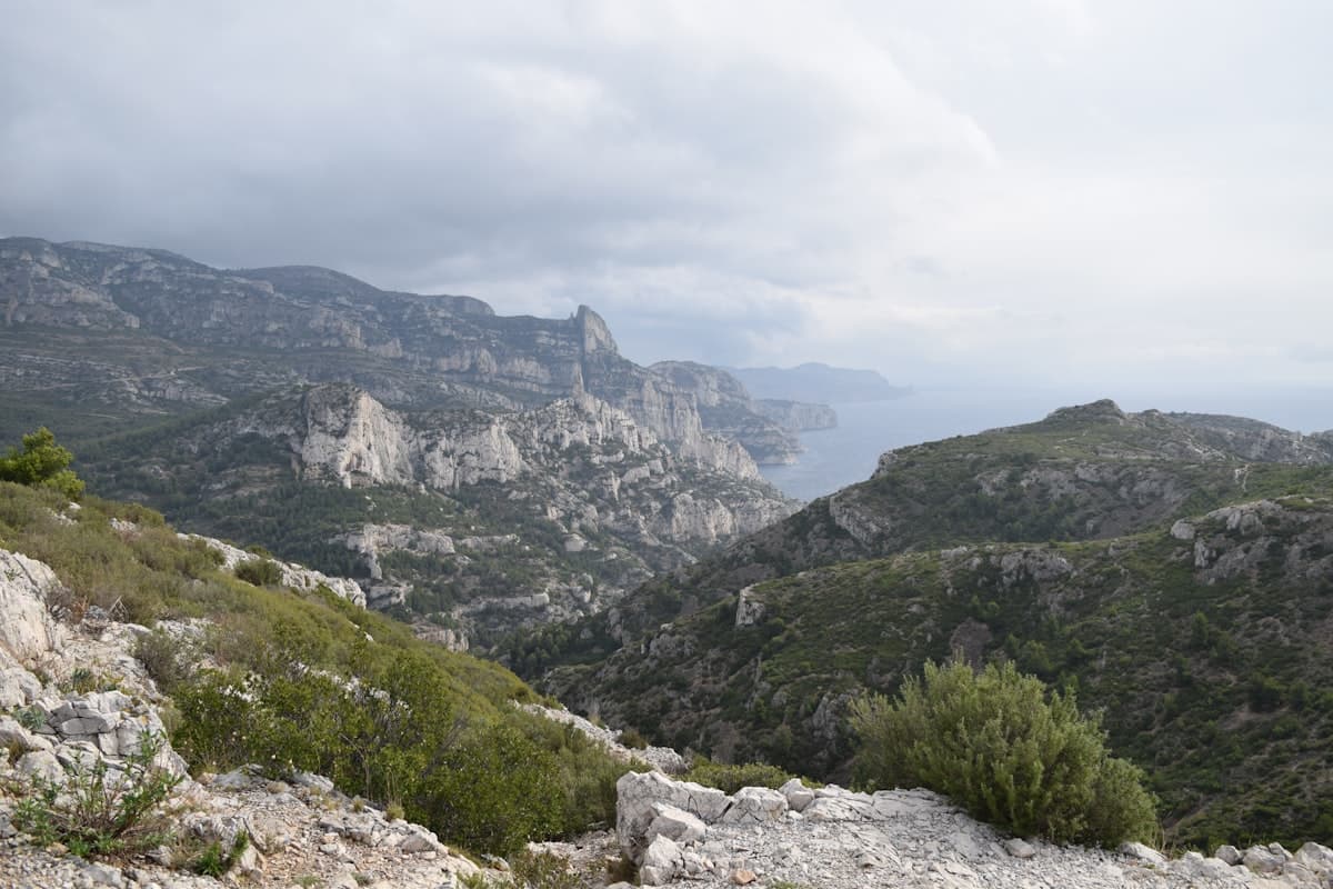
Hiking in the Gard Garrigue, Beyond the Pont du Gard
Gard is far more than the Pont du Gard. Behind that Roman aqueduct drawing hundreds of thousands of visitors every summer, a quiet hinterland unfolds: the garrigue. This landscape of kermes oak, thyme, rosemary and cracked white limestone is one of the most captivating hiking terrains in southern France. Stone-path trails, narrow gorges, hidden concluses, hilltop villages with shaded alleyways — inland Gard rewards those who dare to stray from the tourist routes.
If you want to explore the region without getting stuck in traffic on the D981, this guide is for you. Here are eight hiking ideas in the Gard garrigue, suitable for all seasons and far from the crowds.
The Gard Garrigue at a Glance
The Gard garrigue spreads across a vast limestone plateau, bordered by the Rhône to the east, the Cévennes to the north and the Languedoc plain to the south. It rarely exceeds 400 metres in altitude, but delivers sweeping panoramas over the Nîmes garrigue, the Cévennes peaks and, on a clear day, the Mediterranean.
The terrain is characteristic: white or ochre soil, protruding rocks, dense aromatic vegetation. In summer, the heat can be intense — early morning or late afternoon outings are essential. In September, temperatures become mild again, trails are quieter, and the late-summer light gives the landscape an incomparable golden hue.
What to Know Before You Go
- Trails are often poorly marked outside the GR long-distance routes: bring a 1:25,000 IGN map or download the GPX track before you set out.
- Water is scarce in the garrigue: springs may be dry from April to October. Carry at least 2 litres per person for a 3-hour outing.
- Fire risk is high in summer: some massifs close from 1 July to 30 September. Check prefectural restrictions before heading out.
- Shoes with grippy soles are essential on this slippery limestone terrain.
The Gorges du Gardon from Collias
The Gorges du Gardon are the hidden gem of the Gard garrigue. Just 10 kilometres from the Pont du Gard, the village of Collias gives access to one of the finest trails in the area: the gorge path, which hugs the river for several kilometres along the cliff face.
The classic loop from Sainte-Anastasie (around 10 km, 230 m elevation gain) offers spectacular viewpoints over the Gardon's meanders, the limestone cliffs and the riverbed below. In September, the water runs low and crystal-clear — the perfect opportunity for a well-earned swim at the end.
Find this hike on OpenRando: Vue sur le Gardon – Gorges from Sainte-Anastasie (9.98 km, 233 m D+).
Alternative: Flat Loop Along the River
For families or beginners, the cycle path running alongside the Gardon between Collias and Remoulins offers a gentler alternative. Plan for 12 km round trip on a flat, technically undemanding path.
The Lussan Massif and Its Concluses
Less famous than the Verdon or Ardèche gorges, the concluses of Lussan are well worth the trip. A concluse is a narrow, steep-sided gorge typical of limestone garrigue, carved by a stream over millennia.
The circuit from Fons-sur-Lussan (12 km, 228 m D+) drops into these vertiginous gorges before climbing back out onto the aromatic plateaus of the Lussan massif. The contrast is striking: within a few hundred metres you move from the cool, damp darkness of the gorge to the blinding light of the plateau.
Discover this route on OpenRando — rated difficult, not recommended for very young children.
A shorter option (8.5 km from Goudargues) reaches the Concluses viewpoint and suits families. The path is accessible to well-shod walkers aged 8 and over.
Concluses Viewpoint Loop from Goudargues (8.55 km, 194 m D+, moderate).
Practical Tips for the Concluses
The gorge floor can be slippery and may require wading during high-water periods (March–May). In September, the stream is usually dry or easy to cross in a single step.
Capitelles and Dry-Stone Walls
Hiking in the Gard garrigue also means walking through an open-air museum of vernacular architecture. Capitelles — those round dry-stone huts built by farmers to shelter from the sun or store tools — dot the trails of the Uzège massif and the Nîmes garrigue.
Some are perfectly preserved; others slowly crumble back into the scrub. All tell the story of a rural civilisation that tamed this arid landscape for centuries. The trails linking Collias, Vers-Pont-du-Gard and Saint-Hilaire-d'Ozilhan pass genuine concentrations of capitelles, some dating back to the 17th century.
To make the most of these discoveries, a pair of lightweight compact binoculars will also help you spot the local wildlife: short-toed eagles, peregrine falcons and ocellated lizards are regular residents of the limestone cliffs.
Uzès and Its Surroundings on Foot
Uzès, France's first "duchy town", makes an ideal base for exploring the Gard garrigue. The medieval centre is listed as a historic monument and well worth a visit, but it is outside the ramparts that walkers will find the best trails.
The Bois de Lens Plateau
North of Uzès, the Bois de Lens plateau offers several circuits through tall, well-preserved garrigue. Downy oaks replace the kermes oaks of lower altitudes here, and wild orchids bloom from March to May. In September, porcini and boletus mushrooms may appear on the woodland edges — pick sparingly and only for personal use.
The Eure Valley
East of Uzès, the Eure valley houses the remains of the Roman aqueduct that fed — precisely — the Pont du Gard. A 6 km trail links the visible ruins in Uzès down to the Gardon riverbank, offering a fascinating historical perspective on this feat of engineering.
If you want to explore this area further, our article on hikes around Uzès and the Pont du Gard lists the best circuits between the two heritage sites.
Saint-Jean-du-Gard: Gateway to the Cévennes
At the northern fringe of the garrigue, Saint-Jean-du-Gard marks the entrance to the Cévennes. The village is worth a visit for its Cévenol architecture and its steam railway (Train à Vapeur des Cévennes). From the centre, several trails quickly climb to ridges offering panoramas over both worlds: the garrigue to the south, and the chestnut trees and schist of the Cévennes to the north.
The 7.5 km loop from the Cévennes Train station (280 m elevation gain) suits walkers with a reasonable fitness level. It follows the Saint-Jean Gardon before climbing through wooded ridges — an excellent snapshot of the landscape transition between garrigue and Cévennes.
Water, Heat and Access in the Garrigue
When to Hike in Gard?
September is the ideal month: daytime temperatures drop below 30°C, vegetation stays dry and fragrant, and the trails empty out after the summer. The raking light of late summer gives the limestone a remarkable honey-gold tone.
March–April is an excellent second option: the garrigue blooms (cistus, euphorbia, orchids), temperatures are mild and fire risk is zero.
July–August: avoid unless setting out before 9 am. The heat can be dangerous after 10 am, and many trails are legally closed when the fire risk is very high.
Navigation and Preparation
- Maps: IGN Blue Series 2840 OT (Uzès, Pont du Gard) and 2840 ET (Nîmes, Beaucaire) cover the main area.
- Water: carry 2 to 3 litres per person, no exceptions. Village fountains are rare and sometimes dry.
- Sun protection: hat, sunglasses, SPF 50+ sunscreen. The garrigue offers little shade.
- Footwear: Vibram-sole shoes or equivalent are strongly recommended on wet limestone. Light low-cut shoes are sufficient for most itineraries.
Getting to the Gard Garrigue
- By car: A9 motorway from Montpellier or Lyon, exit Remoulins or Bagnols-sur-Cèze. Garrigue car parks are generally free.
- By train: Nîmes station (TGV), then regional coaches to Uzès (45 min), Collias or Vers-Pont-du-Gard.
- Camping: many campsites sit on the edges of the Gorges du Gardon and around Uzès. The garrigue is best explored as a 2–3 day trip.
Discovering a Living Garrigue
The Gard garrigue is not a frozen backdrop. It is a dynamic environment shaped by generations of farmers, shepherds and craftspeople, whose traces — capitelles, retaining walls, sheep drailles — still structure the trails of today. Walk slowly, look up, and let yourself be surprised: a short-toed eagle soaring above a plateau, the scent of thyme crushed underfoot, the absolute silence of a concluse at noon.
Explore all available hikes in the region on the OpenRando map — over 160 GPS-tagged tracks for the Gard département, all verified and downloadable in GPX format.
As an Amazon Associate, we earn from qualifying purchases. Links marked with an external icon are affiliate links.
Related reading
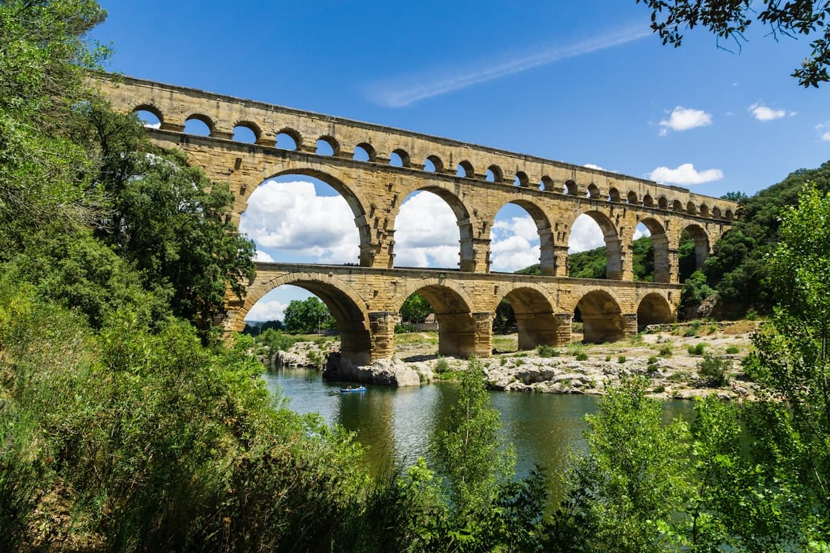
Hiking Around Uzès and the Pont du Gard: 8 Loops Through Garrigue and Heritage
8 hikes around Uzès, the Pont du Gard, and Nîmes: garrigue loops, Gardon riverbanks, stone huts, and charming villages. Downloadable GPX tracks.

Where to Hike This Summer in the South of France?
From the Pyrénées-Orientales to Provence through the Hérault, discover our 8 must-do hiking routes in the South of France this summer.
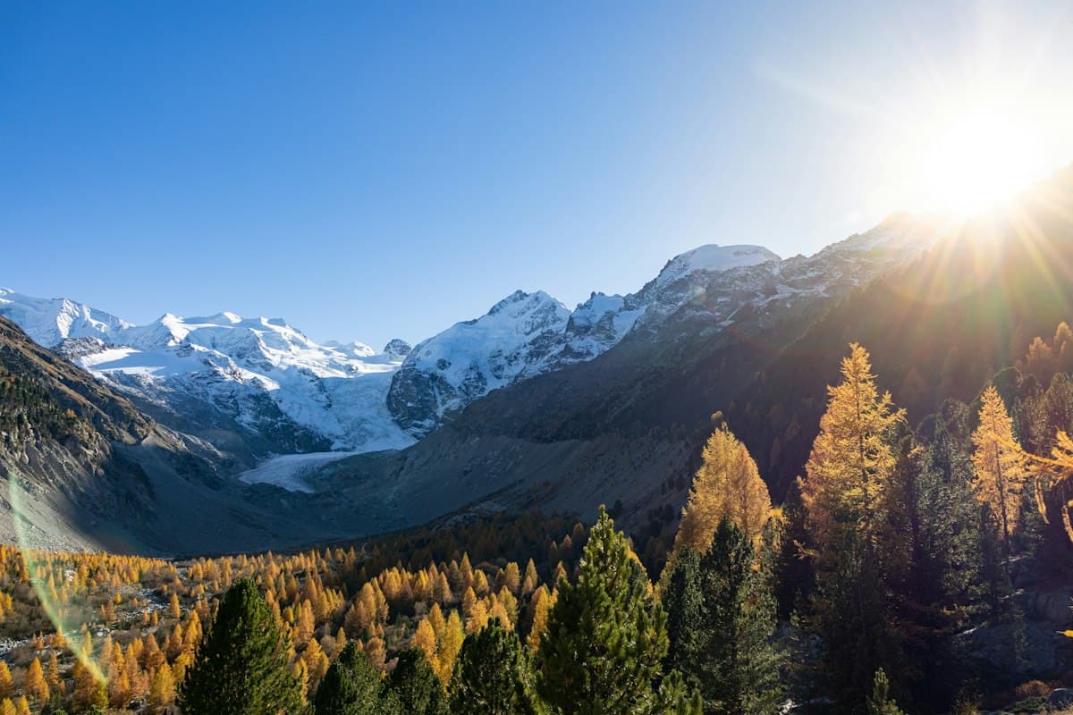
The Most Beautiful Hikes in the Queyras in Autumn
Seven hikes in the Queyras amid autumn colors: golden larches, high-altitude lakes and timber villages between 1,800 and 2,900 meters.