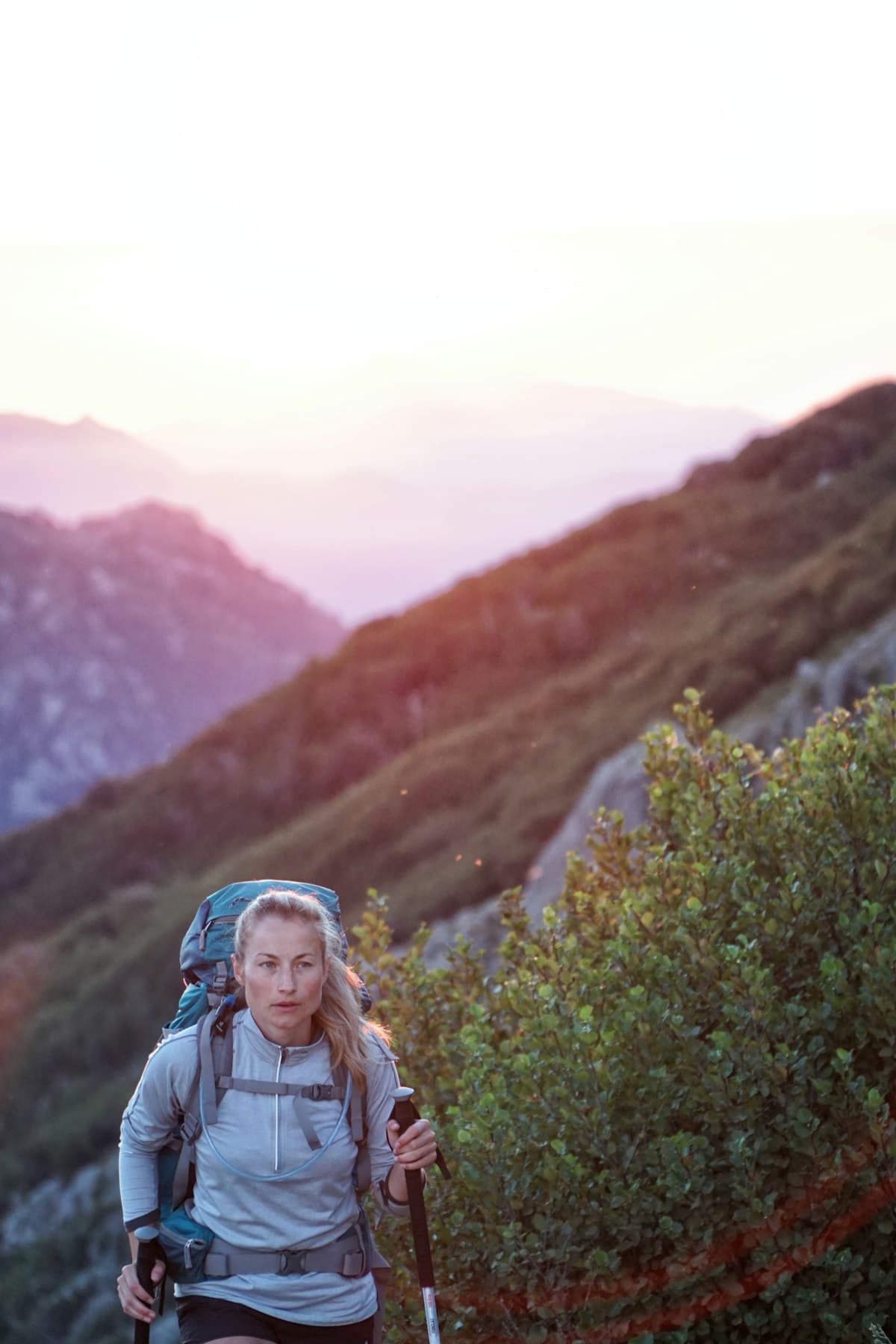
The Best Hikes in Corsica: the GR20 and Beyond
Corsica truly earns its nickname, the Island of Beauty. Nowhere else in France will you find such a concentration of wild landscapes: fragrant maquis scrubland, Laricio pine forests, glacial mountain lakes, vertiginous gorges and rocky ridges rising dramatically above the sea. For hikers, it is an exceptional playground. The GR20 is the most famous showcase, but the island harbours many other routes well worth exploring.
Corsica, a Hiker's Paradise
With more than 5,000 km of waymarked trails, Corsica is one of Europe's richest hiking destinations. What sets it apart is the density and variety of landscapes packed into a relatively small territory. In a single day's walk you can move from a forest of centuries-old beech trees to a windswept mineral plateau, then descend into a valley threaded by turquoise torrents.
The relief is impressive: Monte Cinto rises to 2,706 m, and some twenty peaks exceed 2,000 m. The main ridgelines run north to south, dividing the island into micro-regions with very distinct characters. To the east, beaches and flat coastline contrast with the wildness of the interior valleys.
Best season: from mid-June to late September for high-altitude trails. The GR20 is generally passable in its entirety from June to October, but conditions above 2,000 m can be hazardous before 15 June (residual snow, icy sections). Spring (May) is ideal for low- and mid-altitude hikes.
The GR20: One of Europe's Most Demanding Treks
The GR20 is the long-distance trail that crosses Corsica from north to south over approximately 200 km, from Calenzana (Haute-Corse) to Conca (Corse-du-Sud). It is one of Europe's most celebrated and most challenging treks.
Key Stats and Profile
- Distance: approximately 200 km
- Total elevation gain: approximately 13,000 m
- Duration: 15 to 16 days for experienced hikers, 16 to 18 days at a relaxed pace
- Level: advanced to expert — you must be comfortable on rocky terrain, have no fear of heights, and be able to carry a 10–15 kg pack over long distances
- Accommodation: mountain refuges and shepherds' huts throughout the route (advance booking mandatory in high season)
Two Halves: North and South
The GR20 is traditionally divided into two sections:
The northern half (Calenzana → Vizzavona) is the more difficult and more remote. Rocky passages are relentless, elevation changes severe. The most committing stages are here, including the famous — and now rerouted — Cirque de la Solitude and the traverse of the Aiguilles de Bavella. The scenery is absolutely breathtaking.
The southern half (Vizzavona → Conca) is slightly more accessible, with more forested stages and fewer technical passages. It remains physically demanding nevertheless.
The Petra Piana Refuge Stage
One of the most spectacular stages links the Refuge de Petra Piana via the Lac de Capitello area. The loop Refuge de Petra Piana – Lac de Capitello from Orto (19.8 km, 1,428 m elevation gain) conveys exactly what the GR20 is in its most demanding and most beautiful moments. High-ankle waterproof hiking boots are essential here.
The Ascent of Monte Incudine
Monte Incudine (2,134 m) is the highest point of the GR20's southern half. The loop Monte Incudine – Coscione Plateau from Prugna (19.9 km, 655 m elevation gain) approaches this majestic summit with views stretching to both coasts on a clear day. The loop Bergerie de Croce – Monte Incudine from Zicavo (19.6 km, 732 m elevation gain) offers an alternative approach from the Taravo Valley.
Beyond the GR20: Mare e Monti and Mare a Mare Trails
The GR20 commands all the attention, but Corsica offers other high-quality waymarked routes — often less crowded and accessible to a wider range of hikers.
The Mare e Monti Nord
This trail links Calenzana to Cargèse over 10 stages, crossing the Balagne and the Spelunca gorges. Less demanding than the GR20, it passes through authentic villages (Galéria, Evisa, Ota) and alternates between sea and mountain. Perfect for intermediate hikers who want to experience wild Corsica without the GR20's technical challenges.
The Mare a Mare Centre
From Ghisonaccia to Propriano over 7 stages, this route crosses the island east to west via the Massif de San Petru di Venacu. It offers superb views of both coastlines and overnight stops in village gîtes in the rural interior. An excellent option for those with only a week to spare.
Monte San Petrone and the Castagniccia
The Castagniccia is one of Corsica's densest forested massifs, dominated by an immense chestnut forest. Monte San Petrone (1,767 m) is its highest summit. The loop Monte San Petrone – Piedicroce from Piedicroce (19.9 km, 1,375 m elevation gain) is a remarkable hike that reveals an unknown face of Corsica, far from the crowds.
More Accessible Hikes: Coastal Panoramas and Cape Corse Passes
Corsica is not reserved for experienced trekkers. The Cap Corse, the peninsula stretching northwards, offers coastal paths and passes accessible to all.
Monte Stello, Roof of Cap Corse
Monte Stello (1,307 m) is the emblematic summit of Cap Corse. The loop Col de Santa Maria – Monte Stello from Olcani (19.9 km, 1,010 m elevation gain) is a challenging but achievable hike, with 360° views over the Strait of Bonifacio, Tuscany and the Tuscan archipelago on a clear day.
Col de Teghime and Views of Both Coasts
More approachable still, the Col de Teghime (536 m) offers one of Corsica's most famous panoramas: the Tyrrhenian Sea to the east and the Gulf of Saint-Florent to the west, both visible at once. The loop Col de Teghime from Barbaggio (19.9 km, 670 m elevation gain) is ideal as a first hike on the island.
The Sanguinaires Islands and the Gulf of Ajaccio
On the south-west coast, hiking around Ajaccio holds some fine surprises. The loop Vue sur la côte corse – Îles Sanguinaires from Villanova (19.9 km, 307 m elevation gain) follows the shoreline with the Sanguinaires Islands as a backdrop — a stunning tableau at sunset.
What Gear to Pack for Hiking in Corsica
Corsica is a destination that demands serious preparation, whether for the GR20 or more modest day hikes.
The Pack
For the GR20, a 35–45 litre pack is recommended. Refuges provide dormitory sleeping (bring your own lightweight sleeping bag or liner). A lightweight, ergonomic trekking backpack makes a huge difference over 15 days on the trail.
Footwear
On the GR20, high-ankle boots are virtually mandatory to protect ankles on rocky terrain. High-ankle hiking boots with a Vibram sole are the most popular choice. For the coastal paths of Cap Corse or gentler walks, a mid-cut shoe is sufficient.
Trekking Poles
On the GR20's long stages, folding carbon trekking poles significantly reduce strain on knees during technical descents and provide stability on scree. Highly recommended.
Sun Protection and Hydration
UV radiation is intense at altitude. Pack a sun hat with UV protection and high-SPF sunscreen. For water, GR20 refuges have water points, but a filtering water bottle can be useful on more remote stages.
Insulating Layer
Even in summer, nights at altitude in Corsica can be cool (5–10°C at 1,500 m). Bring a light mid-layer and a packable waterproof jacket — mountain storms can build rapidly in the afternoon.
Planning Your Trip: Logistics and Practical Advice
Getting to Corsica
Corsica is accessible from the mainland by plane (Ajaccio, Bastia, Calvi, Figari) or by ferry from Nice, Marseille, Toulon, Genoa and Livorno. For the GR20, the start point (Calenzana) and end point (Conca) are served by shuttles from Calvi and Porto-Vecchio respectively.
Booking GR20 Refuges
Since 2018, refuge booking has been compulsory on the GR20. The Office National des Forêts (ONF) manages the northern section refuges. Bookings typically open in January for the following season — places sell out fast in July and August. Most refuges offer a half-board option with dinner included.
The GR20 in Short Sections
If 15 days is out of reach, you can absolutely walk one section of the GR20: the northern half between Calenzana and Corte (8–9 days) or the southern half between Vizzavona and Conca (7–8 days). Vizzavona is served by train from both Ajaccio and Bastia, making it the natural mid-point for splitting the route.
Mountain Weather in Corsica
Weather can change very quickly at altitude. Summer storms typically build in the afternoon. In high season, set off early and aim to reach your refuge by 1–2 pm. Check Météo France Corsica the evening before each stage. Dominant winds (libeccio, tramontane) can make certain ridge crossings very exposed.
Going Further
Corsica is a destination that rewards the effort it demands, many times over. Whether you tackle the GR20 in full or wander the paths of Cap Corse at a leisurely pace, every step reveals another facet of this extraordinary island.
Before you leave, explore hiking routes in Corsica on OpenRando to find the itinerary that matches your level and ambitions. If you're planning a multi-day trek, our guide to the 3-day Luberon Traverse also offers useful logistics tips applicable to any long-distance hike in France.
Happy trails — and as they say in Corsican: à tumbera!
As an Amazon Associate, we earn from qualifying purchases. Links marked with an external icon are affiliate links.
Related reading
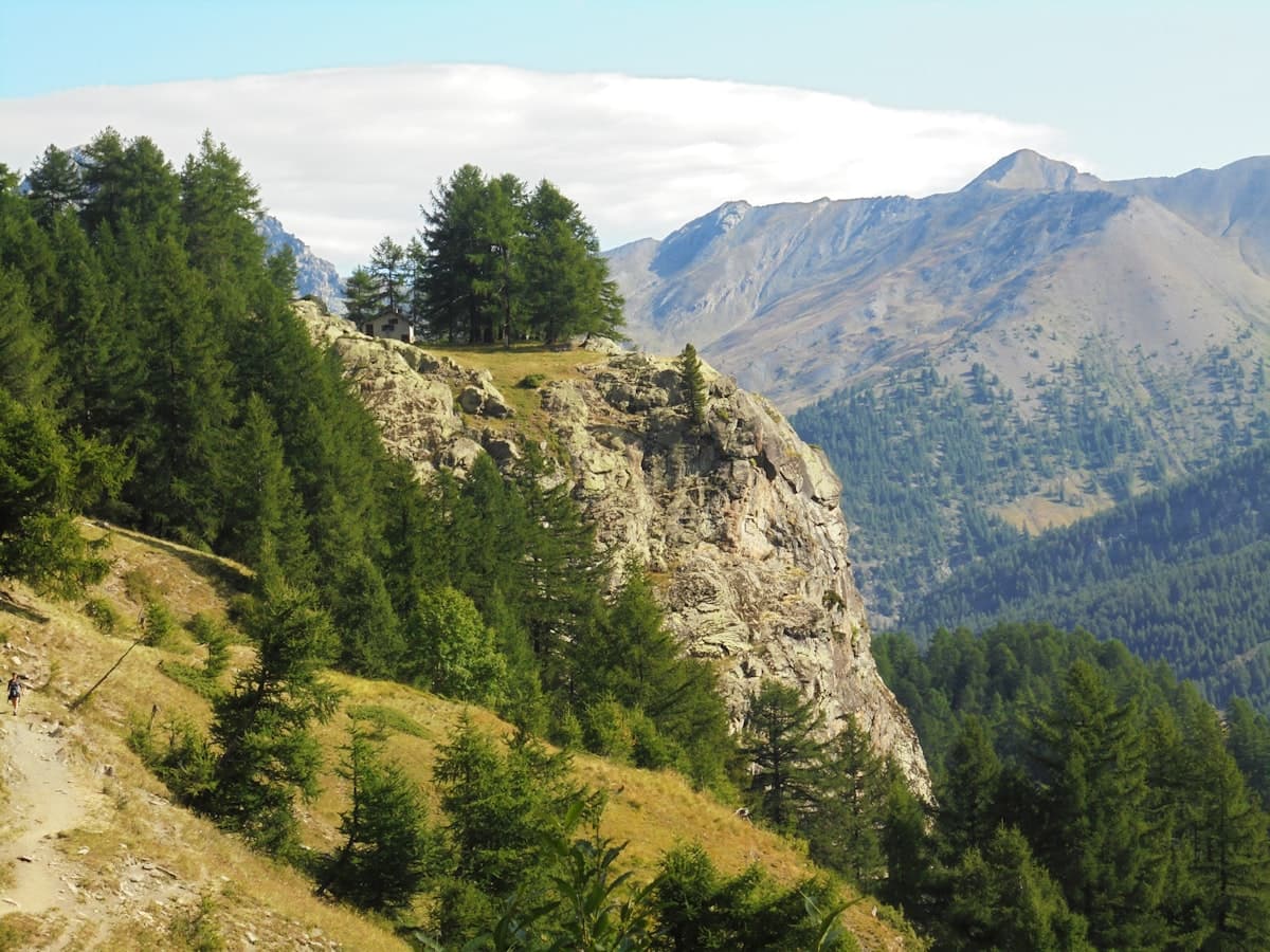
Itinerary: The Queyras Tour in 5 Days
Discover the Queyras Regional Natural Park on a 5-day hiking tour: from Arvieux to Ristolas via Saint-Véran, high-altitude lakes and the Italian border passes. Stages, elevation, accommodation and tips for an unforgettable trek in the Hautes-Alpes.
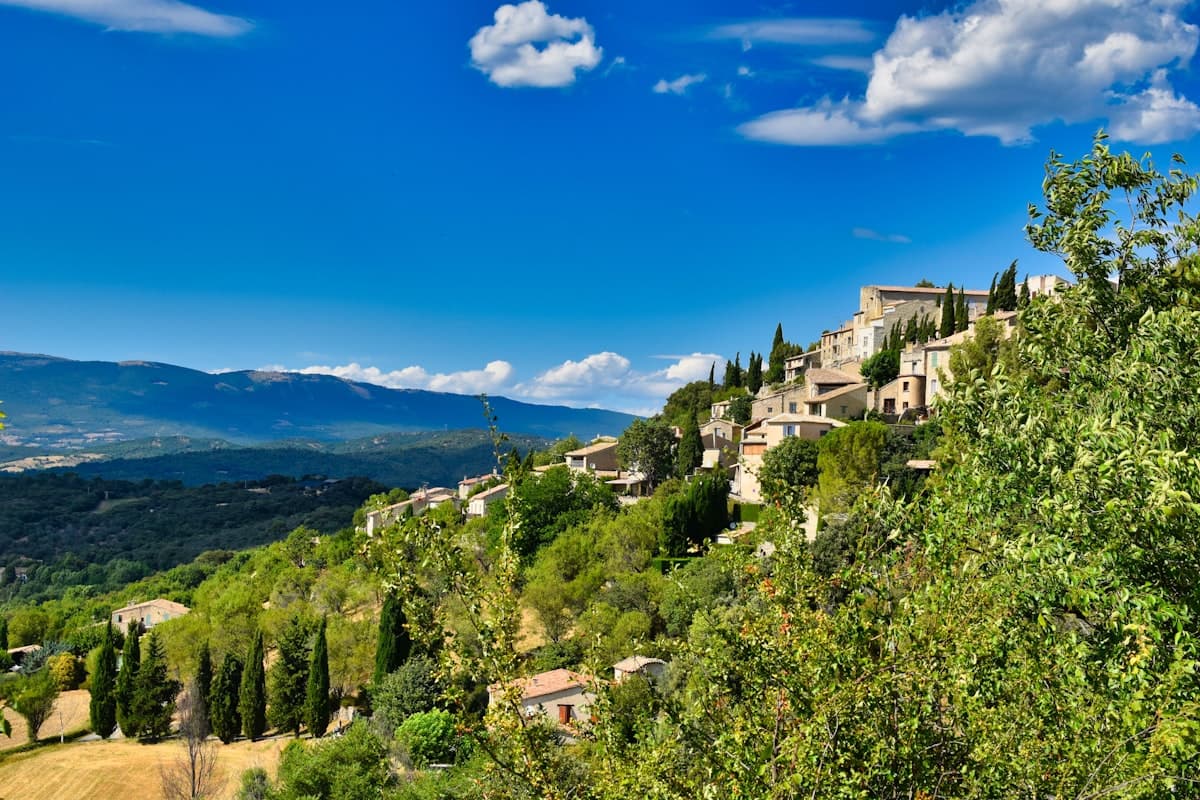
Detailed Itinerary: Crossing the Luberon in 3 Days
Set out to conquer the Luberon in 3 days of hiking: from Bonnieux to the Mourre Nègre summit, passing through cedar forests and ancient plague walls. Stage breakdown, accommodation tips, elevation profiles and practical advice for completing this iconic crossing of the Luberon Regional Natural Park.
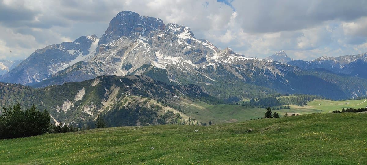
Itinerary: Tour of the Dévoluy in 3 Days
Hiking the full circuit of the Dévoluy massif in three days: stages, refuges, elevation profiles, and everything you need to know about water in this dry limestone range.