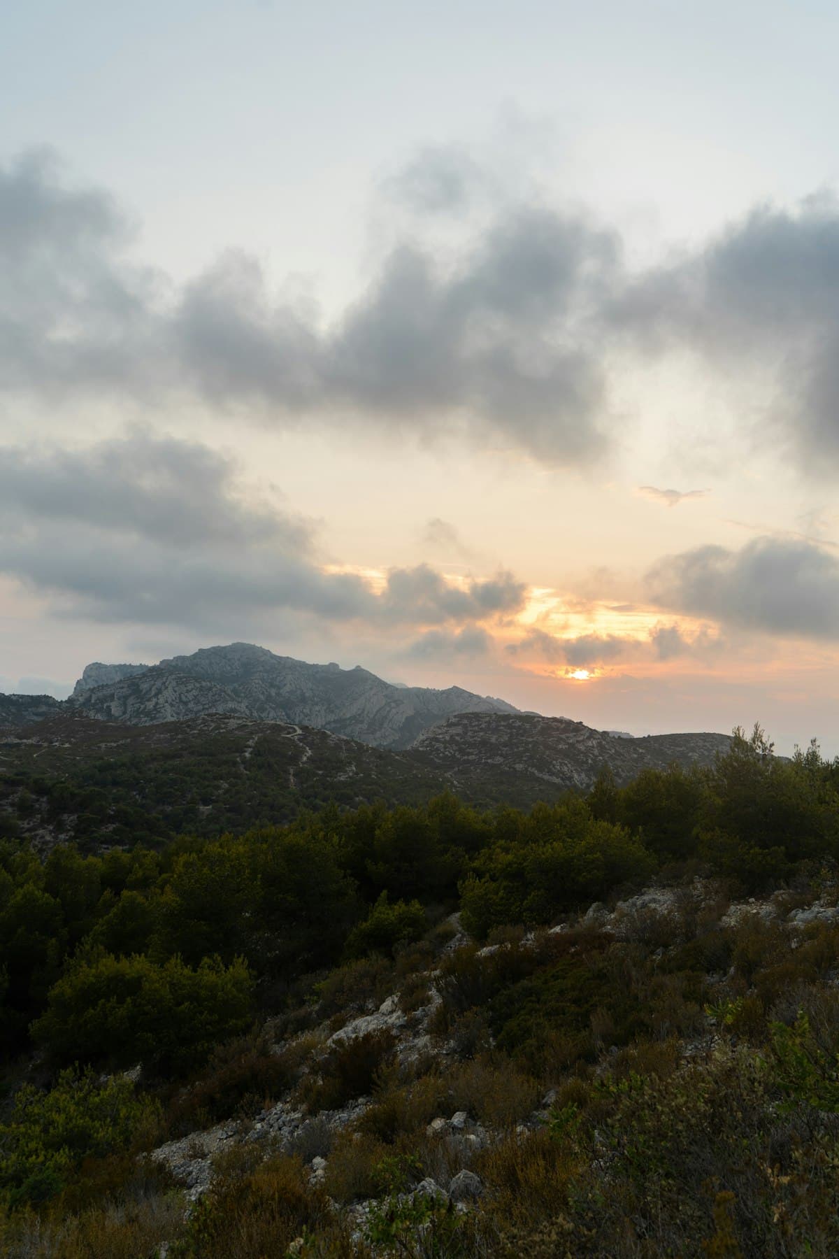
The Calanques Ridge Trail in 2 Days: Complete Itinerary
The Calanques massif is one of France's most spectacular natural wonders: a succession of white limestone cliffs, turquoise waters and trails carved through aromatic garrigue scrubland, stretching between Marseille and Cassis. Among all the routes available in this National Park, the ridge trail is the most dramatic traversal — and arguably the most challenging. Over two days, you walk along the backbone of the massif from east to west, looking down on the calanques from above before descending to the hidden coves that have made this coastline world-famous.
Spanning 29 kilometres of limestone ridges, with 360° views over the Mediterranean, the Estaque range and the Sainte-Victoire massif, the ridge trail is a masterclass in geography and wonder. It is not a gentle stroll: the elevation gains are substantial, the heat can be oppressive in summer, and water is almost entirely absent along the route. But those who take it on come back transformed.
The Ridge Trail: Understanding the Itinerary
The Calanques ridge trail follows the watershed between the maritime face (Mediterranean side) and the inland face (Marseille and Aubagne side). It connects Marseille — starting from the Luminy campus or Madrague de Montredon — to Cassis in the east. Over two days, the route naturally divides into two stages:
- Day 1: The western sector, from Cassis or Port-Pin, toward the calanques of En-Vau and Port-Miou — the wildest and deepest inlets
- Day 2: The central and eastern sector, from Méjean toward La Ciotat and the panoramic viewpoints of the Vistale heights
This split allows you to spend the night in Cassis, a charming seaside town that serves as the perfect base between the two stages. Accommodation options are plentiful, and the local cuisine (aïoli, grilled fish, Cassis AOC wines) is worth the trip in itself.
Day 1 — Cassis, Port-Pin and En-Vau: The Queens of the Calanques
Distance: ~19.5 km | Elevation: +487 m | Level: Intermediate | Duration: 6h
The first day starts in Cassis, the ideal departure point for exploring the most iconic calanques: Port-Pin and En-Vau. These two jewels, accessible only on foot (boats can only approach from the sea), are reserved for those who earn their paradise.
The trail climbs quickly from Cassis toward the limestone ridges. From the very first switchbacks, views open up over the bay of Cassis, the cliffs of Cap Canaille — the highest sea cliffs in continental Europe at 399 metres — and the deep blue Mediterranean beyond. The vegetation is classic Provençal garrigue: rosemary, rock rose, kermes oak and Aleppo pines that scent the warm air.
The calanque d'En-Vau is the wildest and most photographed inlet in the massif. Its 150-metre vertical cliffs, unreal blue waters and profound silence make it a place outside of time. Descend if your schedule allows — the detour (around 45 minutes return from the ridge) is an absolute reward. Calanque de Port-Pin, wider and with a small sandy beach, offers a more accessible setting and a well-deserved swimming break.
For this long, demanding first stage, mid-cut hiking boots with a grippy sole are essential — morning dew makes the limestone particularly slippery.
View Day 1 itinerary (Port-Pin / En-Vau) on OpenRando
Variant: Port-Miou / Port-Pin loop
Distance: 19.4 km | Elevation: +754 m | Level: Strenuous | Duration: 6h30
For hikers seeking a more demanding elevation profile, this variant from Port-Miou adds the Col de la Gardiole and offers even wider panoramas over the Riou archipelago and the islands of Marseille. More challenging, it suits experienced walkers who want to link Port-Miou, Port-Pin and the ridges in a single grand loop.
View the strenuous variant on OpenRando
Day 2 — Méjean, La Ciotat and the Vistale Panoramas
Distance: ~19.2 km | Elevation: +566 m | Level: Intermediate | Duration: 6h
The second day leaves the deepest calanques behind to explore the eastern face of the massif, between Méjean and La Ciotat. The landscape shifts subtly: the cliffs widen, views open over the bay of La Ciotat and the Île Verte, and the garrigue gives way in places to dense pine forest that offers welcome shade.
The calanque de Méjean is less well-known than its western siblings — unjustly. Its longer access keeps the crowds at bay, and its clear waters make it a first-rate snorkelling spot. The ridge trail above Méjean offers one of the broadest viewpoints in the entire massif, with the full Estaque chain and — on a clear day — the Camargue delta visible in the distance.
View the Méjean itinerary on OpenRando
La Ciotat and the Eagle's Beak
La Ciotat marks the eastern limit of the Calanques National Park. The loop from La Ciotat harbour to the Mugel park follows the cliffs of the Bec de l'Aigle — a rocky promontory that looks like the prow of a ship plunging into the sea. The Mugel park, with its subtropical vegetation and prehistoric caves, makes a perfect conclusion to the two-day traverse.
View the La Ciotat / Mugel itinerary on OpenRando
The Vistale Viewpoints
For those who love panoramic views, the Vistale heights offer the most spectacular sightlines of the entire itinerary: on a clear day, you can see Corsica on the horizon — 170 kilometres away. These two variants allow you to explore the sector from different angles, depending on your fitness and available time.
View the Vistale loop (option A) on OpenRando
View the Vistale loop (option B) on OpenRando
Gear for the Ridge Trail
The Calanques massif is demanding terrain that requires serious preparation. The heat, absence of water and slippery limestone make the right equipment non-negotiable.
Footwear
The ridge trails are predominantly limestone: rocky, sometimes unstable, always dry. Mid-cut boots with a Vibram sole are the minimum requirement — trainers and sandals are unsuitable and dangerous on exposed sections.
Water: The Absolute Priority
There are no springs, fountains or water points on the ridges between Cassis and Marseille. In warm weather, allow at least 3 litres per person per day. A backpack with a 3L integrated hydration bladder is ideal so you don't have to stop at every sip.
Sun Protection
The limestone ridges reflect sunlight and offer little shade. SPF 50+ sunscreen, a wide-brim sun hat and category 4 polarised sunglasses are essential, even outside the summer months.
Navigation
Trail marking is generally good, but some junctions can be confusing. Download the GPX tracks from OpenRando before you leave and follow them on your phone with an offline GPS app. Mobile coverage is intermittent along the ridges.
Logistics and Practical Tips
How to Organise the 2 Days
The simplest approach is:
- Day 1: Arrive in Cassis by train or car, hike the Port-Pin / En-Vau loop from Cassis, stay overnight in Cassis
- Day 2: Travel to the Méjean or La Ciotat sector (bus from Cassis, or carpooling), complete the second itinerary, return by public transport
This approach avoids leaving a vehicle on the massif's car parks (expensive and often full during peak season).
Getting There
- Train: Cassis is served from Marseille Saint-Charles (20 min, frequent trains). La Ciotat also has a train station.
- Bus: Several lines serve the trail starting points from Cassis and La Ciotat. Check RTM (Marseille) and Varlib (Var) timetables.
- Parking: Avoid the car parks closest to the calanques — leave those for people with reduced mobility. Park-and-ride options exist in Cassis and La Ciotat.
Where to Stay in Cassis
Cassis has a good range of accommodation: boutique hotels in the centre, gîtes in the vineyards, and camping on the hillsides. Book well in advance during July and August. In May and June, last-minute availability is still possible.
Beyond the Trail: Cassis and Its Treasures
Cassis is more than its calanques. The Provençal seaside town has its own identity: a lively fishing harbour, vine terraces producing one of Provence's rare white AOC wines (Cassis blanc — subtle and mineral), and an old town of colourful lanes.
Make the most of the evening between stages to explore:
- Cassis market (Wednesday and Friday mornings): cheeses, olives, Provençal vegetables
- A boat trip to the calanques of En-Vau and Port-Pin, to see them from the sea — a completely different perspective
- Cassis Municipal Museum: local history and a Provençal faience collection
OpenRando and the Calanques
Find all the Calanques itineraries and dozens of other Provence routes on the OpenRando map. All tracks are downloadable in GPX format with elevation profiles, field photos and hiker reviews. Browse our /explore page to find trails by area, level and distance.
The Calanques ridge trail is one of those hikes that changes you. Two days in an end-of-the-world landscape, between white limestone and blue sea, far from any road. The physical effort is real — and with it comes that deep satisfaction that nothing else quite matches. Lace up your boots, fill your bottles, and go.
As an Amazon Associate, we earn from qualifying purchases. Links marked with an external icon are affiliate links.
Related reading
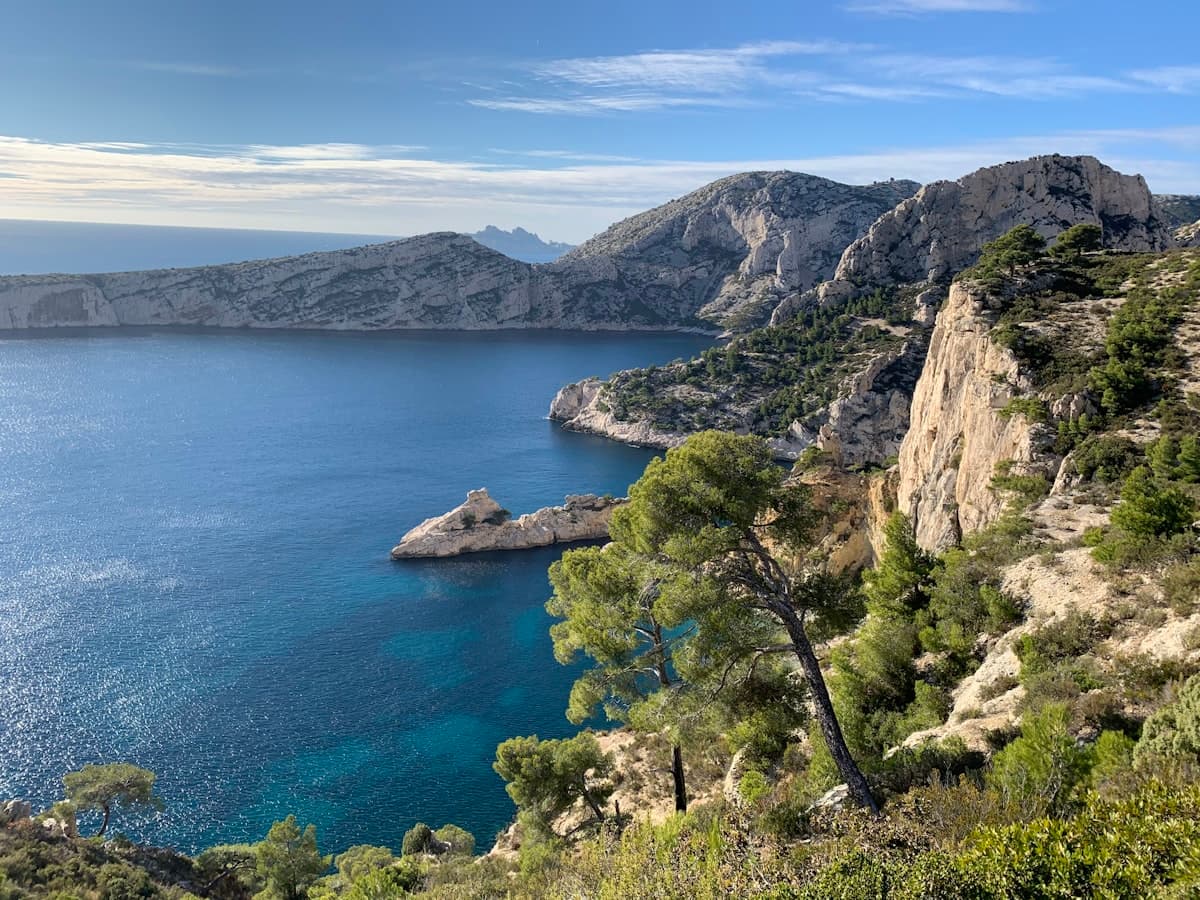
Hiking the Calanques from Cassis to La Ciotat: a complete trail guide
Complete guide for hiking the calanques between Cassis and La Ciotat: trail itineraries, distances, elevation profiles, access tips and practical advice for exploring this Mediterranean coastal gem.
Ascension Long Weekend Hikes: 5 Ideas in Provence
Make the most of the Ascension long weekend with a hike in Provence. Gorges du Verdon, Sainte-Victoire, Luberon, Calanques: 5 unforgettable trails with practical tips and OpenRando links.

5 Micro-Adventure Ideas on Foot for a Long Weekend in Southern France
Got a long weekend coming up? Here are 5 micro-adventure ideas on foot in Provence and southern France — bivouac nights, sunrise hikes, iconic gorges and multi-day crossings.