Hiking the Calanques from Cassis to La Ciotat: a complete trail guide
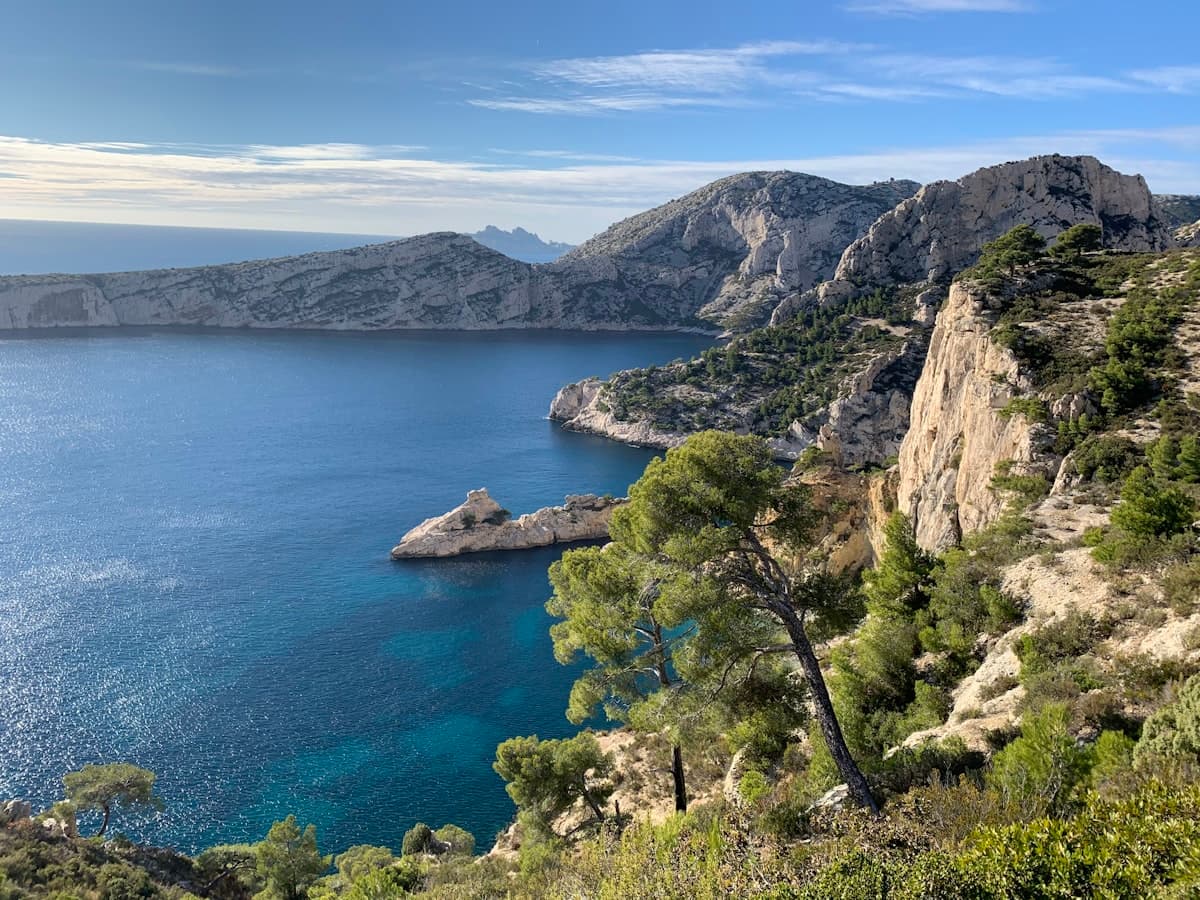
Between Cassis and La Ciotat lies one of the wildest stretches of Mediterranean coastline in France. The calanques — narrow rocky inlets with turquoise waters tucked between towering white limestone cliffs — line more than 20 kilometres of shoreline, accessible almost exclusively on foot. This is an exceptional hiking territory where every clifftop reveals a breathtaking panorama and every descent to the sea brings its own reward.
This area is less famous than the Calanques of Marseille, but that is precisely its appeal: the trails are wilder, the vegetation denser, and the crowds significantly thinner. From the Plage de Port-Pin to the calanque of En-Vau, from the Semaphore of the Bec de l'Aigle to Cap des Moulins, here is your complete guide to exploring this Provençal coastal gem.
Understanding the terrain from Cassis to La Ciotat
The area naturally divides into three zones, each with its own character:
- The Cassis calanques (Port-Miou, Port-Pin, En-Vau): the most famous, with their impossibly blue waters. Be prepared for high visitor numbers in season.
- The Ceyreste sector: a wilder intermediate zone, dominated by the silhouette of the Cabanon du Marquis above a landscape of garrigue and limestone.
- La Ciotat and the Bec de l'Aigle: the spectacular headland of La Ciotat, nicknamed "the beak" for its distinctive shape, offers jaw-dropping panoramas over the entire bay.
The terrain is demanding: trails constantly climb and descend between ridges and calanques, with significant elevation despite modest distances. Invest in a good pair of shoes with a grippy Vibram sole — wet limestone is notoriously slippery.
The hiking routes: from easy to challenging
The grand loop from Cassis: Port-Pin and the calanque d'En-Vau
Distance: 19.5 km | Elevation: +487 m | Level: Challenging | Duration: 6h30
This is the classic route of the area. Starting from Cassis, this loop reaches the Plage de Port-Pin — one of the most beautiful beaches in the region — then climbs to the viewpoint overlooking the calanque d'En-Vau. Sheer white cliffs plunging into turquoise water: a sight that justifies the entire outing on its own.
The route follows part of the GR51, the coastal long-distance trail connecting Cassis to La Ciotat. Vegetation alternates between pine forests, fragrant garrigue and open rocky terrain. In summer, the lack of shade can make this route exhausting — spring and autumn are far preferable.
The shorter Cassis loop: calanque d'En-Vau and Port-Pin
Distance: 15.3 km | Elevation: +467 m | Level: Intermediate | Duration: 5h
This shortened version is ideal if you're setting off a little later in the morning. The trail descends to the Plage d'En-Vau — one of the wildest and most beautiful in the area — then climbs back past Port-Pin before returning to Cassis. Reaching the beach requires a 45-minute descent on a steep but well-marked path.
The Cabanon du Marquis loop from Cassis: the "Petit Grand Canyon"
Distance: 16.0 km | Elevation: +466 m | Level: Intermediate | Duration: 5h30
Starting from Ceyreste, this loop crosses a landscape of sculpted limestone that evokes American canyon country on a smaller scale. The "Petit Grand Canyon" — an apt nickname — is a narrow gorge with ochre and white walls, miles from the bustle of the seafront. A must for geology lovers and fans of raw mineral scenery.
The Bec de l'Aigle loop from La Ciotat: sweeping views
Distance: 10.6 km | Elevation: +323 m | Level: Intermediate | Duration: 3h30
The Bec de l'Aigle is the symbol of La Ciotat. This limestone headland jutting into the sea like the prow of a ship offers a 360° panorama over the Gulf of La Ciotat, the islands of Jarre and Riou, and on clear days, all the way to the Var coast. The climb to the Semaphore gives the widest view in the entire area.
The itinerary is suitable for anyone in reasonable physical condition. Departing from La Ciotat means you can finish with a drink by the sea — a luxury well earned after the effort.
The grand loop from Le Grand Jas: the Bec de l'Aigle in full
Distance: 19.6 km | Elevation: +687 m | Level: Challenging | Duration: 7h
For hikers looking for a proper full-day outing, this loop from Le Grand Jas (La Ciotat) completes a full circuit of the massif, linking the port of La Ciotat, the coastal paths, the Semaphore of the Bec de l'Aigle and the ridgelines. It's the most demanding outing in the area but also the most complete, with an exceptional variety of landscapes.
The easy Cap des Moulins loop
Distance: 11.1 km | Elevation: +46 m | Level: Easy | Duration: 3h
For an outing accessible to everyone — including children and beginners — the Cap des Moulins loop follows the flattest stretch of La Ciotat's coastline. With barely 46 metres of elevation gain, it makes a perfect family walk along the sea.
The Cabanon du Marquis – Colline du Vieux Roquefort loop
Distance: 11.3 km | Elevation: +285 m | Level: Intermediate | Duration: 3h45
This shorter loop from Ceyreste lets you explore the limestone hills above La Ciotat without committing to a full day. The view from the Colline du Vieux Roquefort stretches across the Bay of La Ciotat and the Calanques — an excellent effort-to-scenery ratio.
Practical information for hiking the Calanques
When to go?
The best time is unquestionably spring (April–May) and autumn (September–October). Temperatures are ideal (15–22°C), the trails are well-recovered after winter rains, and visitor numbers are manageable.
- March–May: perfect conditions, the flora is at its peak (thyme, rosemary, cistus in full bloom). The ideal season for the calanques.
- June: still pleasant in the morning, but summer closures may begin. Always check restrictions.
- July–August: intense heat, trails often closed, very high visitor numbers on accessible sections. Not recommended for long outings.
- September–November: ideal conditions return. The sea stays warm for swimming, trails reopen.
- December–February: possible in good weather, but bring warm layers. The mistral can blow hard.
Getting there
By car:
- From Marseille (30 min): A50 motorway, exit Cassis or La Ciotat
- From Aix-en-Provence (45 min): A8 then A50
⚠️ Car parks around Cassis are often full by 9am in season. Use the Vieux Port car park (paid) or the Gorguettes car park with its free shuttle to the calanques.
By public transport:
- Train from Marseille Saint-Charles to Cassis or La Ciotat (30 min), then walk or take a shuttle
- Cassis station is 3 km from the port: allow for a taxi or bike connection
Recommended equipment
- Hiking shoes: essential with a good sole. Mid-height shoes with a Vibram sole provide optimum grip and protection on limestone.
- Plenty of water: minimum 1.5 L per person, 2 L in warm weather. There are no drinking water sources on the calanques trails. An insulated 1-litre bottle keeps water cool in the heat.
- Sun protection: the ridges are fully exposed and the limestone reflects light intensely. A hat, category 3 sunglasses and SPF 50 sunscreen are non-negotiable.
- Daypack: a 20 L daypack is sufficient for a day out.
- Clothing: outside of summer, bring an extra layer — wind on the ridges can be chilly.
Wildlife and flora: what you can spot
The Calanques harbour remarkable Mediterranean wildlife and flora. On the trails, you may encounter:
- Birds of prey: peregrine falcon, marsh harrier, osprey on migration
- The great cormorant: easily spotted on the rocks of the Bec de l'Aigle
- Typical vegetation: kermes oak, Aleppo pine, rosemary, wild thyme, Montpellier cistus
- Wild orchids: numerous species in spring in open areas
In spring, bring a pair of compact binoculars for spotting raptors and seabirds from the clifftops.
Extending your Provençal hiking adventure
If you're planning a longer stay in the region, the Cassis–La Ciotat calanques combine perfectly with other Provençal hikes. Browse our guide to hiking in the Gorges du Verdon or explore our full Provence hiking collection for more inspiration.
Ready to hike the Calanques?
The calanques between Cassis and La Ciotat are among the finest hiking terrain on the entire French Mediterranean coast. From the legendary Cassis calanques to the dramatic cliffs of the Bec de l'Aigle, every route delivers unforgettable scenery and a deep immersion in raw limestone landscape.
Find all these routes with downloadable GPX files on OpenRando Explorer. Check access conditions before you leave, pack your bag carefully, and enjoy this wild coastline at its very best.
As an Amazon Associate, we earn from qualifying purchases. Links marked with an external icon are affiliate links.
Related reading
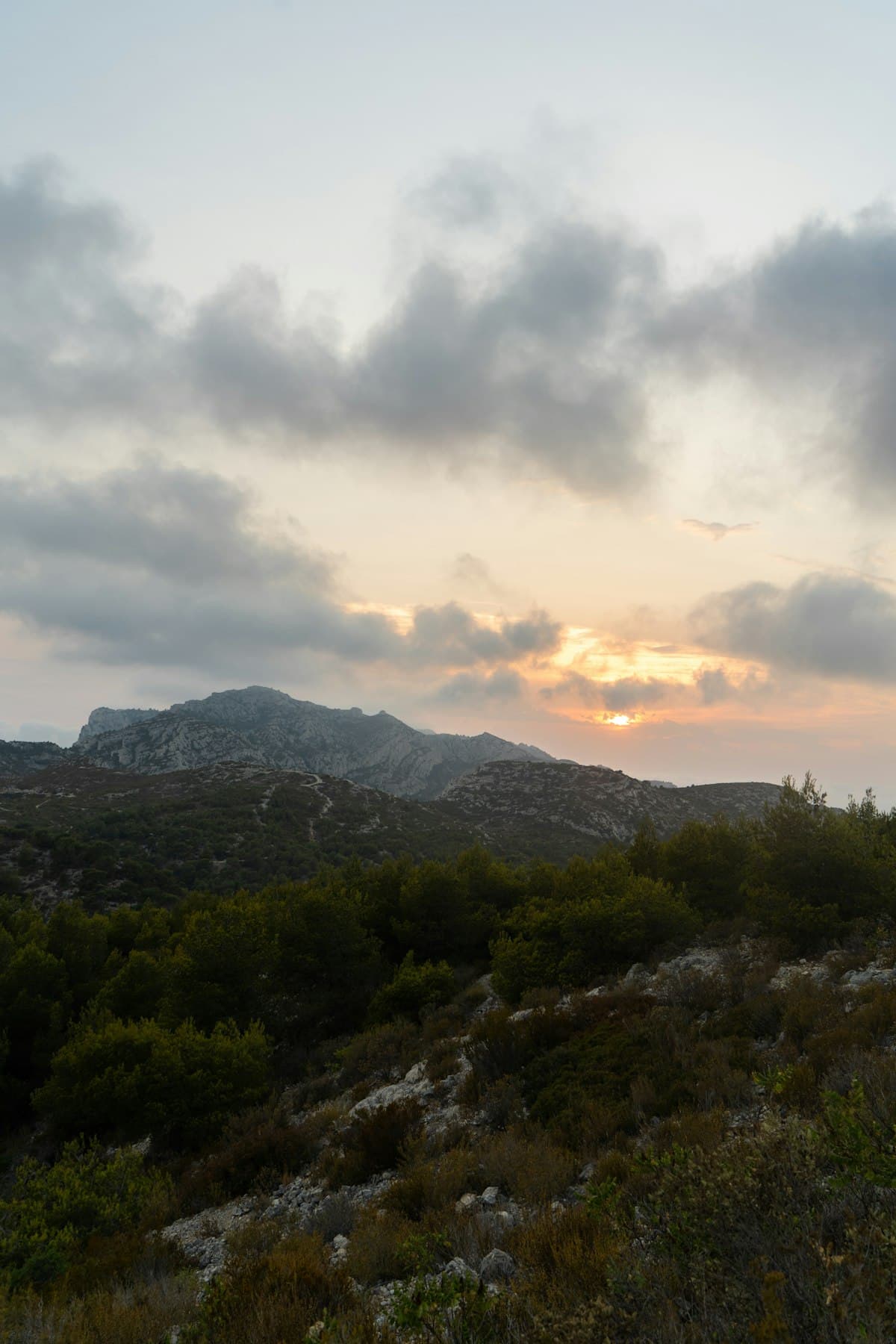
The Calanques Ridge Trail in 2 Days: Complete Itinerary
Hike the Calanques ridge trail over 2 days: detailed itinerary, breathtaking views over the Mediterranean, practical tips and gear for an unforgettable trek between Marseille and Cassis.

5 Micro-Adventure Ideas on Foot for a Long Weekend in Southern France
Got a long weekend coming up? Here are 5 micro-adventure ideas on foot in Provence and southern France — bivouac nights, sunrise hikes, iconic gorges and multi-day crossings.
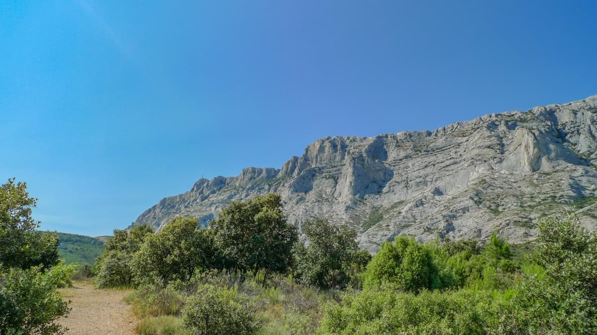
Hiking Mont Sainte-Victoire: 8 Routes for All Levels
Cézanne painted it 87 times. Discover how to hike Mont Sainte-Victoire: from the Croix de Provence summit to the Prieuré, including Pic des Mouches, here are 8 detailed routes for all abilities starting from Beaurecueil, Vauvenargues or Puyloubier.