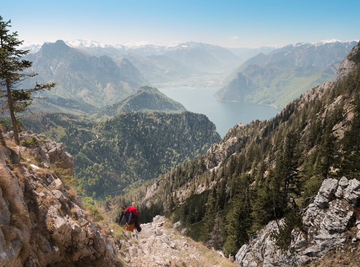
Itinerary: the Haute Route de la Vanoise in 4 days
The Haute Route de la Vanoise is one of the most iconic long-distance hiking routes in the French Alps. In the Haute-Maurienne valley — between Aussois, the glacial refuges of the Fond d'Aussois and the Mont-Cenis plateau — it unfolds four demanding days of trekking through one of France's most beautiful national parks: suspended glacial cirques, jade-coloured lakes, history-laden passes and a remarkably rich alpine wildlife.
This guide details a four-day itinerary designed for experienced hikers: roughly 72 km in total, nearly 4,500 m of cumulative elevation gain, nights in mountain refuges and landscapes that are hard to match anywhere in the French Alps.
Why choose the Haute-Maurienne for your Vanoise crossing?
The Vanoise National Park, founded in 1963, is France's first national park on the mainland. It shelters 107 glaciers, hundreds of high-altitude lakes, and the largest Alpine ibex colony in Europe — around 2,000 individuals that appear almost tame after generations of protection.
The Haute-Maurienne section (around Aussois, Lanslebourg-Mont-Cenis and the Mont-Cenis plateau) has several advantages over the more visited parts of the park:
- Lower crowds: the trails remain relatively wild even at peak season; long stretches without meeting another soul are common.
- Easy access: Aussois is 1h30 from Chambéry via the A43 motorway; Lanslebourg can be reached from Modane station by taxi or shuttle bus.
- Quality refuges: the national park's mountain huts (Plan Sec, Fond d'Aussois) are well-equipped and serve hearty half-board meals with stunning views.
- Varied landscapes: larch forests, flowering meadows, mineral scree fields, hanging glaciers and high-altitude lakes succeed each other without repetition.
- History underfoot: the Col Clapier pass is one of the leading candidates for Hannibal's famous crossing of the Alps with 37 war elephants in 218 BC — sections of the ancient Roman road are still visible.
Preparation and logistics
Required level
This itinerary is for experienced hikers. Each stage involves between 500 m and 1,700 m of elevation gain on sometimes technical terrain: scree fields, early-season snow patches, wind-exposed ridges. You must be able to navigate with a map or GPS track, and be comfortable on loose, unstable ground.
When to go?
The ideal window runs from mid-June to mid-September. Before mid-June, snow can still block certain passes (particularly the Col Clapier at 2,493 m). After mid-September, refuges close and mountain weather deteriorates quickly. July offers meadows in full bloom; August brings better weather odds but busier refuges.
How to get to Aussois?
- By car: A43 motorway towards Modane, then D215 to Aussois. Free parking in the village.
- By train + shuttle: Modane railway station (Paris–Turin via Lyon line), then taxi or Altibus shuttle to Aussois (12 km).
- Return journey: from Lanslebourg-Mont-Cenis, the Altibus line serves Modane and Chambéry — plan an evening return.
Stage 1 — Fond d'Aussois: the glacial heart of the Vanoise
Distance: 19.8 km | Ascent: 1,722 m | Duration: 6h30–7h30
The first stage is the most demanding — and the most breathtaking. From the village of Aussois (1,500 m), the trail climbs steadily towards the Plans d'Amont and d'Aval dams, two hydroelectric reservoirs whose turquoise waters contrast dramatically with the limestone cliffs above. Larch forest gradually gives way to alpine meadows, then to scree.
The Plan Sec Refuge (2,318 m) marks the first major milestone. Higher still, the Fond d'Aussois cirque reveals a monumental scene: the Grande Casse (3,855 m), Savoie's highest peak, towers over a glacier that creaks and rumbles as it melts through summer. Ibex regularly come within 50 metres of the trail at dusk — an unforgettable wildlife encounter.
Recommended overnight: Plan Sec Refuge (2,318 m), or Fond d'Aussois Refuge (2,524 m) if you have the energy.
See the OpenRando track — Fond d'Aussois loop
Stage 2 — Pointe de l'Observatoire: a 360° panorama
Distance: 16.2 km | Ascent: 1,095 m | Duration: 5h–6h
The second day climbs away from the glacial cirque towards the Pointe de l'Observatoire (3,015 m), one of the park's most celebrated viewpoints. The ascent first crosses flowering meadows — gentian, edelweiss, blue thistle — then steepens into a long scree slope.
At the summit, the panorama is extraordinarily generous: the Belledonne range, Mont Blanc, the Matterhorn on the Italian border, the Écrins massif and, at arm's reach, the Grande Casse. Chamois are abundant on the northern ridges, and with patience you may spot a golden eagle quartering the slopes below.
The descent returns to Aussois via a different route, offering fresh perspectives over the Arc valley far below.
See the OpenRando track — Pointe de l'Observatoire from Aussois
Stage 3 — In Hannibal's footsteps: Col Clapier and Lac de Savine
Distance: 16.8 km | Ascent: 1,328 m | Duration: 6h–7h
The third stage carries the weight of history. The Col Clapier (2,493 m) — which many historians identify as Hannibal Barca's crossing point with his 37 war elephants in 218 BC — straddles the French-Italian border. Stones cut from the bedrock, some dating to a 1st-century Roman road, still mark the path.
The climb is long but progressive. The crossing of the pass, often still snow-covered in early June, suddenly reveals the Italian Val di Susa on the other side. The return via Lac de Savine (2,200 m) is a delight: this high-altitude lake with its icy, crystal-clear waters invites a brief but bracing swim.
This stage can conveniently start from Lanslebourg-Mont-Cenis village, avoiding the need to return to Aussois.
See the OpenRando track — Col Clapier and Lac de Savine
Stage 4 — Mont-Cenis lake: a majestic finale
Distance: 19.2 km | Ascent: 497 m | Duration: 5h–6h
The final stage offers a welcome contrast after three hard days: the Mont-Cenis plateau (1,974 m) and its vast artificial lake (11 km²) deliver an almost flat walk, luminous and unhurried, perfect for savouring the landscape without pushing the legs. The panoramic views over the surrounding massifs from the lake's northern shore are exceptional.
Along the way, the route passes through layers of military history: Sardinian fortifications, Napoleonic batteries and ancient mule tracks. The village of Lanslebourg, at the foot of the descent, closes the four-day loop with its hotels, restaurants and bus connections.
See the OpenRando track — Mont-Cenis lake loop
For those wanting to extend this final day, the variant via the Petit Mont-Cenis Refuge adds a few more kilometres into a quieter sector of the plateau.
See also: Petit Mont-Cenis Refuge — Lac de Savine loop — 17.3 km, 520 m ascent
Recommended gear
On a four-day alpine trek in the Vanoise National Park, the right equipment directly affects both your safety and your enjoyment:
- Boots: high-ankle waterproof mountain boots with a stiff sole suited to scree are non-negotiable. No trail runners or trainers.
- Backpack: a 50–55 litre trekking pack to carry your sleeping bag, spare clothes, first-aid kit and day provisions.
- Trekking poles: strongly advised for the steep scree descents and any snow patches. Ultralight carbon telescopic poles save weight and reduce knee stress on descents.
- Waterproof jacket: a 3-layer waterproof shell is essential — summer storms can build in under 20 minutes on the Vanoise plateau.
- Insulating layer: a lightweight down or synthetic jacket for cold refuge evenings and shaded ridge sections.
- Headlamp: a rechargeable headlamp (300+ lumens) for early morning starts and late arrivals at the refuge.
- Sleeping bag: even in well-equipped CAF refuges, a lightweight sleeping bag (comfort limit 8–10°C) is recommended in June and September. In July–August a silk liner is sufficient.
Variants and extensions
The Haute-Maurienne area holds many other outstanding hikes to combine with this itinerary:
- Lac Crintallia — Pointe de la Masse loop (from Brelin) — 17 km, 1,109 m ascent: a little-known sector, very wild, with sweeping views over the Lauzière massif.
- Notre-Dame-des-Neiges Chapel — Refuge de Terre Rouge loop (from Valmeinier) — 18.3 km, 877 m ascent: Maurienne side, with views down to the Col du Télégraphe and the Sybelles ski area.
- Via Alpina Blue Trail from Stellina to Mont-Cenis — 18.4 km, 893 m ascent: a trans-frontier route following the European long-distance path E5.
Practical information
Regulations in the National Park
- Wild camping (bivouac) is permitted in the heart of the Vanoise National Park, but only more than 1 hour's walk from roads, villages and refuges, and for no more than one night at the same spot.
- Open fires are strictly forbidden throughout the park, in all seasons.
- Do not collect plants, minerals or any natural material — foraging is prohibited in the core zone.
- Dogs must be kept on a lead at all times within the national park core zone.
Estimated budget (per person)
| Item | Estimated cost |
|---|---|
| 2 nights in refuge (half-board) | €90–€120 |
| 2 lunches at the refuge | €30–€40 |
| Transport Chambéry ↔ Aussois/Lanslebourg | €20–€60 |
| Total | €140–€220 |
For more multi-day hiking ideas in the French Alps, browse our full catalogue of mountain routes on OpenRando.
As an Amazon Associate, we earn from qualifying purchases. Links marked with an external icon are affiliate links.
Related reading
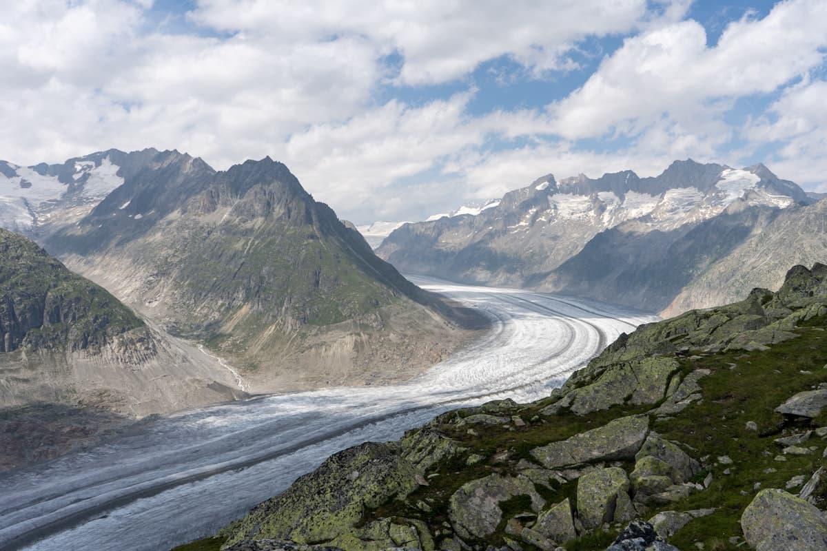
Itinerary: a 5-day tour of the Écrins massif
Legendary glaciers, remote mountain passes and high-altitude refuges: hike the Écrins massif in 5 days, from Le Monêtier-les-Bains to La Chapelle-en-Valgaudemar through France's largest alpine national park.
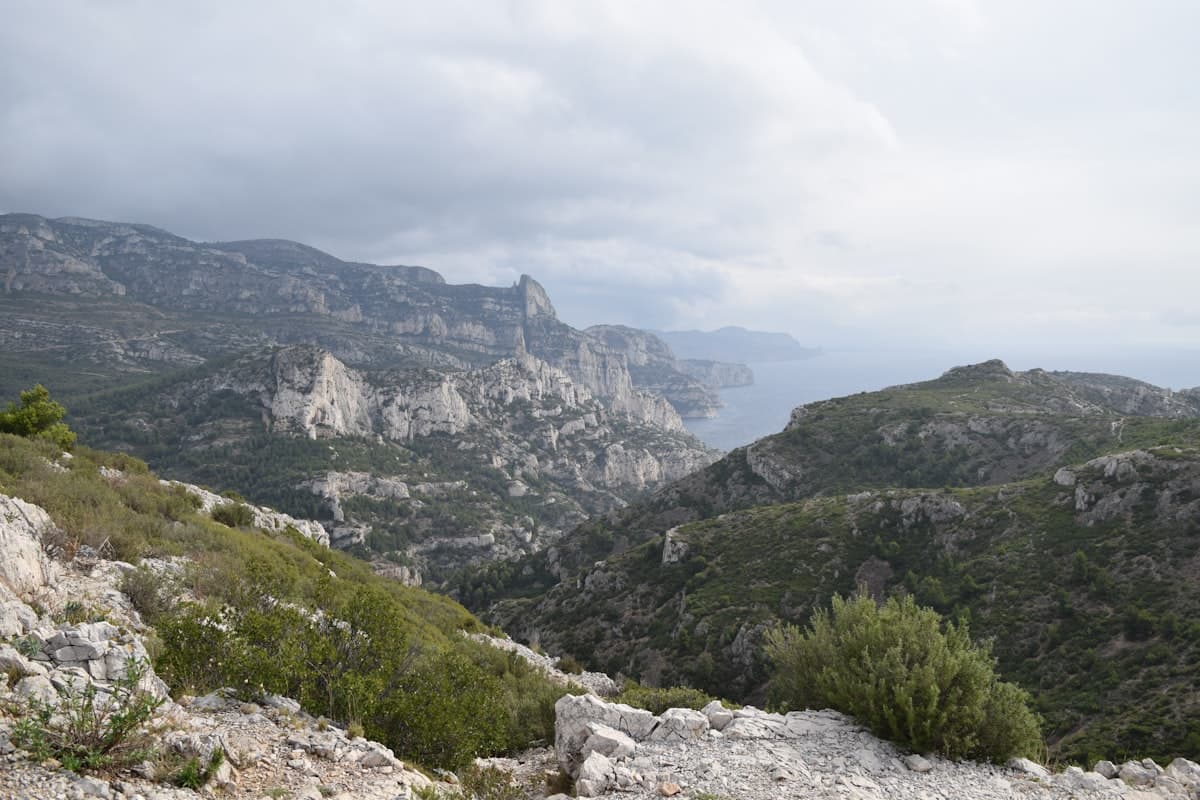
Itinerary: the GR51 Balcons de la Méditerranée in 3 days
Turquoise calanques, the ancient Sainte-Baume forest and Pagnol's beloved Garlaban hills: hike the GR51 Balcons de la Méditerranée in 3 days, from Marseille to Aubagne through Provence's most breathtaking landscapes.
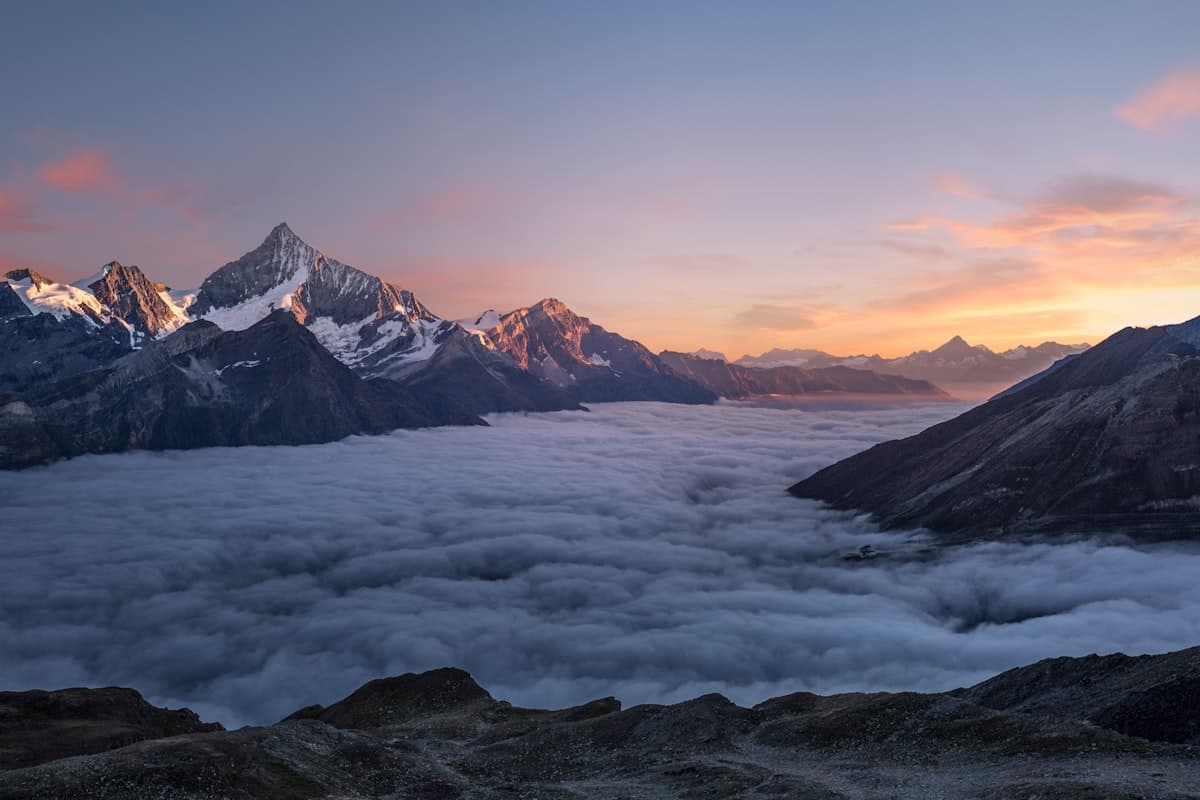
Mountain Refuges in Provence-Alps: Where to Sleep on the Trails
Staffed refuges, unmanned shelters, trail lodges… Discover where to sleep in the mountains of the Southern Alps and Provence for multi-day hiking adventures.